I left my car off road on the north side of Old Meall Road in Aviemore, part of the new housing complex on the west side of the A9. I then headed west into the woodland where I located a forest track and followed it north before joining a track going west. Later I came to another junction where I left the forest track and ascended north-west on a track created by work vehicles when thinning the trees.
There was a bit of brash on the track which came to an end just before a deer fence covered in orange plastic netting to protect the bird life. This made the crossing awkward as the spaces in the netting were too small to take a boot. Once on the other side I continued north-west later turning north as I worked my way through the well spaced trees and the vegetation, mainly longish heather.
Later I emerged from the trees and after a slightly steeper section through heather I arrived on the summit of Carn Mor. The highest point of this Tump appeared to be a large boulder being part of the cairn.
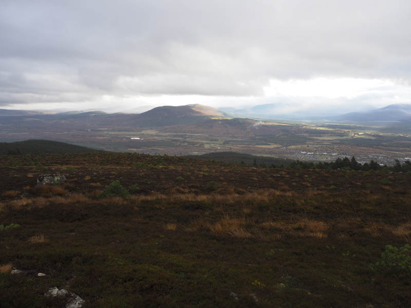
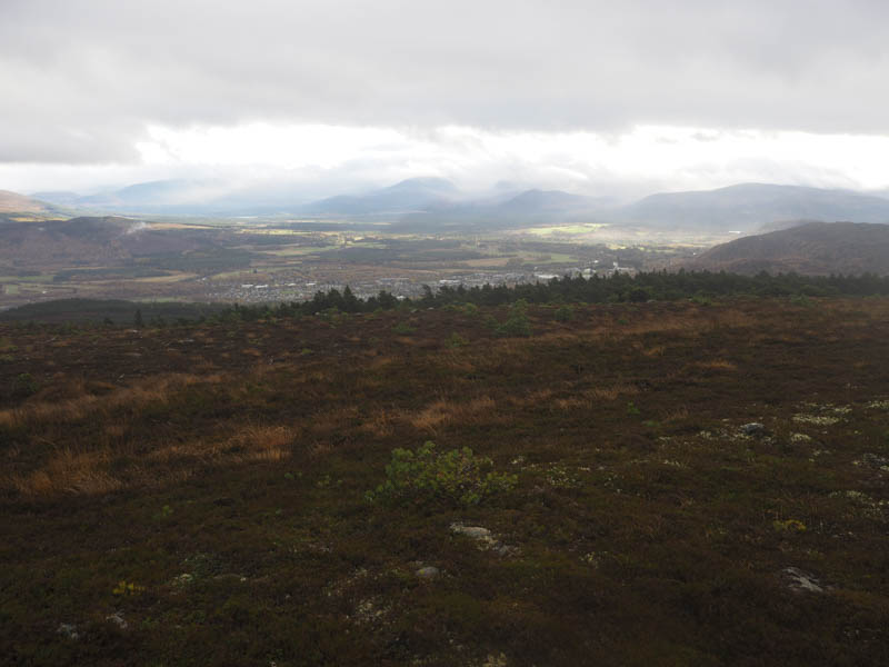
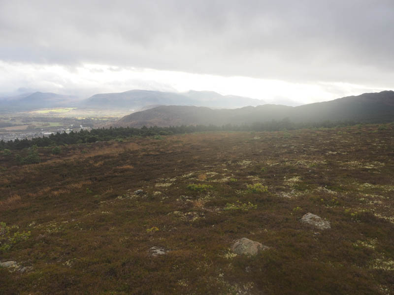
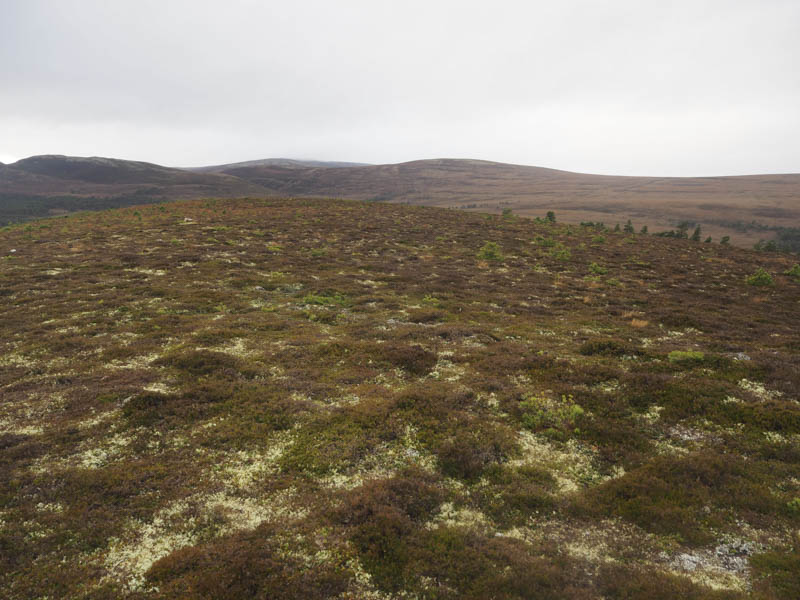
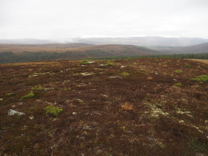
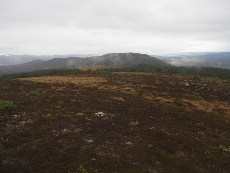
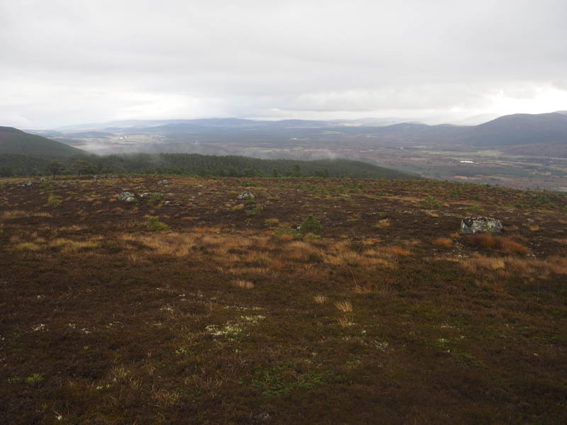
Due to the cloud the views weren’t great so after a break I descended south-west, on short cropped heather with a few stunted trees, to a wide gap in the mature firs. I headed down this gap but it was tough going with long rough vegetation so at times I descended through the trees where the vegetation was shorter. Eventually I reached the muddy track beside the Milton Burn and followed it south-east. There were a few trees blocking the route and at one point I was forced to make a short diversion through wet ground and reeds. The track led to Patterson Place, within the new housing complex west of the A9, then a short walk along a couple of streets to my car.
- Time taken – 2.5 hours.
- Distance – 7.25 kilometres.
- Height climbed 355 metres.