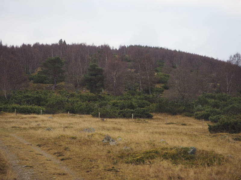
I parked at the side of the minor road west of the A9 underpass, accessed from the B9153 in Carrbridge. I walked round a locked barrier then along a vehicle track through an area which appeared to have been used for storage but was now empty. Beyond, I joined a vehicle track through the forest, the firs having been thinned, but it was rather noisy from vehicles using the A9. This took me to a set of gates, one of which was for those on foot or cycles, and into an area of birch trees and juniper bushes.
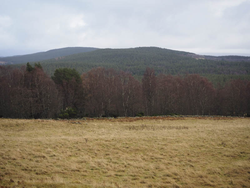
Another set of gates was reached and this led back into the firs. At a third gate the track emerged from the forest, initially running along its edge before heading towards the farm buildings at Lethendryveole.
I stayed close to the forest, crossing a couple of fences to reach the electricity transmission line and its pylons. On crossing another fence I followed the line of these pylons north-west through some rough ground to the highpoint in the clearing where a path crossed the hillside.
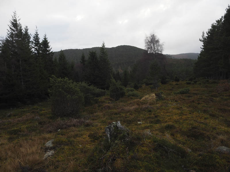
I walked north-east along this path and back into the trees soon leaving the path and making the short walk to the summit of Carn Lethendry. The highest point of this Tump was supposed to be beside a fallen tree but there were numerous making it impossible to figure out the highest point despite wandering through a few of them.
The return was by the outward route.
- Time taken 2 hours.
- Distance – 6.5 kilometres.
- Height climbed – 200 metres.