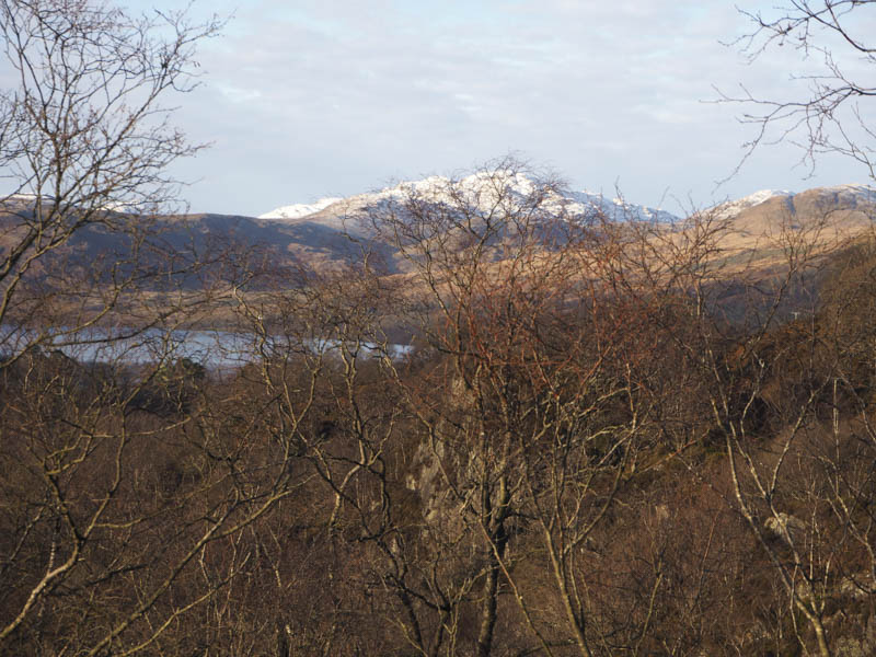
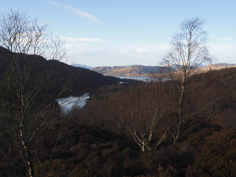
The first hill today was the Hump, Craig Leven, located to the south-east of Loch Katrine in the Trossachs. From the map it appeared to be quite an awkward hill to ascend and this turned out to be true in fact all four hills made for a tough walk.
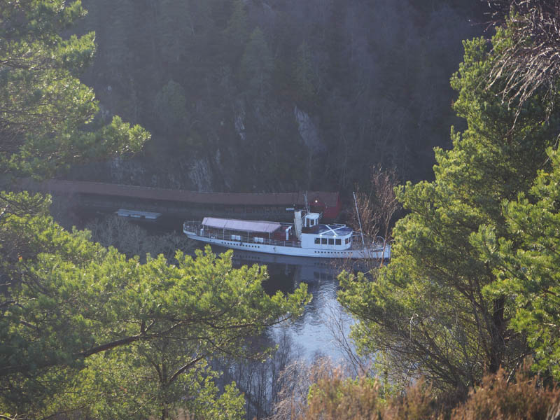
I left my vehicle on the verge of the road leading to the car park at Loch Katrine to avoid the parking charge there. I walked south-west along the access road to Loch Katrine dam before leaving it and climbing through dead bracken, heather, larch trees and around rocks to reach the summit of Craig Leven.
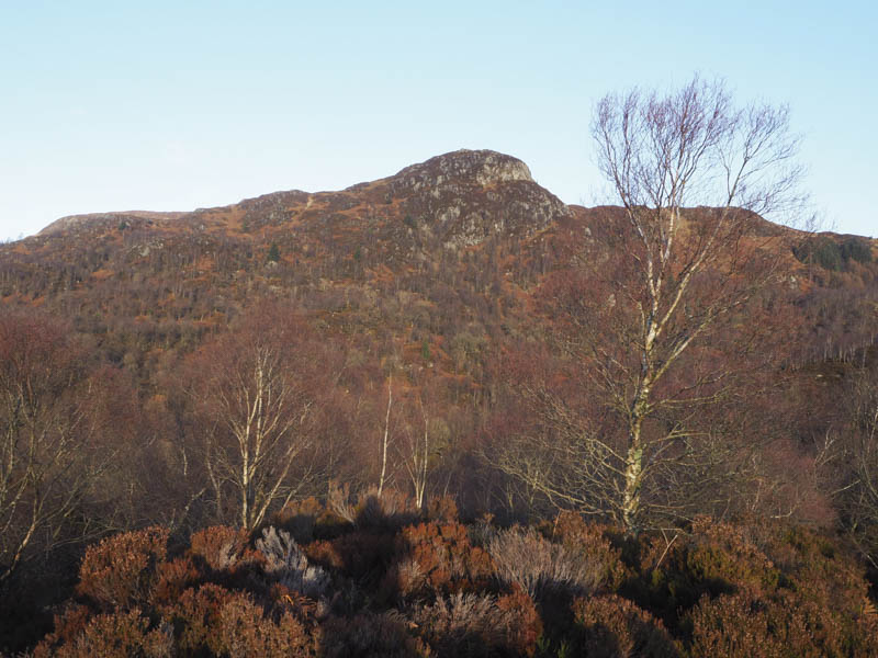
It was then a steep descent through rough vegetation, wet ground and some birch trees to reach and cross the Loch Katrine car park. From there I climbed through more rough vegetation then went over an old fence to gain the summit of the Tump, Craig na Cailliche.
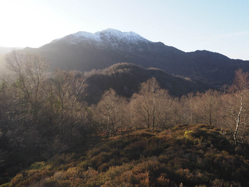
I descended north-east then south-east to gain the col with Sgiath nan Mucan Dubha before climbing through more rough vegetation and long heather to reach the summit of this Tump.
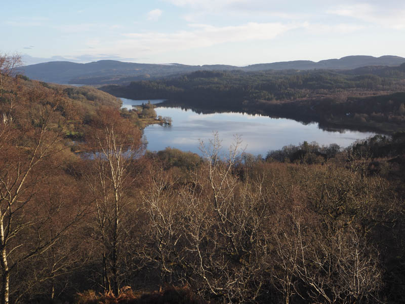
The descent east continued through more rough vegetation and heather but with the addition of a few fallen trees before ascending Dun Achray. From this Tump I descended south-east following a stream to reach the access road leading to the car park.
- Total time – 2.25 hours.
- Total distance – 2.75 kilometres.
- Total height climbed – 260 metres.