The plan was to climb the Corbett, An Caisteal on Ben Loyal, but it was too windy and the hill was in cloud so instead I decided to ascend the Sub 2K Marilyn, Ben Hutig, located to the north-west of the village of Tongue.
I drove along the coastal route to the west of Tongue Bay through various hamlets to reach West Strathan. Parking was a bit restrictive here on this narrow single track road but I managed to reverse my car between some gorse bushes just north of my planned starting point, a vehicle track heading south-west (NC562637) which apparently led to the peat bogs of A’ Mhoine.
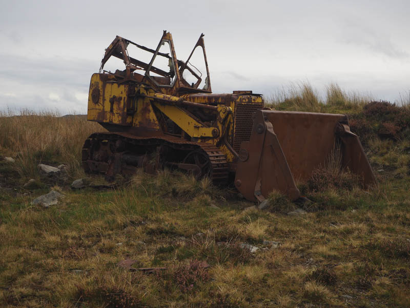
Beyond a gate in the stock fence it was obvious that cattle roamed here but I never came across any. Around 500 metres further on I reached a junction of tracks and took a left turn heading along this rather rough and in places flooded track in a north-westerly direction. An old digger at the edge of the track had been abandoned and left to rust.
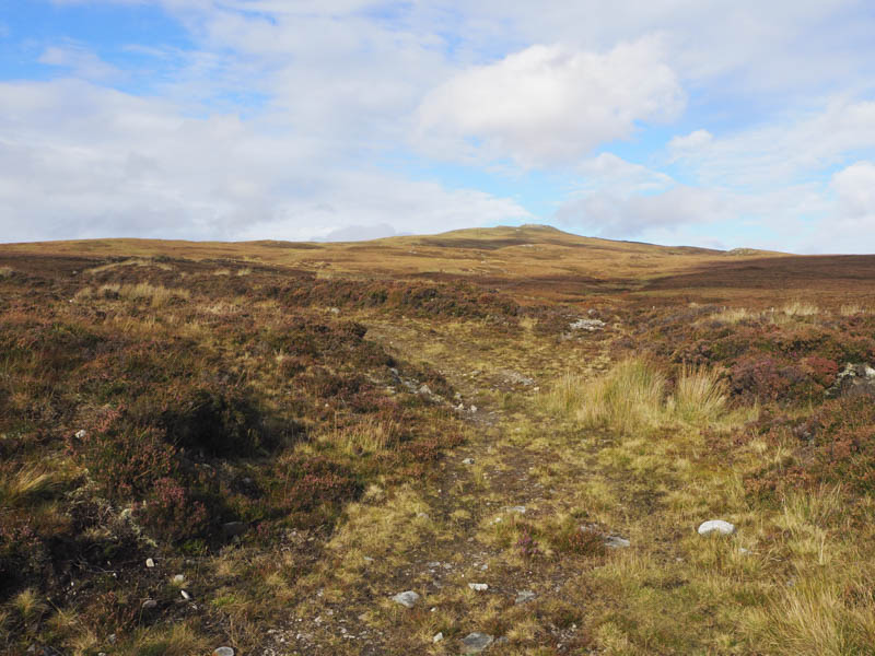
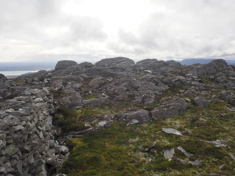
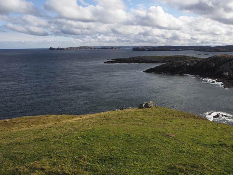
The track came to an end amongst some wet and peaty ground. Initially I followed some ATV tracks but the ground was a bit waterlogged so I left these tracks and climbed through rough vegetation. Higher up the walking became easier then a few knolls were passed before I reached the trig point within a sheltered cairn although the actual summit was a rib of rock a bit to the SSE. There were several stone dykes around part of the Colby Camp used by Ordnance Survey.
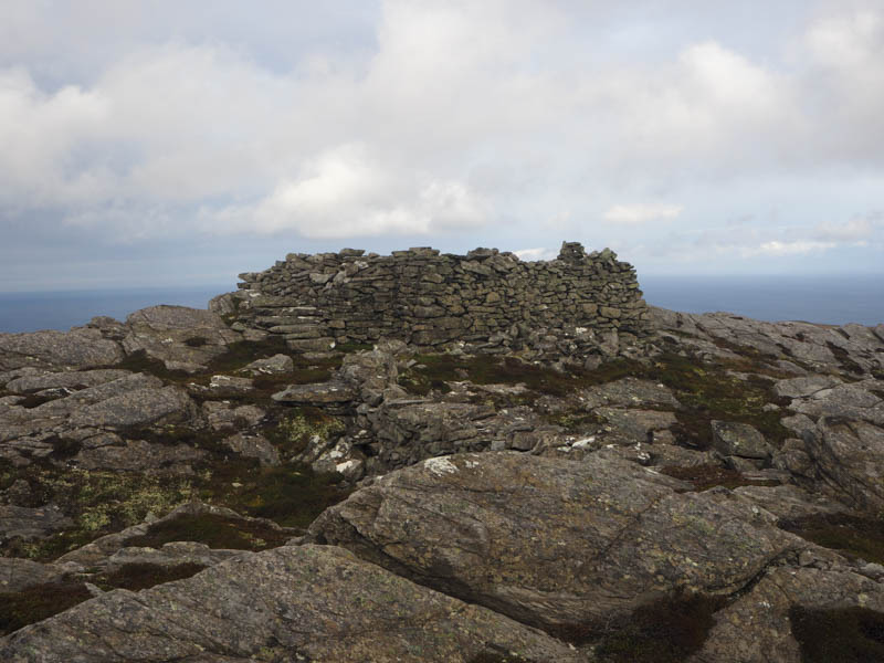
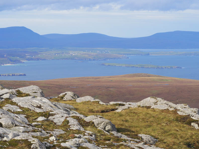
It was windy here but with plenty of shelter I was able to take in the views and some photos. I then headed down the south ridge before crossing boggy ground to rejoin the vehicle tracks and return to the start.
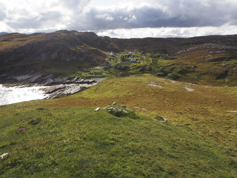
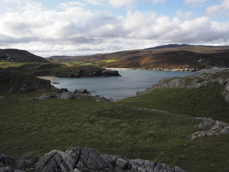
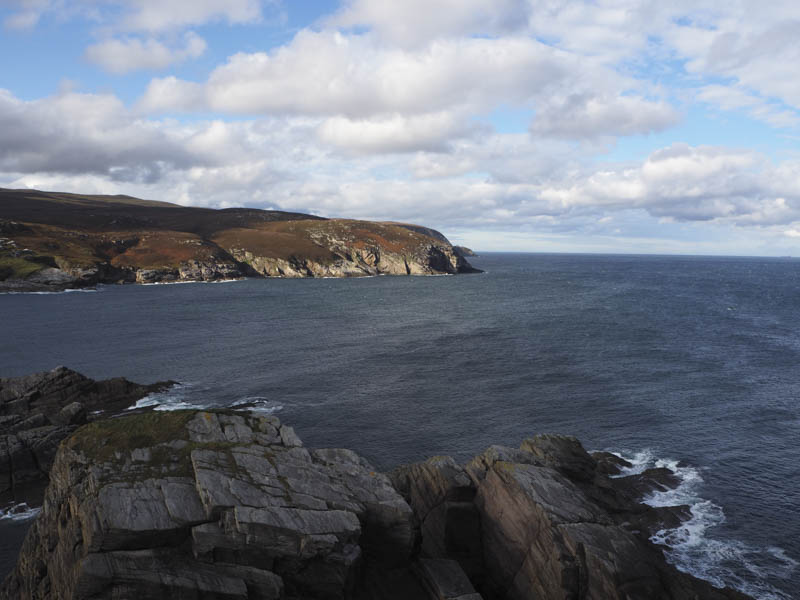
I then drove to the nearby coastal hamlet of Portvasgo and from the road end climbed the Tump, Meall Mor where there were good views along the north coast.
I then descended to the col with Stac Mor and ascended this Tump, visiting both tops. The north-westerly one appeared highest.
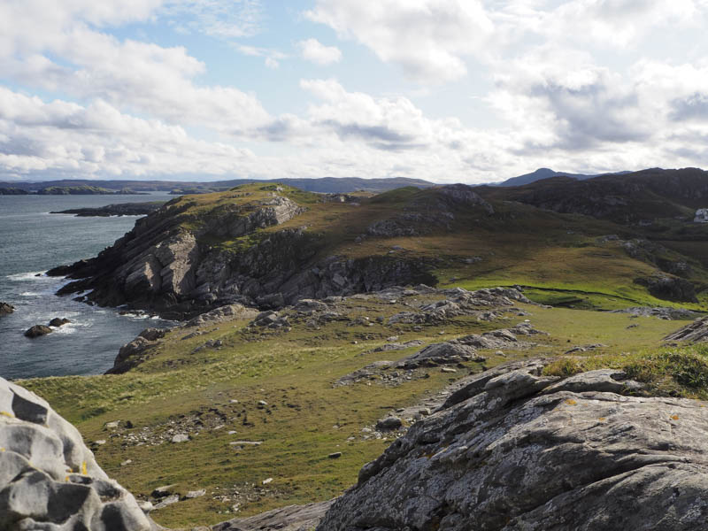
The return route took me back to the col and along the track below Meall Mor.
- Total time – 3.5 hours.
- Total distance – 8.25 kilometres.
- Total height climbed – 450 metres.