I parked on an area of rough pasture on the west side of the A836 Alnaharra to Tongue Road just south of Loch Loyal Lodge, which was under renovation. I walked west across the rough grass then through some dead bracken to reach the north bank of the Allt Liath. I then followed this stream through the rough vegetation and across some waterlogged ground towards Coir’ an Eich. Prior to reaching this point I crossed the Allt Liath and ascended Meall Eudainn where a small cairn marked the summit of this Tump.
From there I descended west trying to avoid the peat hags then headed up a small grassy gorge between a couple of knolls to gain the south-west ridge of Cnoc nan Cuilean.
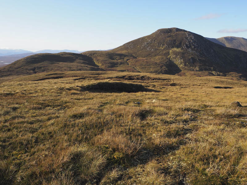
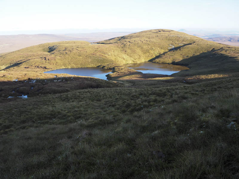
It was then a fairly steady climb to reach the summit cairn of this Marilyn.
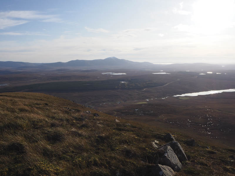
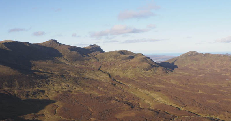
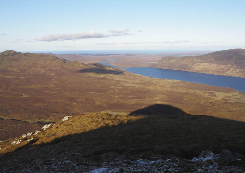
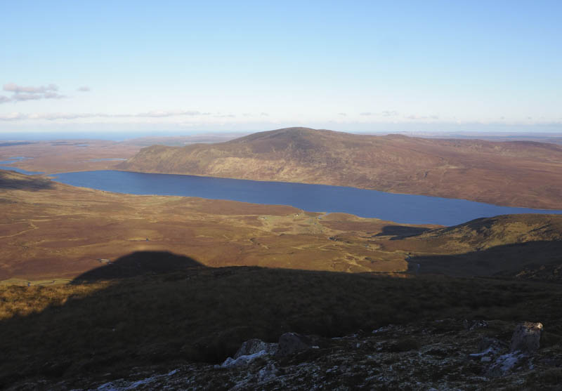
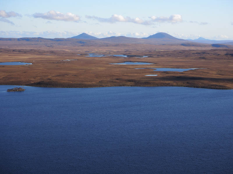
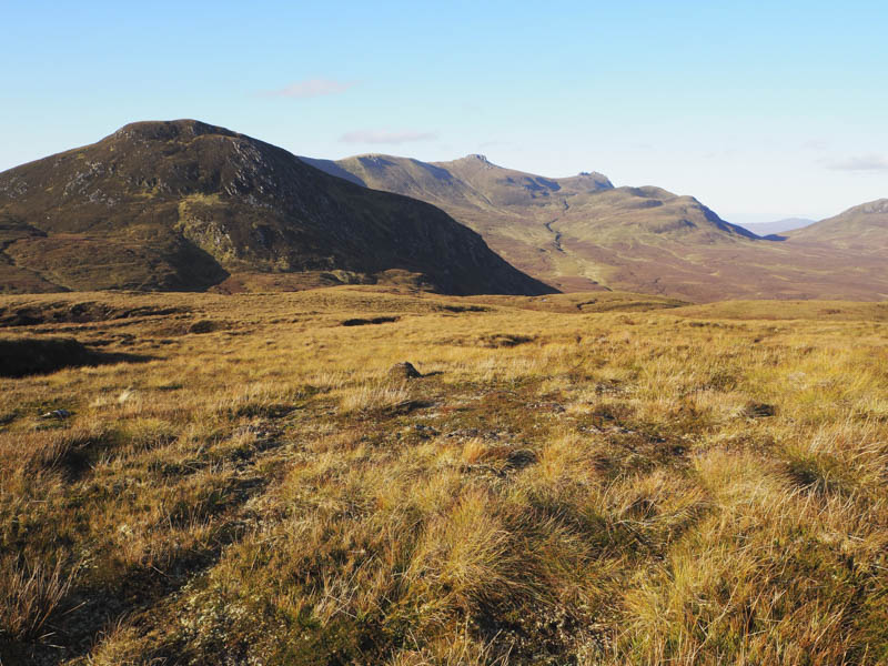
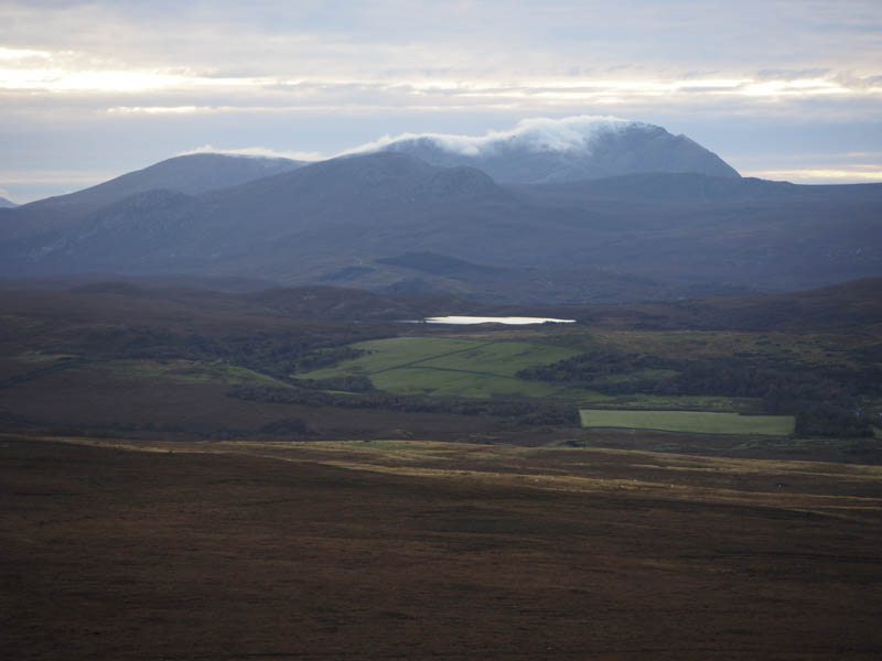
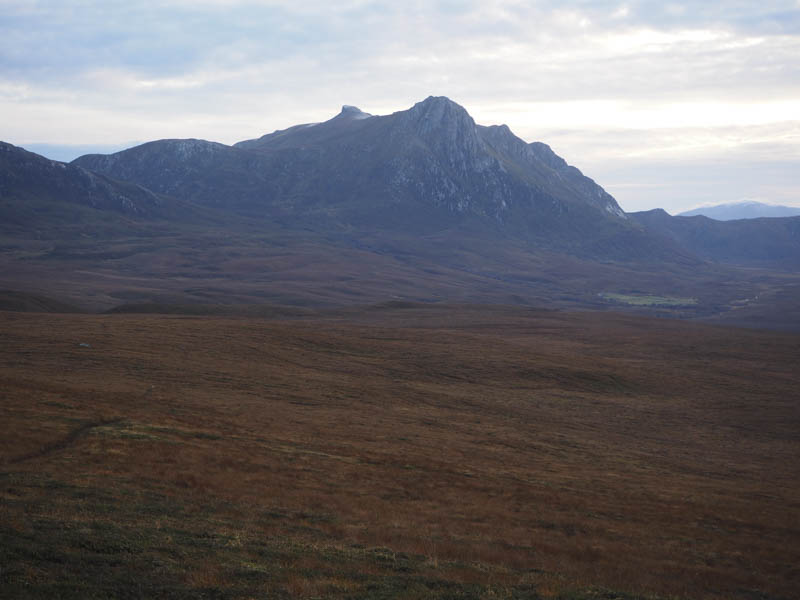
After a late lunch while taking in the views of Ben Loyal I returned down the south-west ridge then turned east aiming for the gap between the twin lochans of Lochan nan Cuilean.
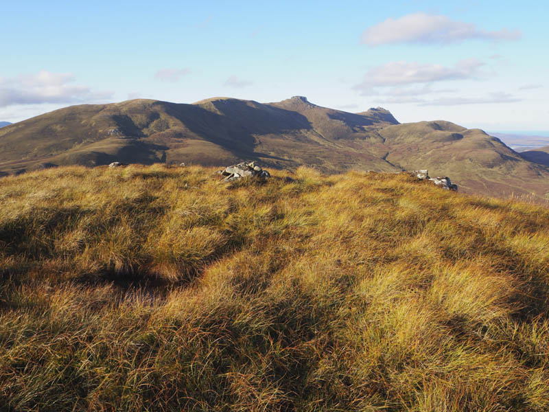
There was then a short climb onto Creag nan Cat where I followed some ATV tracks before making a more direct return to my car through a mixture of rough and in places wet vegetation.
I then drove further north on the A836 and parked at the entrance to the landfill site, crossed the road, went through a fence topped with barbed wire, and ascended the Tump, Sithean nan Gearrsaich. The highest point appeared to be close to a stock fence. The return was by the upward route.
Afterwards I headed for the A838 north of Tongue then drove up the tarred road to its end. Here the now rough vehicle track passed through croft ground where it was pertinent to first established that the guard dogs were secure in the house. The vehicle track continued through another stock gate and onto to the open hillside.
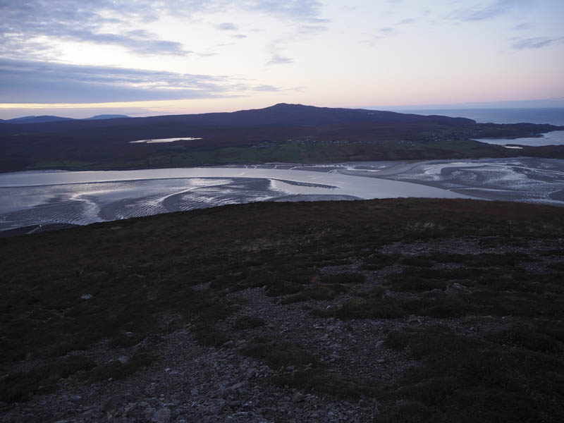
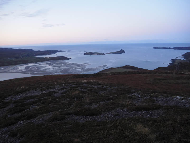
My plan was to follow the track to the summit but with daylight fading I left the track and climbed through grass and heather to rejoin the track just east of the communications tower. The cairn marking the summit of the Tump, Ben Tongue, was immediately west of this construction.
I then descended south-west fairly easily across grass and heather to rejoin the vehicle track nearer the stock gate before following the track back to the start.
- Total time – 3.75 hours.
- Total distance – 9.25 kilometres.
- Total height climbed – 700 metres.