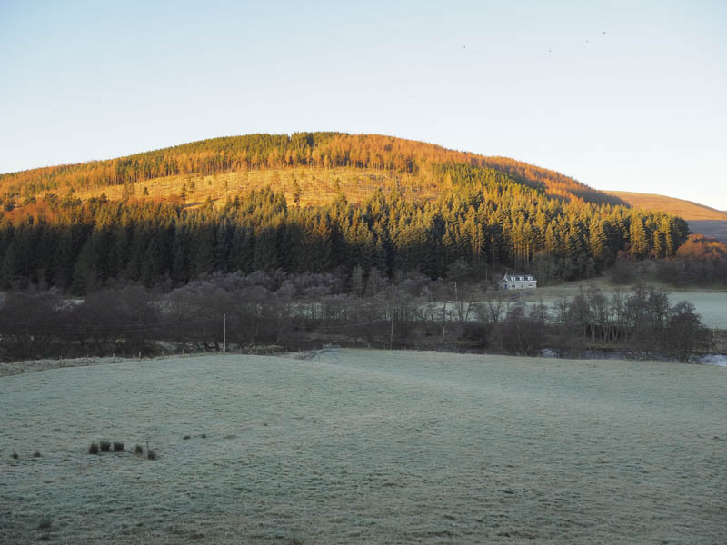
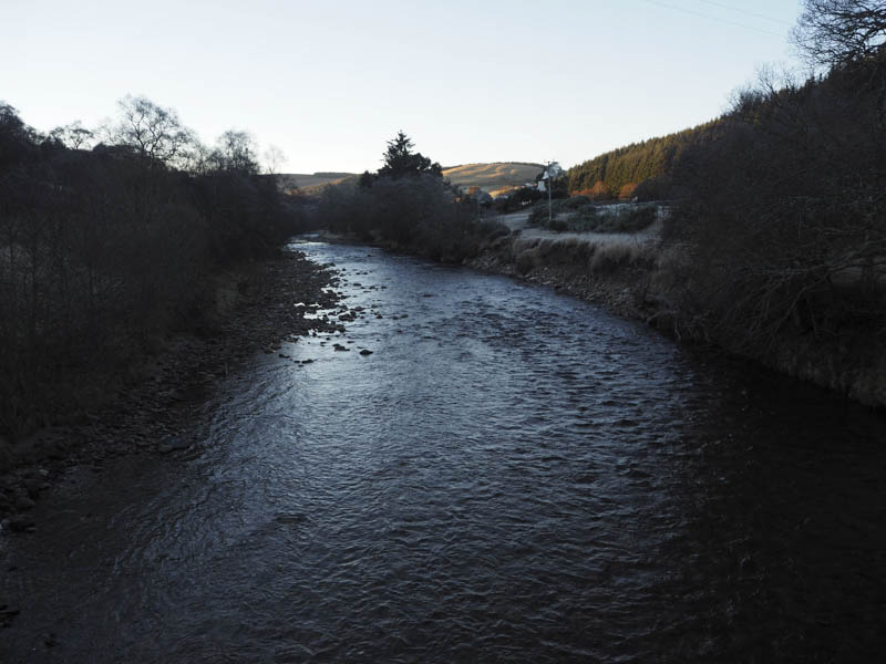
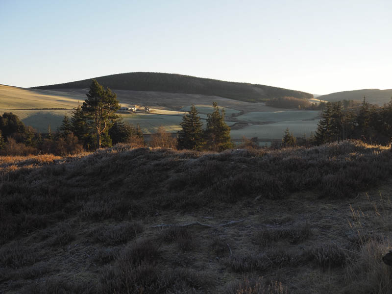
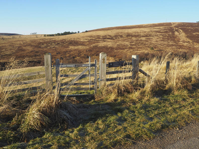
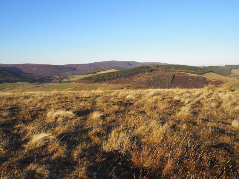
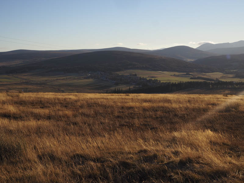
Cnoc Fergan – This Hump was located north-west of Tomintoul. I parked at the side of the B9136 Tomintoul to Glenlivit Road, west of Achlichnie Farm in Strath Avon, crossed the road then a stile before descending to the River Avon.
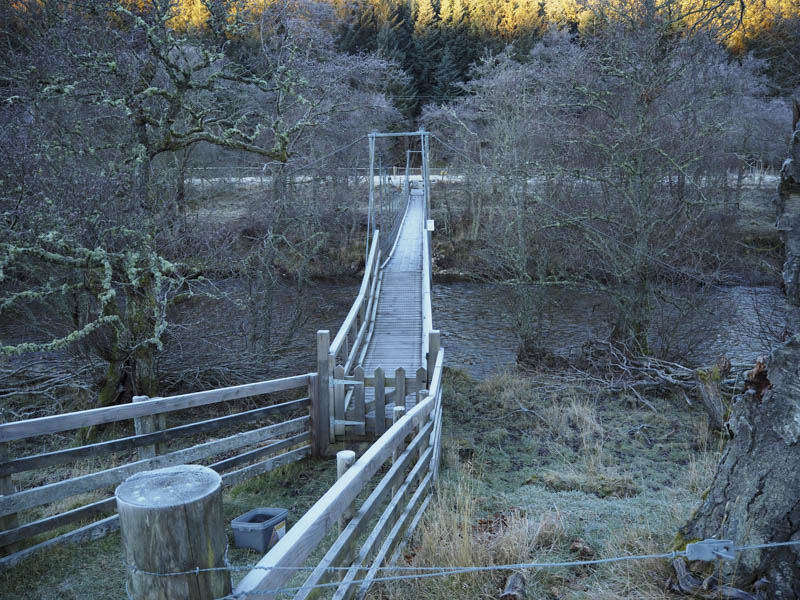
I walked briefly south along its east bank passing through an open gate to reach a swing footbridge.
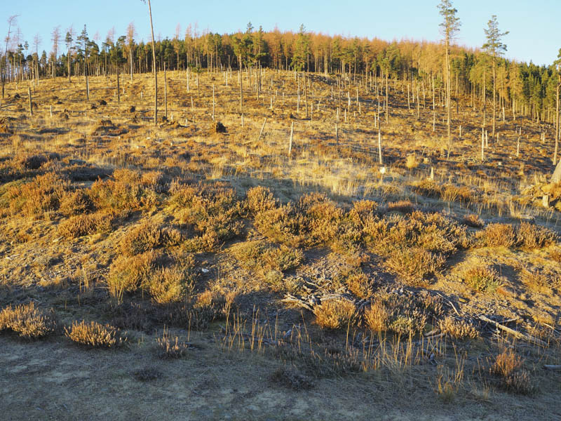
Once on the other side of this gated bridge I headed north for a short distance before crossing a couple of fences then pushing my way through some tall pines to reach an area of forest that had been harvested. Brash and a forest track were crossed as I climbed towards mature trees.
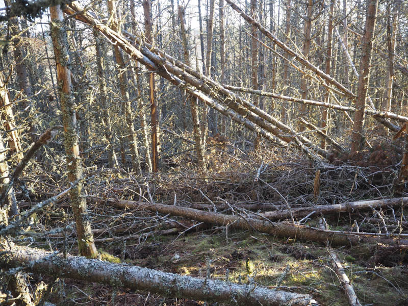
On reaching them I discovered lots of windblown timber making for difficult and awkward progress.
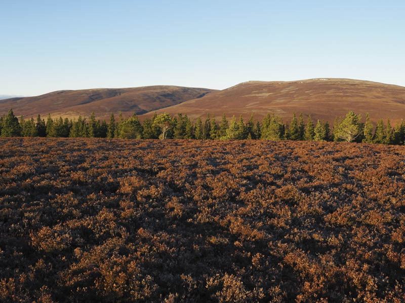
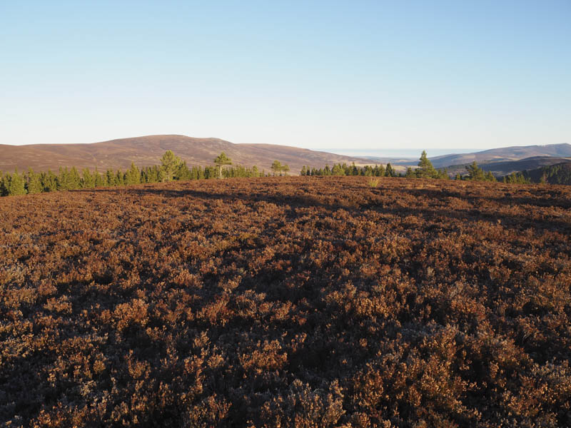
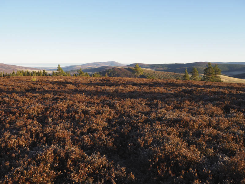
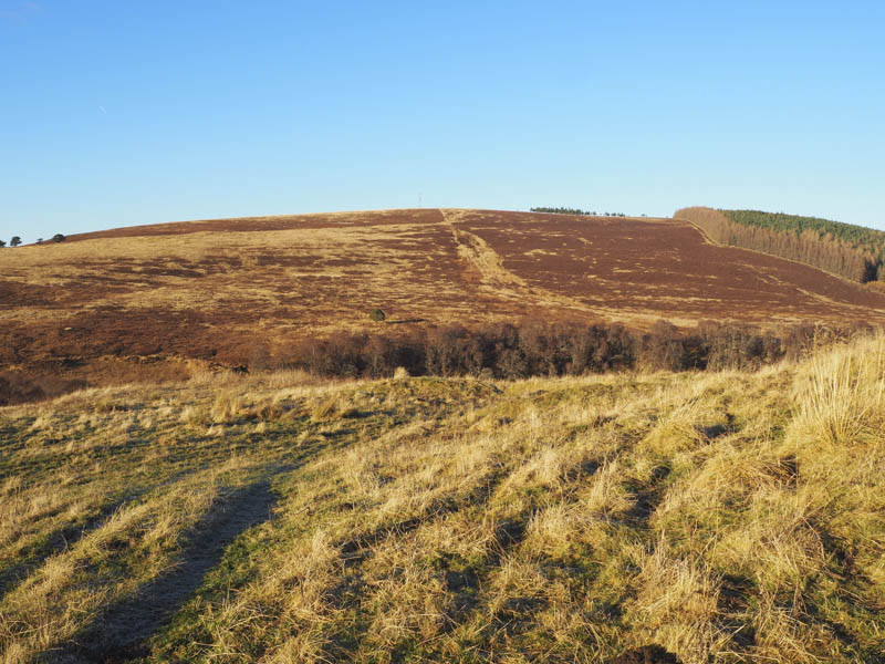
Once through this area I was into a gap in the trees with some long heather then the open hillside. The highest point of Cnoc Fergan wasn’t obvious amongst the long heather so I wandered about a bit before descending slightly to the south of the upward route.
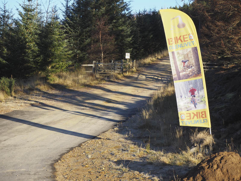
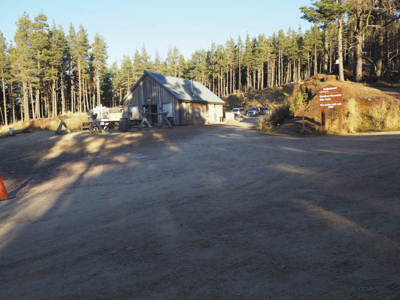
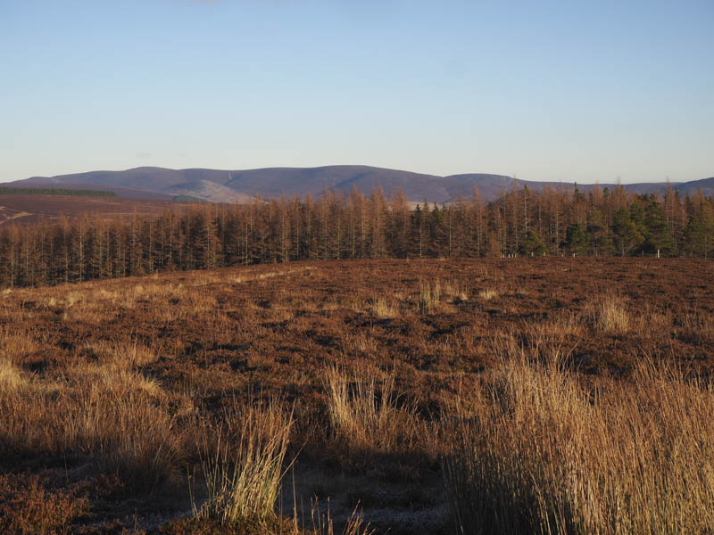
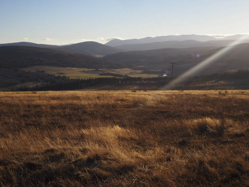
Carn Meilich – This Hump was located north of Tomintoul. I parked in the quarry to the south-west of Carn Meilich, just off the minor road east of Tomachlaggan Farm and accessed from the B9136 Tomintoul to Glenlivit Road, a short distance from my parking area for Cnoc Fergan. This was the overflow car park for the Glenlivet Bike Trails, the main car park beside the cafe required payment.
I walked back up the track keeping to the right at the junction then onto and passed the cafe and car park where there was a locked gate to prevent vehicular access.
I continued along this track until near its highest point where I left it and walked through the trees where there was some windblown timber to cross. I reached a point which appeared to be the summit, marked by a single stone on top of a boulder. I also visited ground to the north-east which may have been as high. There were obvious no views as I was within the forest so I returned by the ascent route.
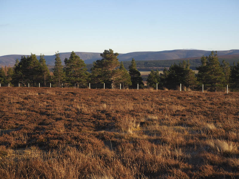
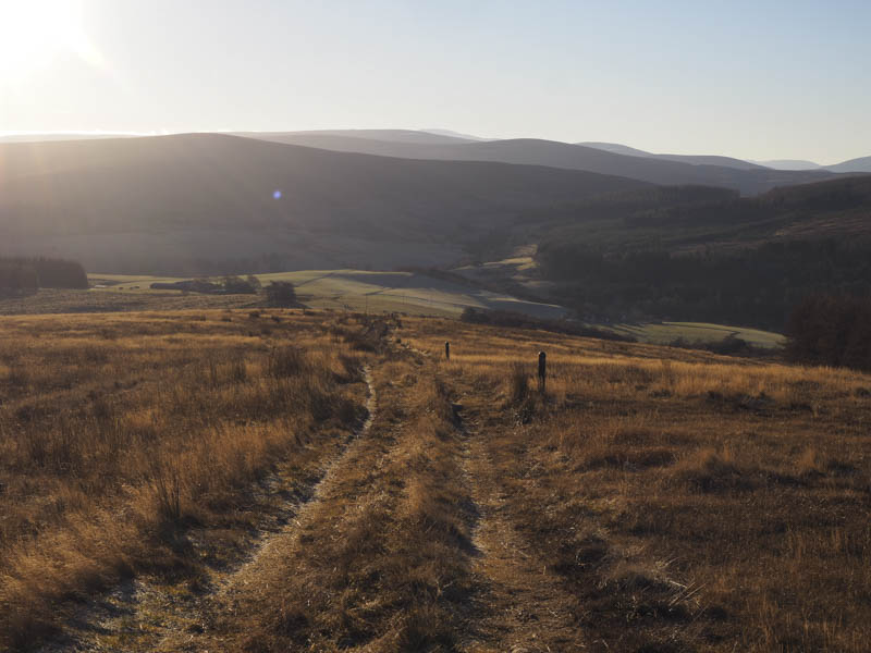
Cnoc Lochy – This Hump was located north of Tomintoul. I left my car on the verge north of the house The Old Kennels on the minor Tomintoul to Croughly Road and crossed a stile before descending to the footbridge over the Conglass Water, part of the Speyside Way.
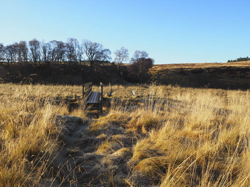
A short distance beyond this bridge I left this trail, crossed a fence, and commenced the ascent of Cnoc Lochy.
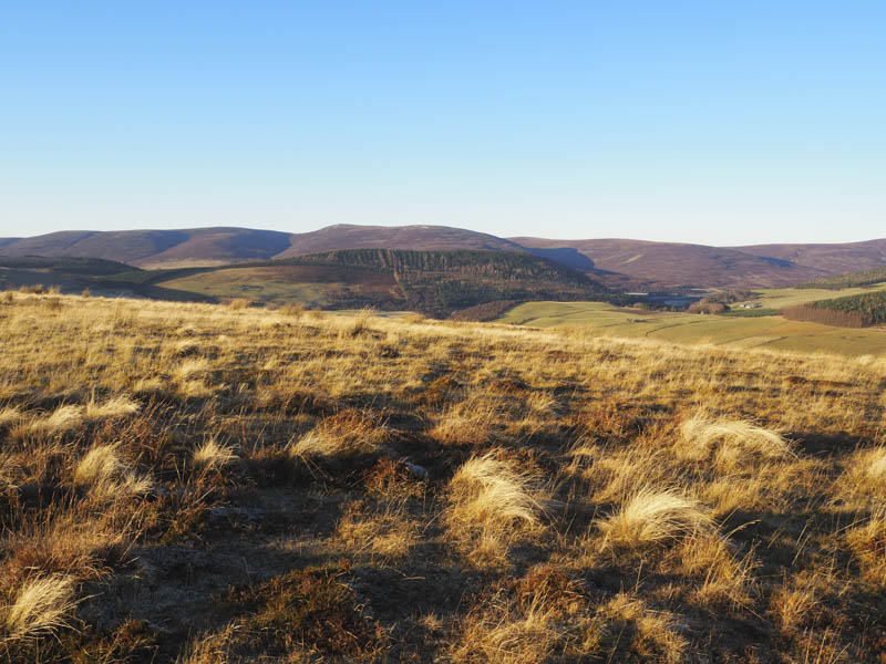
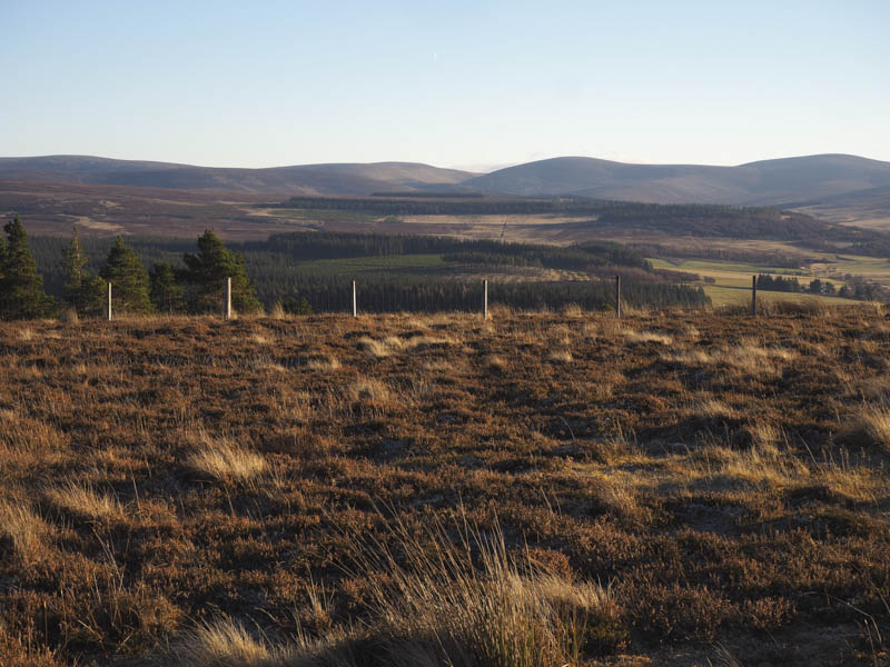
Underfoot conditions were a bit rough but beyond another fence the ground cover consisted initially of heather then long grass. This took me to a vehicle track just south of the telecommunications tower. On its north side there was another fence which I crossed via a stile then I was on fairly level ground where the highest point was apparently located. I wandered around but was unable to say for certainty where the summit was. I then returned by the upward route.
- Total time – 4.25 hours.
- Total distance – 9.25 kilometres.
- Total height climbed – 550 metres.