Tom an Uird – From the A95 Grantown on Spey to Aberlour Road at Cromdale I drove along the minor road to the south-east, part of the Speyside Way, and parked at the start of the vehicle track west of Wester Rynaballoch. (grid ref. NJ102285)
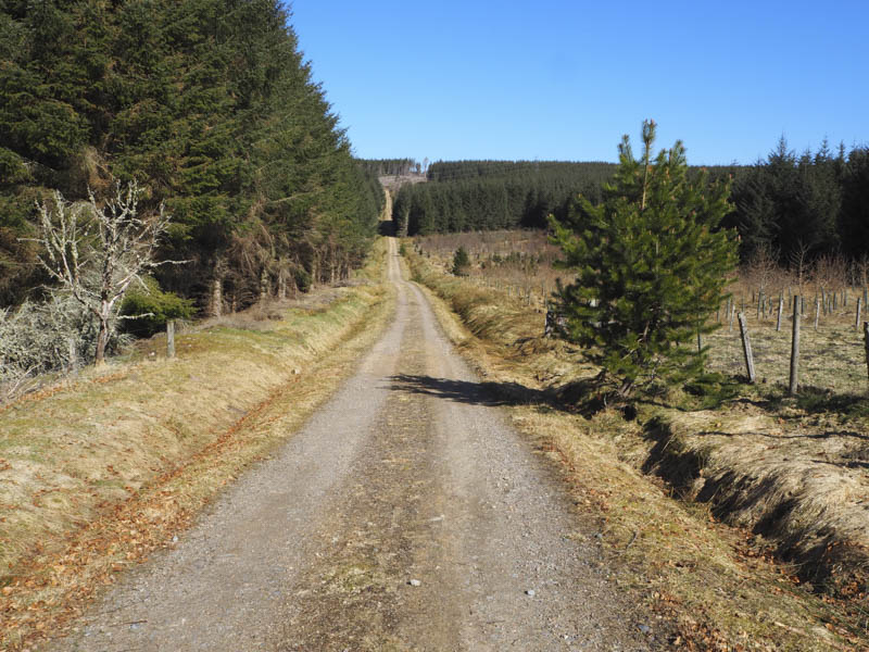
I walked north, initially on a slight decline, as the track headed up through the forest to just beyond a house. Straight ahead the trees had been felled so I followed the track briefly west, crossed a stock fence and entered the mature trees which had been thinned out. An open area of heathery ground was reached as was the large summit cairn. The highest point of this Hump was a small mound thirty metres east of the cairn.
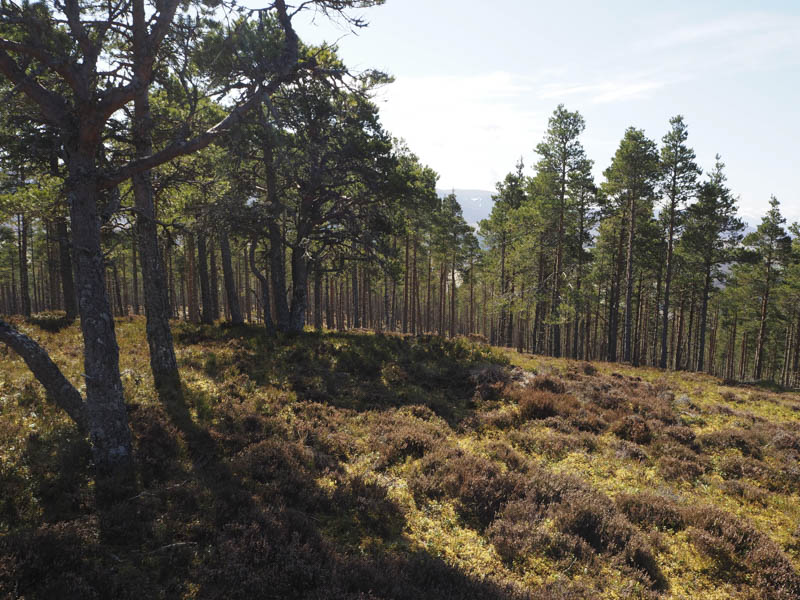
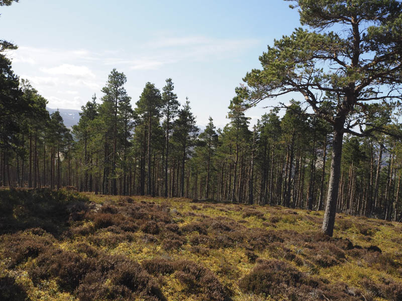
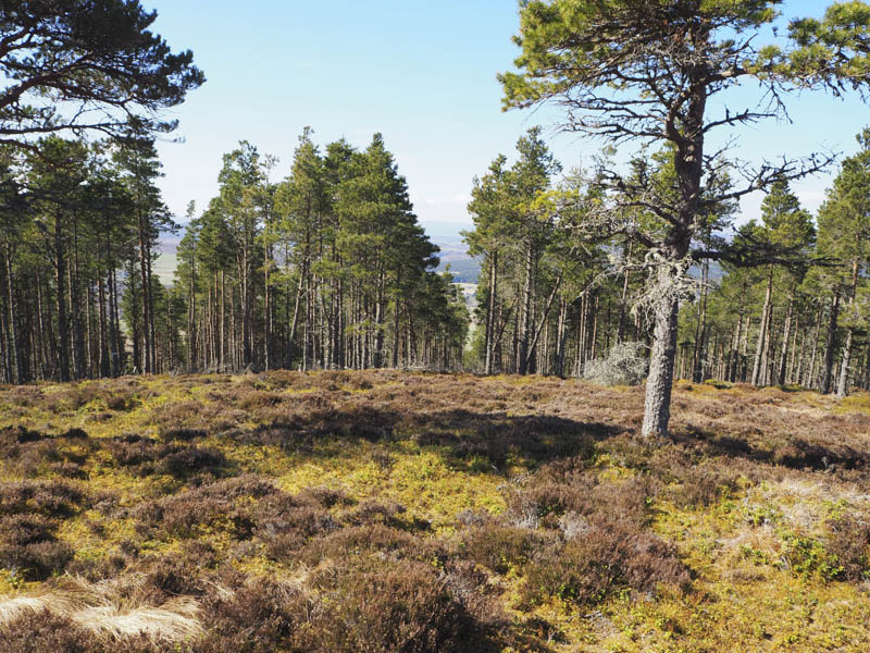
I sat at the cairn for a while enjoying the sunny weather although the views were very limited due to the height of the nearby trees. The return was by the upward route.
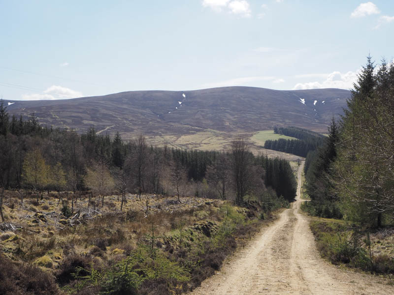
Knock Frink – After Tom an Uird I returned to the A95 and drove a short distance north-east parking on the verge beside the access road to Duiar. (grid ref. NJ119335) I walked up this road passed the cottage which was unoccupied. At a junction I left the track and continued south-west through woodland where the trees were well spaced.
Higher up I crossed a vehicle track, part of the Speyside Way, went through an area of young closely growing birch trees, then more open woodland to reach a deer fence. Once over it I found a reasonable route through the mature fir trees and onto the open hillside. Long thick heather was waded through to reach the summit of this Tump which appeared to be the highest clump of heather.
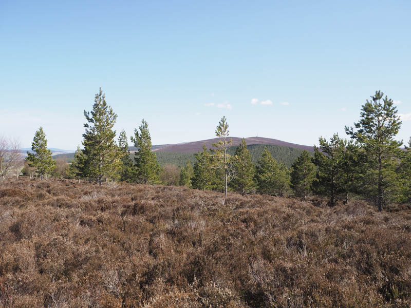
The return was by the approach route.
- Time taken – 3.5 hours.
- Distance 6.25 kilometres.
- Height climbed – 365 metres.