I headed to Glen Urquart on the A831 Drumnadrochit to Cannich Road and investigated parking on the minor single track road leading to Uppertown but there wasn’t anywhere suitable. I then returned towards the main road and parked on the east verge just north of the A831. I walked steeply north-east up the minor tarred road for around 500 metres then west and north along a vehicle track to a crossroads junction. To the east led to the property at Balnalick and to the west the buildings at Corrish. I continued north to a stock gate then followed a vehicle track west to join the estate track from Corrish thus bypassing this property.
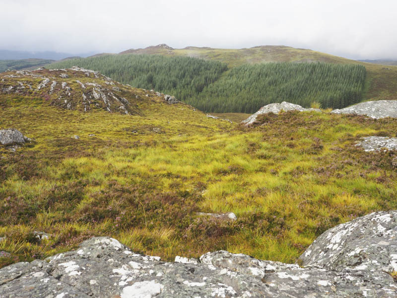
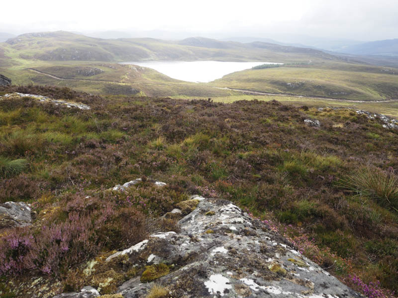
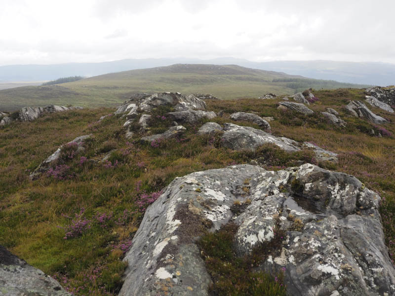
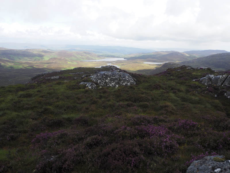
The track gained height as I walked north through some open stock gates while others were closed. There were quite a lot of sheep around but I don’t own a dog so this wasn’t a problem. Near the highpoint on the track and opposite the outflow from Lochan an Tairt, the rain was easing, I left the track and climbed through heather and grass, also used some animal trails, to gain the summit of the Tump, Carn Mor South Top, marked by a cairn. I also visited another highpoint to the south-west but concluded the north top was higher. Low cloud was floating around so views were limited.
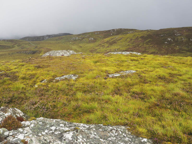
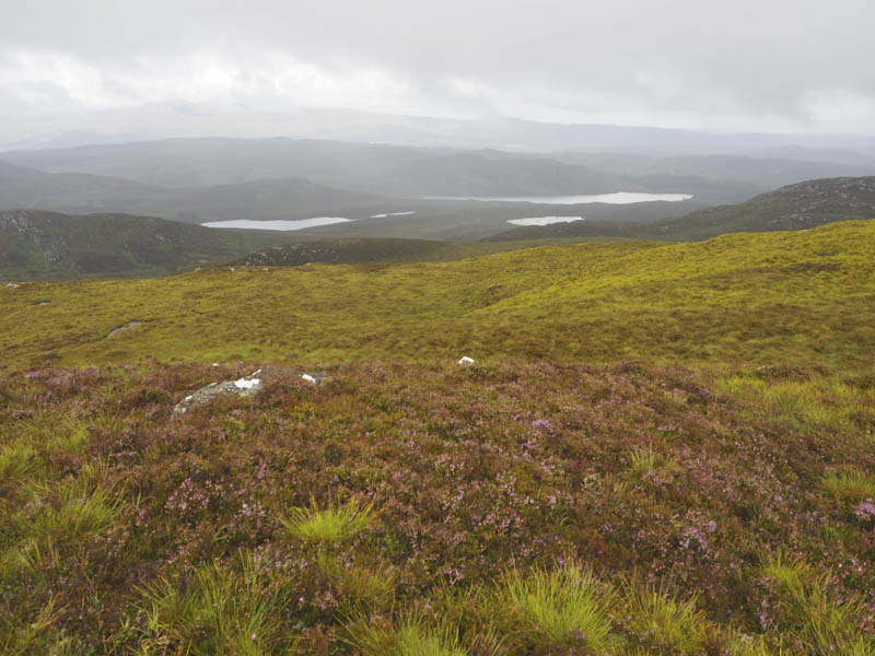
I descended north, crossed some wet ground, and again using a few animal trails ascended into the low cloud and onto the summit of Carn Mor. The highest point of this Tump was an outcrop south of the trig point. I took a break here to see if the cloud would lift, it did but only briefly.
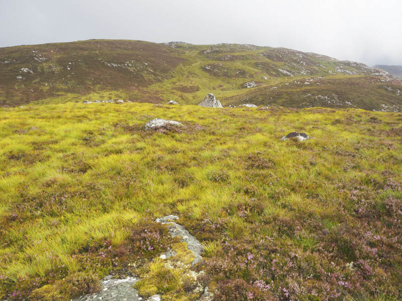
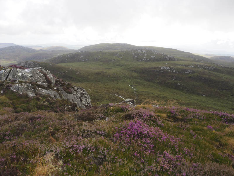
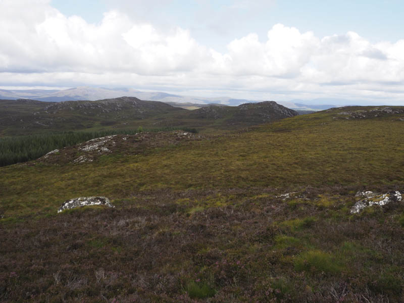
The descent took me south-west through rough ground then I climbed Creag nan Calman, avoiding the crags. The summit of this Tump was marked by a large boulder.
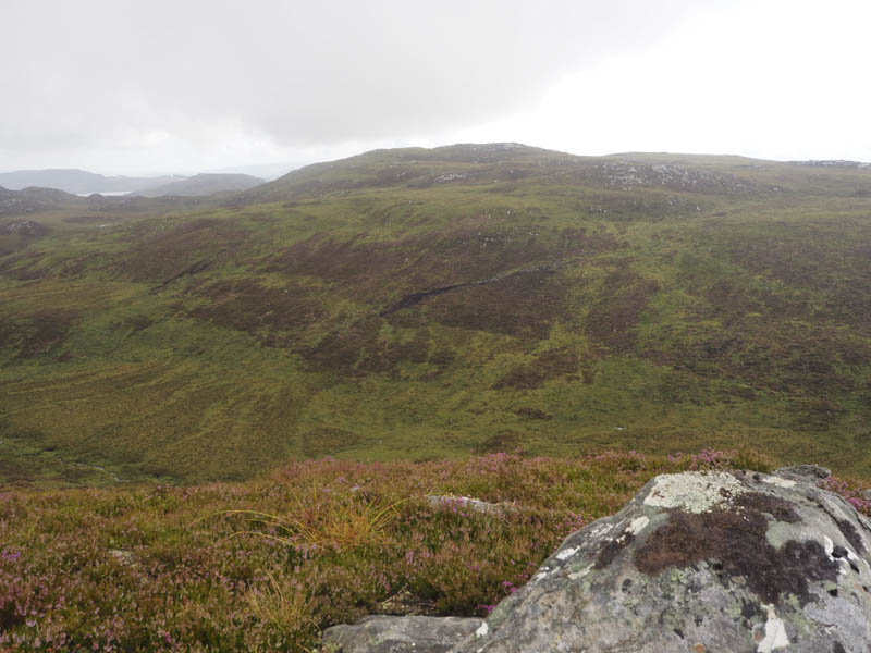
It was then a short descent west before climbing to the summit of the Tump, Carn an t-Slamain, marked by a cairn.
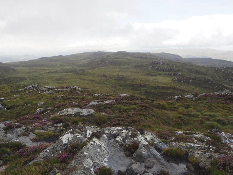
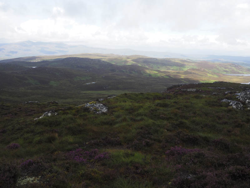
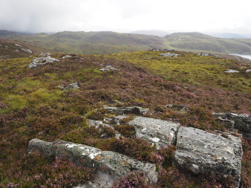
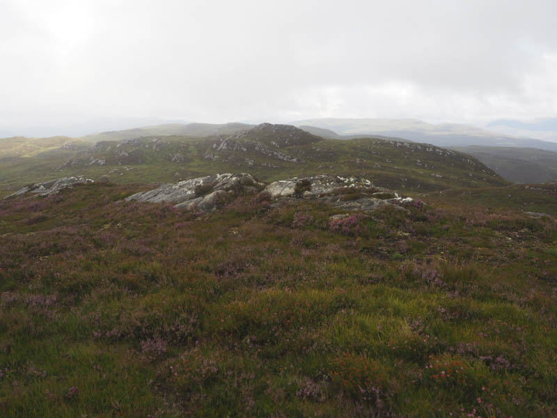
The final hill for the day was to the south-east so I descended in that direction, below Creag nan Calman, to reach a deer fence. There was a stile here but the wood was a bit rotten and nearby fence posts unstable. I eventually found a more secure post and once across the fence climbed onto the rocky summit of the Tump, Creag Muigeil. I also visited a knoll further west which may have been higher.
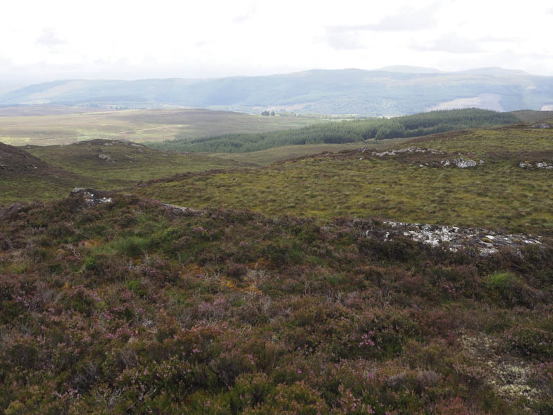

The descent north-east took me to a firebreak which I spotted earlier in the day (NH431336) and this led to the deer fence which was easier to cross at this point. I then followed deer tracks and crossed some rough vegetation to reach the estate track used that morning about 300 metres south of the point I left it. The track was then followed back to the start.
- Time taken – 5.5 hours.
- Distance – 15 kilometres.
- Height climbed 560 metres.