I parked at the side of the single track B887 Tarbert to Huisinis Road, just west of the estate road leading up Gleann Chliostair. We walked along this estate road to just south of the bridge over the Abhainn Leosaid and here left the road crossing some wet and boggy ground, the path shown on the map being nonexistent here.
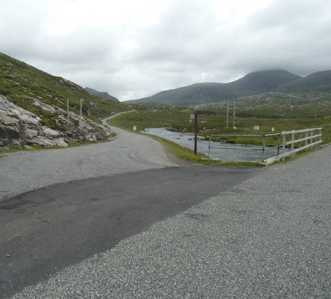
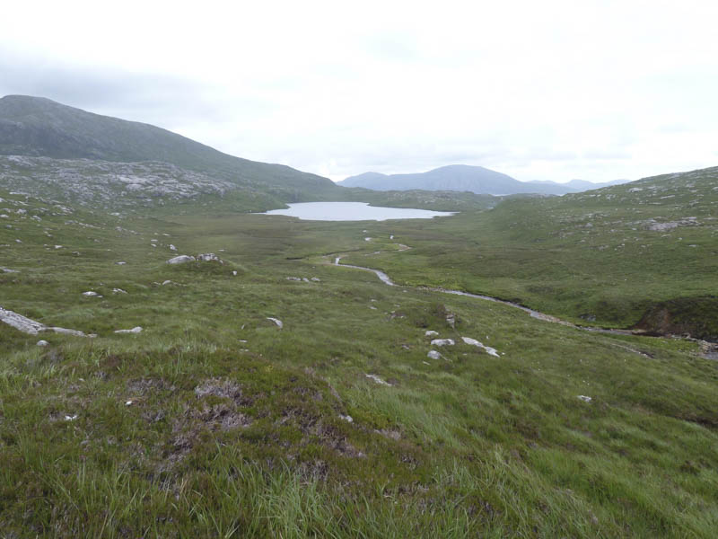
We later crossed the Abhainn Leosaid and here a section of the path still existed although we only used it briefly before commencing the ascent of the south ridge of Tiorga Mor.
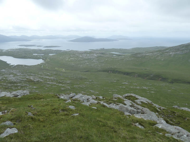
High up we entered the cloud base and here several golden plovers were making their usual warning calls. We also spotted an eagle but it was soon engulfed in the cloud.
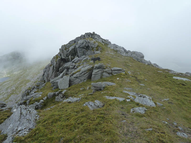
The rocky summit and trig point of the Graham, Tiorga Mor, was reached but with no views we briefly continued north then descended north-east to the col with Tiorga Beag before climbing this Tump.
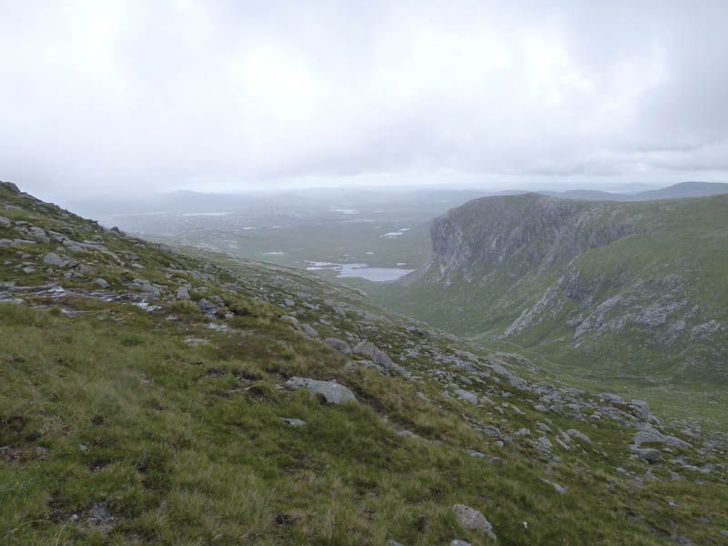
This was followed by a descent east to reach the head of Loch Aiseabhat.
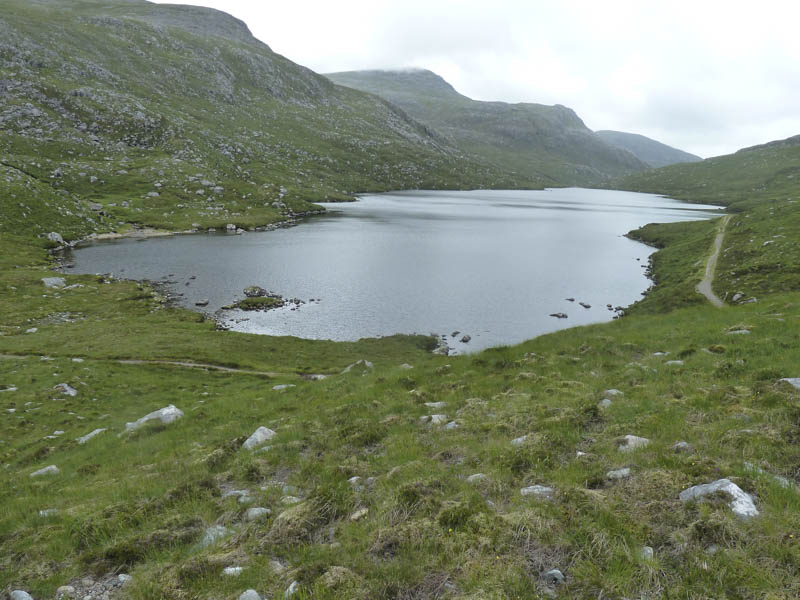
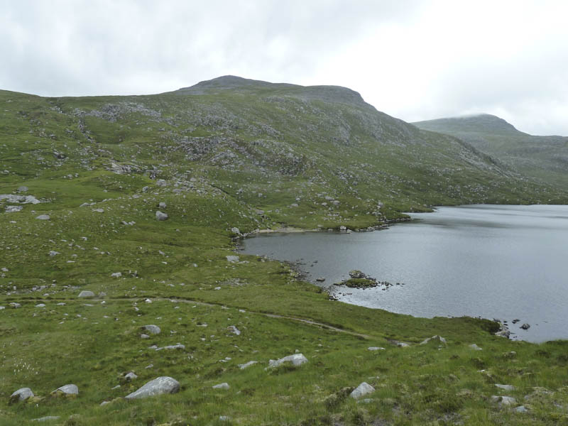
It was then a steady ascent of the Graham Top, Ulabhal, although my walking companions avoided the summit area.
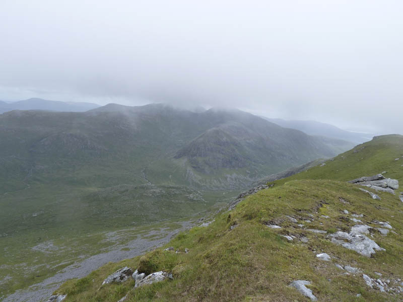
We then headed for Oirebhal, passing to the west of Cathadail an Ear, but on reaching the summit of this Graham there were no views due to low cloud.
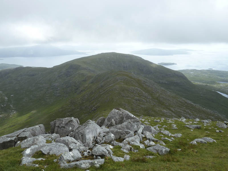
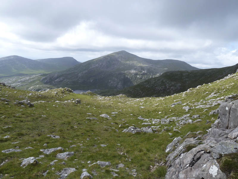
The route off was to the col with Bidigidh and from there we descended west through some rocky ground to reach Gleann Chliostair just south of the dam at Loch Chliostair. The estate road was then followed back to the start.
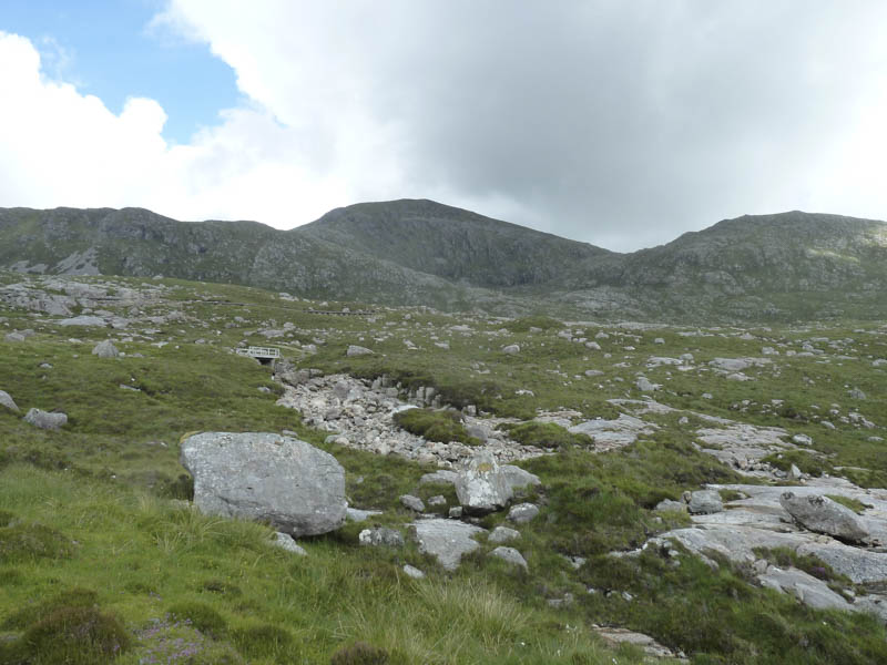
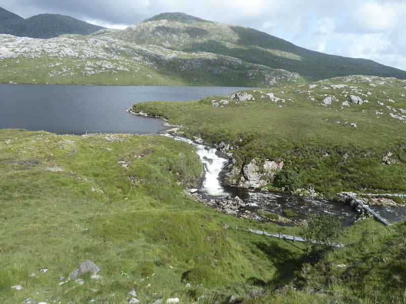
- Time taken – 7.75 hours.
- Distance – 14.5 kilometres.
- Height climbed – 1305 metres.