Stormy weather was forecasted so I planned a short day with an ascent of the Tump, Meall Mor, where the majority of the route would be sheltered by trees. I drove to Strath Nairn and parked on the east side of the B851 north-east of Invercarnie beside the entrance to the road leading to Wester Lairgs. There were signs regarding unauthorised access and parking for forest walks 0.9 miles to the north-east.
I walked up the well used vehicle track to Wester Lairgs where there appeared to be a sawmill. The vehicle track was muddy at this point with piles of stacked logs. After a stock gate, the track passed through mature firs and led to a wide vehicle track, a wind farm access road from Tomatin. I walked west along this track passing more log piles awaiting removal. There was now no shelter from the wind as a large area of the forest had been harvested.
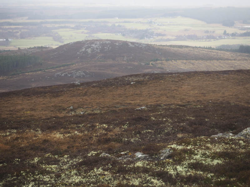
At NH701343 I came across a little used vehicle track going south, so I used it gradually gaining height. The trees here had also been cleared. At the track’s highpoint I left it and walked west through heather onto Meall Mor with a bit of buffeting on the final 40 metres or so. The highest point was some heather or an outcrop.
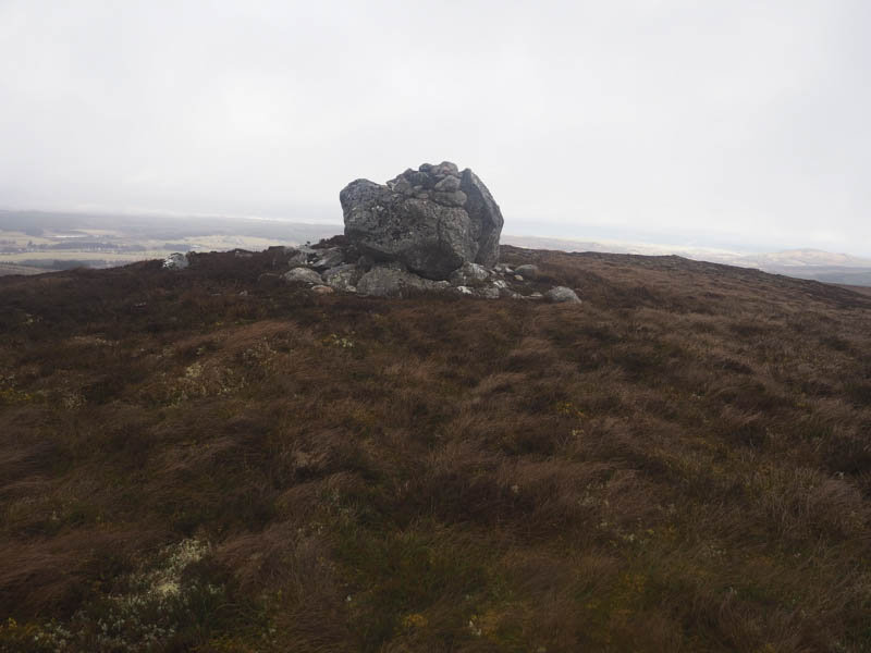
I didn’t linger here and returned to the little used vehicle track. The wind wasn’t as strong as forecasted so I decided to continue to Beinn Dubh. Immediately south of the tracks highpoint I crossed a gate in a deer fence and descended south-east through heather and grasses as well as using some animal trails. The Allt na Lairige was easily crossed then I commenced the ascent of Beinn Dubh through more heather. The summit trig point was reached but the highest point of this Tump was the nearby pointed boulder.
Despite the wind and frequent rain showers I was happy to add on another hill. I descended south-east through grass and heather, easy enough going, to above the gully of a tributary of the Allt na Fuar-ghlaic where there were a few snow patches. The ascent of Beinn nan Cailleach was across rougher vegetation with small peat hags and into low cloud. The summit of this Tump was an outcrop, there were a couple, or the cairn near a new stock fence.
I descended north out of the cloud then north-west through fairly rough underfoot conditions for a couple of kilometres, re-crossing the tributary of the Allt na Fuar-ghlaic. On approaching the forest I spotted a metal gate in the deer fence so aimed for it. Once across this gate I was briefly on an unmapped track which joined a forest track leading to the wind farm track. It was followed west then north to the point I had joined it earlier in the day. From there I returned to the start by the approach route.
- Time taken – 3.5 hours.
- Distance – 12 kilometres.
- Height climbed 480 metres.