Cairn Cattoch – This Tump was located north of the village of Archiestown, which lies on the B9102 Craigellachie to Knockando Road in Moray. From the village centre I drove the short distance north on a tarred road and parked at the north side of a house. There was no signage and I’m unsure if it was a public car park or belonged to the householder. There was no one in the vicinity to ask.
I set off round a padlocked stock gate then along a forest track which was in good condition. My old OS map for the area showed the track coming to an end but this wasn’t the case. It continued north through the trees later turning west. However this was taking me away from the summit area so when the track began to lose height I decided to head back to an old vehicle track I had recently passed.
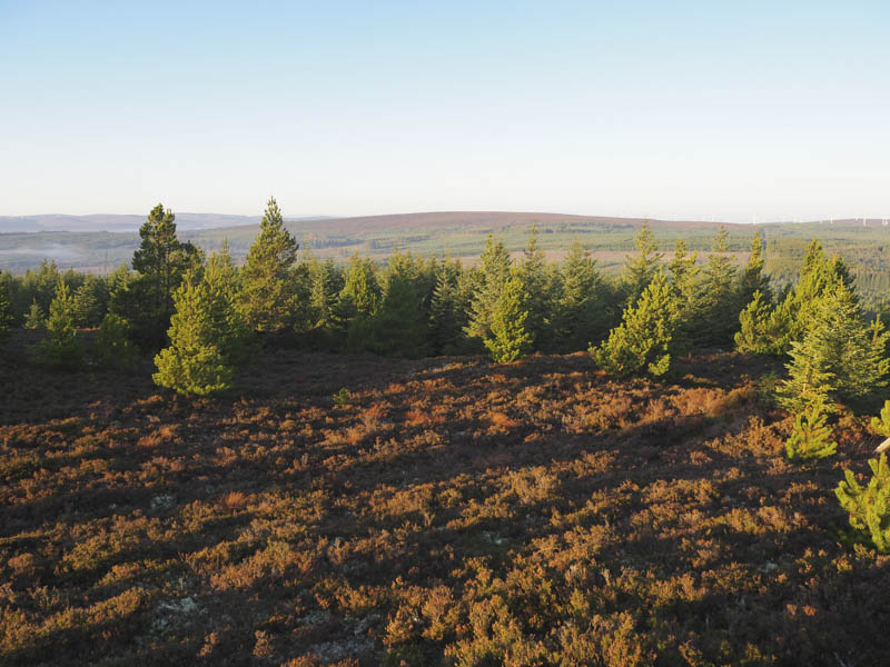
Unfortunately this track soon came to an end so I walked through brash, heather and young fir trees getting a foot wet in one of the several hollows. On reaching the more mature trees I came to a vehicle track running across the hillside which I could have accessed had I continued west.
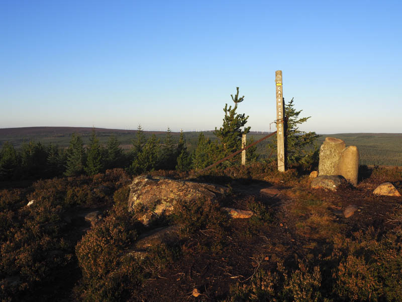
I walked briefly east along this track to a path and a sign for Cairn Cattoch. The path initially headed north-east before turning north-west. It was a bit muddy in places and led to the summit where there was a marker post and boundary stone.
After a coffee break sitting in the sun, albeit a bit chilly, I returned along the path passing a couple of females headed uphill on mountain bikes. On reaching the vehicle track I took a left and descended south through the trees to a quarry where the track turned west to rejoin the upward route which was followed back to the start.
Carn na Cailliche – I parked beside the signpost for The Mannoch Road located on the minor road north-west of the Tomore Junction on the B9102 Archiestown to Knockando Road and walked north-east up this track which according to the sign led to Bardon, 6 miles away. The track was initially in reasonable condition but beyond the ruin at Mannoch Cottage the condition of the track began to deteriorate with pools of water and boggy areas.
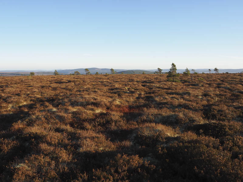
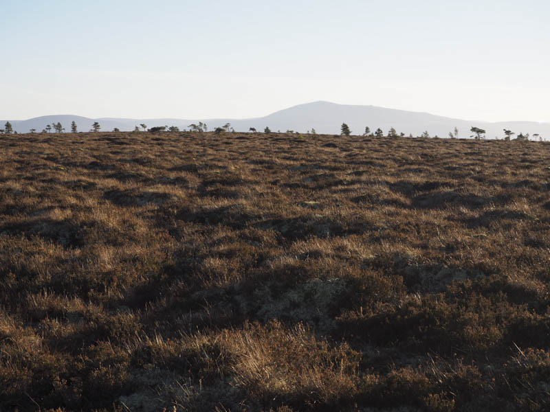
Prior to reaching its highpoint I came across an ATV track which led to a wooden estate hut (NJ19764727) and from there I walked west for around a kilometre through heather, grass, moss and bog, with several old drainage channels making it hard work. The trig point on Carn na Cailliche was reached but it was in a slight dip. The highpoint of this Hump appeared to be a clump of grass, moss and heather to the west but difficult to confirm as the summit area was reasonably flat.
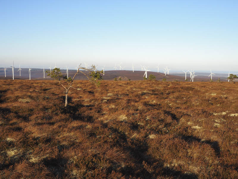
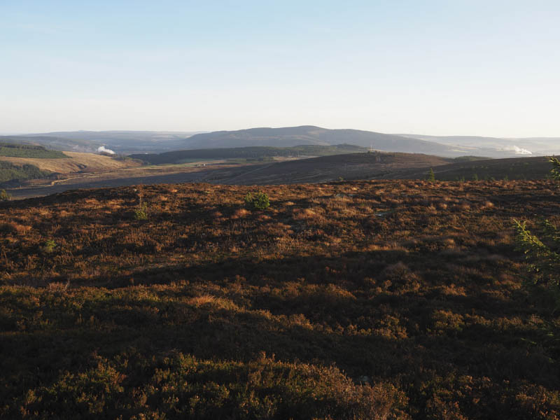
After lunch in the sun I descended south to a deer fence and followed it east, south then south-east. The walking was easier here with some animal tracks to follow. Eventually I rejoined the vehicle track at NJ19744639 and followed it back to the start.
Cluny Hill – Nelson Tower – I left my vehicle in the car park at Grant Park in the town of Forres and followed various paths and shortcuts, fairly steeply at times, to Nelson Tower positioned on the summit of the Tump, Cluny Hill. The Tower was closed, only opening in the afternoons between May and September.
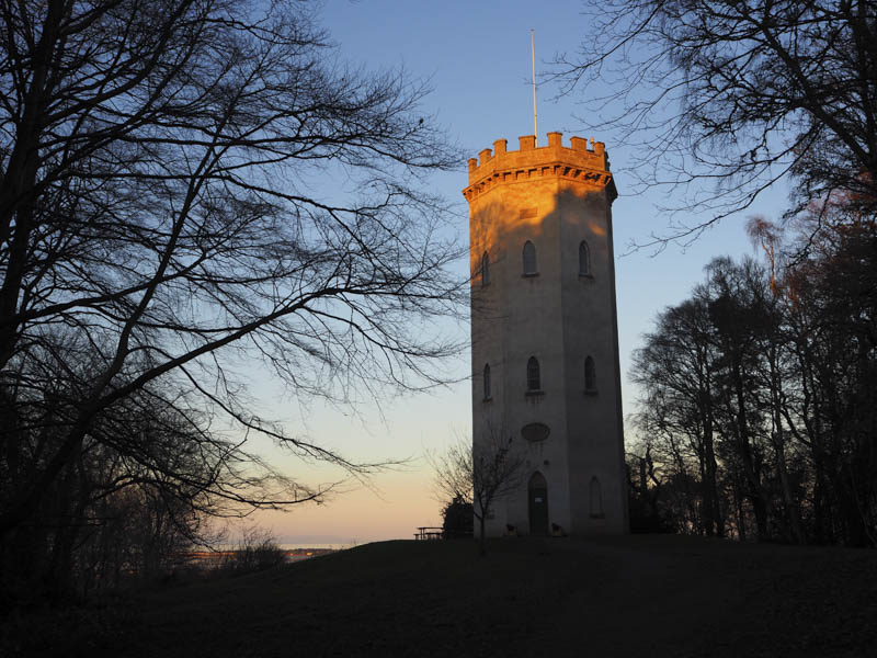
After walking round the Tower I returned roughly by the upward route.
- Total time taken – 4.75 hours.
- Total distance – 16 kilometres.
- Total height climbed – 360 metres.