I drove north-west along the single track road in Glen Buchat, accessed off the A944 Alford to Strathdon Road near Glenbuchat Castle, and parked on some rough ground opposite the southern entrance to Glenbuchat Lodge. I crossed the minor road and walked down this driveway where logs were stacked at either side as a result of forestry operations.
On approaching Glenbuchat Lodge and its adjacent buildings, which looked impressive having obviously recently been refurbished, I followed the vehicle tracks along the south side of the Coulins Burn thus avoiding passing the front of the Lodge.
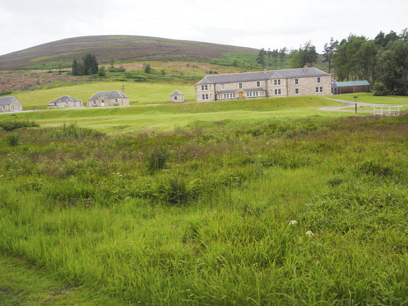
This did involve crossing the Burn of Wood and the Coulins Burn, the water levels were low, to reach the vehicle track west of the Lodge.
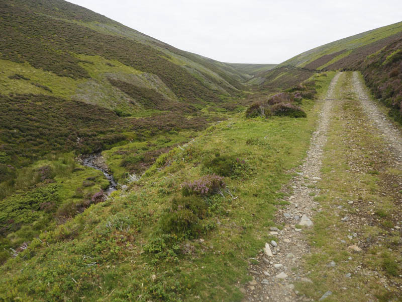
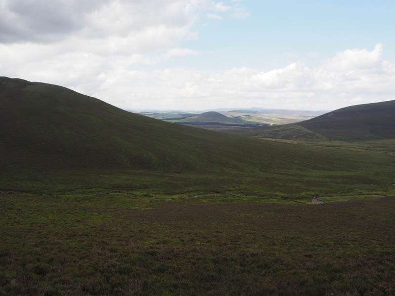
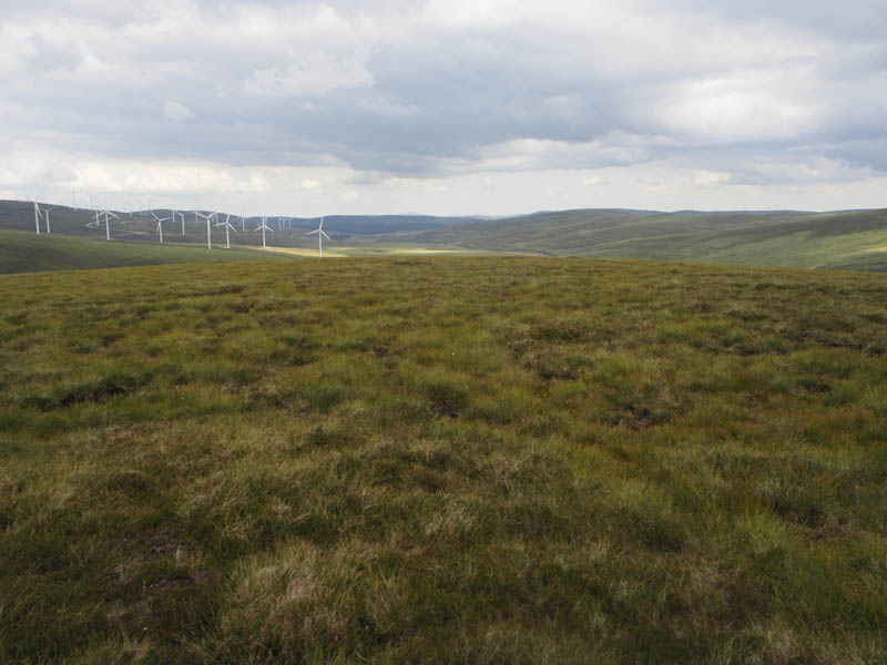
This track was initially followed west then it turned north rising steadily above the east side of the Allt nan Cabar and later the Cacherlicyme Burn.
On reaching a junction of tracks, (NJ309206) the more obvious one headed south-east towards Little Geal Charn, I left it and continued, initially across short cropped heather, to a newly built stock fence.
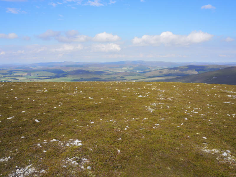
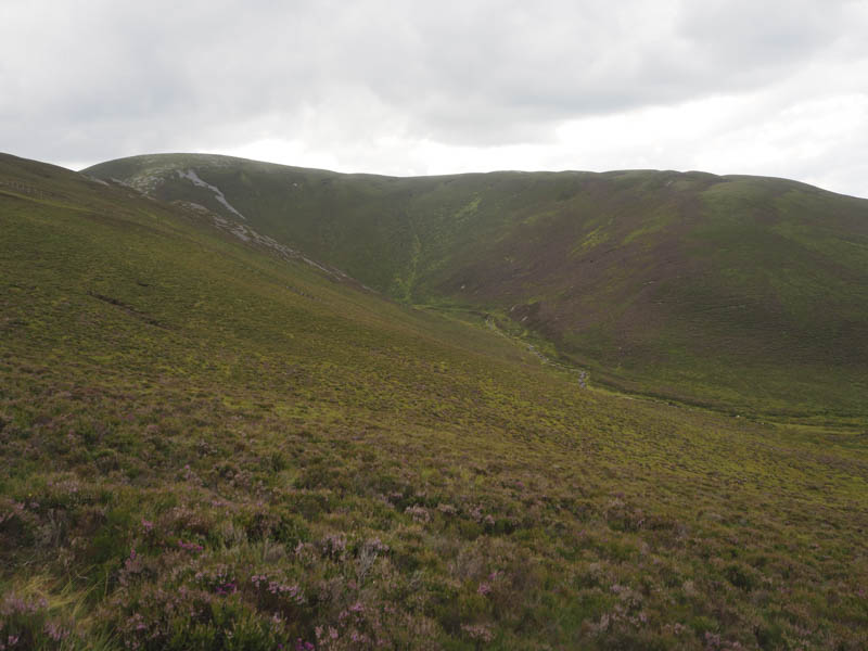
From there I descended through longer and rougher vegetation to cross the Kymah Burn. Beyond, it was rough going with several bog pools and as I continued west to the south of the Caochan Odhar, peat hags. The majority were dry so using them made for easier walking.
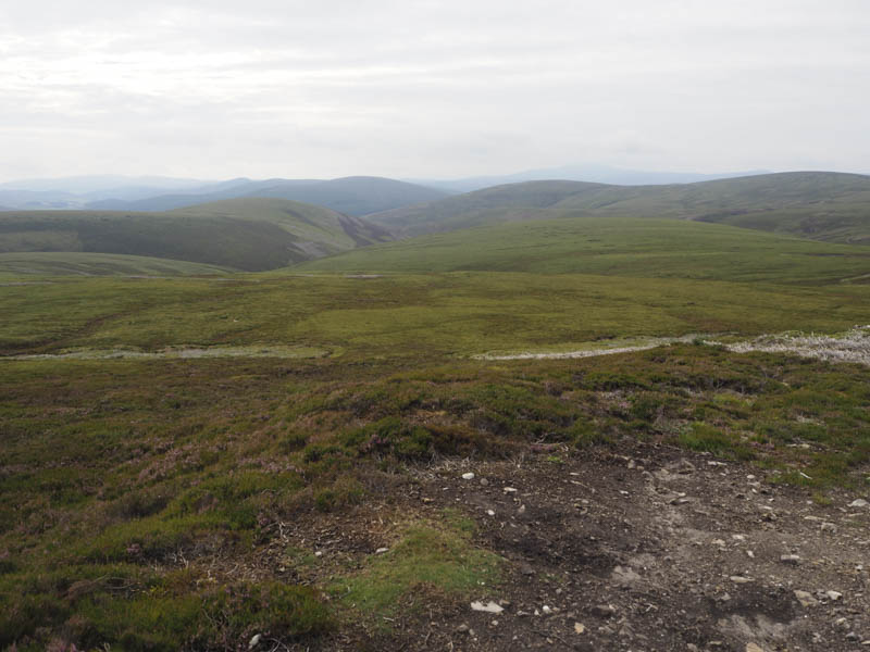
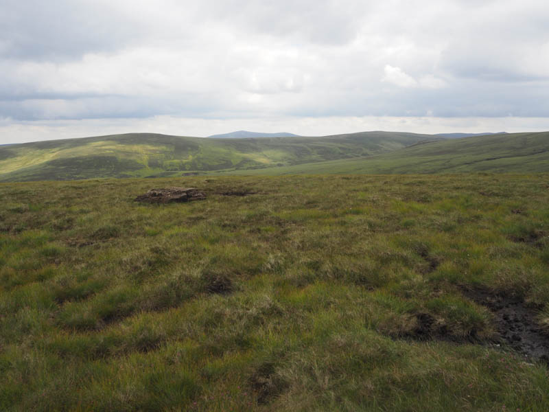
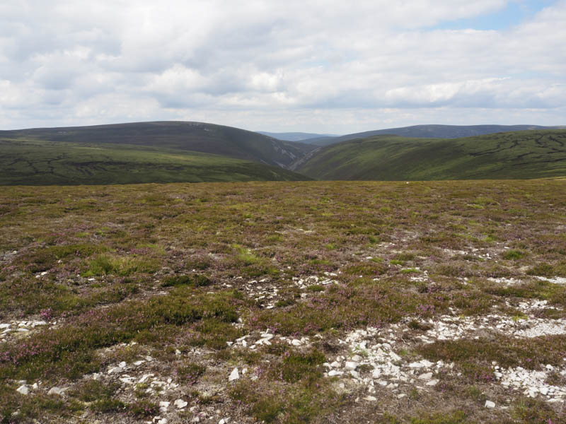
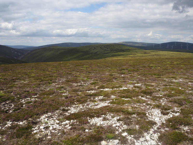
Higher up I crossed the tributaries of the Caochan Odhar and headed north-west through more of the same underfoot conditions to below the col between Letterach and Carn na Glascoill. Here I came across an ATV track, initially peaty but later consisting of quite a few stones, and followed it onto the summit of Carn na Glascoill. The highest point of this Sub Simm was some heather around 30 metres from the cairn.
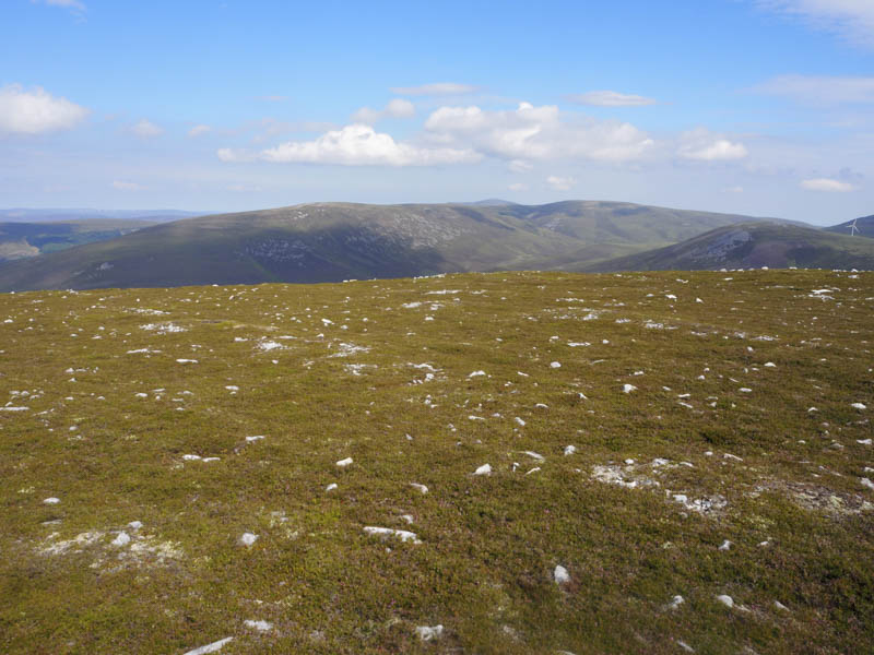
I remained at the cairn for a while before descending, north and north-west on peaty ATV tracks, to Bachd Buidhe from where I headed north-east down a ridge to reach and cross the Kymah Burn at NJ288237.
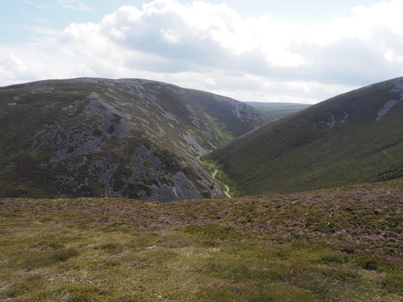
It was then through heather before crossing a dilapidated deer fence and onto deer tracks to reach the path that came up from Glen Livet. This path, overgrown and obviously little used, was followed uphill through the heather and to north-east of The Eachrach.
The ground later levelled out and the path disappeared as the heather was replaced by rough grass.
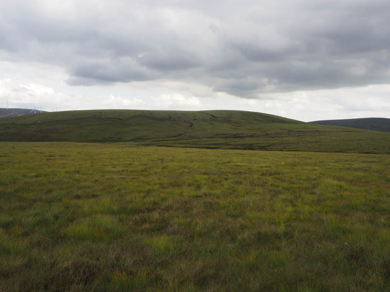
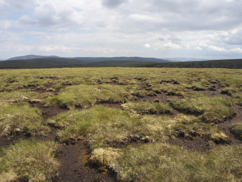
I walked east through the grass and later more peat hags towards the col between Kneedeep and Round Hill. Similar underfoot conditions were encountered as I ascended Kneedeep, the highest point of this Tump apparently being a grassy mound although that was difficult to confirm.
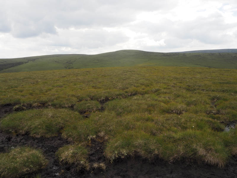
I thereafter descended to the col with Round Hill then it was through more rough grass, heather and peat hags to reach this Graham Top. Round Hill’s highest point was a tussock amongst the numerous peat hags.
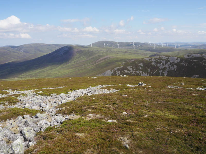
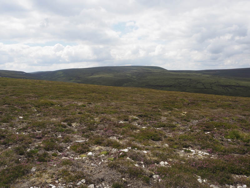
The descent south-east involved re-crossing the dilapidated deer fence then through more of the same underfoot conditions I had encountered on the ascent of Round Hill. I then continued onto Geal Charn’s North Ridge and the stock fence which contained a couple of electric wires. Fortunately there was a stock gate nearby and it separated the older stock fence with the electric wires from the new fencing without.
The descent through peat hags then short cropped heather took me back to the vehicle track beside Cacherlicyme Burn and I returned to my car by the outward route. Not long after commencing this descent the gamekeeper stopped for a chat. I had spotted his vehicle earlier on Little Geal Charn. He was friendly enough although obviously interested where I had been and if I had spotted any deer or grouse. However most of the wildlife I had disturbed were on the adjoining Glen Livet Estate.
- Time taken – 6.25 hours.
- Distance – 21.5 kilometres.
- Height climbed – 895 metres.