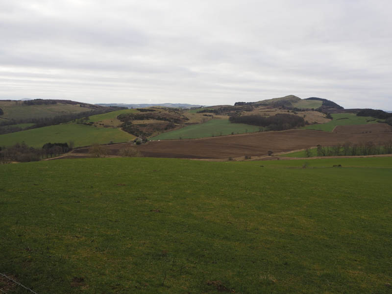
Coultra Hill – This hill was located to the north of the A92 Dundee to Glenrothes Road and west of Gauldry. I parked at the start of the forest track, accessed from the minor road to the south, passed through a gate in the new deer fence, and followed tracks through the wood where a few of the trees had been harvested. It was then a short walk across a rough area of ground to locate a boulder. The highest point of the deleted Tump, Coultra Hill, was ground nearby. I then retraced my route.
Tay Mount – Located north of the A92 Dundee to Glenrothes Road and west of Gauldry the starting point for Tay Mount was from the same minor road as for Coultra Hill. (see above) I parked on the south verge beside a field entrance, entered this field and walked east along a wide rough grassy area between a wood and a section of the field which had been ploughed. I later crossed into the wood and here the trees were well enough spaced to make the passage easy enough. I then went over a barbed wire fence into a grassy field. The summit of the Tump, Tay Mount, was a small grassy knoll south-east of the trig point. I then returned by the approach route.
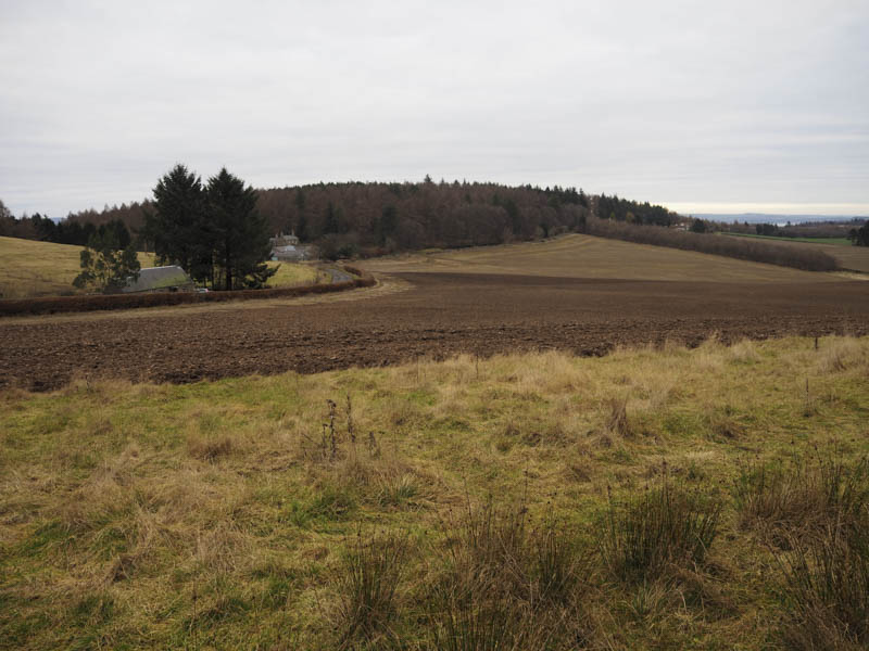
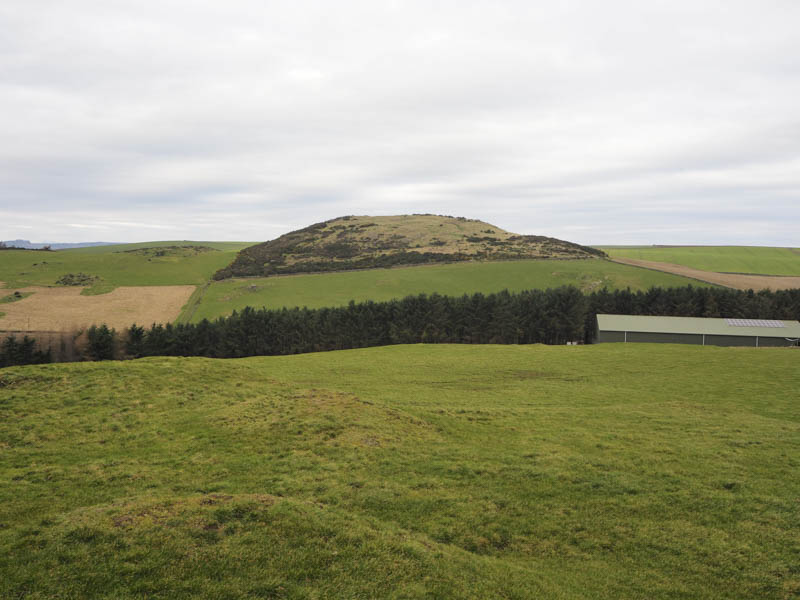
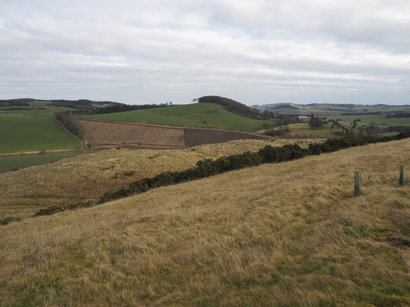
Black Craig – This was another Tump located north of the A92 Dundee to Glenrothes Road. It was positioned to the north-east of the hamlet of Brunton and was climbed from the minor road to the east. I left my vehicle on the north verge beside the wood and walked west along the road to the end of the trees where a vehicle track headed north-west then west onto Black Craig. The highest point of this Tump was an outcrop on the south side of the track beside some gorse bushes.
The return was by the ascent route.
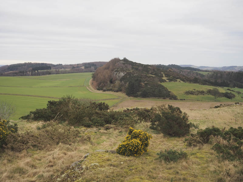
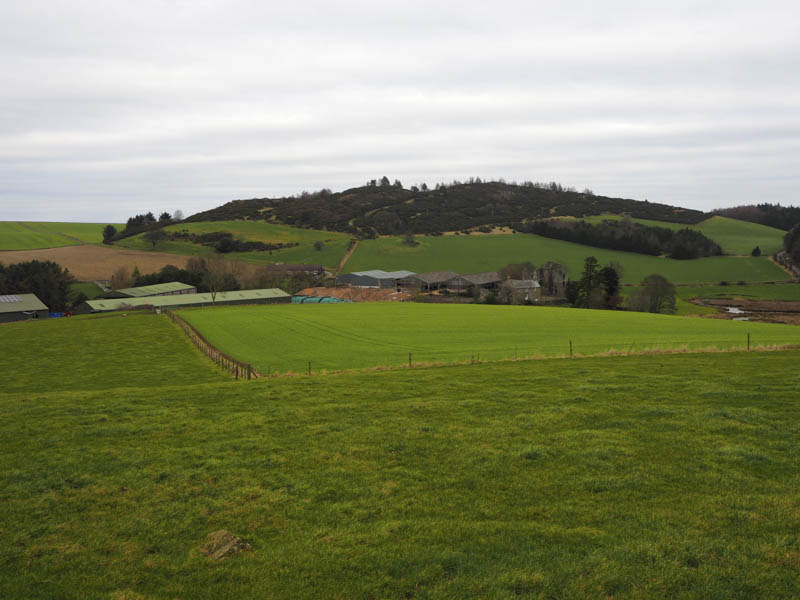
Green Craig and Brunton Hill – These two hills were also located to the north of the A92 Dundee to Glenrothes Road. Green Craig was to the north-east of Brunton while Brunton Hill was to the east of this hamlet.
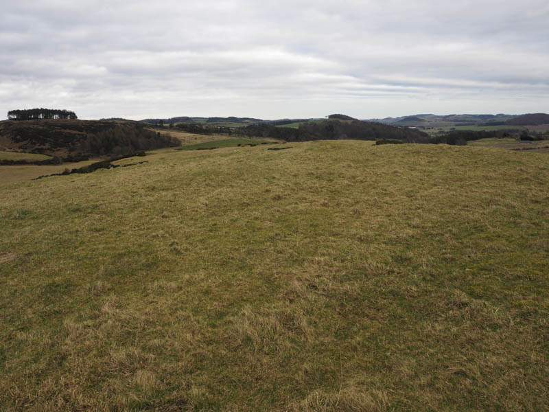
I parked beside the old churchyard at Creich, to the south-east of Green Craig, and walked to the west end of the churchyard where I went through a stock gate then followed the edge of a grassy field to a second gate. This took me into some rough vegetation, including gorse bushes, and to the highest point of the Tump, Green Craig, which was amongst some of these bushes but easily accessed.
I returned to the churchyard by my approach route then continued the short distance east to Creich Farm. On walking through the farm buildings I spoke to the farmer, he said he was just an employee, to ascertain if it was possible to access Brunton Hill. He was aware of the access legislation, objected to my presence within the precincts of the farm buildings, but allowed me to continue mentioning the electric fences were live.
I walked round a cattle shed, crossed a stock gate and entered a grassy field. The next gate was open leading to another grassy field where a knoll was the highest of the deleted Tump, Brunton Hill.
I descended to the west of the farm, went under the electric wire fence, over a stone dyke and fence with a larger drop on the north side and into a wood. Once through this wood I crossed another fence then walked round the edge of a ploughed field to reach the minor road just west of the churchyard.
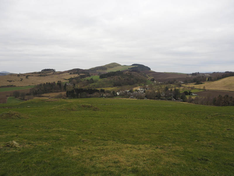
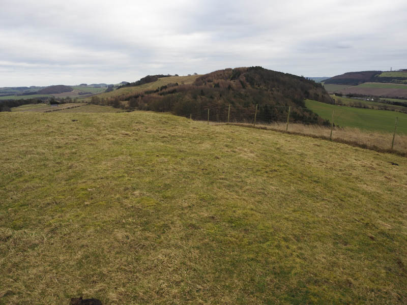
Starr Law, Emily Hill, Prospect Hill and Whirly Kips – This group of hills were located to the north of the A92 Dundee to Glenrothes Road and the A913 Newburgh to Cupar Road. I parked in the village of Luthrie and walked north up a minor road soon entering and climbing a grassy field where a horse grazed. Due to high fencing on the north side of the access track to Starrbank House it was easier to descend to the minor road beside the start of this access track where stock gates gave access to the grassy field beyond. It was a steady climb to the north-east corner of this field where I clambered over a deer fence to reach another grassy field. Here I crossed a fence at a point where protectors covered the barbed wire and entered a small wood. There were some brash and fallen trees to contend with before reaching, within the wood, the highpoint of the Tump, Starr Law.
I returned to the minor road and before reaching Luthrie cut through a farmyard and walked up the minor road to the local church then along a vehicle track that headed off west along the edge of a new deer fence enclosing the north side of Emily Hill. North-west of this hill I followed another track and the deer fence south-east through a stock gate later leaving the track and climbing through rough grass to the summit of the Tump, Emily Hill, which consisted of some grass.
There were several new deer and stock fences in the area as Carphin Farms were promoting the regeneration of wilder land which included the planting of hundreds of trees. I followed some of these fences and eventually reached the private road to Carphin Farm and House and the path for Norman’s Law.
It didn’t appear appropriate to walk passed these properties where some construction work was on-going so I entered and crossed a grassy field then a stream to reach the vehicle track running from Luthrie to Ayton. I walked west along this track and prior to reaching Wester Kinsleith I left the track, crossed a gate in the deer fence, and went through a new plantation. The ascent south-west through these young fir trees wasn’t a problem then there was a slight dip before crossing deer and stock fences onto the summit of Prospect Hill. The highest point of this Tump appeared to be a grassy area on a grassy track.
This grassy track was followed north-west then I walked through some mature trees before crossing a stock fence, the path to Ayton and another fence to enter a grassy field. This field was crossed to a stock gate near to a deer fence and beyond this gate another field was crossed to reach the grassy knoll, the summit of the Tump, Whirly Kipps.
I returned to the Luthrie to Ayton path and walked east to rejoin the vehicle track at Wester Kinsleith and followed it back to Luthrie.
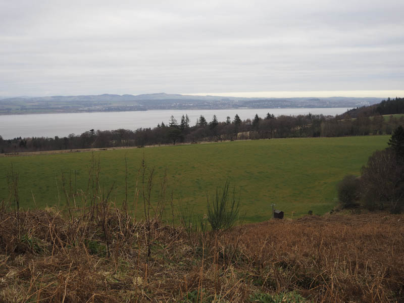
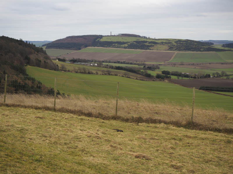
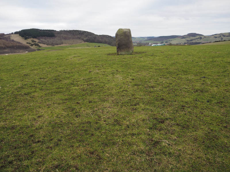
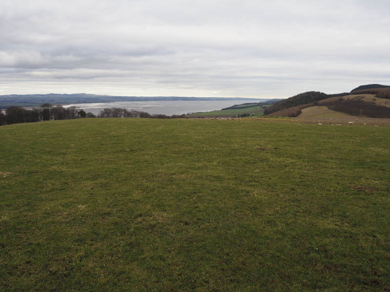
Highman Hill – This hill was located north of the A913 Newburgh to Cupar Road and north-west of Newburgh. I left my car at the side of the minor road above the Firth of Tay, there didn’t appear to any other option, and climbed through a wood keeping close to its west then south sides. I went through a stock fence then a gate into a grassy field containing sheep and to the standing stone marking the summit of the Tump, Highman Hill.
I returned to the wood and made a more direct beeline to my car although it was rather steep going.
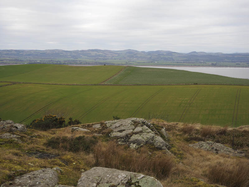
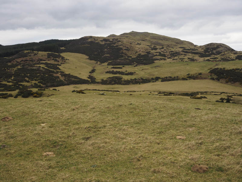
Glenduckie Hill – This Tump was located on the north side of the A913 Newburgh to Cupar Road at Glenduckie. I parked on the east verge of the road leading into this hamlet then walked along a tarred road to East Cottage. Here I crossed a stock fence as well as an electric wire then headed north up a grassy field and through a gate. I crossed another grassy field before entering the wood where it was rough going with several fallen trees to avoid. Eventually I emerged onto the open hillside where a path led across some rock and heather to a knoll. However it was obvious that a tree covered knoll within the wood was higher. I returned along the path and re-entered the wood to discover access onto the summit was blocked by fallen trees thus forcing me to climb moss covered rocks to reach a grassy highpoint amongst the trees, the summit of Glenduckie Hill.
I followed a path which headed off in a south-westerly direction through the trees. It later joined a vehicle track, initially grassy, back to the hamlet of Glenduckie and my car.
- Total time taken – 5.5 hours.
- Total distance – 17.25 kilometres.
- Total height climbed – 815 metres.