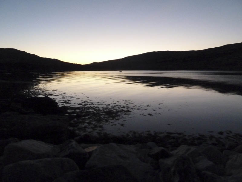
We had arranged for an early self-service breakfast at our accommodation in Kinloch on the Isle of Rum, before setting out at 7am for a traverse of the Rum Cuillin.
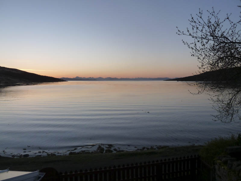
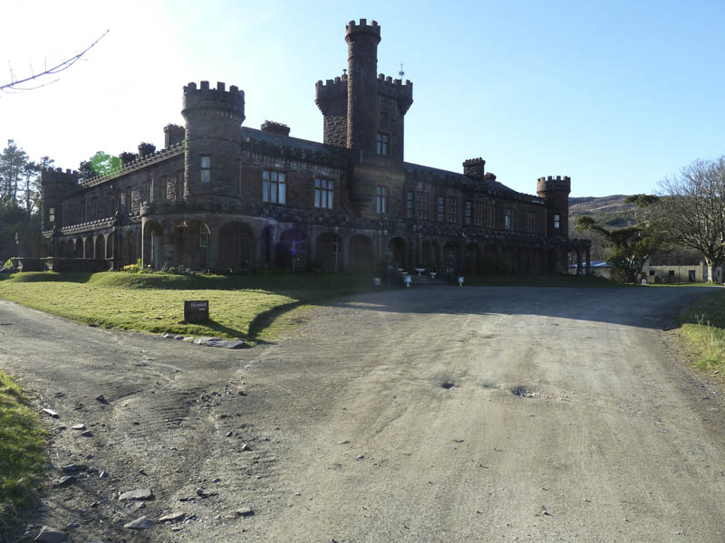
It was a beautiful sunny morning with a touch of frost as we walked round the outskirts of Kinloch Castle to join the path, wet and boggy in places, that ran up the west side of the Allt Slugan a’ Choilich.
A hydro dam and water intake was passed then it was through a gap in a rusty deer fence as the gate was missing. At an old dam we crossed the Allt Slugan a’ Choilich then followed the path, which later became quite eroded, up the side of a tributary and to the col south of a knoll. Beyond we climbed Cnapan Breaca over a mixture of gravel and stones to reach the foot of Hallival’s north-west ridge.
Higher up on this ridge we moved to the left to avoid the cliffs then worked our way through some bands of rock. There were several Manx Sheerwater burrows here and at other points along the route to Ainshval.
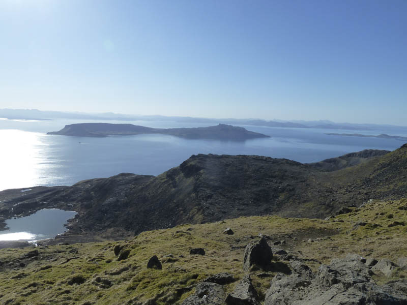
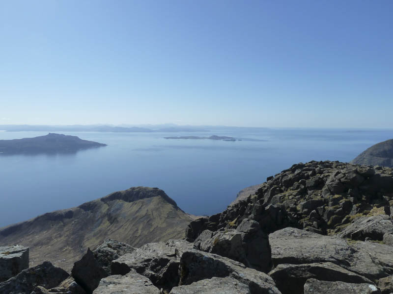
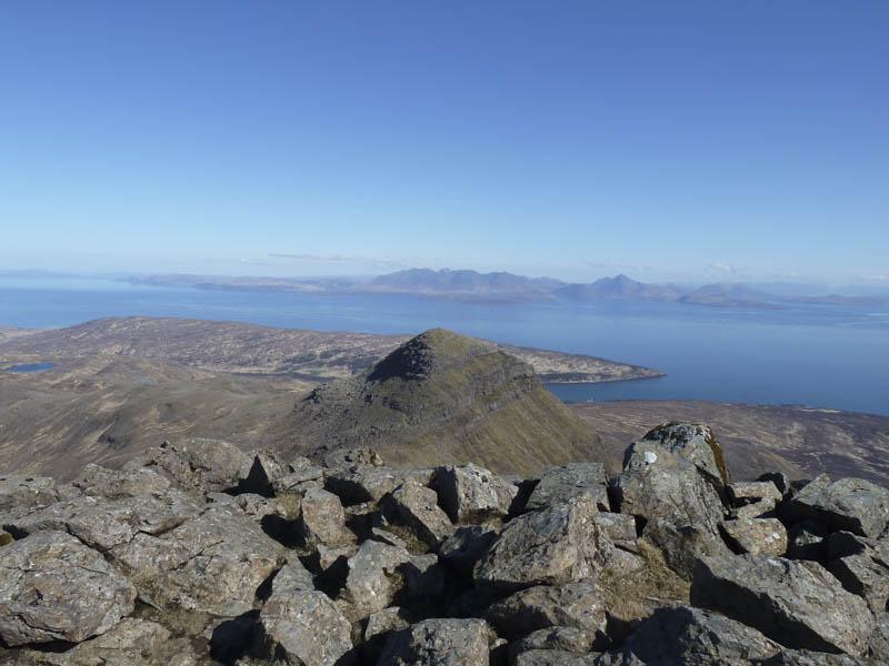
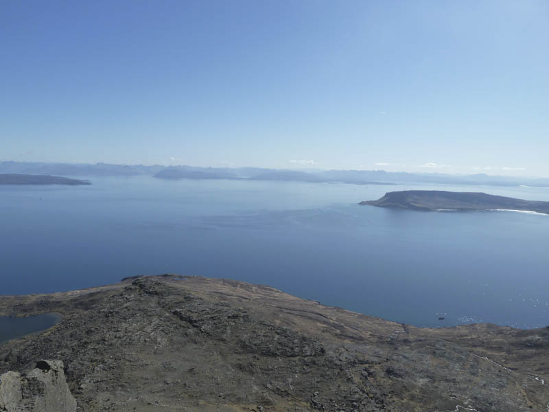
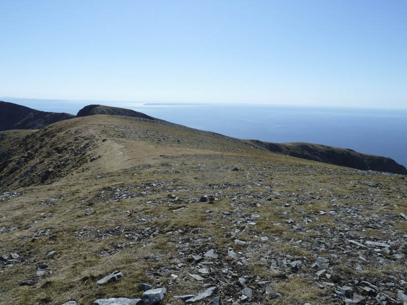
At the summit of Hallival, a Graham Top, we took a break sitting in the sun looking at the route ahead as well as the views across to the Isles of Eigg and Skye and towards the mainland.
The descent of Hallival was a bit tricky with lots of rock to contend with so this slowed us down. Eventually we reached the col with Askival where a path led up a narrow ridge.
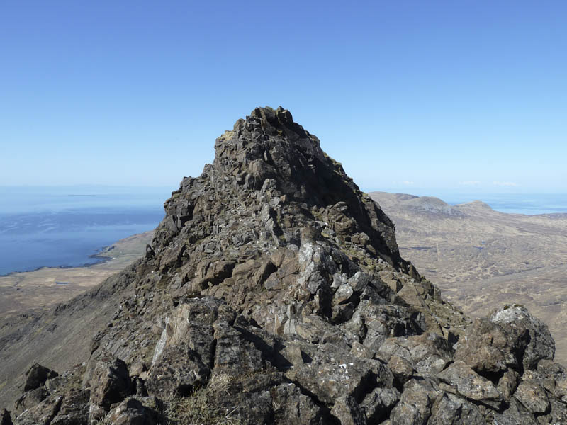
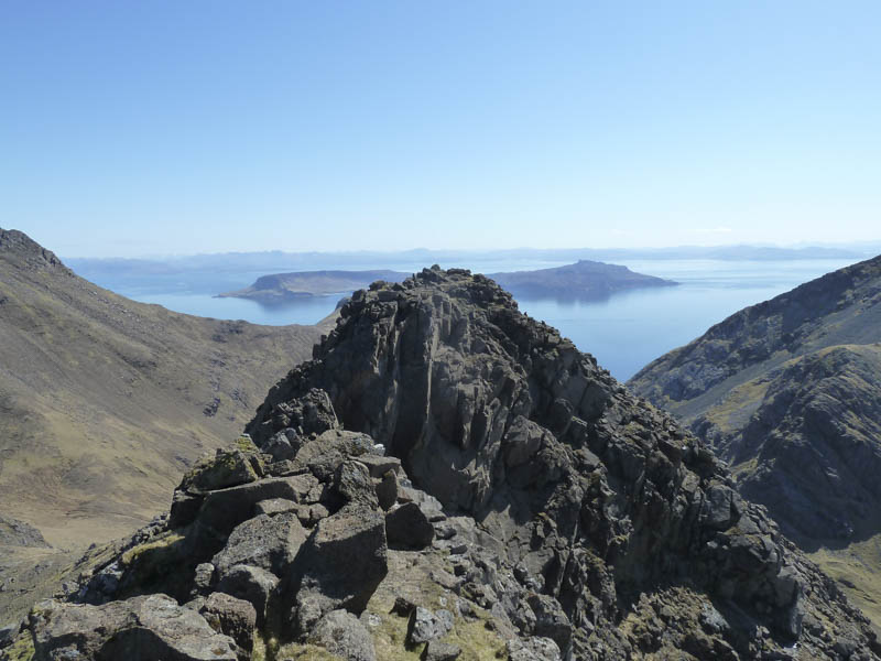
At the pinnacle we bypassed it to the east where there were traces of a path through rocks and boulders then it was onto the summit of Askival, marked by a trig point and surrounded by a circular cairn.
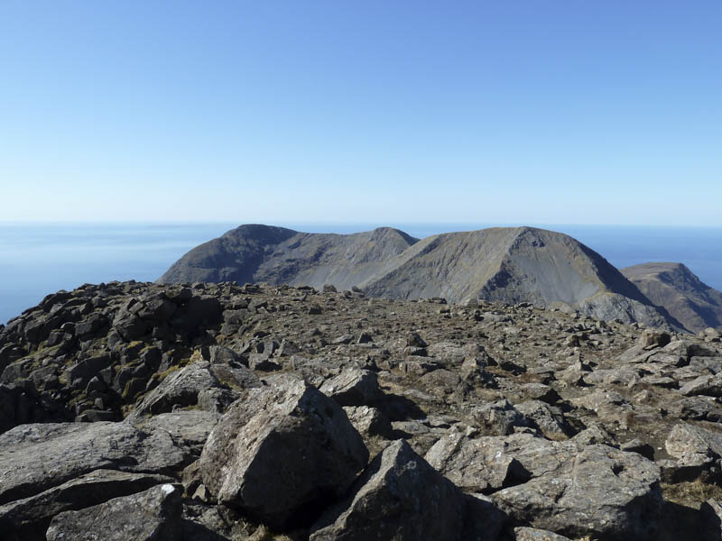
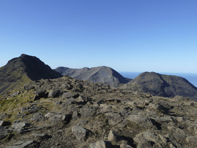
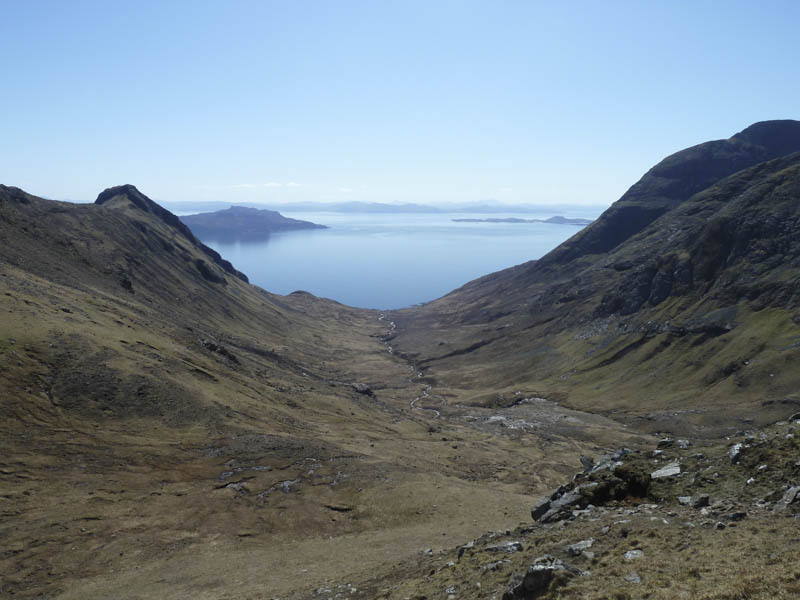
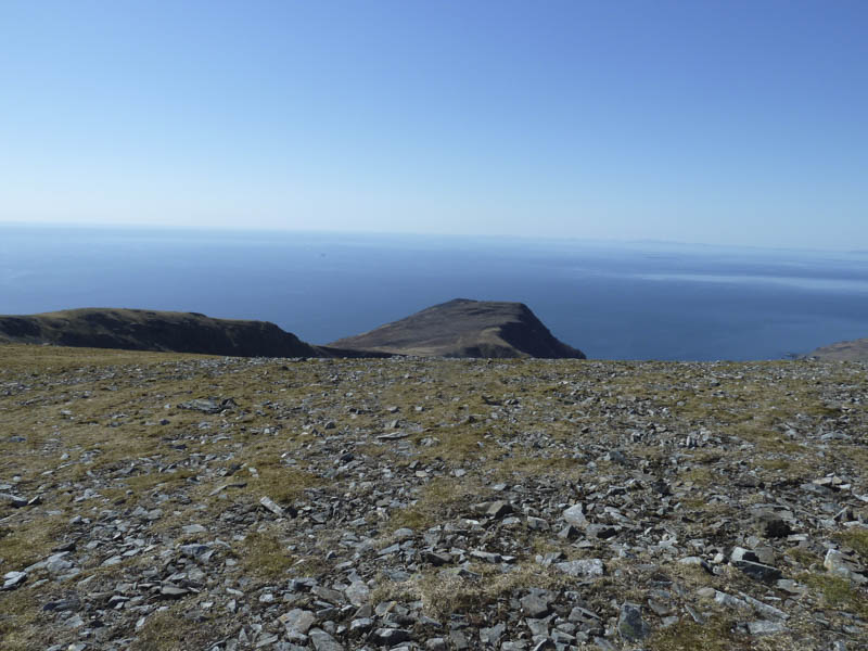
Leaving the summit of this Corbett involved descending south across scree and stones then crossing some boulders to reach the west ridge below the crags. After a long descent we arrived at the Bealach an Oir where there were views down Glen Dibidil to Dibidil Bothy.
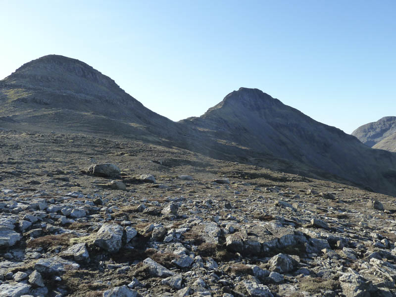
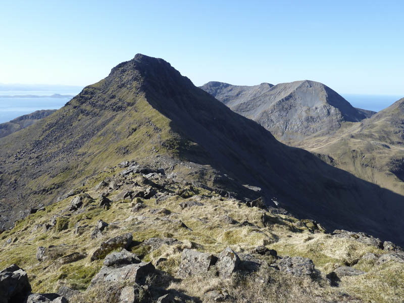
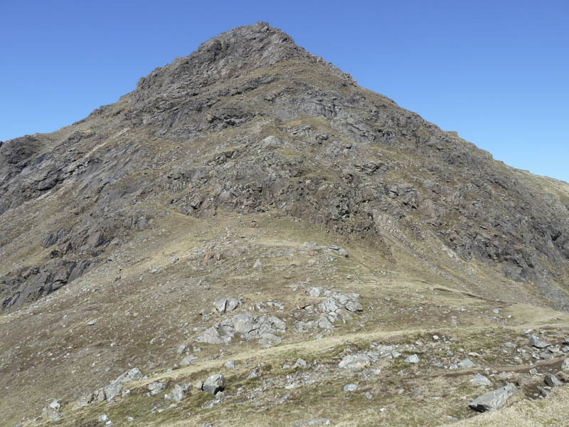
The route up the Graham, Trollaval, was initially across some grassy vegetation before arriving at the rocks and boulders. These were worked through or round to gain the East Top but this wasn’t the highest point. An exposed area of rock was crossed including some scrambling to reach the West Top of Trollaval.
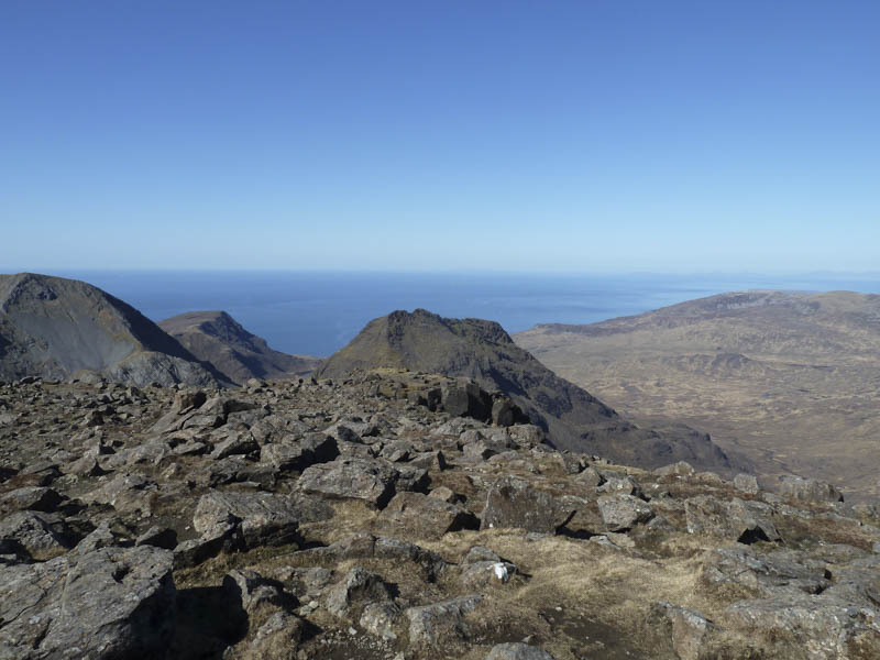
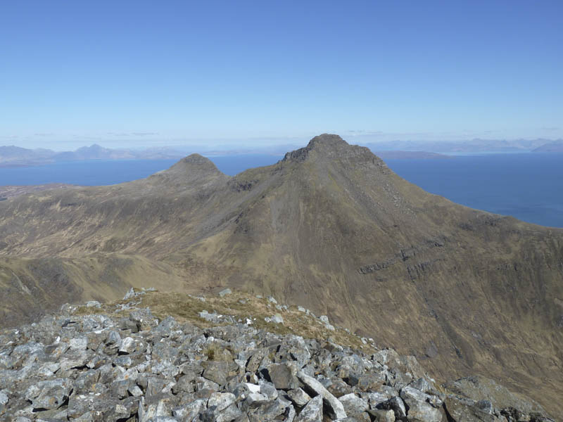
After several minutes here taking in the awesome views we returned to the East Top, collected our sacks which we had left nearby, and descended south. Occasionally there were traces of a path but on this section of the walk it mainly involved finding your own route through the boulder strewn ridge to reach the Bealach an Fhuarain.
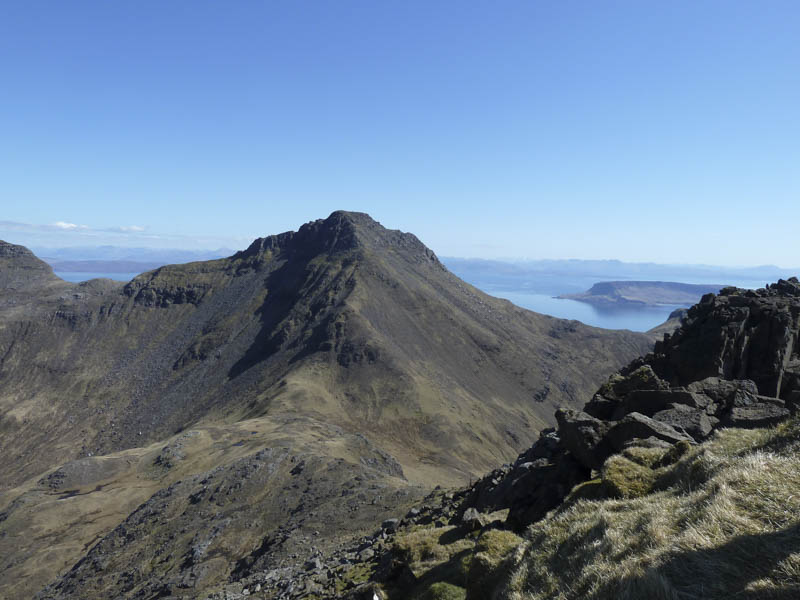
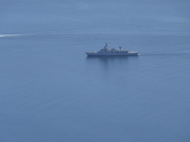
Our next target was the Corbett, Ainshval. Keeping to the ridge involved some serious scrambling so we headed right and climbed through boulders and scree to the west. The ridge was later gained and followed briefly before leaving it and continuing on a path up its east side avoiding the difficulties on the crest. Higher up the path wasn’t as obvious as there appeared to be several different routes towards the top. An area of scree was reached but we managed to avoid it and regained the ridge a few metres from the summit cairn. In the sunny conditions we had more fine views so we sat here enjoying the fantastic scenery spotting several military vessels involved in an exercise.
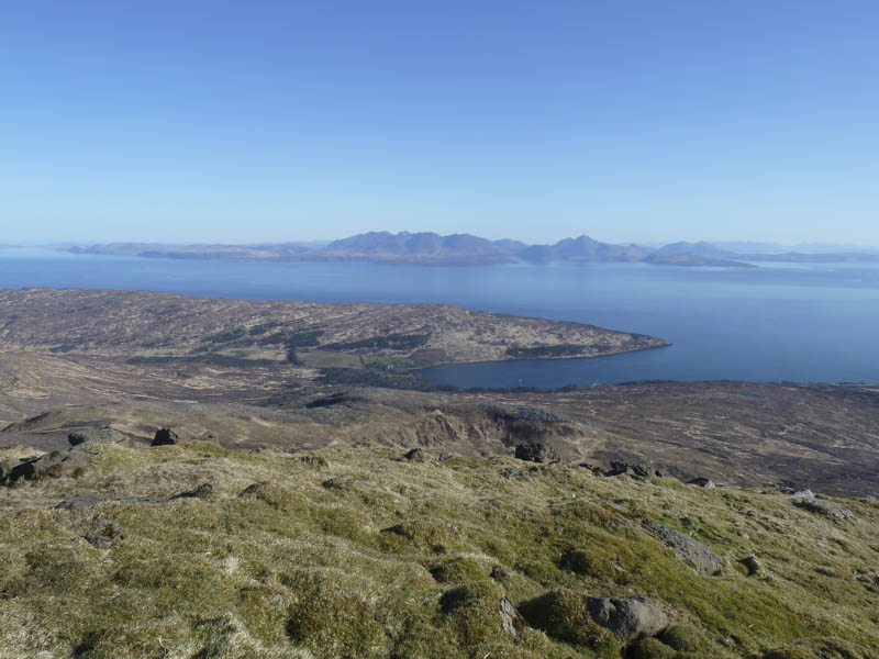
Reluctantly we left the summit and returned by the upward route to the Bealach an Fhuarain. Here we made a slight descent east before traversing below Trollaval, crossing a few rocks, to reach the Bealach an Oir. From this bealach we walked round the head of Atlantic Corrie and below Askival and Hallival, crossing several small boulder fields and trying to maintain the same height. This took us onto the Bealach Bairc-mheall then we located the path below Cnapan Breaca and followed it back to our accommodation at Kinloch.
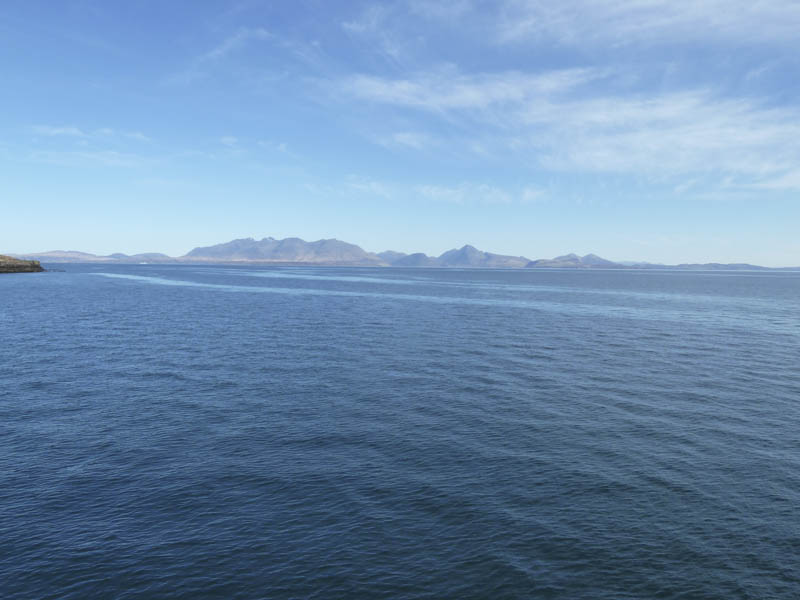
The next day (Sunday) we caught the ferry back to Mallaig, via the Island of Canna, a pleasant sail in sunny and calm conditions and the end of a grand and successful weekend.
- Time taken – 11.5 hours.
- Distance – 15.75 kilometres.
- Height climbed – 1685 metres.