Parked beside the Water Works on Carr Brae, a minor road to the north of the A87 Shiel Bridge to Kyle of Lochalsh Road, accessed from Inverinate.
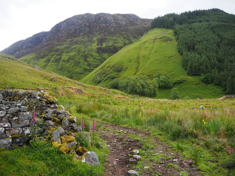
Passed through a walker’s gate then across some muddy ground beside a few old buildings, two cows were using one for shelter. The track led to a couple of gates in a deer fence and beyond them the open hillside with views of the direct approach to Sgurr an Uillt Tharsuinn, a steep vegetated hillside with crags higher up.
That route wasn’t for me so walked up the track on the west side of the steep gullied An Leth-allt. The condition of the track was mixed, some reasonable sections as well as a few rougher parts with a couple of steep rises.
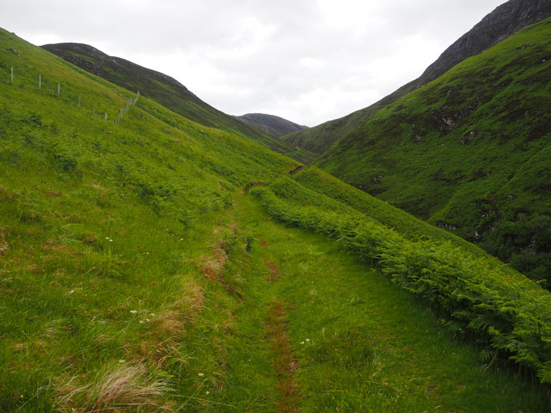
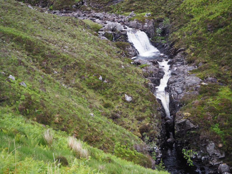
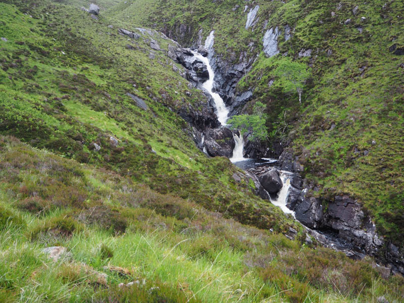
Higher up the gradient eased as the path continued into Coire Dhuinnid with a few boggy areas. At NG 92962488 came to a set of stepping stones, mentioned on the hill bagging web site, and used these large boulders to cross the An Leth-allt.
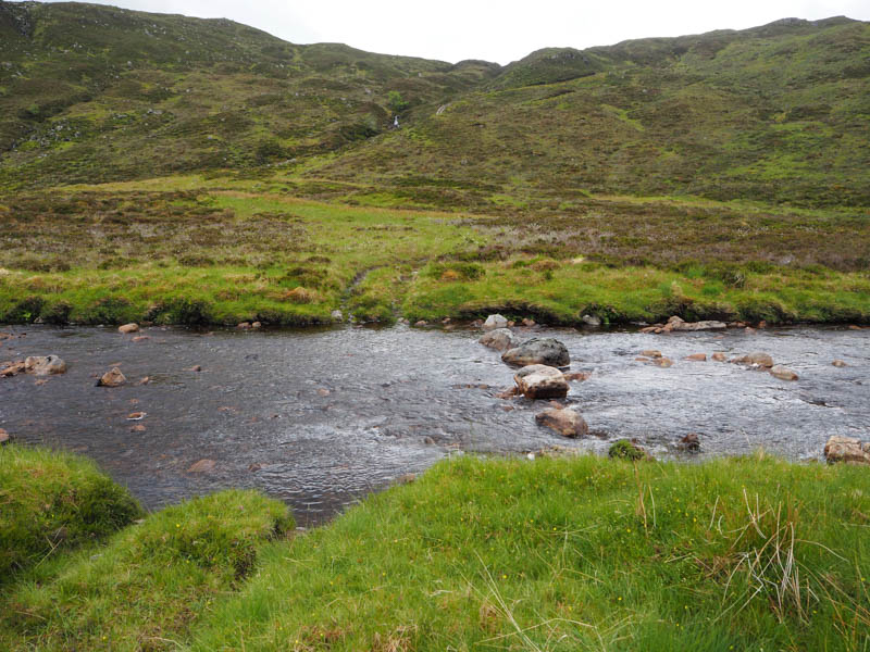
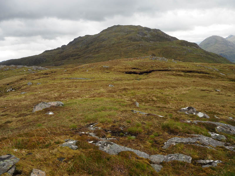
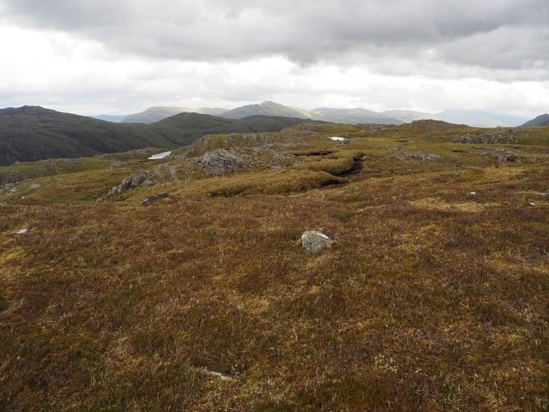
Once on the other bank it was onto an ATV track, boggy initially, and was followed SSW gradually gaining height. Higher up it became less obvious and around 700 metres from the summit appeared to come to an end or was just overgrown. (NG92562388) Anyway it was an easy enough walk through mixed vegetation with a few peat hags and some wet ground to the summit of Sgurr an Uillt Tharsuinn.
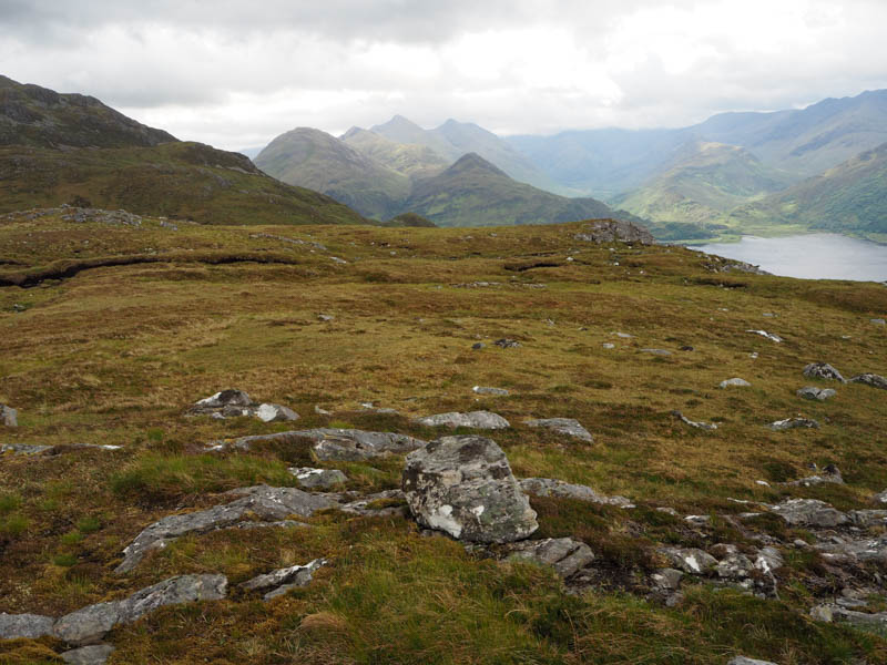
The hill bagging web site indicated that there was a cairn at their given grid reference for the highest point of this Tump, but the cairn was missing, just a moss covered outcrop. There was a cairn to the south-west but it appeared lower.
After a break sheltering from the wind returned by the upward route.
- Time taken – 3 hours 40 mins.
- Distance – 10.75 kilometres.
- Ascent – 535 metres.