The Bealach Udal on the single track road leading to Kylerhea, Isle of Skye, was the starting point for the ascent of the Grahams, Sgurr na Coinnich and Beinn na Caillich. Here there was space for a vehicle on the east side of the road bridge.
It was then a short walk east to the highest point on this road before leaving it and commencing the ascent of Sgurr na Coinnich.
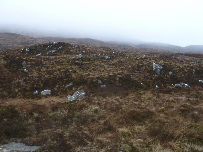
The cloud was well down the hill which reminded me of my previous visit in March 2011 when the cloud was at road level. We came across what appeared to be a walker’s path and followed it across some wet ground to a tributary of the Allt Mor. The path led to the foot of a gully where the gradient increased and the path disappeared. Keeping to the east side of this stream we climbed through heather and some boulders before the gradient eased.
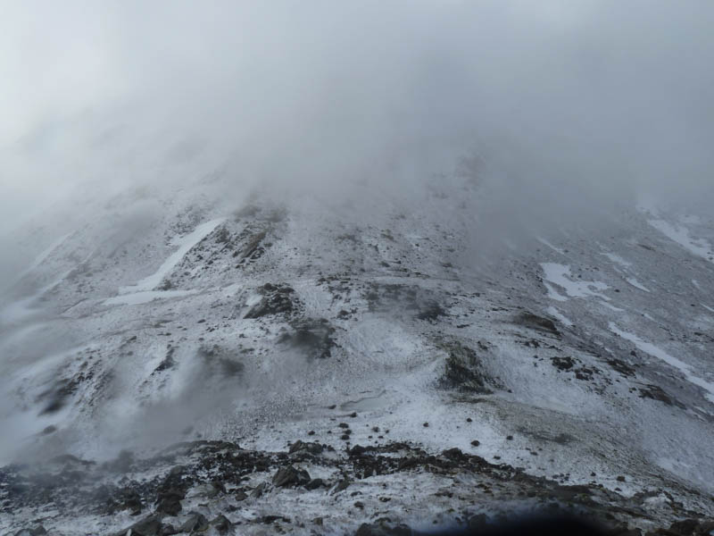
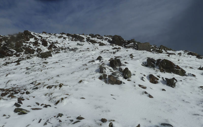
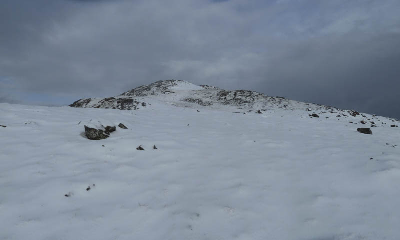
The snow, which commenced just as we set off, was now quite heavy with the heather and rocks covered by fresh snow. In limited visibility we climbed to the small lochan then over a few undulations to reach Sgurr na Coinnich’s summit trig point and cairn, where it was windy and still snowing.
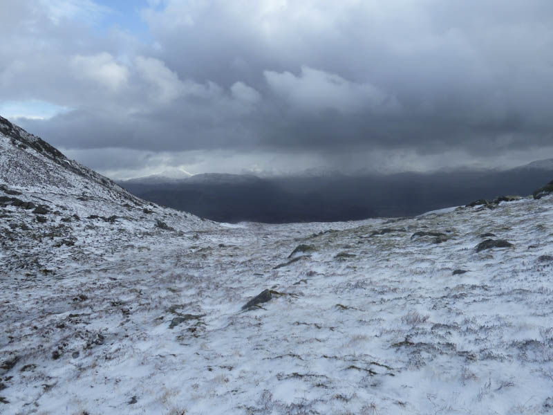
After a short discussion it was decided to continue to Beinn na Caillich so after taking a bearing we descended to Bealach nam Mulachag. The snow on this side of the hill had drifted and there were some icy patches but they could be avoided. It stopped snowing but there was no improvement in the visibility.
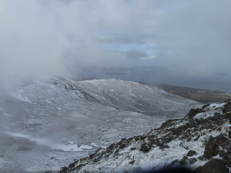
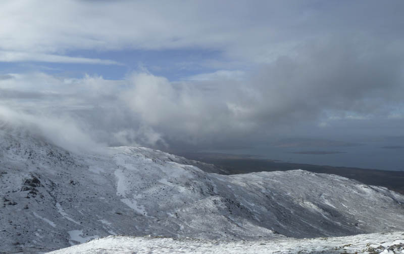
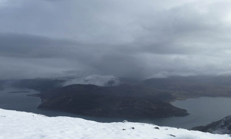
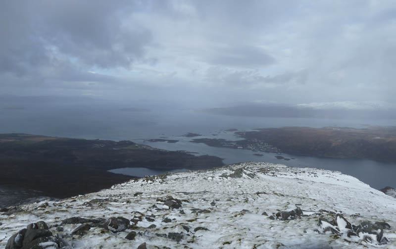
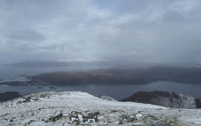
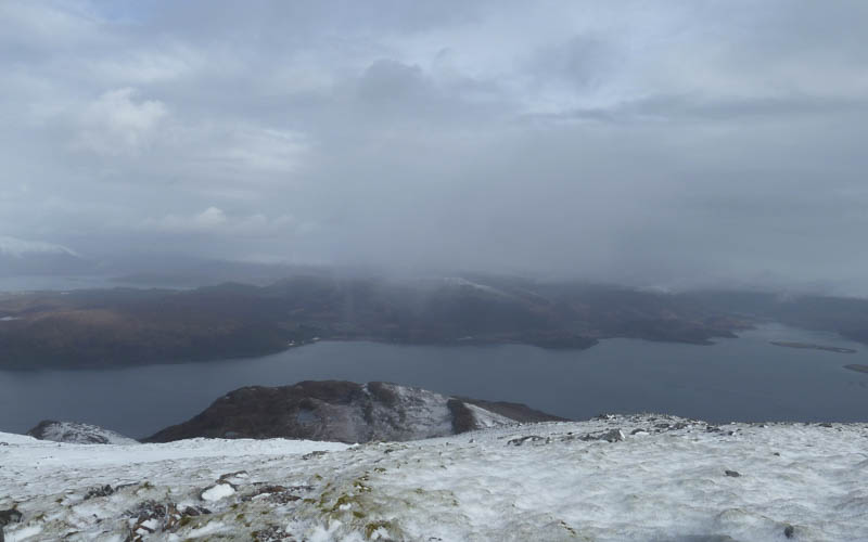
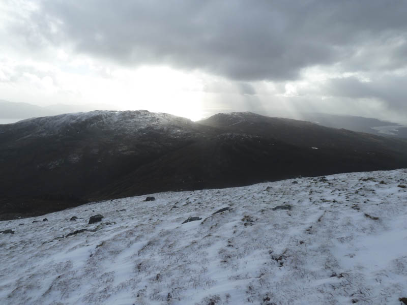
From the Bealach nam Mulachag we commenced the ascent of Beinn na Caillich keeping to the west of some rocks. The gradient then eased and the cloud suddenly broke to reveal the villages of Kyleakin and Kyle of Lochalsh. A few minutes later we could see down the other side of the hill to Glenelg Bay.
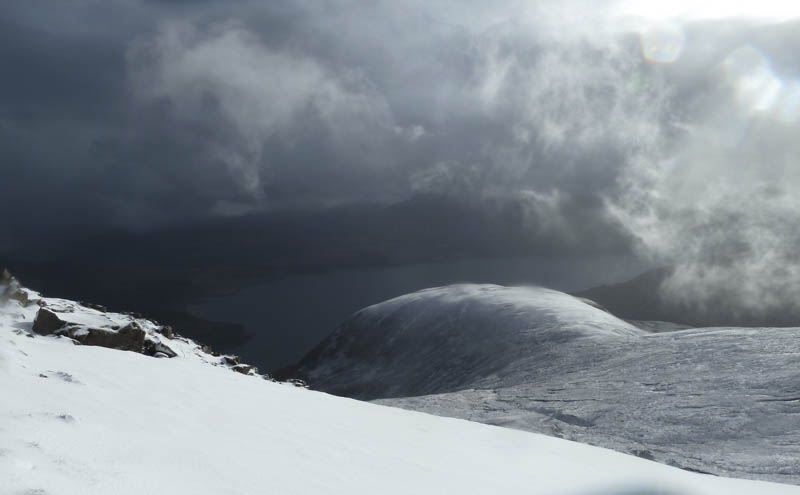
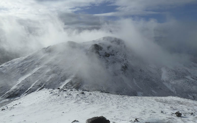
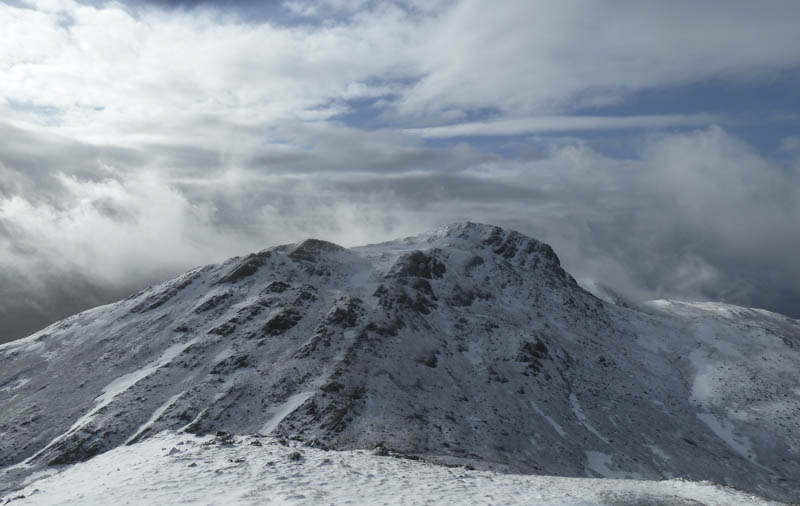
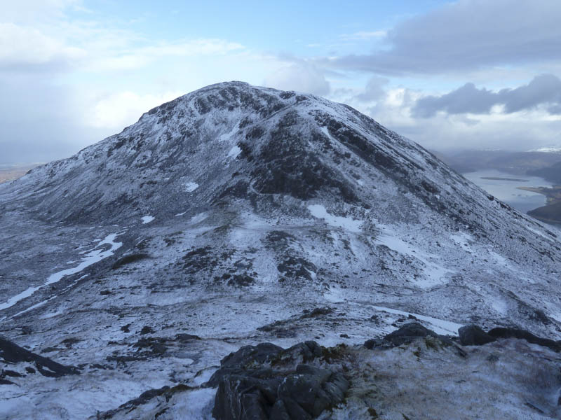
After taking a few photographs we continued up the snow covered slope to Beinn na Caillich’s summit cairn where we found some shelter to take in the views of the surrounding snow covered hills as cloud floated around.
We spent some time here before descending back to the Bealach nam Mulachag and re-ascending Sgurr na Coinnich.
Unfortunately on reaching its summit for the second time we were back in the cloud. We then descended to the Bealach Udal by the approach route.
- Time taken – 5.25 hours.
- Distance – 7.5 kilometres.
- Height climbed – 805 metres.