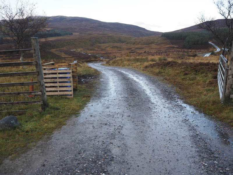
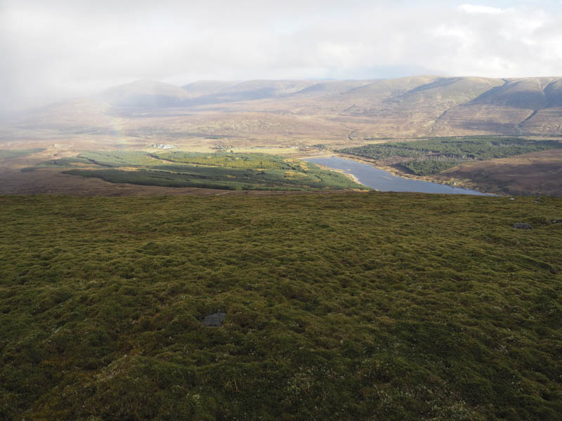
I’ve climbed the Corbett, The Fara, from the shores of Lock Ericht on a couple of occasions so on this visit decided to approach it from the north-east. I therefore parked at the quarry entrance on the A889, north of Dalwhinnie opposite the access road to Allt-an-t-Sluic Lodge, crossed the road and headed along this vehicle track, an old drover’s road.
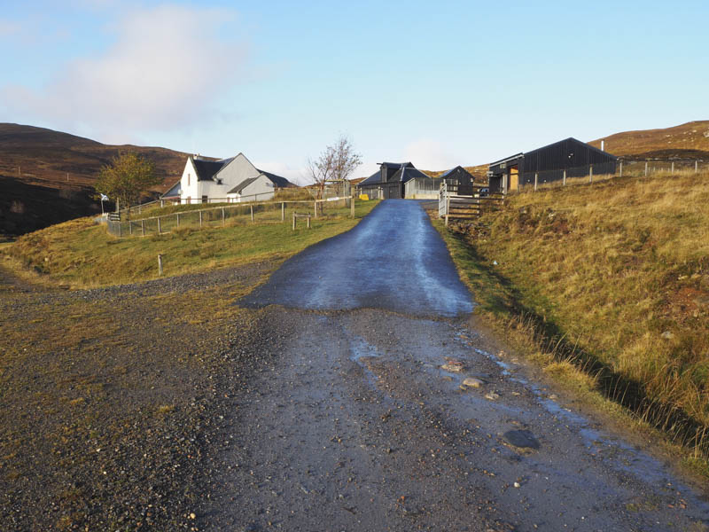
On reaching the Lodge signs indicated a route round the front of the property then I climbed an embankment to regain the vehicle track which ran between the rear of the lodge and its outbuildings.
The track forded the Alltan t-Sluic on three occasions but I only found it necessary to cross once as a path had been created by walkers on the north side of the stream between the first and second fords.
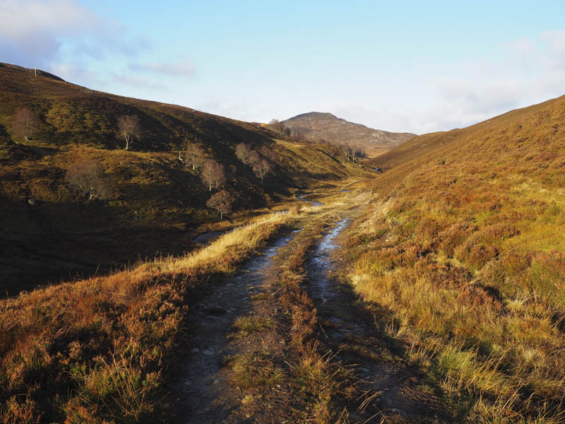
The condition of the track gradually deteriorated and at a small enclosure entered the wood via an open gate. Here the ground was muddy having been churned up by quad vehicles and deer. I therefore crossed some rough vegetation and a deer fence to regain the open moorland.
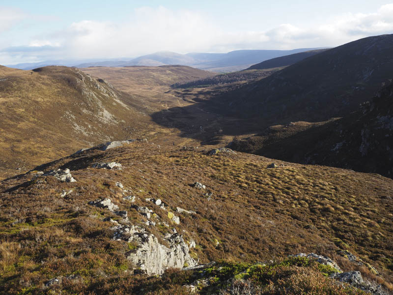
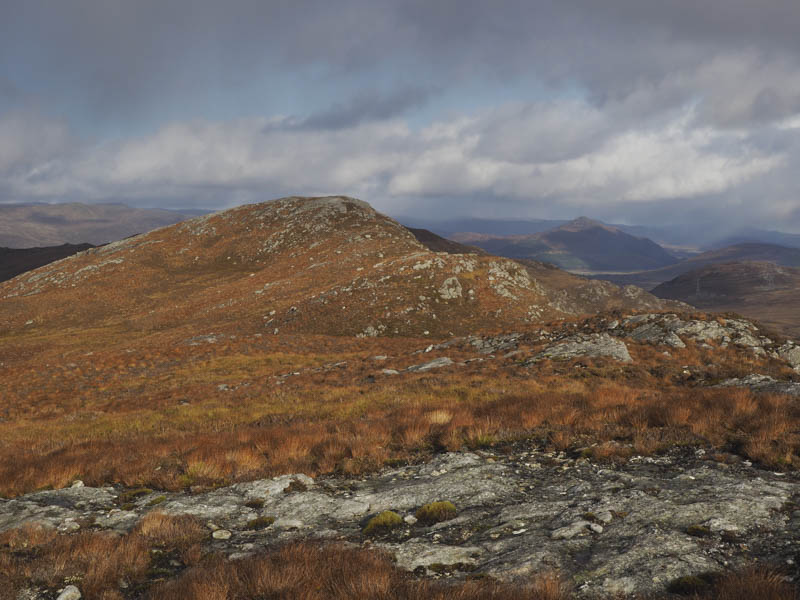
The route west below Meall nan Eagan was pathless although a line of wooden poles carrying electricity crossed the hillside. I then climbed north-west between Meall nan Eagan and its South-West Top and to the summit of the latter, a Tump, where I took a short break sheltering from a cold breeze.
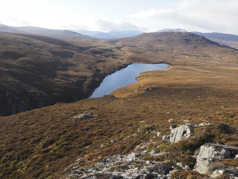
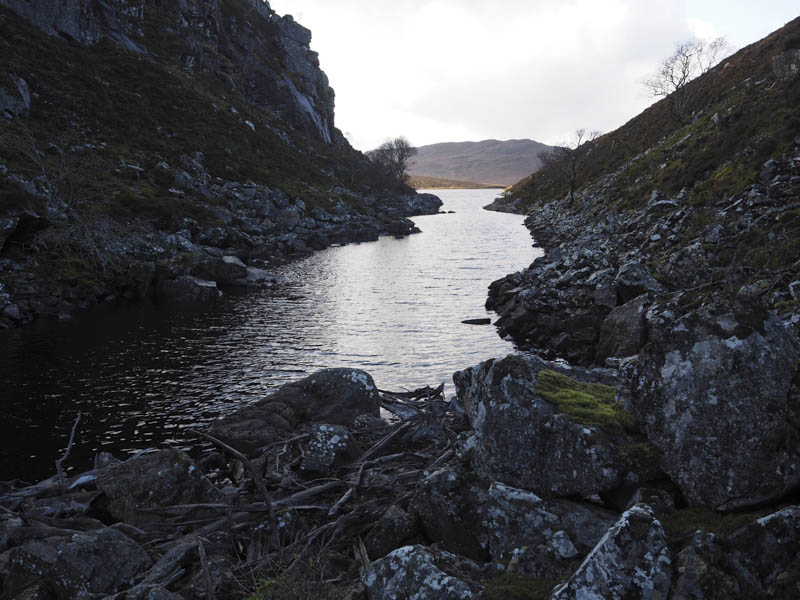
Afterwards I descended south-west to Lochan na Doire-uaine and opted to walk round its east end to access my next hill, Creag nan Adhaircean. Progress was slow along the rocky north bank and awkward at the head of the Lochan due to the enormous boulders and some old timber that had been washed up but was a bit easier on the south side where there were traces of a deer path.
The route round the west end of the Lochan although longer would probably have been easier. I then climbed through some long heather to gain the summit of Creag nan Adhaircean, a Graham Top.
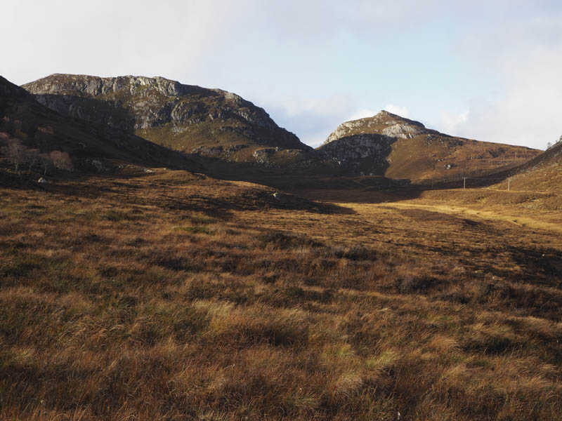
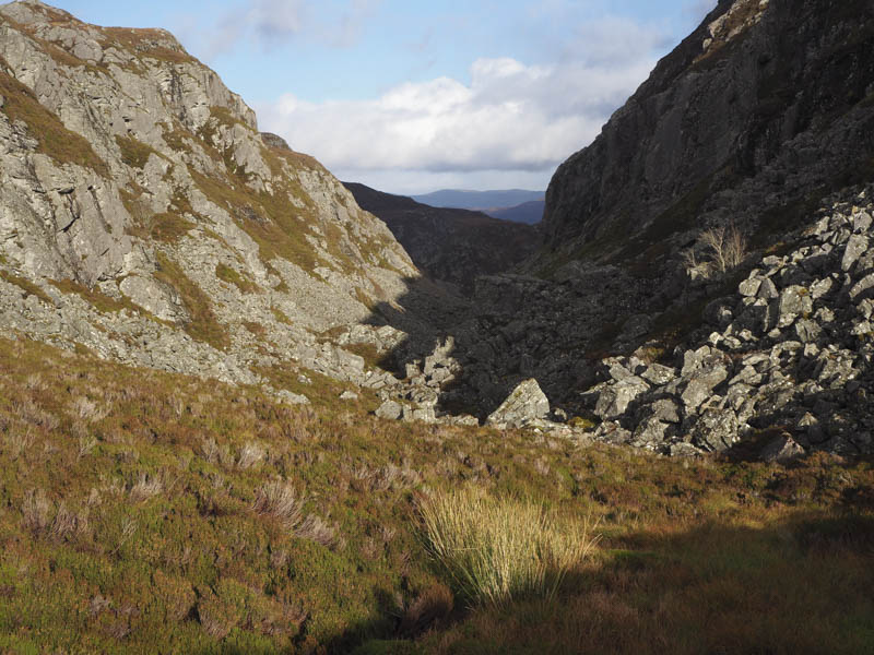
The next obstacle was the crossing of the Dirc Mhor an area of boulders with cliffs on either side. I descended south-west over the 621 and 639 metre knolls before dropping into the Dirc Mhor where a deer track took me out of the gully and onto The Fara’s NNW ridge.
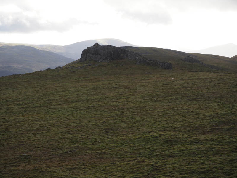
Old metal fence posts led to the large cairn and on the approach I encountered a snow shower. Prior to taking shelter behind this cairn I walked out to the summit of The Fara, a cairn perched on a rock tor.
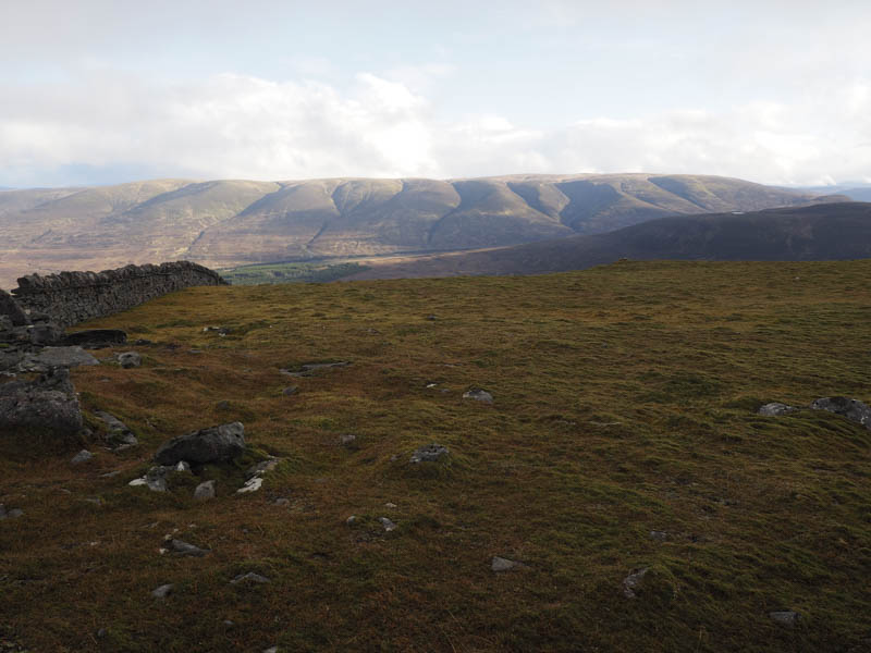
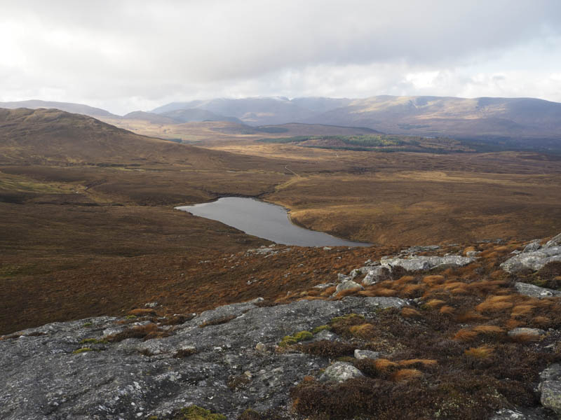
After the snow shower passed and with just a few flurries left, I descended NNE to the turning point at the end of a vehicle track.
This track was followed to the old drover’s road east of Allt-an-t-Sluic Lodge where I forded the Alltan t-Sluic then it was a short stroll back to my car.
- Time taken – 6 hours.
- Distance – 15 kilometres.
- Height climbed – 775 metres.