The Eildons – The starting point for these three hills wasn’t particularly obvious although there was a sign for the St Cuthbert’s Way on the west side of the B6359 near Melrose Town Centre. Anyway we left my car on the east side of the B6359 and walked a few metres south to a gap between a couple of buildings which turned out to be the start of the route to The Eildons as well as part of the St Cuthbert’s Way.
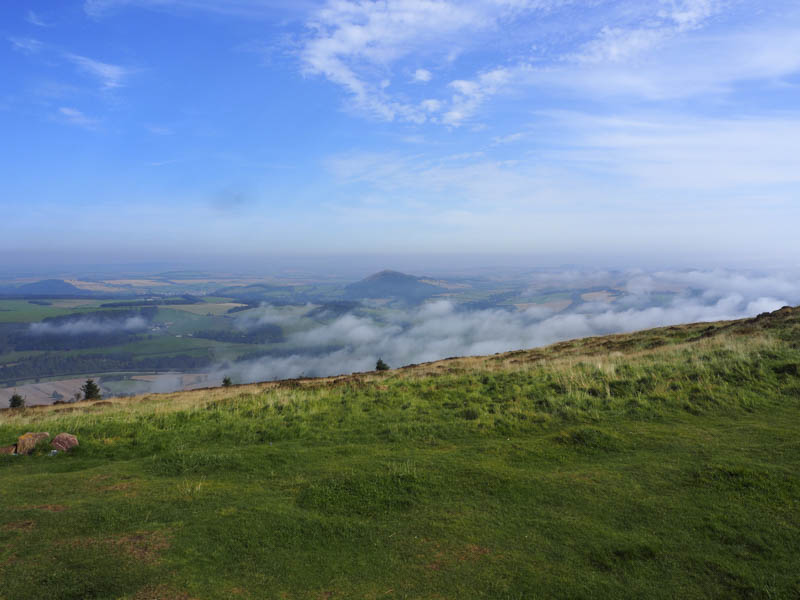
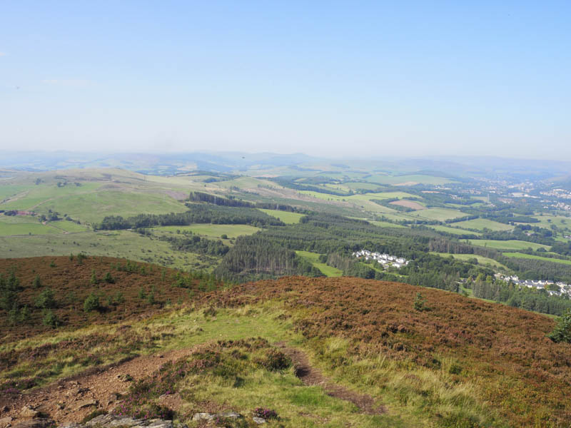
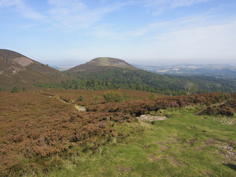
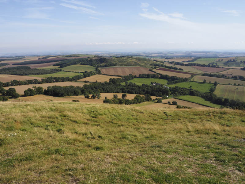
Beyond the houses the path crossed a stream then numerous wooden steps were climbed to gain the open hillside. There were a few paths to choose from but we stuck with the St Cuthbert’s Way walking south-east then south to the col between Eildon Hill North and Eildon Mid Hill. Here we left the St Cuthbert’s Way and climbed east then north-east on a well used path onto the summit of Eildon Hill North with a cloud inversion to the south. The highest point of this Tump was marked by a cairn.
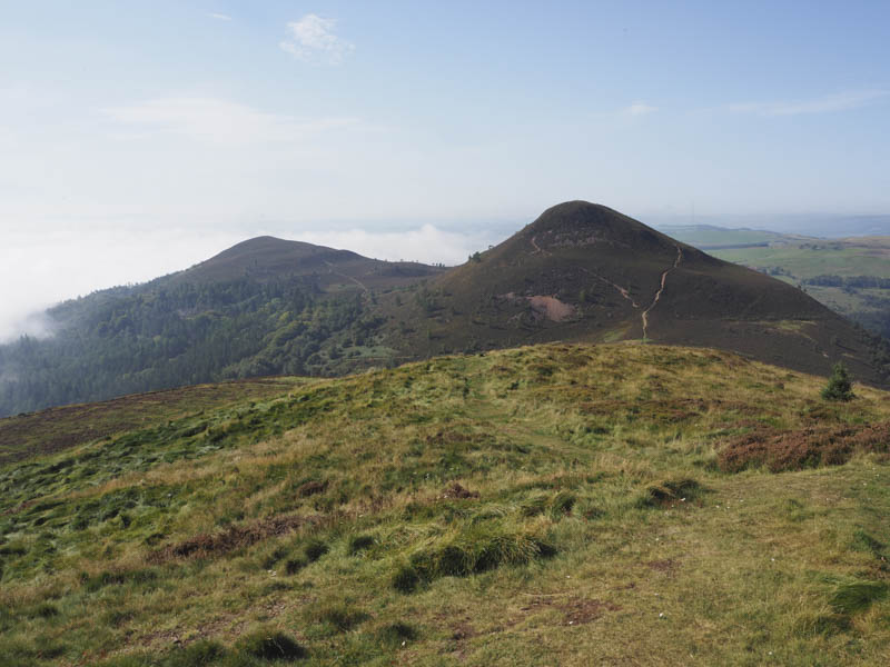
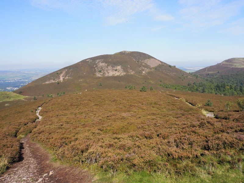
After an extended break sitting around and enjoying the sunny conditions we returned to and crossed the St Cuthbert’s Way. It was then a fairly steep climb in warm conditions onto the summit of the Sub 2K Marilyn, Eildon Mid Hill, marked by a viewpoint near the trig point.
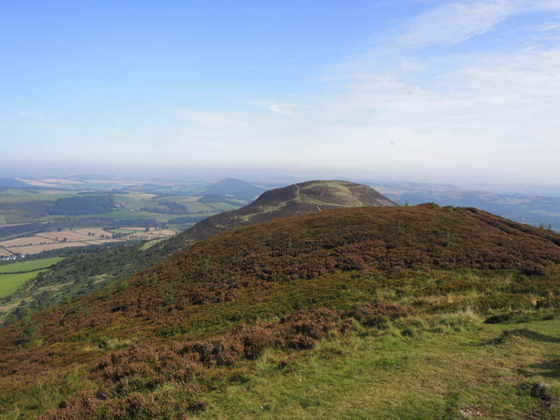
The descent south-west from Eildon Mid Hill was on a fairly rough stony path followed by an easy ascent south-east onto the summit of the Tump, Eildon Wester Hill, marked by a cairn.
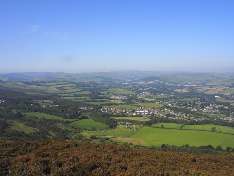
From there a descent south then south east on paths took as to the St Cuthbert’s Way south of the point where we had left it earlier to climb Eildon Hill North. This ‘Way’ was then followed back to Melrose.
Black Hill – From Melrose I drove north on the A68 to Earlston then south on the B6356 parking on the east side of this road beside the signpost for Black Hill.
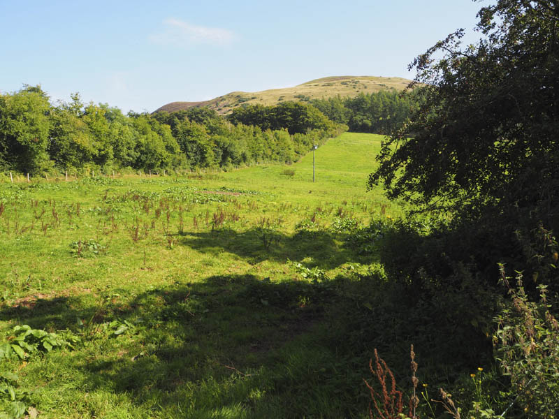
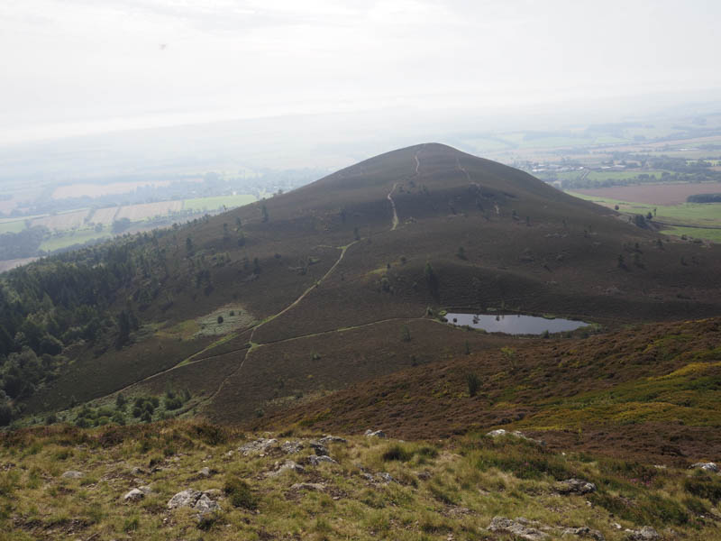
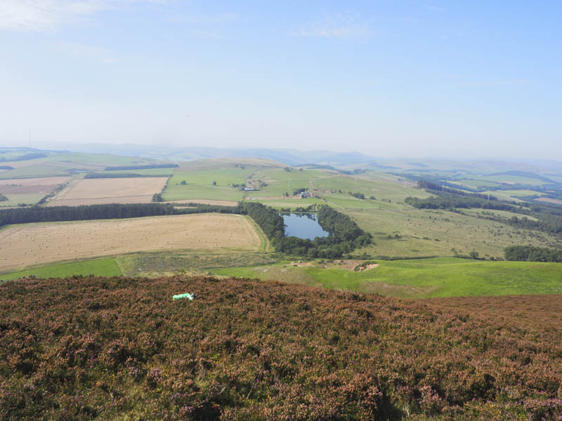
A path led north-east to the farm at Cowdenknowes Mains then south to below Black Hill. It was followed by a steep climb on a path, in warm conditions, onto the summit of the Sub 2K Marilyn, Black Hill, marked by the trig point.
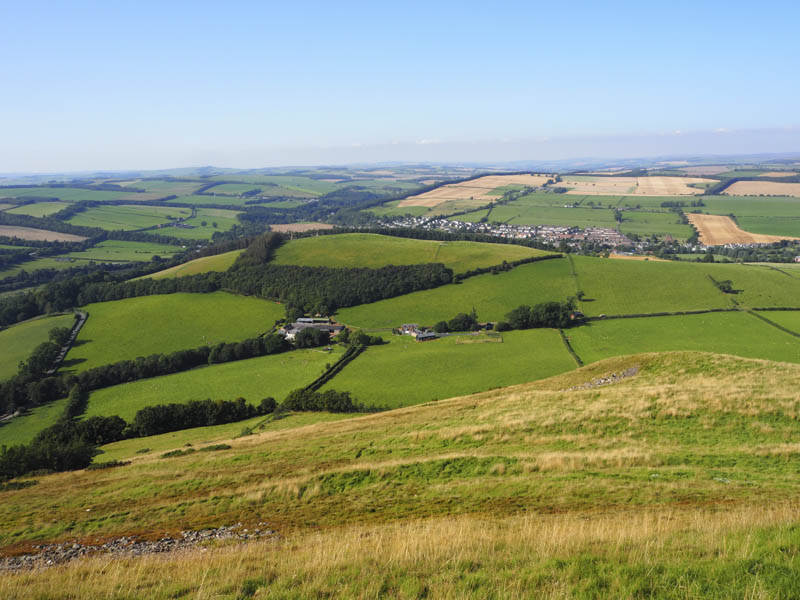
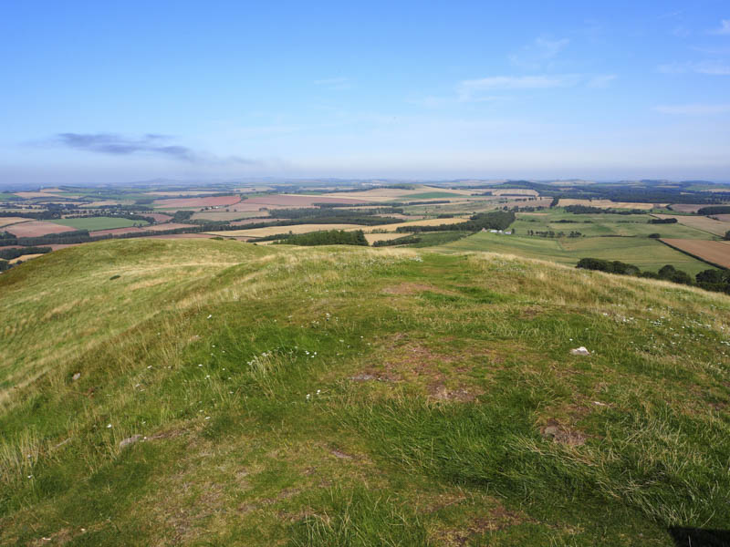
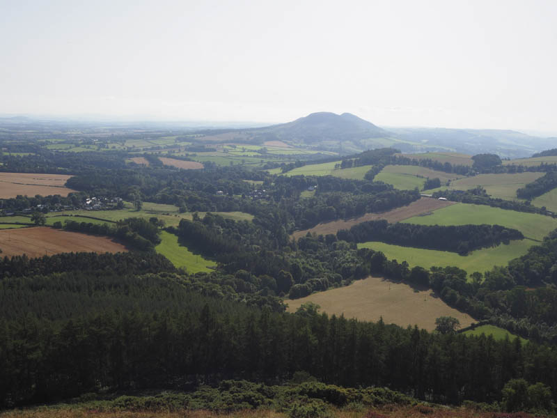
It was very warm on the summit with little in the way of a breeze so we sat here for some time before returning by the upward route.
- Total time taken – 5 hours.
- Total distance – 9.25 kilometres.
- Total height climbed – 710 metres.