The plan was to climb the Munros, Stob a’ Coire Mheadhoin and Stob Coire Easain, commonly known as The Easains, from Fersit, a small hamlet south of the A86 road between Roy Bridge and Tulloch Station. At the end of the single track public road and before entering Fersit was an area of rough ground large enough to be used as a turning circle and for parking.
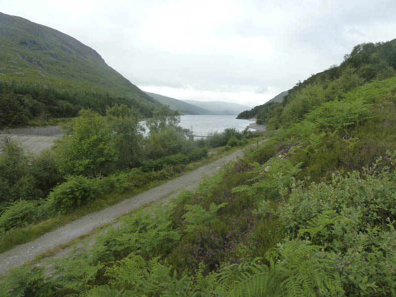
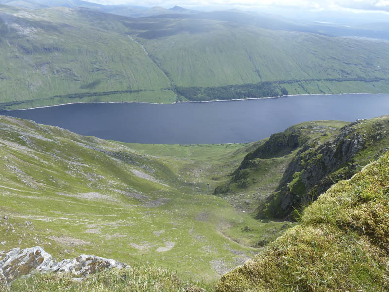
We set off along the vehicle track leading to the dam at the north end of Loch Treig then at a junction of tracks took the higher one until the point where it began to descend back towards the dam.
![Loch Treig](https://scotlandhills.net/wp-content/uploads/2021/04/01-Loch-Treig.jpg)
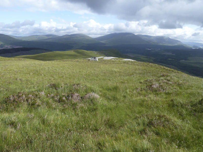
Here we headed uphill on a muddy path to a concrete pillar below Meall Cian Dearg.
![Glean Spean. Beinn Teallach and Beinn a' Chaorainn beyond](https://scotlandhills.net/wp-content/uploads/2021/04/02-Glean-Spean.-Beinn-Teallach-and-Beinn-a-Chaorainn-beyond.jpg)
![Approaching Meall Cian Dearg](https://scotlandhills.net/wp-content/uploads/2021/04/03-Approaching-Meall-Cian-Dearg.jpg)
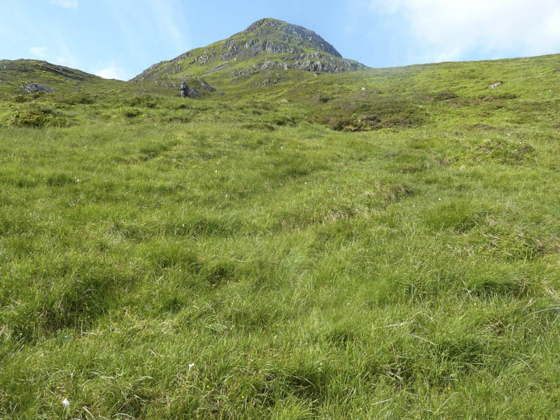
The path then steepened considerably and there was some erosion. On reaching a small cairn the gradient eased as the earlier brightness was replaced by cloud and with the first shower of the day.
![Grey Corries](https://scotlandhills.net/wp-content/uploads/2021/04/04-Grey-Corries.jpg)
![Dotterel](https://scotlandhills.net/wp-content/uploads/2021/04/05-Dotterel.jpg)
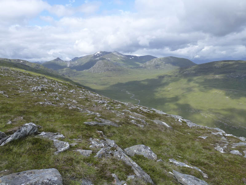
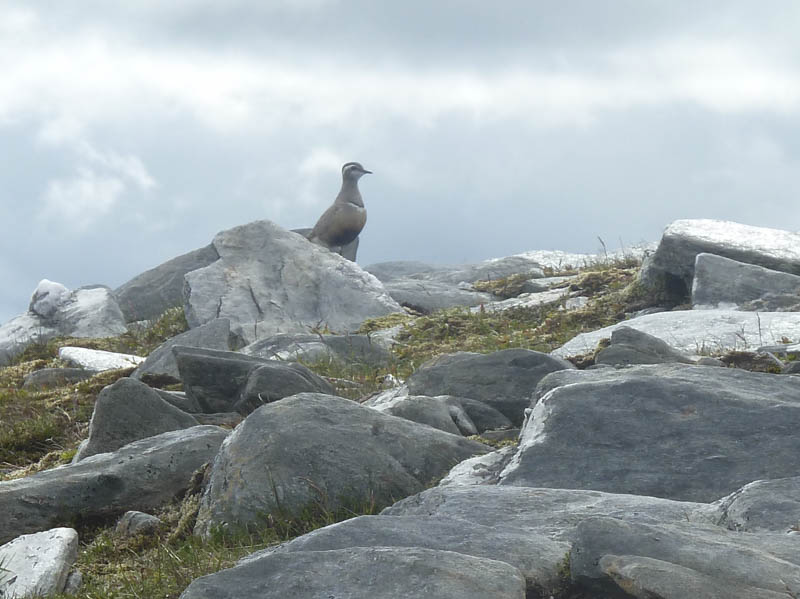
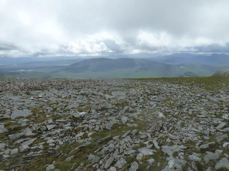
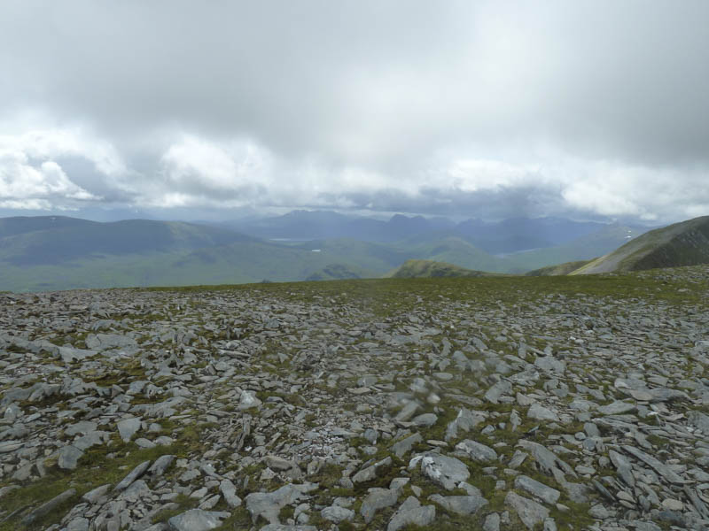
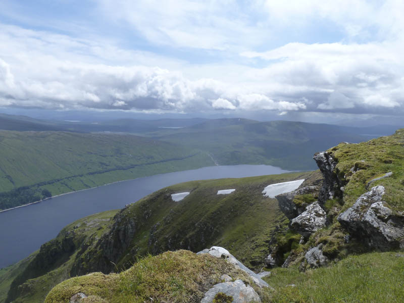
Further on the gradient increased again as we walked round the head of Coires Aluinn and Meadhon, avoiding a large snow patch, to reach the summit of Stob a’ Coire Mheadhoin, marked by a cairn.
![Approaching summit of Stob a' Choire Mheadhoin](https://scotlandhills.net/wp-content/uploads/2021/04/06-Approaching-summit-of-Stob-a-Choire-Mheadhoin.jpg)
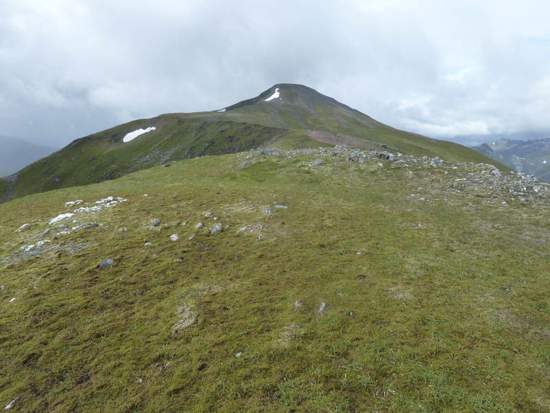
Unfortunately the cloud had lowered so with no views we descended to the col with Stob Coire Easain and this was followed by a steady climb on a rocky path with loose stones to reach the cairn marking the summit of Stob Coire Easain.
![Stob Coire Easain](https://scotlandhills.net/wp-content/uploads/2021/04/07-Stob-Coire-Easain.jpg)
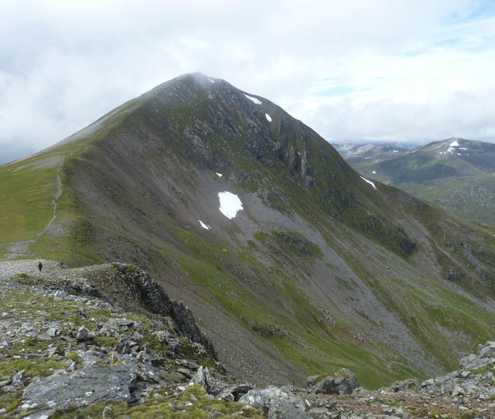
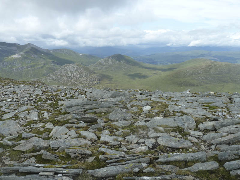
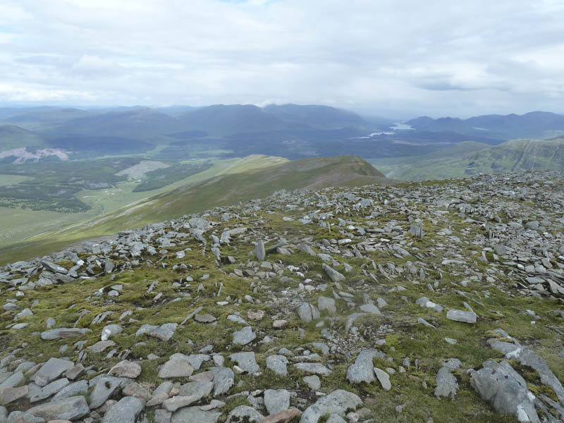
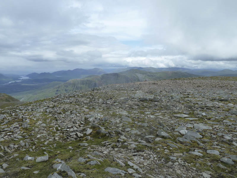
We sat here in the rain, low cloud and some hail hoping that it would clear but it didn’t so returned to Fersit by the upward route with some views on the re-ascent of Stob a’ Coire Meadhoin.
![Leum Uilleim](https://scotlandhills.net/wp-content/uploads/2021/04/08-Leum-Uilleim.jpg)
![Mamores in the distance](https://scotlandhills.net/wp-content/uploads/2021/04/09-Mamores-in-the-distance.jpg)
![Cruach Innse, Sgurr Innse and Cnap Cruinn](https://scotlandhills.net/wp-content/uploads/2021/04/10-Cruach-Innse-Sgurr-Innse-and-Cnap-Cruinn.jpg)
![North-East Ridge Stob a' Choire Mheadhoin and Glen Spean](https://scotlandhills.net/wp-content/uploads/2021/04/11-North-East-Ridge-Stob-a-Choire-Mheadhoin-and-Glen-Spean.jpg)
![Stob Coire Sgriodain and Chno Dearg](https://scotlandhills.net/wp-content/uploads/2021/04/12-Stob-Coire-Sgriodain-and-Chno-Dearg.jpg)
![Coire Aluinn and Loch Treig](https://scotlandhills.net/wp-content/uploads/2021/04/13-Coire-Aluinn-and-Loch-Treig.jpg)
![Loch Treig and towards Corrour](https://scotlandhills.net/wp-content/uploads/2021/04/14-Loch-Treig-and-towards-Corrour.jpg)
![Dwarf Cornel](https://scotlandhills.net/wp-content/uploads/2021/04/15-Dwarf-Cornel.jpg)
![Dragonfly](https://scotlandhills.net/wp-content/uploads/2021/04/16-Dragonfly-1.jpg)
- Time taken – 7.75 hours.
- Distance – 15.5 kilometres.
- Height climbed – 1200 metres.