I left my car at the start of the vehicle track leading to Silverfoot, at the junction with the B9002 Cabrach to Lumsden Road, and walked briefly north-west along this road to an old vehicle track which ran west through the heather. The track was initially obvious but later became less so as it now appeared to be only used by the occasional walker.
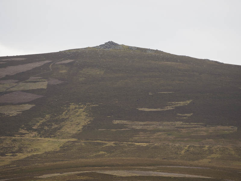
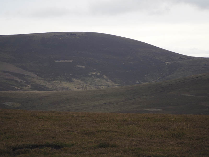
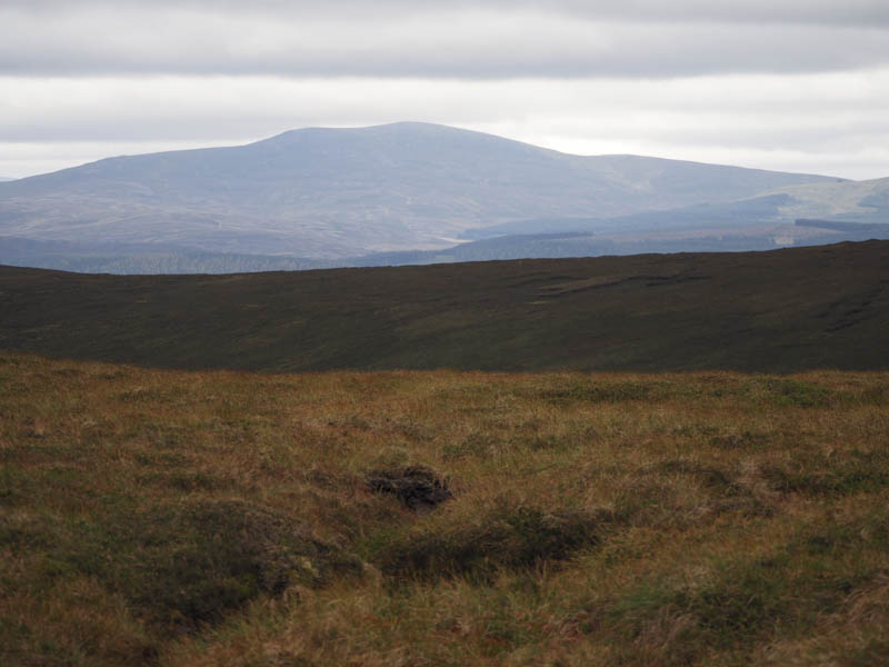
This took me to a boggy area beside old fence posts where I joined the path that came in from the B9002 slightly further to the west. The path up the edge of the fence posts was quite wet due to the snow from a couple of days ago which had mostly melted. High up the path was a bit dryer and led to the rocky summit of The Buck. The highest point of this Graham was a boulder north of the trig point. It was windy here making it difficult to hold the camera still while taking photos.
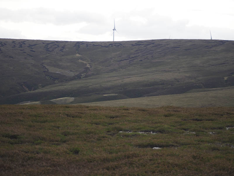
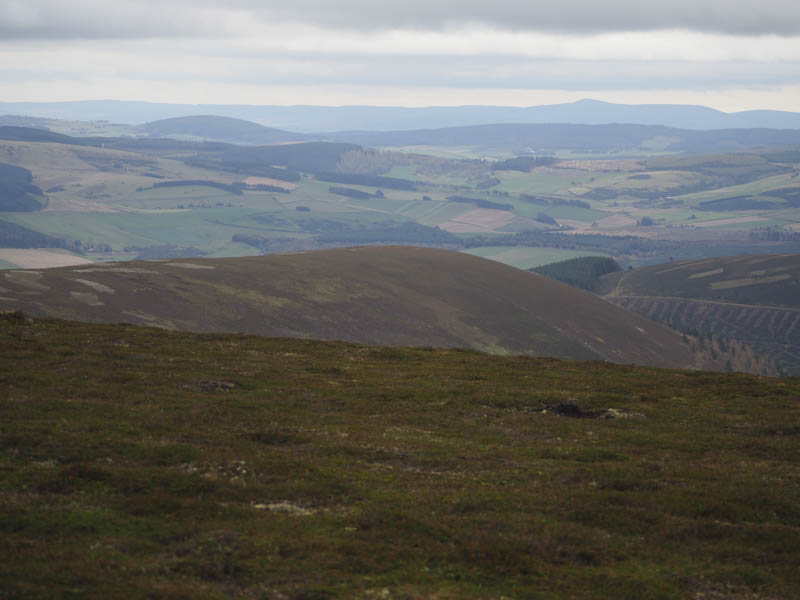
I descended west to join a vehicle track that led to the Kindy Burn, firstly crossing the Burn of Smallsaughs, both with a reasonable flow due to the snow melt although neither caused any problems. A vehicle track was then followed south along the west bank of the Kindy Burn to a junction of tracks where I took a right, west, and headed across Blairlick Hill before turning south-west. At another track junction I took a left and climbed south across the east side of Sand Hill. Later a quad vehicle track headed west passed several shooting butts to the summit of this Sub Dodd, the highest point appeared to be the grassy/heathery tops of one of two peat hags.
The rest of the walk was pathless. I descended south then climbed through heather and peat hags to Dun Mount before heading north-east through numerous peat hags using the base of some to make for easier progress onto Mount Meddin.
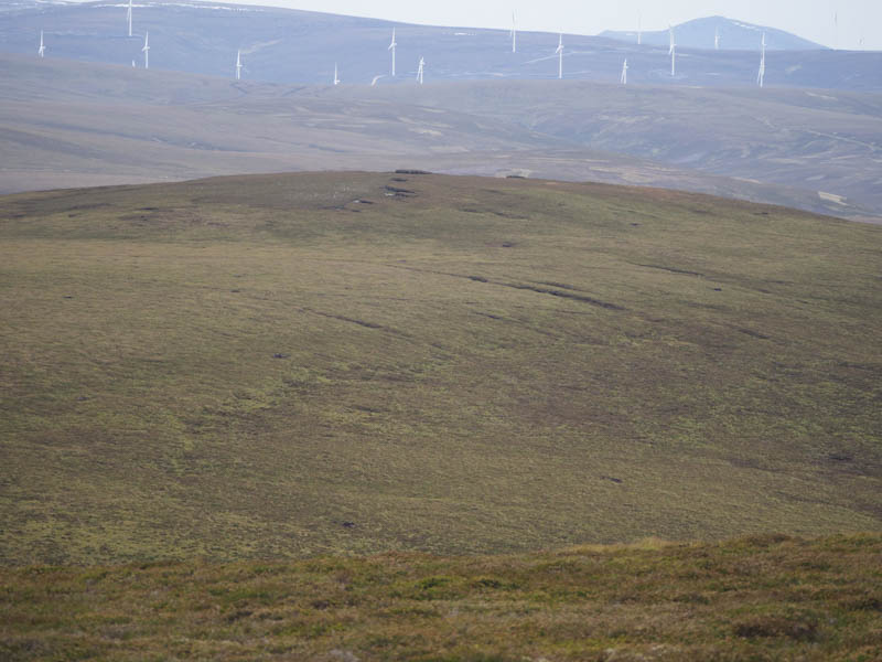
From there I headed through more rough vegetation and peat hags onto Hill of Snowy Slack. The summit of this Sub Dodd appeared to be a small heathery knoll.
I then descended north to the wet col between Hill of Snowy Slack and Kebbuck Knowe. The ascent of this Sub Simm was through heather. Part way up there was a stock fence preceded by an electric wire which I managed to crawl under before crossing the stock fence. It was then a steady climb to the summit of Kebbuck Knowe, the highest point being beside the fences.
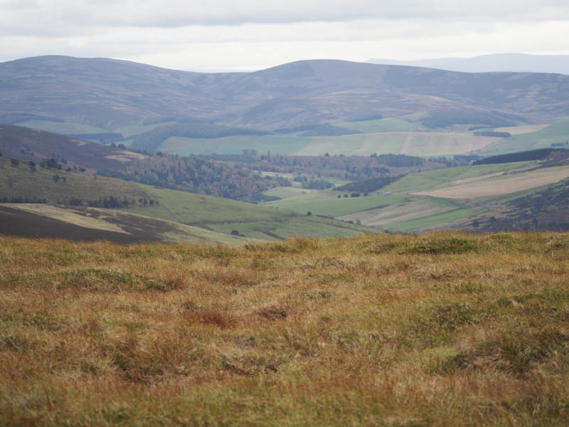
Once through a gate in the fence I followed the stock and electric fences north-east noting that the electric wire had a break in it so was probably ineffective. I later crossed the Burn of Buck and re-crossed the fences to reach Craigenscore Hill where I took a break sheltering from the wind behind boulders. Thereafter the descent continued north-east through the roughest vegetation I encountered that day including some wet ground. Eventually I reached the vehicle track beside the property at Silverford then it was a short walk back to my car.
- Time taken – 6 hours.
- Distance – 16 kilometres.
- Height climbed – 785 metres.