Staying near Braemar and with a good weather forecast I decided to climb the tors on Ben Avon. While researching the hill bagging web site (https://www.hill-bagging.co.uk/) I noticed that I had an unclimbed minor hill to the north-west of Carn na Drochaide so decided to include it on this walk. (mistake)
I parked at the Linn of Quoich, walked the short distance north-east to the bridge across the Quoich Water, then along a path on the east side of the burn. This led to a house where I climbed an embankment to join a vehicle track located to the south-west of Carn na Drochaide.
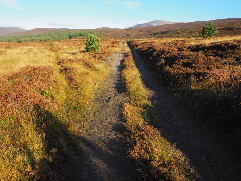
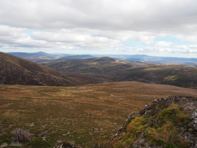
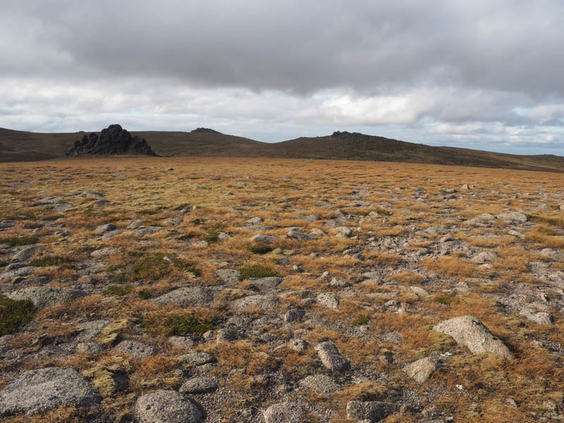
I followed this track NNW to its end at NO10299380 then it was through some long heather and bog to the summit of the Sub Simm, Carn Elrig Mor, marked by a cairn.
The descent north-east was initially across short vegetation before dropping down to the south bank of the Quoich Water. On the lower stretches of this descent the long heather made it hard work and the underfoot conditions didn’t improve as I headed north-east along the south side of the stream.
I had thought there might have been a path here but it didn’t materialise. I later reached the path that climbed north-west onto Beinn a’ Bhuird but continued north-east soon joining a vehicle track heading north up the east side of the burn.
This track later crossed the burn but I stayed on its east side walking through rough terrain and vegetation. The path I should have been on was around a hundred metres to the east. However further up the glen I joined this path and made better progress.
On reaching the Glas Allt Mor the path had been altered to a dog leg taking me away from the burn before returning to it below the waterfall.
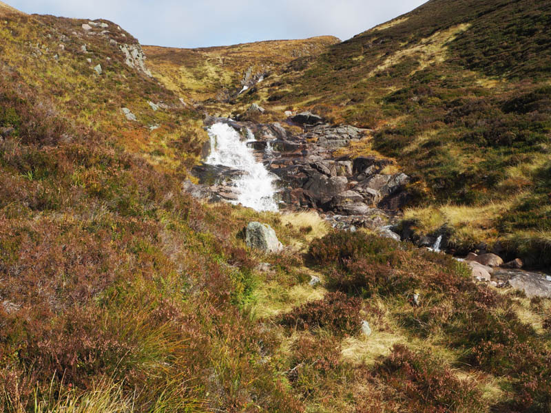
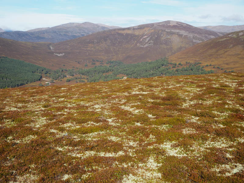
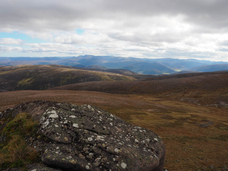
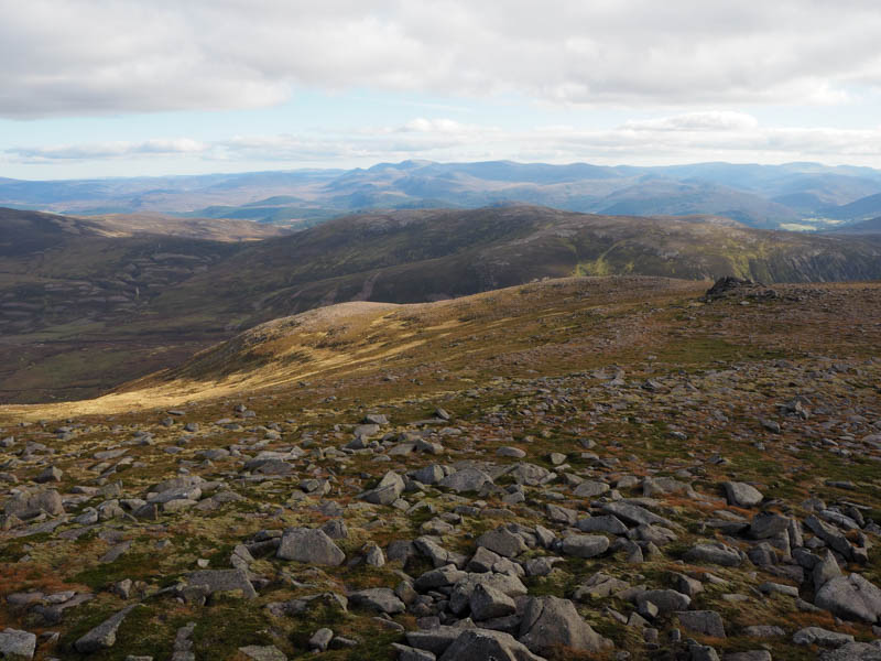
The path then continued up the west side of the Glas Allt Mor but deteriorated higher up with some wet and boggy sections before arriving at The Sneck.
It had taken me around 4.5 hours to reach this point but there was still a climb east then north-east to reach Ben Avon West Top. The summit of this Sub Simm was just a cairn at the side of the path meaning I had been at this minor top before.
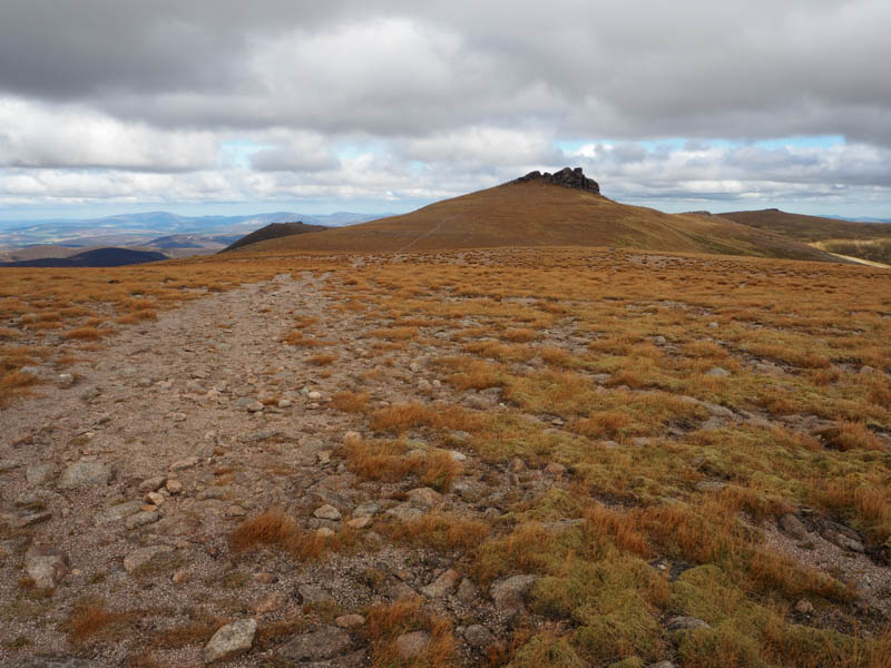
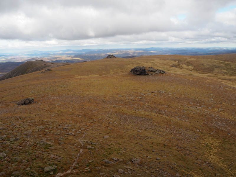
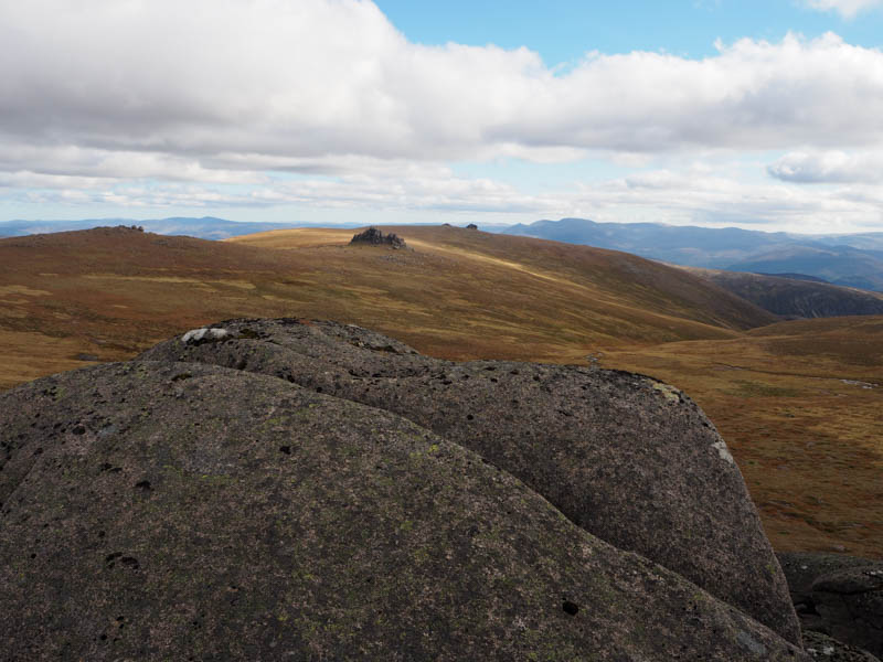
From there I descended SSE and climbed onto Ben Avon South Tor where I had lunch.
Afterwards I continued SSE onto Stob Dubh an Eas Bhig, a deleted Munro Top, the highest point being another tor.
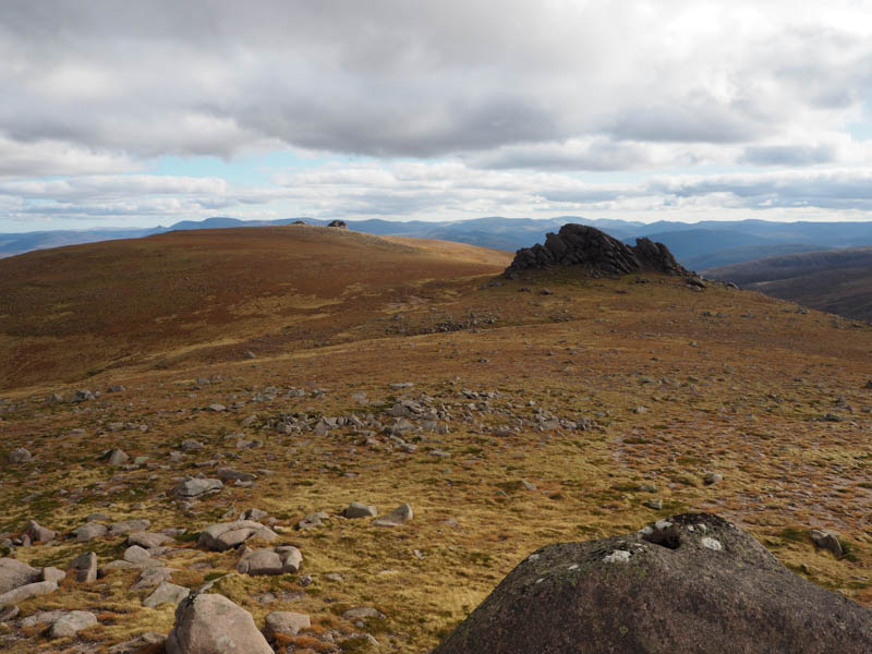
I returned north to the east of the South Tor and climbed the tor, Leabaidh an Daimh Bhuidhe, the highest point on Ben Avon and classified as the Munro.
Thereafter I headed north-east onto Ben Avon North Tor.
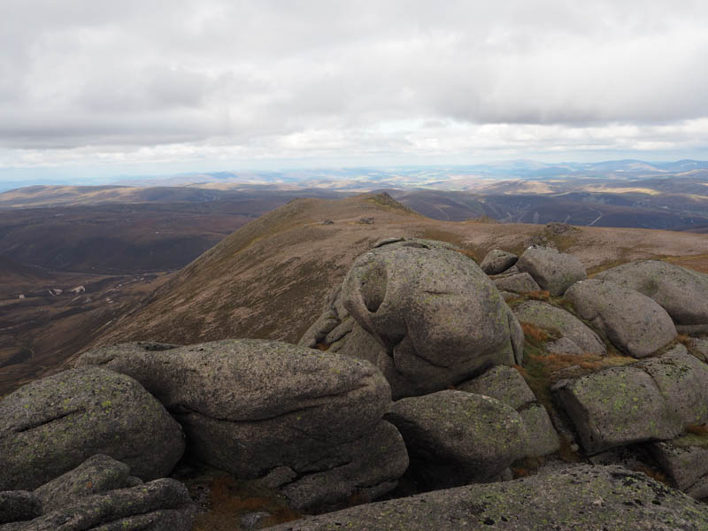
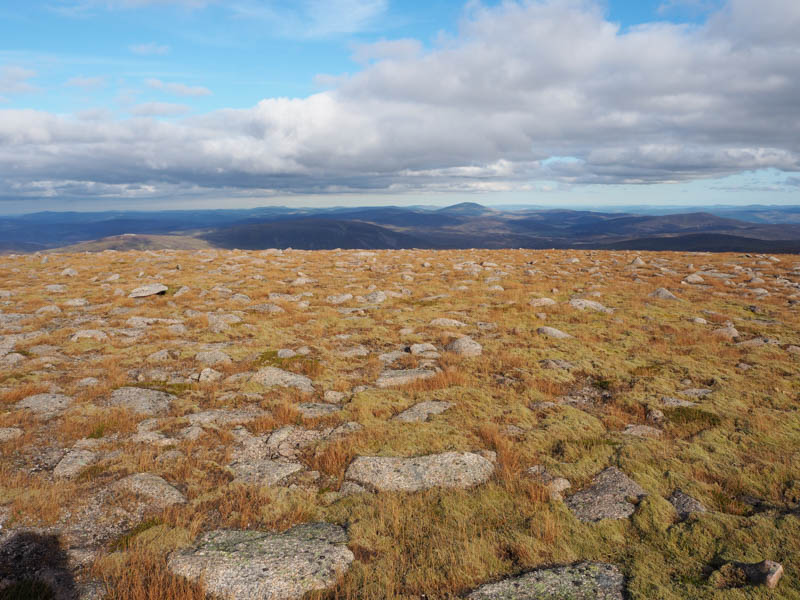
I had planned to include the deleted Munro Top, Stob Bac an Fhurain which was off to the north but time was marching on and the out and back route would probably have added well over half an hour to what was going to be a late finish. I decided to give it a miss and headed east then south-east onto the tor marking the summit of the Sub Simm, Mullach Lochan nan Gabhar.
It was then onto the Sub-Simm, Clach Choutsaich. I managed part way up this tor but decided that getting back down from the actual summit would have caused a few problems. I therefore retreated and headed out to the deleted Munro Top, Stuc Gharb Mhor, the summit marked by an embedded rock.
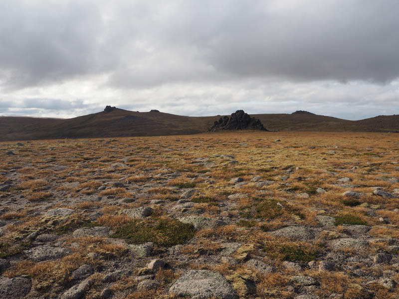
The final tor of this outing was a short distance to the south, the now Sub Simm, Stuc Gharbh Mhor. (deleted Munro Top – see above)
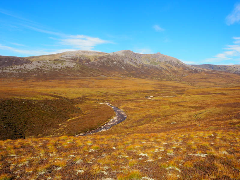
It was now time to head back to the start. I descended in a southerly direction, a bit bouldery and steep in places, to a little used path on the east side of the Allt an Eas Mhoir.
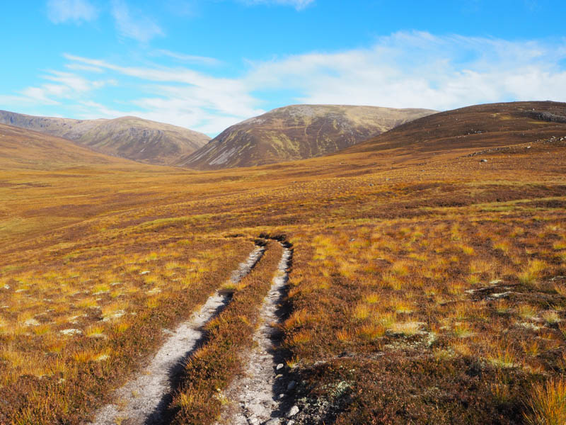
This path turned east then south-east before joining the path on the north side of the River Gairn. I followed it south-west as it ran between Creag an Dail Mhor and Creag an Dail Bheag gaining a bit of height. Beyond this gorge and at a boggy area I lost the line of the path for a time.
Once I regained the path which was in a better state now than before the bog and made the walking easier as I headed to and joined the Ben Avon path north-west of Meall an t-Slugain. From there I would have preferred to head to and along the Quoich Water but from my earlier experience with the long heather and no path I followed the path to and through Gleann an t-Slugain. This was taking me in a south-easterly direction and away from the Linn of Quoich.
As darkness fell I joined the vehicle track that ran between Keiloch and the Linn of Quoich at a point west of Alltdourie. The head torch was required as I headed through the trees but the batteries began to die. I was carrying spares but on clearing the trees the moon occasionally made an appearance and the track surface was covered in light coloured stone making a change of batteries unnecessary. The track took me passed a couple of cottages before reaching the bridge over the Quoich Water and the car park almost 13 hours after I set out from there.
- Time taken – 12 hours 55 minutes.
- Distance – 36.5 kilometres.
- Height climbed 1285 metres.