The starting point for this walk was the hamlet of Tarvie, accessed along a single-track road from the A835 Contin to Garve Road west of Rogie Falls. At a ‘T’ junction I continued straight ahead to a ford and the end of the public road. There was parking here for a few cars.
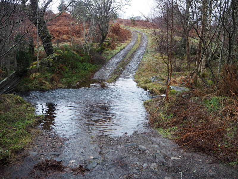
I set off on foot, crossed the outflow from Loch Ruith a’ Phuill via a stone footbridge, and walked along the vehicle track, muddy in places, to the croft at Druim-cruaidh. It didn’t appear occupied although there was a vehicle parked beside the house. Anyway, I bypassed it to the north passing a couple of outbuildings and some construction work with a few tools lying around. To avoid a loss of height I headed north-east through heather and dead bracken then west beside a stock fence with traces of a path of sorts, most likely animal.
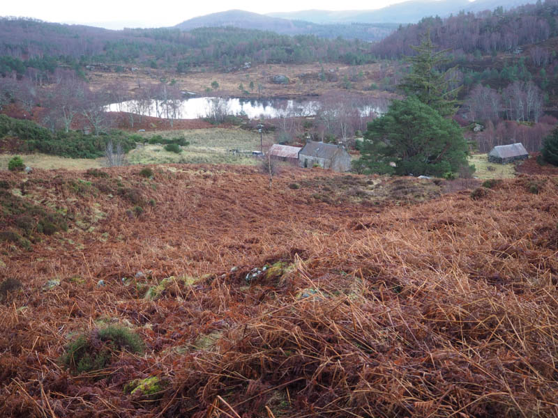
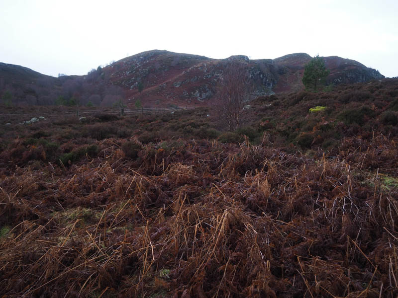
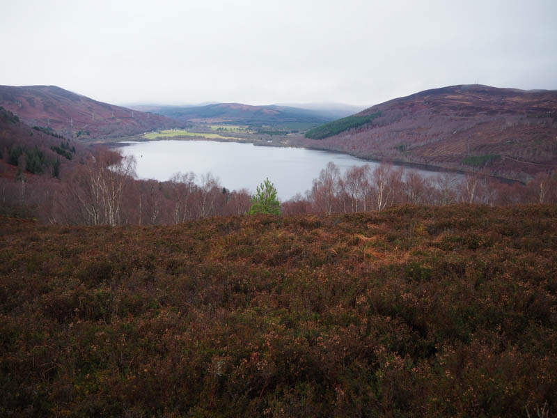
To avoid another dip and crags beyond I crossed the stock fence and headed south-west through some swampy ground then another path led through the crags. It was a steep climb north-west, still on animal tracks, before the gradient eased. I came across a deer fence with no obvious crossing points so clambered over it followed by another steep climb onto the north-east ridge of Creag a’ Chaoruinn and to its summit.
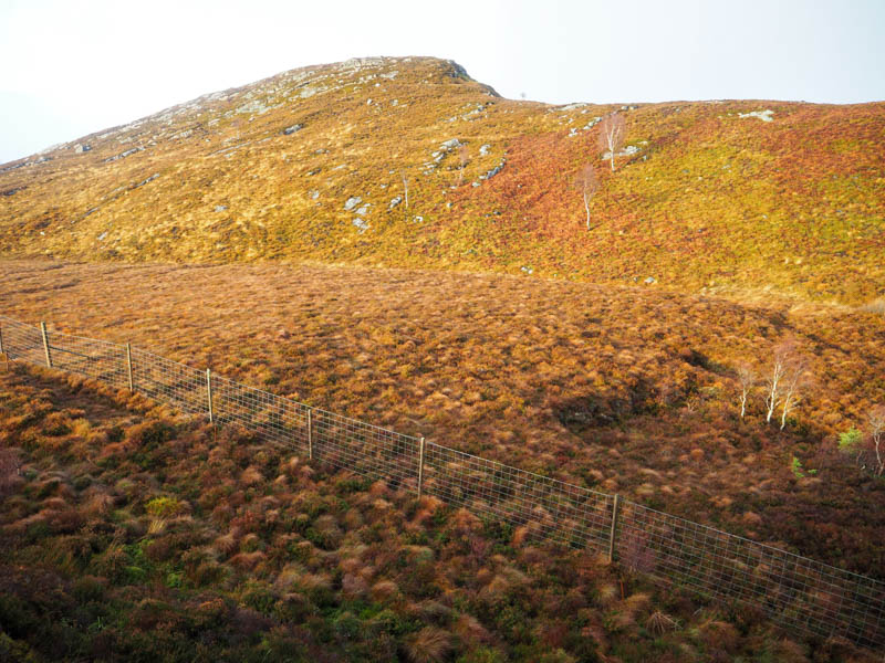
The highest point of this Tump was either the cairn or a nearby outcrop. Contrary to the weather forecast there had been little in the way of wind and in fact it was calm on this top, so I sat around for a while with the sun breaking through the cloud. It was mild for the time of year.
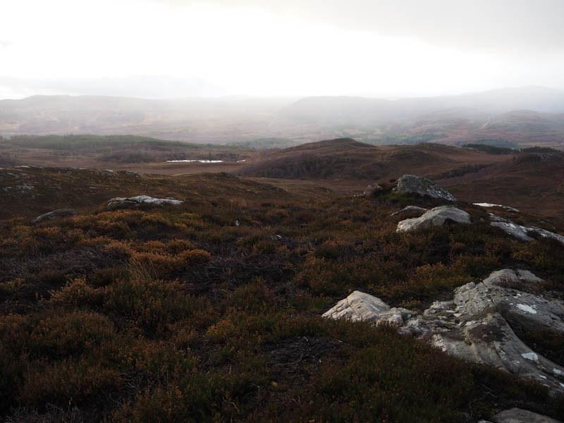
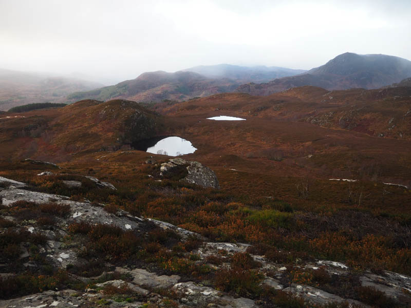
Descended south-west and came across a collapsed section of the deer fence, a bonus, then lower down headed west through some well-spaced birch trees and easily over the outflow from Loch a’ Bhodaich. It was then an easy climb to the summit of the Tump, Carn Loch a’ Bhodaich, marked by a cairn on an outcrop.
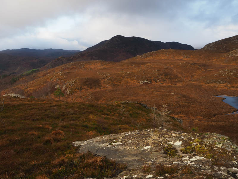
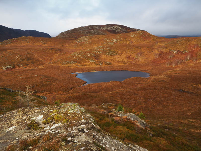
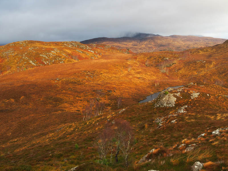
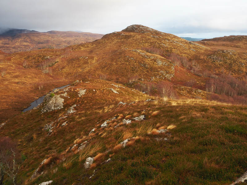
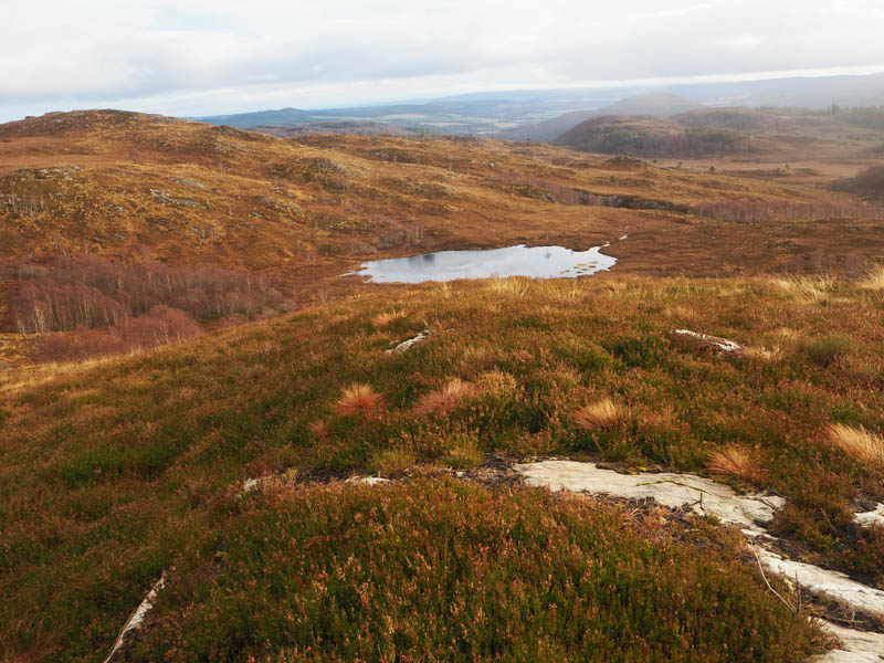
With the weather forecast for some rain and strong winds I had planned from this point to return to my car but with the bright conditions and now a light breeze I decided to add on a couple more hills. I therefore descended south-east to the outflow from Loch na Caillich then underfoot it was rather rough going, fortunately the bracken was dead, went below some crags and crossed the outflow a couple of times. I climbed south-east through more birch trees and onto the summit of Sron a’ Chomair, well its North Top. (According to the hill bagging web site the South Top is the summit so couldn’t count it as being bagged)
The descent south through the birch trees was steep and rough underfoot with quite a bit of fallen timber. Some soggy ground was crossed then it was a steep climb, avoiding the crags, onto Carn an Daraich where I visited a few possible highpoints.
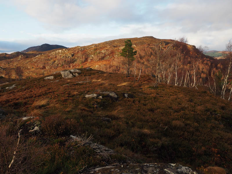
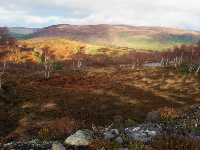
Afterwards I descended north-east through more of the same rough vegetation to reach the east end of Loch Ruith a’ Phuill where there was a path and a stock fence to cross.
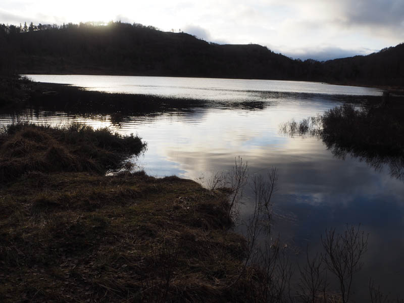
This led to a gate then a vehicle track along the south side of the outflow from the loch. A short section of track took me to a stock gate beside the road end and my car.
- Time taken – 3 hours 45 minutes.
- Distance – 4 kilometres.
- Height climbed – 350 metres.