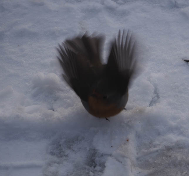
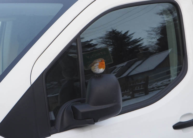
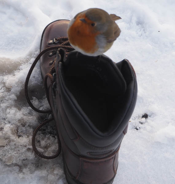
The start for my ascents of Creag na h-Iolaire and Pullar Cuy, was the hamlet of Tarfside in Glen Esk, Angus. On gearing up in the car park there, a robin came within touching distance and also went into the back of my car probably looking for something edible on this frosty Christmas Morning.
I then walked west across the bridge over the Water of Tarf then north along the road signposted Milton. I soon left this road and continued north through the woods on a vehicle track leading to Baillies Farm.
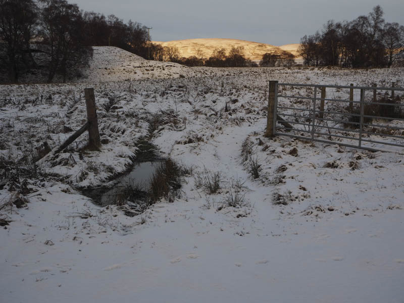
Once across the bridge over the Burn of Milton and beyond Burnfoot I was onto the open hillside where the track had a covering of snow.
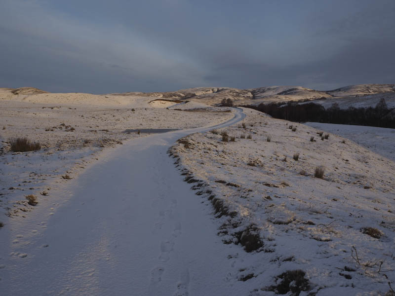
Further on there were several snow drifts and on approaching Baillies Farm the snow was a bit deeper making for slower progress.
Beyond the farm, which appeared unoccupied, I passed through an area where trees had been planted for wildlife. Later on the track descended to the ford at the Water of Tarf.
This crossing point wasn’t suitable so I worked my way a short distance upstream to a point where it was wider and split briefly.
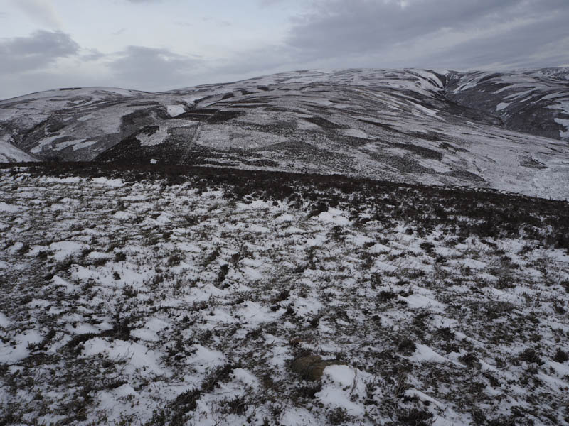
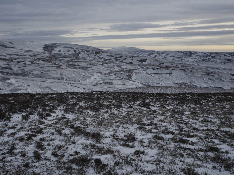
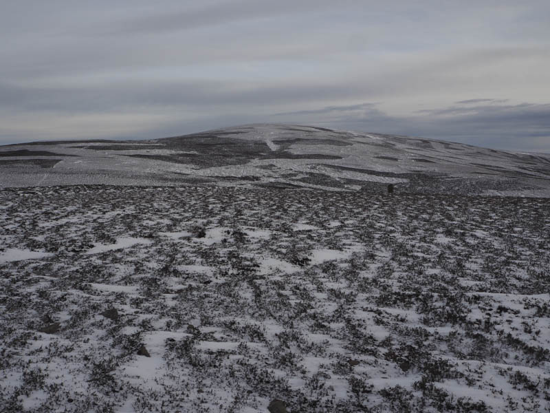
Once across with dry feet I walked north-west along an unmapped vehicle track before leaving it and climbing through the snow covered heather, of various lengths, to a stock fence which was followed north-west towards Creag na h-Iolaire. Prior to reaching the summit of this Tump I was confronted by a twin electric fence with triple wires but by using my survival bag I crossed it without being shocked. It was then a short walk to the summit cairn where I took a break in calm conditions.
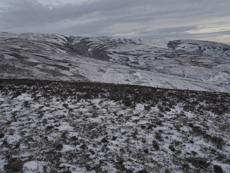
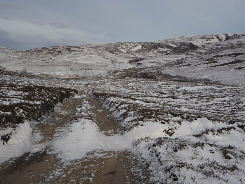
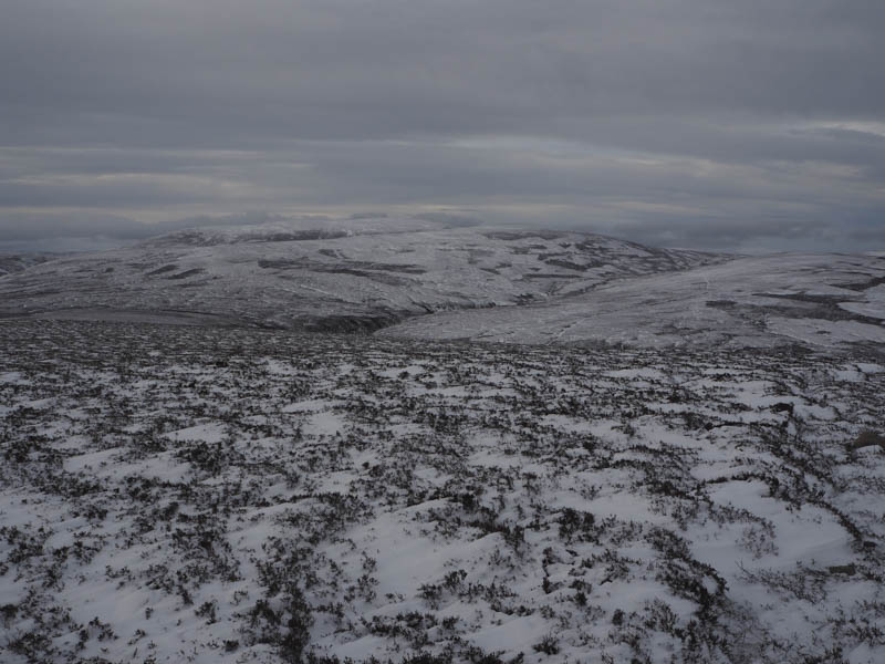
I thereafter descended north to a col where I crossed the electric fence and the stock fence which was now topped with an electric wire. I climbed north-east through more snow covered heather to the vehicle track below Hill of Corn. Here I passed through a stock gate and continued along the vehicle track as it descended to and crossed the Burn of Adedazzle. The vehicle track then ran below the south and west sides of Pullar Cuy gradually gaining height.
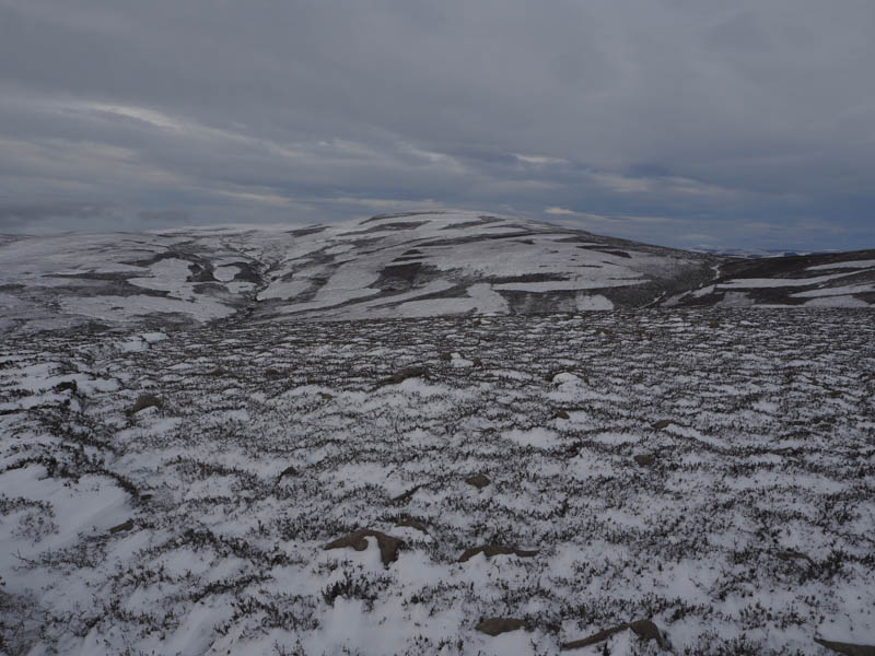
At its highpoint on the west face of Pullar Cuy a vehicle track climbed east but it was filled with snow so I walked up the side of it then along a snow covered ATV track to the summit of this Sub Simm. I didn’t think the cairn marked its highest point which I couldn’t determine.
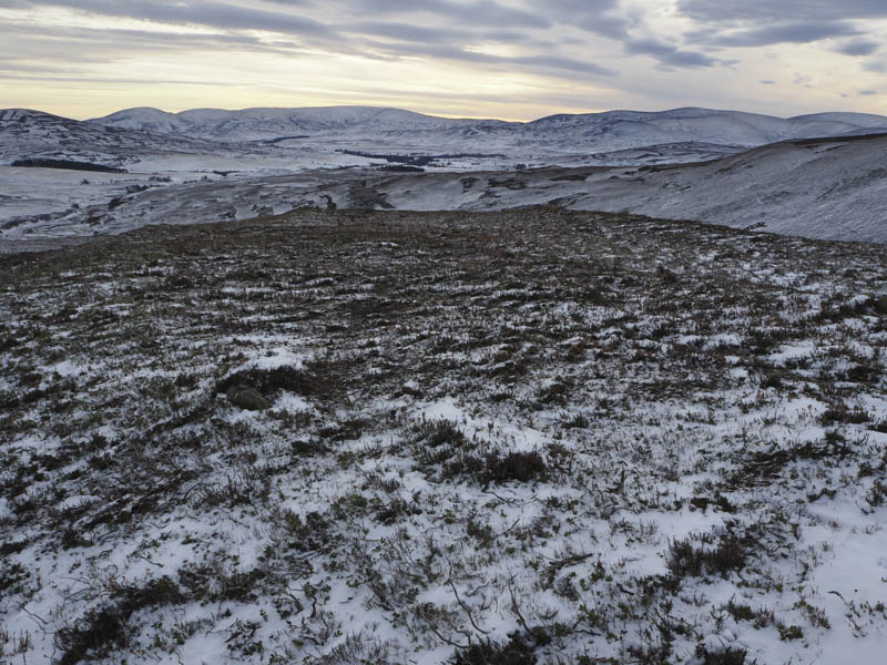
There was now a cool breeze and with no shelter I returned to the vehicle track on the west side of the hill and used it to descend to the Shielings in Glen Cat where I stopped for lunch.
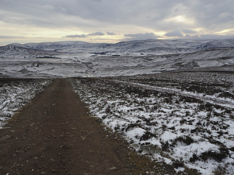
Thereafter I continued to the crossing point on the Water of Tarf before returning to Tarfside by the outward route.
- Time taken – 6 hours.
- Distance – 18.5 kilometres.
- Height climbed – 665 metres.