The forecast was for a sunny day so headed to Fort Augustus then east along the B862 to the start of the Glen Doe vehicle track, also the access route to Stronelairg Wind Farm and the Glen Doe Hydro Scheme. Parked beside the pedestrian gate and while getting ready several work vehicles passed through the gates and up the glen.
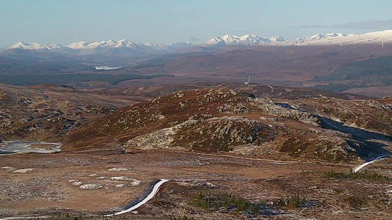
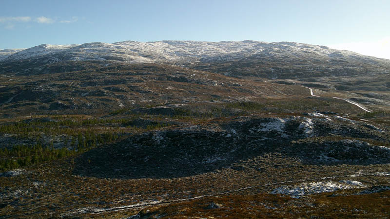
The wide vehicle track, covered in a dusting of snow, initially ran south-east, passed a couple of buildings to another set of gates and then onto the open hillside with lots of sheep around and to a man made lochan. (appeared to be used for fishing) The track then climbed east to above the Allt Doe and there turned south.
On arriving at the bridge over this stream left the wind farm access track and walked along a rough track, then beside a churned-up ATV one, soon leaving it and heading SSW through heather and grass with a light dusting of snow on an easy gradient.
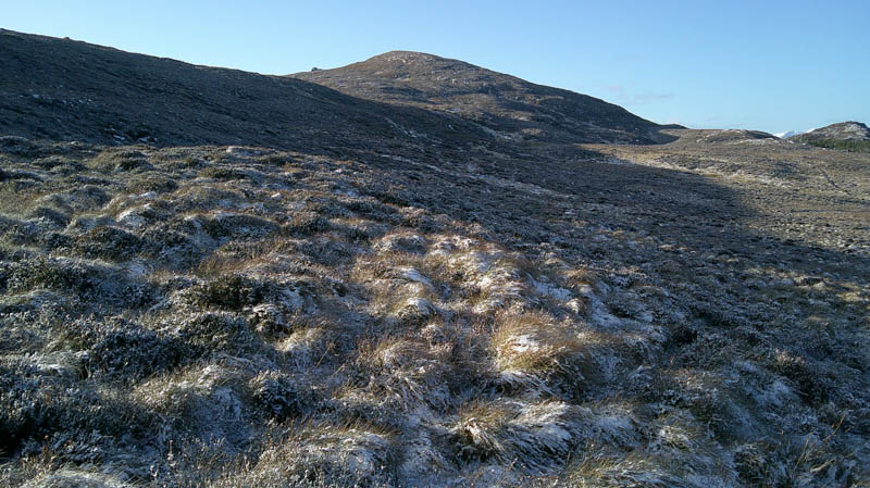
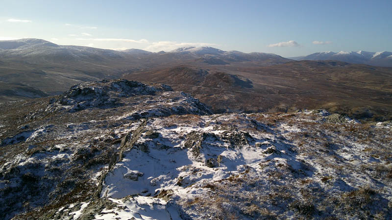
The final approach to the Tump, Carn Doire Chaorach, was slightly steeper but still easy going to reach the cairn marking its highpoint.
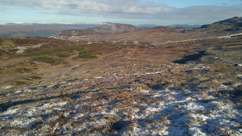
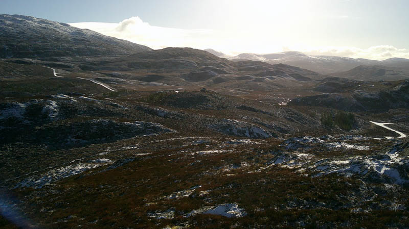
After a break sitting in the sun, there was a cool light breeze, descended south-west through similar conditions as for the ascent, crossing an estate track and onto an old vehicle track, now just a little used rough path, icy in places. Later left this path and climbed south-west onto the north ridge of Carn Chleamonts then to its summit, The highest point of this Tump was marked by an outcrop.
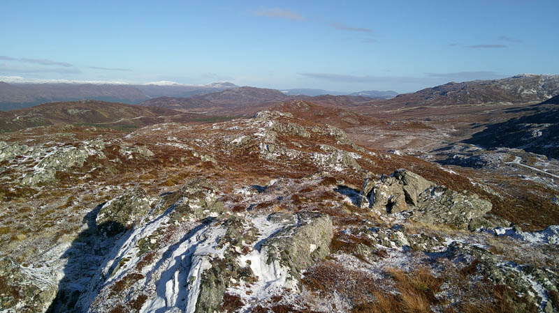
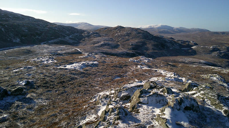
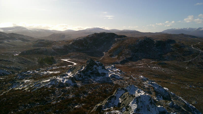
Thereafter it was back to the old vehicle track then to the newer estate track which was followed north-west to a set of gates then a short climb north to just east of the summit of the Tump, Carn na Saobhaidhe South Top. (climbed October 2023)
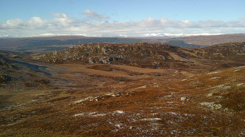
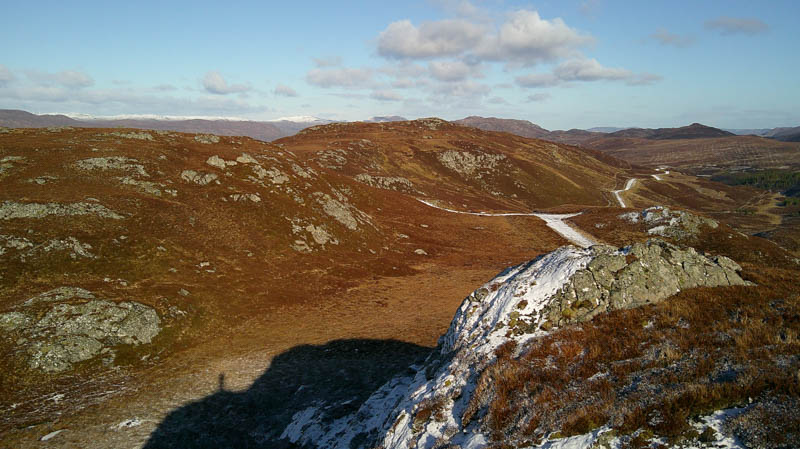
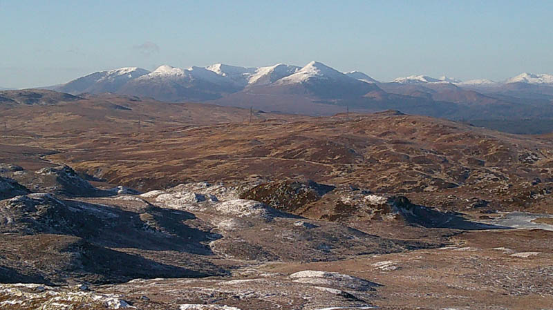
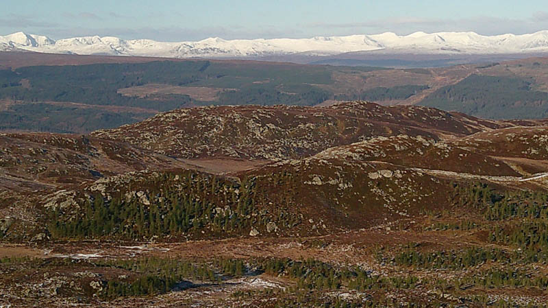
Immediately to the north of this hill a rough ATV track descended north-west so used it to reach the path in the glen of the Allt an Reidhean. Walked north along this little used path, later crossing the stream, but the latter stages of the path weren’t obvious as there had been a few changes to the landscape here. Headed for the west side of the man made lochan mentioned earlier and onto the Glen Doe vehicle track before returning to the start.
- Time taken – 5 hours 15 minutes.
- Distance – 13.5 kilometres.
- Ascent – 525 metres.