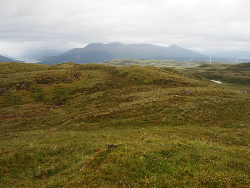
Beinn Ghlas East Top and Beinn Ghlas – Headed for Glen Lonan, east of Oban, parking on the grassy slope west of the vehicle track at NM972283. (east of Duntanachan) Walked south up this grass and stoney track which was in reasonable condition until high up where the track was rough and boggy.
This led to a comms tower at NM96942654 where a path headed off in a south-westerly direction but soon disappeared amongst the vegetation.
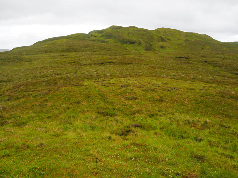
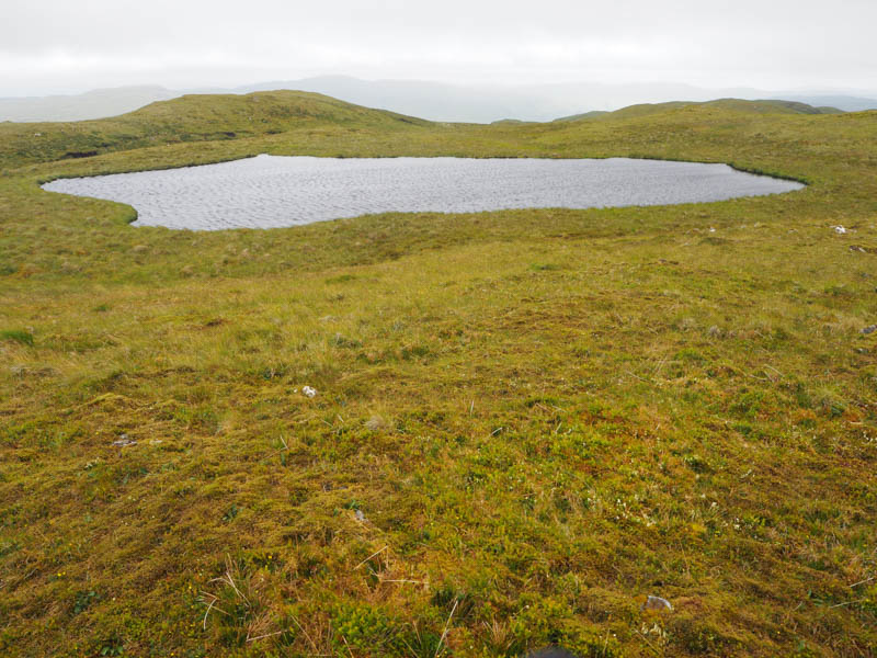
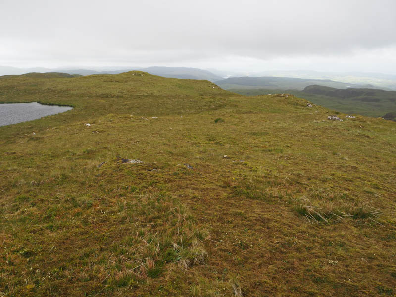
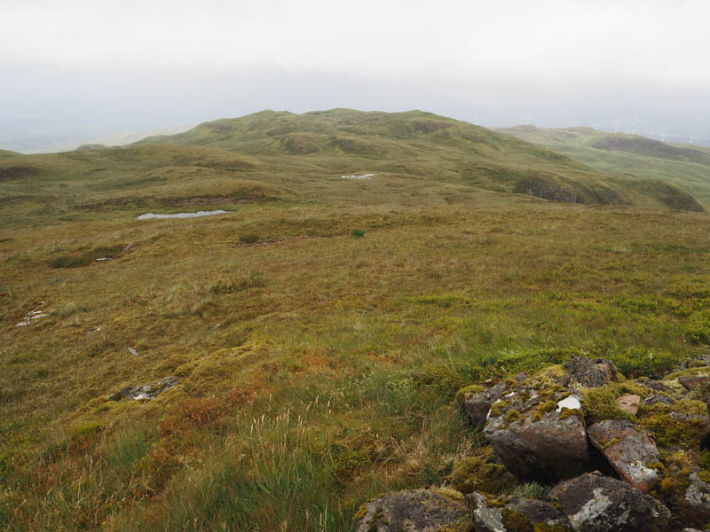
The Tump, Beinn Ghlas East Top, marked by an outcrop, was reached and here took a short break.
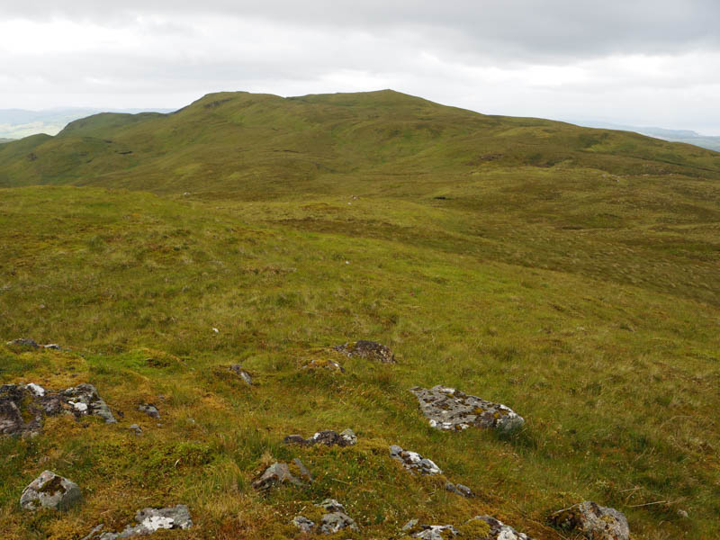
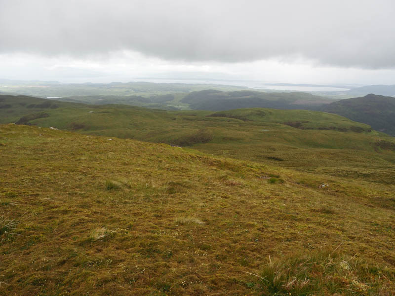
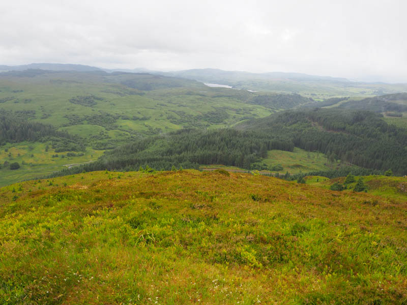
Descended west, the ground was a bit rough, before climbing to the summit of Beinn Ghlas. The highest point of this Marilyn was marked by a cairn.
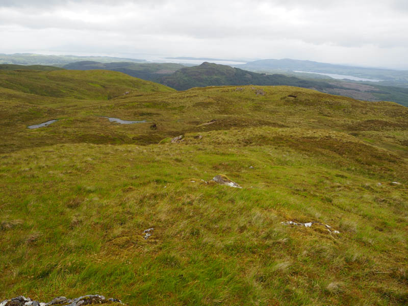
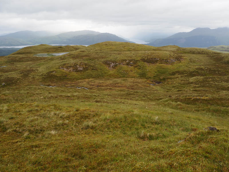
The return was slightly to the north of Beinn Ghlas East Top and the comms tower to rejoin the vehicle track which was followed back to the start.
- Time taken – 2 hours 50 mins
- Distance – 7.5 kilometres.
- Ascent – 440 metres.
Deadh Choimhead – This Marilyn was a bit more problematic. Parked on what appeared to be an extended passing place east of the road bridge across the Eas na Buaile, (NM 943275) crossed this bridge then along its west bank to the River Lonan. Crossing it wasn’t difficult although did get feet a bit damp.
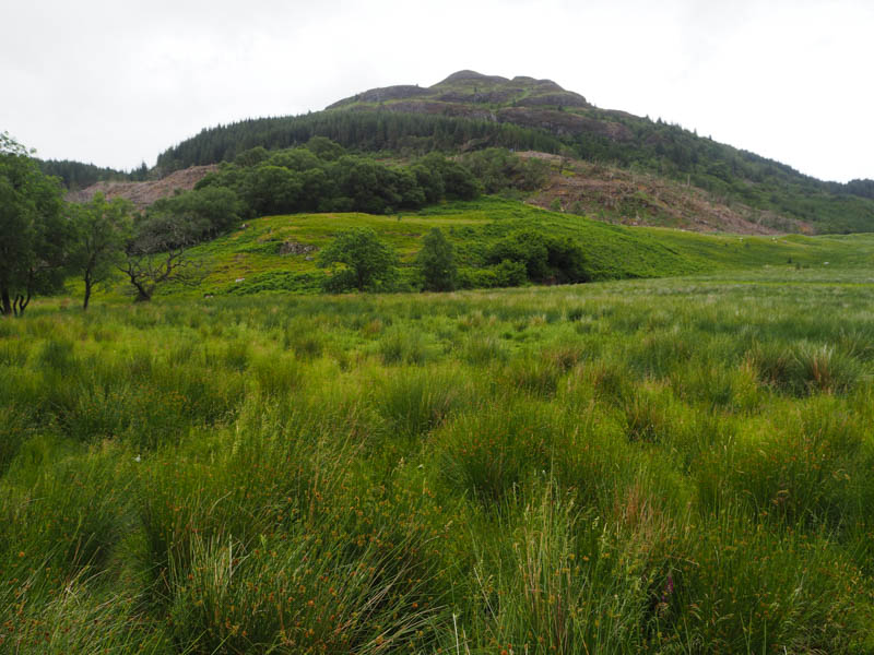
Went through a stock gate and into the forest where many of the trees had been harvested. Steeply up the side of a stock fence with some brash, to reach a forest track. It was followed north-west, rough in sections with a few fallen trees to go under. This led to a junction of tracks and here went left, continuing in a north-westerly direction the track later turning north, while looking out for a gap in the mature and young trees. There was nothing obvious.
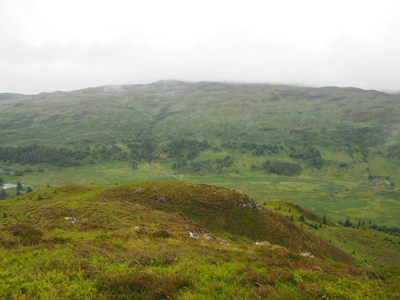
Returned to the track junction and walked east but there still no evidence of a clear route onto Deadh Choimhead. After around a kilometre decided to give up the search and entered the birch trees pushing through the wet foliage and into the mature firs where the ground was steep with some wet bracken.
Higher up the trees became sparse with the vegetation consisting mainly of heather. The gradient eased slightly on heading east onto Deadh Choimhead, coming across a path just before reaching the summit which was marked by a broken trig point. Low cloud was blowing through so there were only brief views.
Decided to return via the path which descended south-west, losing it completely on reaching high bracken lower down. Once beyond the bracken headed south-east into the trees later pushing my way through the branches of some younger ones and difficult underfoot conditions onto the forest track beside piles of cut timber. Walked south-west then north-west to the track junction mentioned earlier and from there returned by the approach route.
- Time taken – 3 hours 20 mins.
- Distance – 6.5 kilometres.
- Ascent – 435 metres.