Note: The photos are zoomed due to a malfunction.
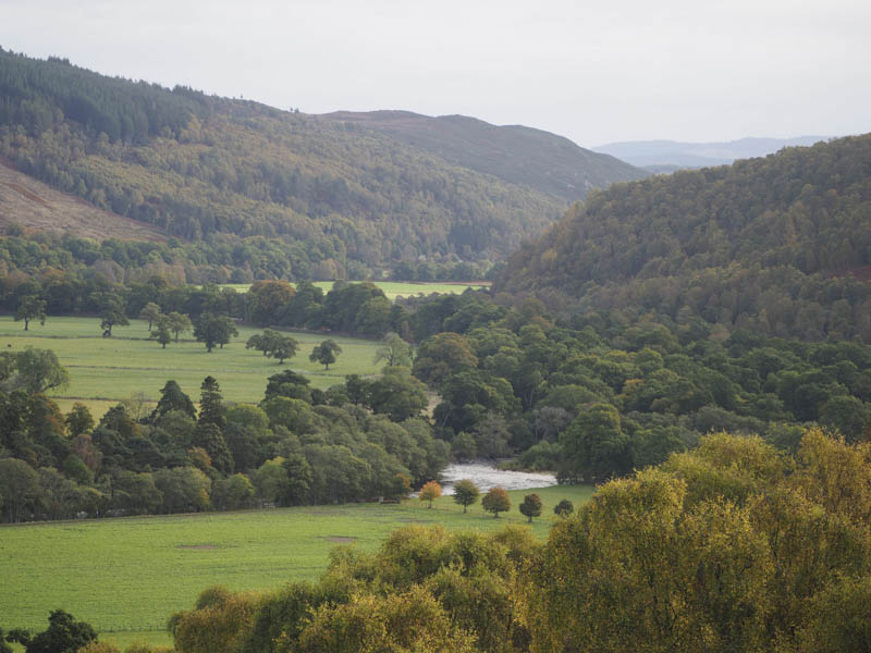
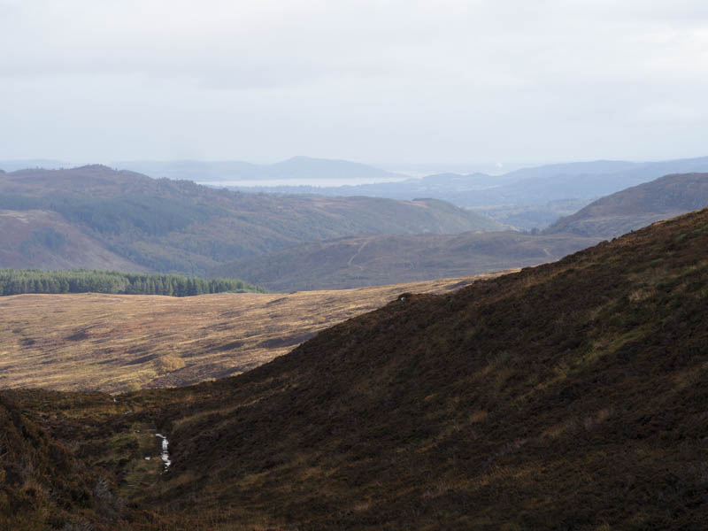
I headed for the hamlet of Struy, on the A831 Beauly to Cannich Road, parking on some rough ground opposite the restaurant there. I walked west then north-west to Struy Lodge and Farm where the Shieling Project operates from. On reaching the farm buildings I located the start of the vehicle track going south-west although I missed the first access track due to it being concealed by high dead bracken. Anyway the tracks both climbed fairly steeply, later merging, and entering the forest, where the gradient eased.
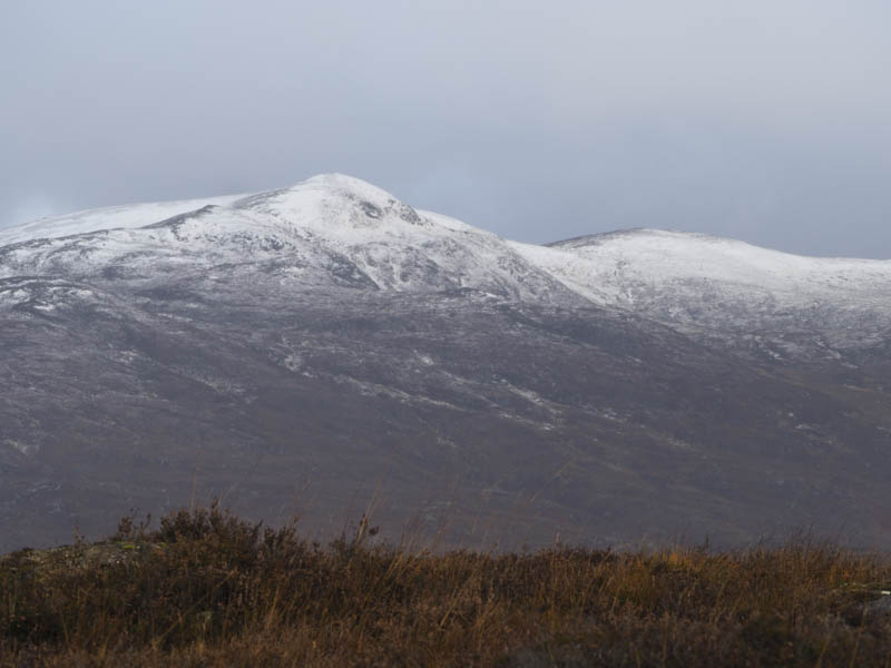
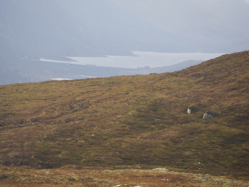
A couple of gates were reached and once through the pedestrian gate I was onto the open hillside with views of the snow capped Strathfarrar Hills. The track continued in a south-westerly direction before later turning west. It was rough in areas with mud and pools of water and higher up had been scrapped in sections.
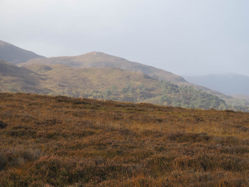
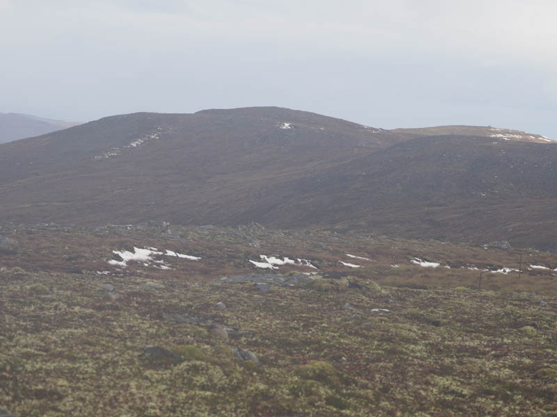
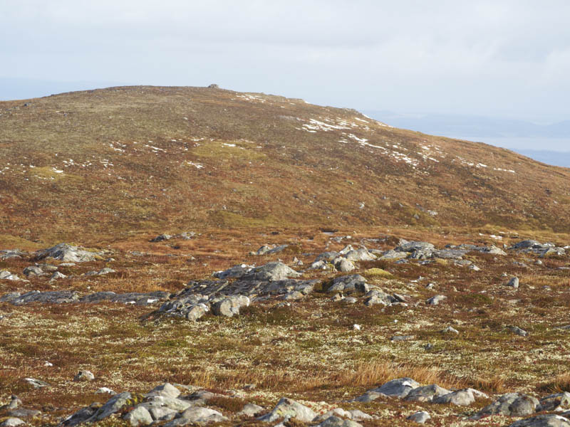
After around 8 kilometres I was to the south and only a short distance from the summit of Carn nam Barran. I crossed some rough vegetation and rock to reach the highpoint of this Sub Dodd, an outcrop.
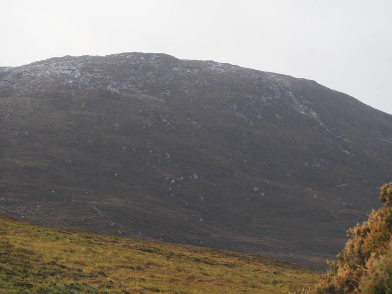
I returned to and crossed the path then descended south-west through some peat hags before working my way round the west side of Carn a’ Mhuilt, gradually gaining height. Despite the rough vegetation progress was easy enough though there were a few more peat hags to contend with before climbing to the summit of Carn Gorm East Top. The highest point of this Sub Simm was an obvious rather large block of rock.
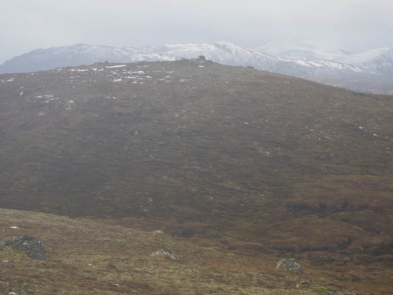
The descent north-east took me to the col with Carn a’ Mhuilt and some peat hags before ascending this Sub Simm where an outcrop marked the summit.
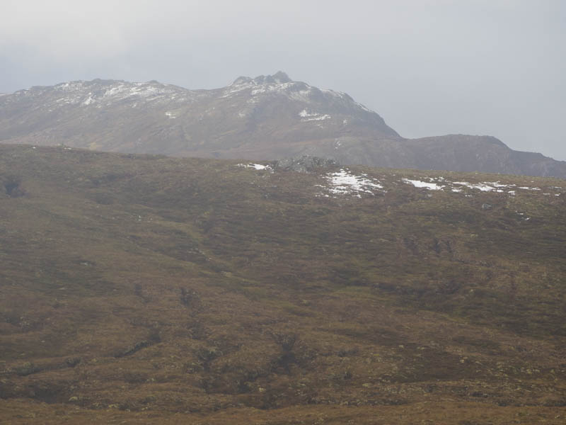
A drop east led to more peat hags then I climbed north-east onto Carn a’ Mhuillt East Top. A rock west of the large cairn appeared to be the highest point of this Sub Simm.
The descent east then north-east took me through some rocky ground and to the col with Carn Moraig and more bog. I then ascended this Tump where I visited several rocks. One was probably the summit but I couldn’t tell which.
This was the final hill for the day so I descended north-east, then north, before turning east along a small ridge to rejoin the outward route at NH36603806 and following it back to the start.
- Time taken – 7 hours.
- Distance – 20 kilometres.
- Height climbed – 800 metres.