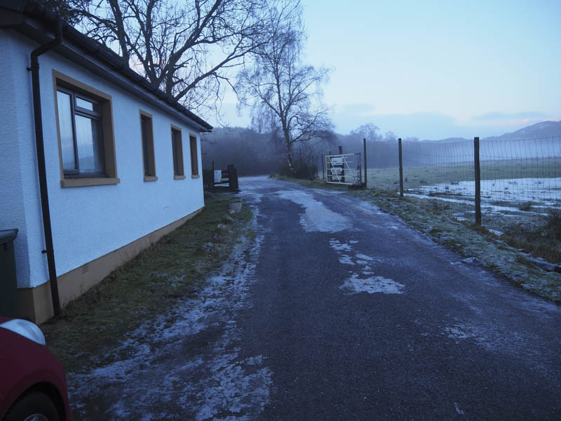
On arriving at the car park beside Inchmore, at the entrance to Glen Strathfarrar, accessed from Struy Bridge on the A831 Beauly to Cannich Road, it was covered in ice. As it sloped downhill I left my vehicle at its entrance. Once geared up and with microspikes fitted I headed west through the open gate which I presumed had been left in that position due to the padlocks being frozen.
Permission to access the Glen in a vehicle during the winter months had to be obtained from Mountaineering Scotland and for members only.
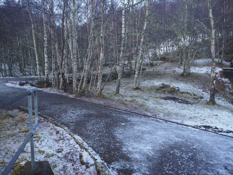
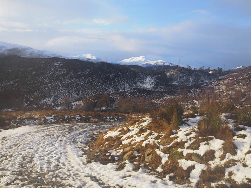
The tarred road up the glen was mainly icy and on reaching the entrance to Culligran Power Station the ice was thicker. With some care I left the tarred road, walked up the side of the power station, and climbed an embankment that took me onto the vehicle track that headed west.
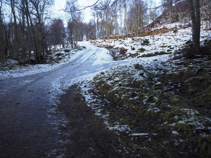
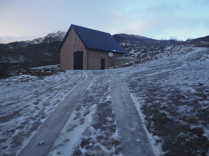
This led to the Neaty Burn and the track along its east side. A new electric power station was reached.
On previous visits to this location the vehicle track ended here to be replaced by a muddy path although in the present freezing conditions the mud would have been solid. The path had been replaced by a vehicle track that headed north-west up the east side of the burn. There were patches of snow on the track then higher up it was completely snow covered with traces of old bootprints.
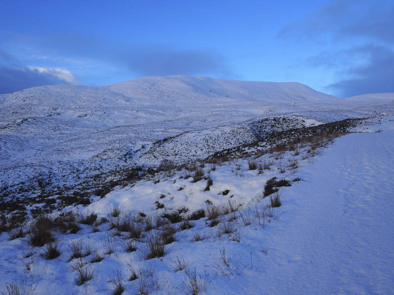
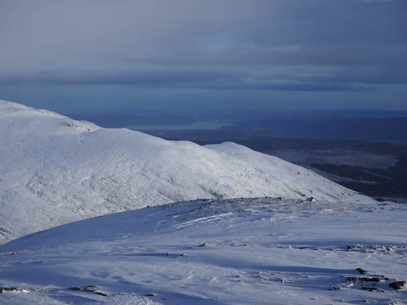
The track came to an end at a hydro dam and here I climbed an embankment before continuing through snow covered heather with several undulations to cross small tributaries. My plan was to climb the Corbett Top, Meallan Buidhe, but in these underfoot conditions progress was slow and I was struggling a bit. I therefore changed my plan to just take in the Hump and Graham Top, Carn Ban. This involved crossing the Neaty Burn which although low had snow and ice covering the rocks.
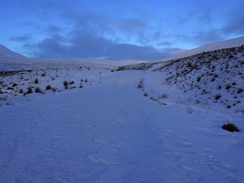
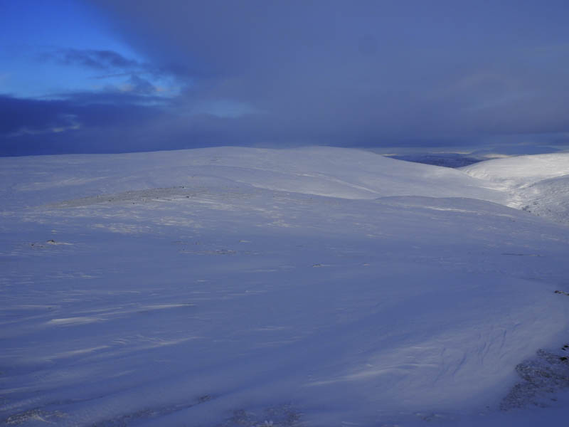
Once over the burn I headed west crossing what appeared to be peat hags and bog concealed by the snow. Progress was still slow and once below Carn Ban I commenced its ascent by the north-east ridge. This was quite tiring in the deep snow but eventually the gradient eased and I made my way to the summit cairn.
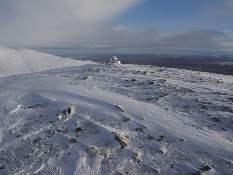
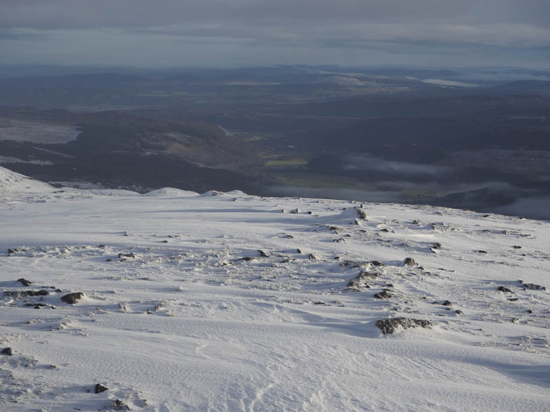
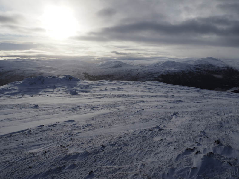
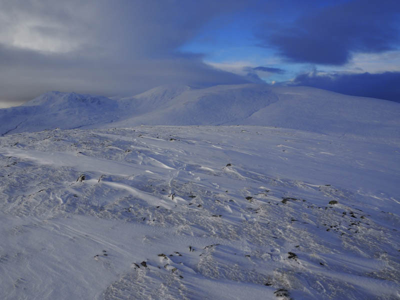
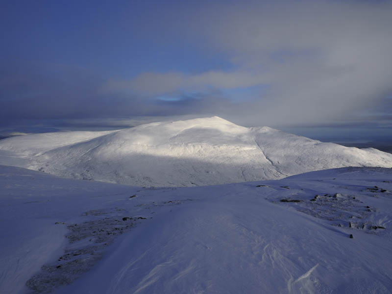
I stopped here for lunch but felt unwell so headed off down Carn Ban’s South-East Ridge through snow which varied in depth. On reaching the crags at Carn Mor I opted to descend south and here the terrain was a bit steeper with long heather and areas of loose snow. It took time to negotiate this area before crossing a dip and onto the west ridge of Creag a’Ghoirtein.
The walk along this ridge was through deep heather avoiding some fallen trees. There were also a couple of undulations and at one point I had to stop and rest amongst the heather as I felt sick. Once on the move again there was a trace of a path, probably created by deer and led to the summit of this Tump.
On visiting a couple of highpoints I briefly descended south-east then fairly steeply down a gully containing mixed vegetation to reach the Neaty Burn east of the power station. This burn was easily crossed to re-join the vehicle track used earlier in the day and I returned to the start.
- Time taken – 7 hours.
- Distance – 16.25 kilometres.
- Height climbed – 820 metres.