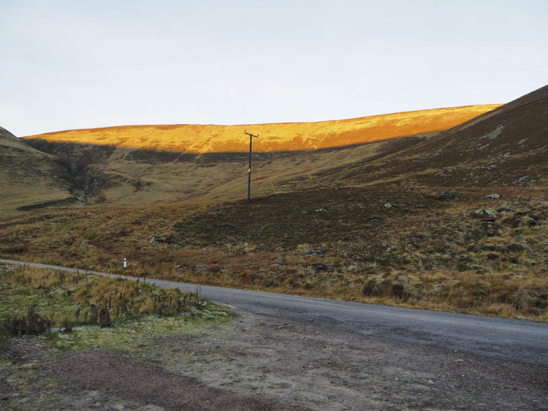
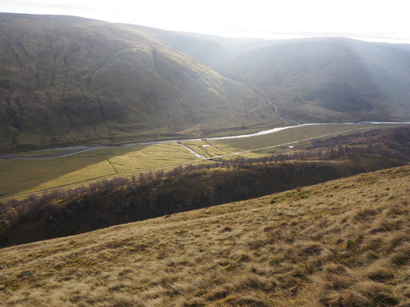
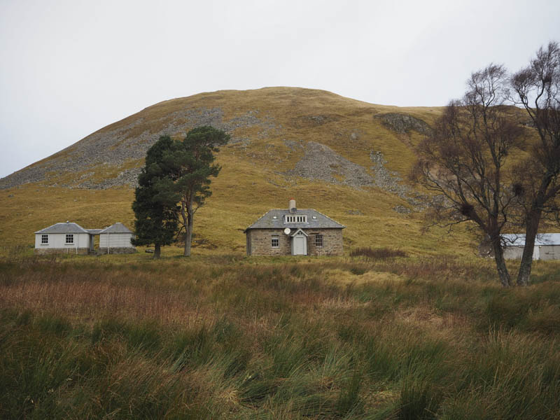
I headed to Strathdearn, reached from Tomatin on the old A9 south-east of Inverness, and drove to the end of the public road where there was a large parking area. I then walked towards Coignafearn Old Lodge and on reaching the kennels I located a little used vehicle track that headed north towards Coire an Fhearna.
This track then turned east gradually rising below Carn Coire Dhealanaich.
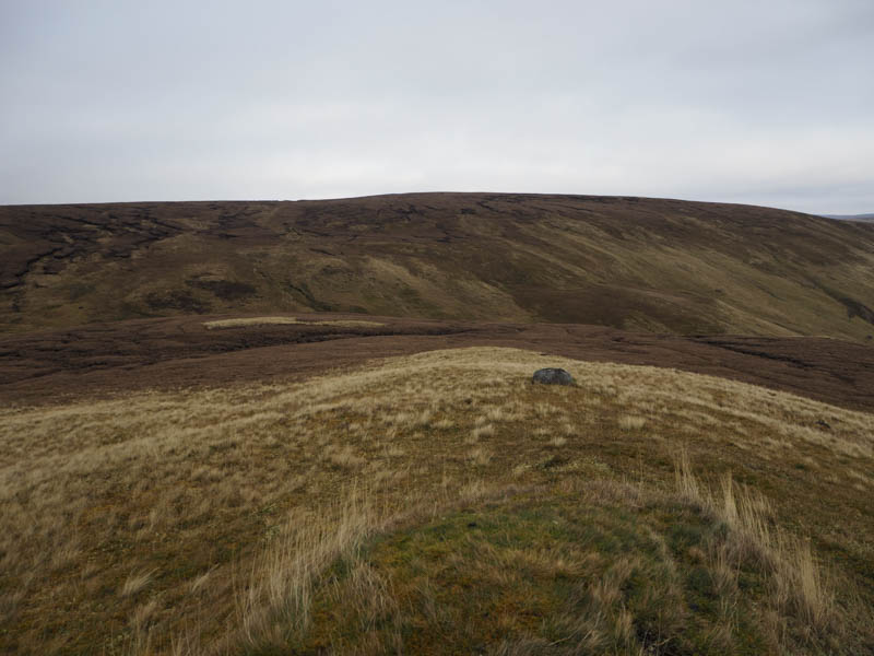
High up the track changed direction and headed west so I left it and climbed through heather, occasionally using animal trails, to reach the cairn marking the summit of the Sub Simm, Carn Coire Dhealanaich East Top. The earlier sun had been replaced by cloud and there was a cold wind.
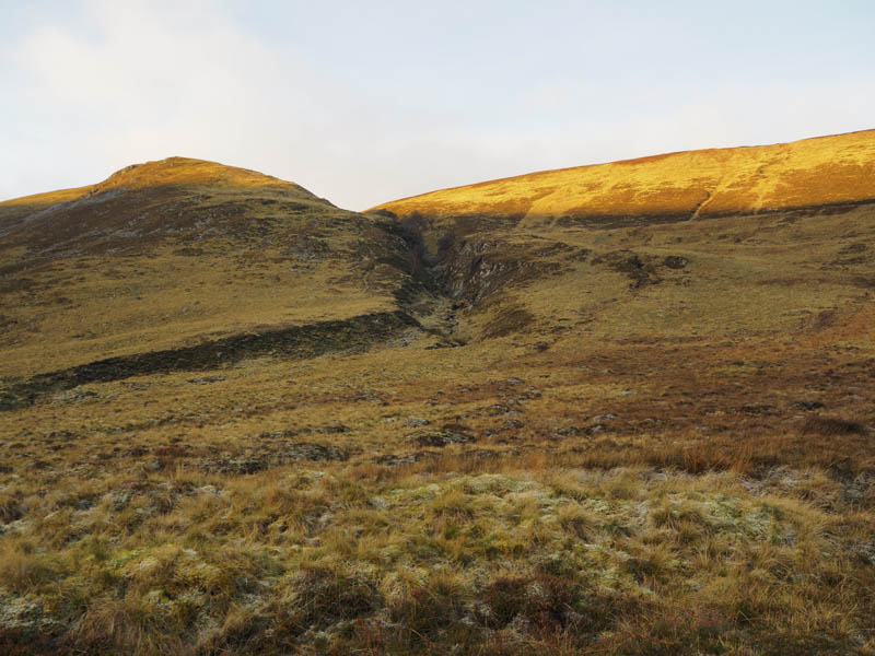
From this Top I headed west through numerous frozen peat hags to Carn Coire Dhealanaich where a mossy tussock was apparently the highest point of this Graham Top.
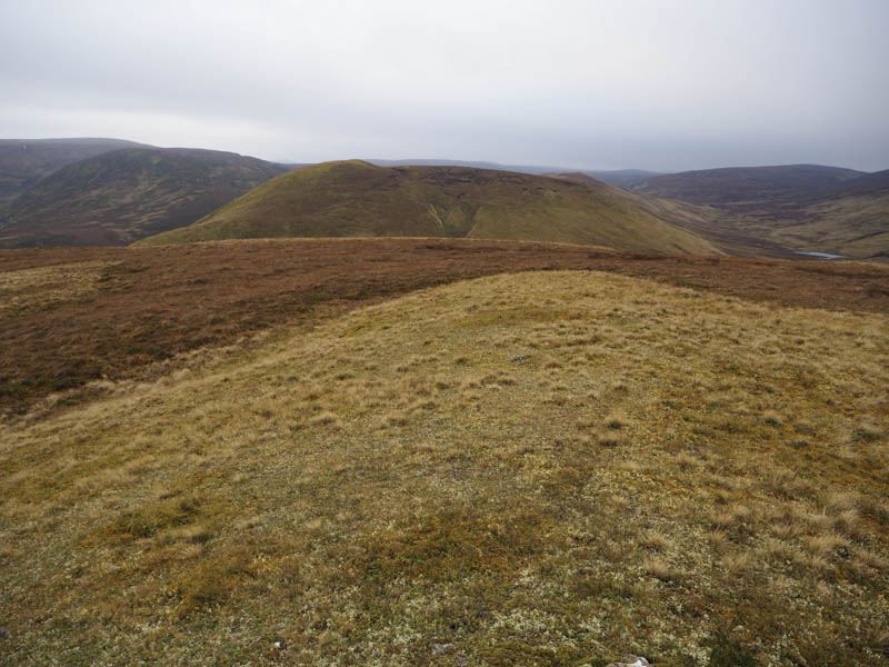
If the peat hags hadn’t been frozen I would probably have returned to the strath and walked along the track but instead walked south-west through the numerous peat hags to Creag Irealis.
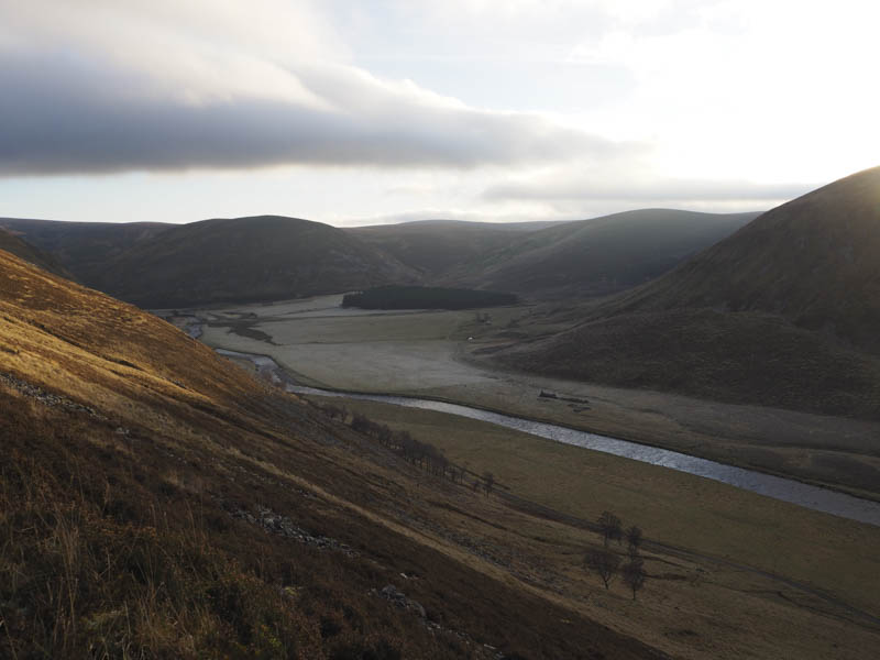
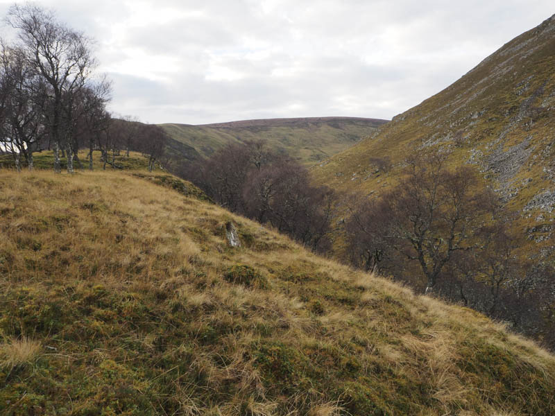
It was then a steep descent into the gorge with Tom Chruidhe.
A deer path led onto the north-east ridge of this Tump then it was an easy walk through well spaced trees visiting both the tops of Torr Chruidhe.
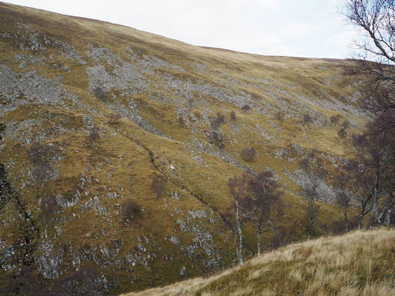
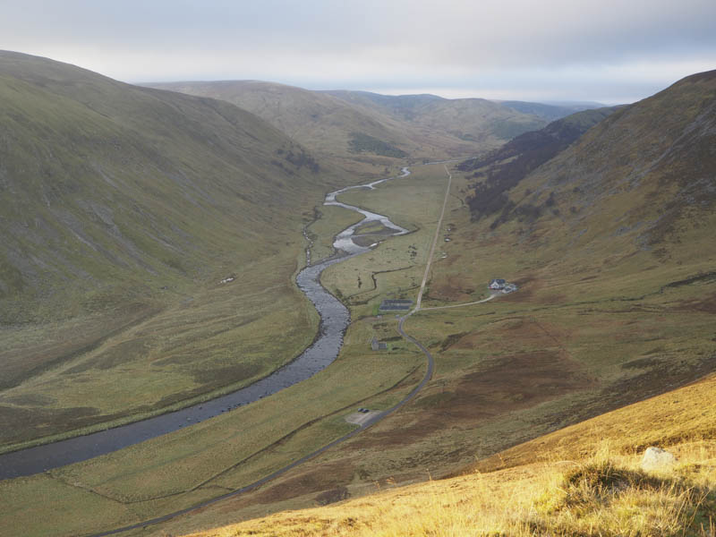
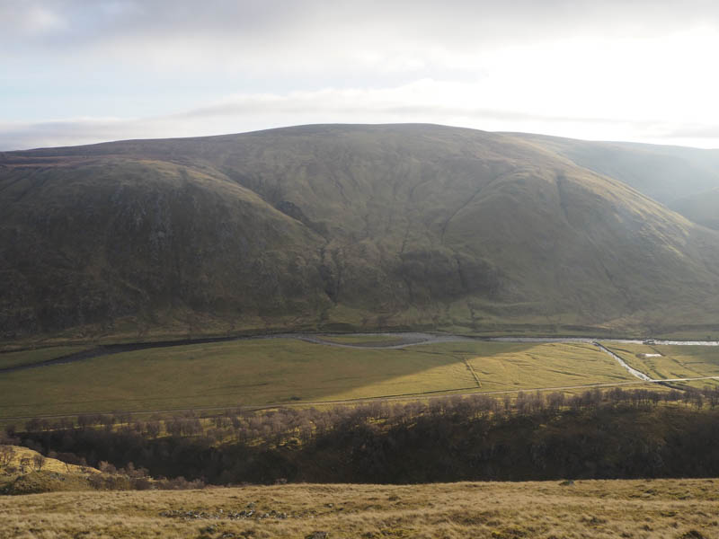
I descended south-west into the gorge containing the Allt Calder but the boulders I would use in the crossing looked rather slippery so I decided against the risk. I therefore regained a bit of height before descending east to the vehicle track in Strathdearn. Once across the bridge over the Allt Calder I walked up the vehicle track on the south side of the stream before leaving the track and following the edge of a deer fence onto the south-east ridge of Carn Leachtar Dubh. Here more frozen peat hags were used to reach the summit of this Graham Top, a knoll.
The descent south-west was through more peat hags before I crossed a stream and climbed to the obvious knoll marking the highpoint of the Sub Simm, Meall an Duibhe.
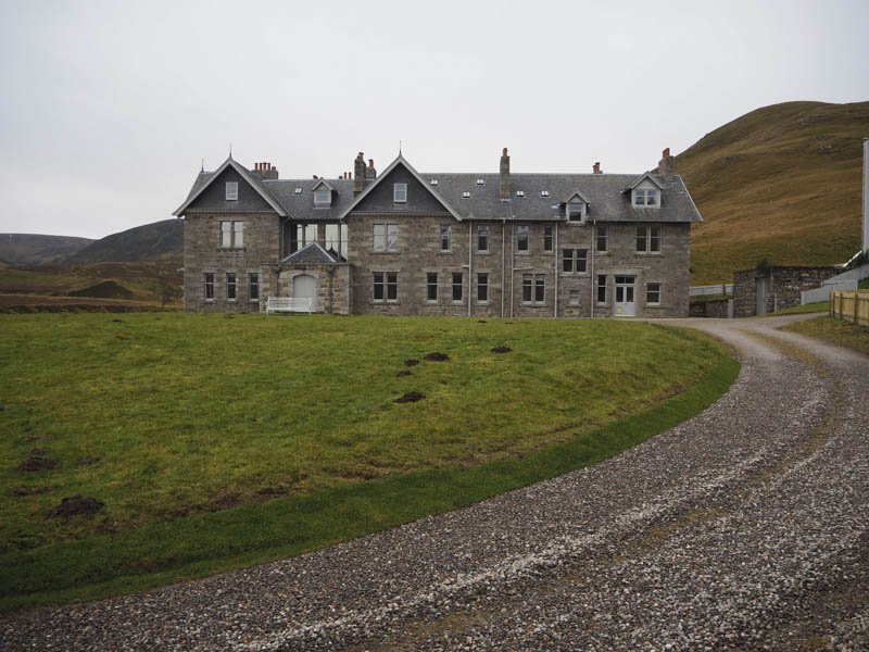
The descent south was through grassy vegetation the gradient later steepening with some boulders to avoid before reaching Coignafearn Lodge. I walked round this property which appeared vacant, to the vehicle track on the south-east side of the house.
It was then a walk of over 4 kilometres back to the car park.
- Time taken 5.75 hours.
- Distance – 16.25 kilometres.
- Height climbed – 720 metres.