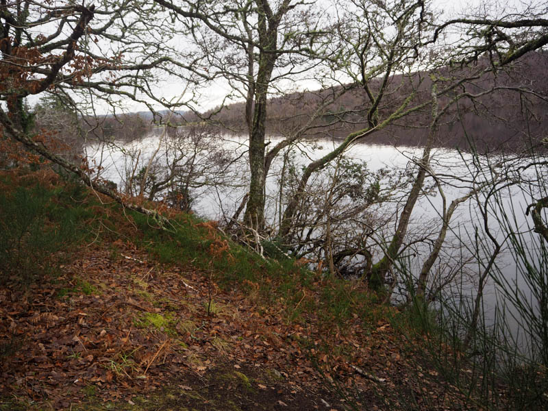
Cnoc Dubh – On the previous couple of days I had climbed four of the five Tumps to the north-west of Contin, so I was back to complete this small section. The starting point was again Loch Achilty, on the north side of Strathconon, accessed along the minor road from the A835 at Contin.
I parked my car, space for a single vehicle, beside the forest track leading into Achilty Oakwood, maintained by Forestry and Land Scotland according to the sign. I passed through the open gate and walked north on a good quality substantial track later turning north. The track was steep at times and although the sign mentioned an oak wood it was a mixed woodland. Higher up were some log stores which made me think there was a habitation nearby but there had been no signs of this nor evidence of a letter box or any cabling.
At the end of the track came across a nice-looking house with good views south out over Strathconon. At this point I wasn’t sure how to progress but found a grassy path to the east of the property. It was followed to some flattish ground where there was a large expanse of ‘lawn’ consisting of grass and rough vegetation including bracken and was obviously regularly mowed. Here I met a lady walking a couple of Spaniels and she told me who owned the property and that it was off grid. She also mentioned a nearby viewpoint.
Beyond the ‘lawn’ a grassy path led to the knoll and viewpoint.
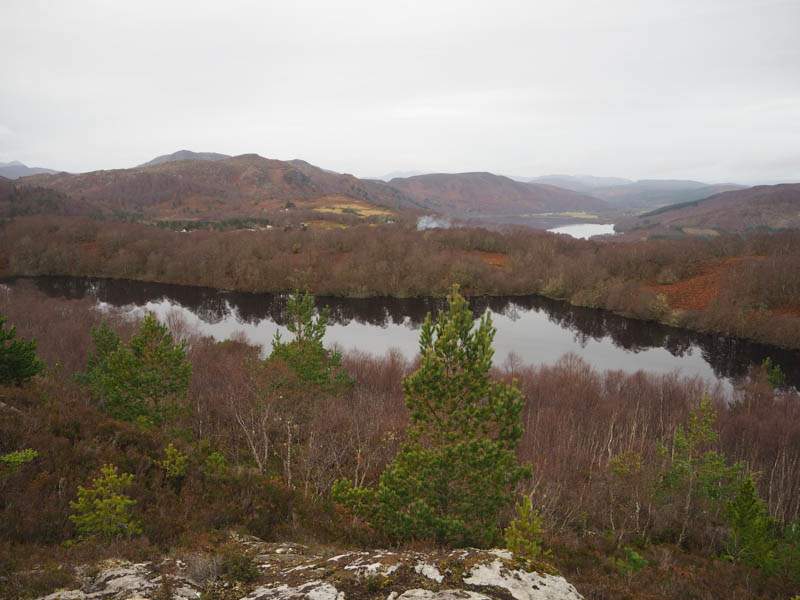
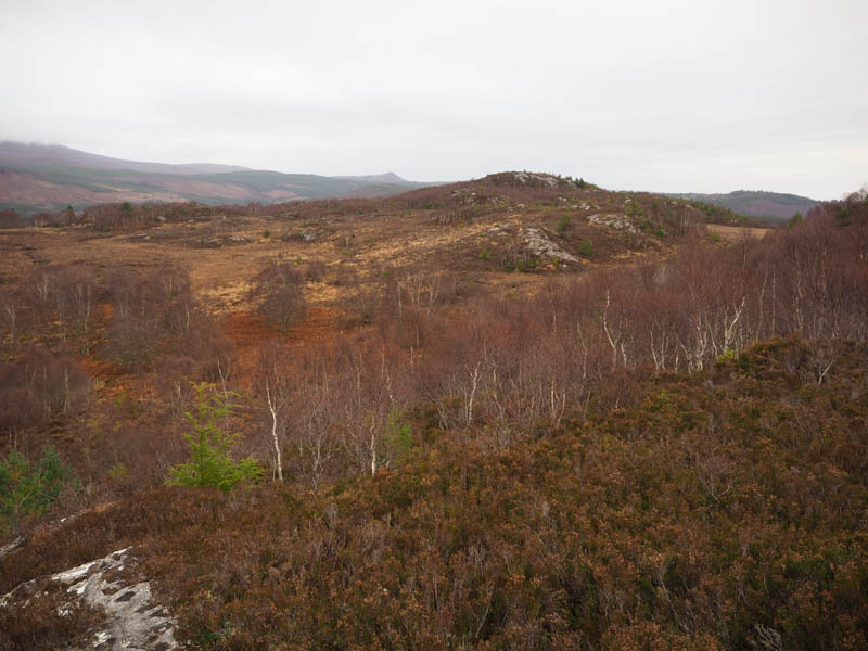
It was then a steep pathless drop through birch trees, heather and dead bracken to an area of tussocks and swampy ground where a stock fence was crossed. On reaching the foot of Cnoc Dubh underfoot conditions were awful with long heather, loads of outcrops and a few bushes. Eventually I reached the cairn and the highpoint of this Tump an outcrop to its east.
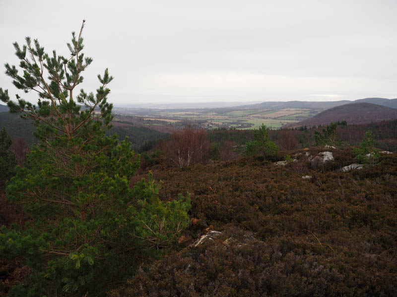
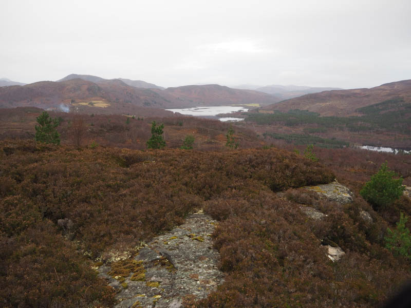
I returned to the ‘lawn’ by a route slightly to the south of my approach route bypassing the viewpoint but the underfoot conditions were worse and included more undulations. On reaching the house it was then an easy descent back down the track to my car.
- Time taken – 2 hours 20 minutes.
- Distance – 5 kilometres.
- Height climbed – 220 metres.
Meall a’ Chuilinn – I have driven past this Tump, located on the northside of the A832 Garve to Achnasheen Road, on numerous occasions but never got round to climbing it so I was here to rectify this.
I left my car in the parking area on the east side of the A832 opposite the Grudie Power Station, crossed the road and went through a pedestrian gate to the south of the main buildings.
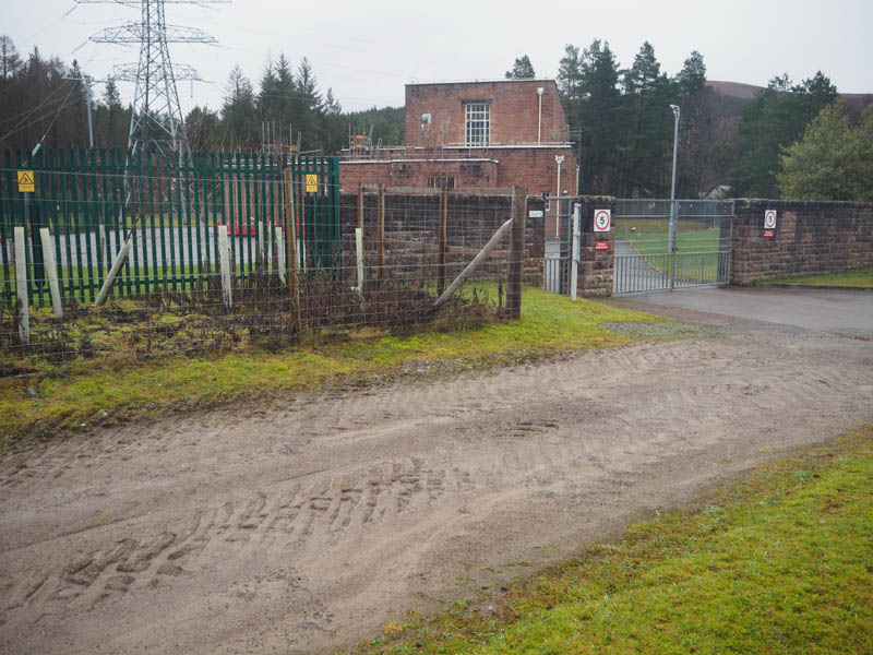
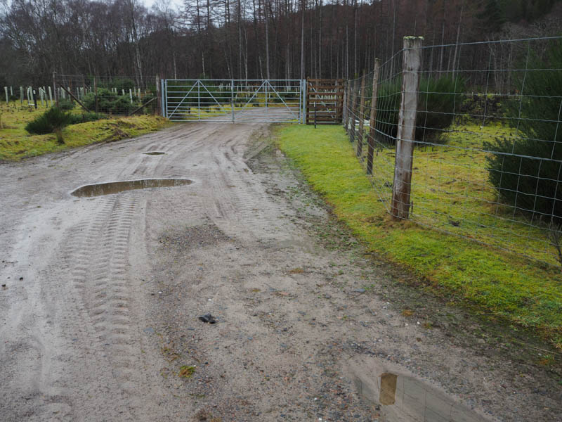
A vehicle track led round to the west side then up the edge of a large pipeline. It was a fairly steep climb.
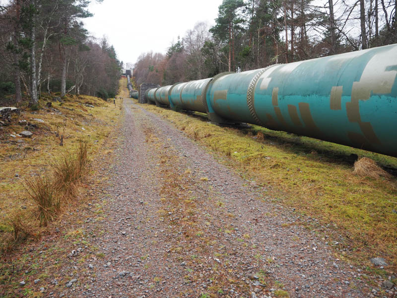
This track later entered the trees and wound its way to the Grudie Bridge Portal Valve House where it came to an end.
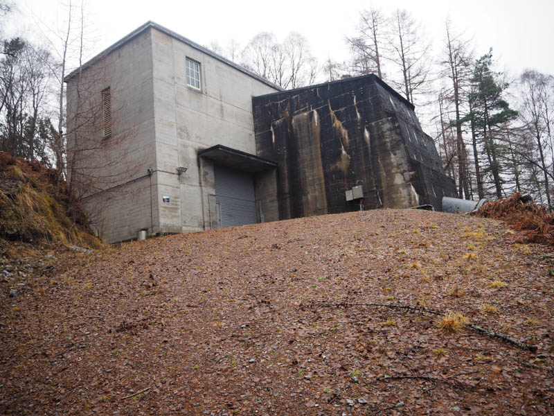
At the rear of this building there was a deep hollow to avoid before continuing through the trees and across some rough ground to reach a deer fence. The wire strands were a bit slack, so it wasn’t an easy crossing to gain the open hillside. Heading west heather and some wet ground was crossed, and this took me to the Grudie Brridge Surge Shaft a large circular shape construction.
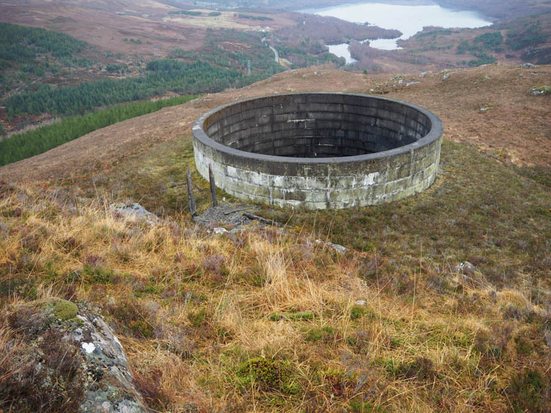
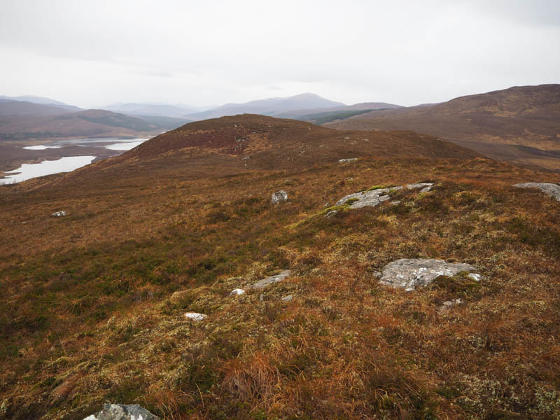
From there a walk south-west took me to the summit of Meall a’ Chuilinn marked by a small cairn.
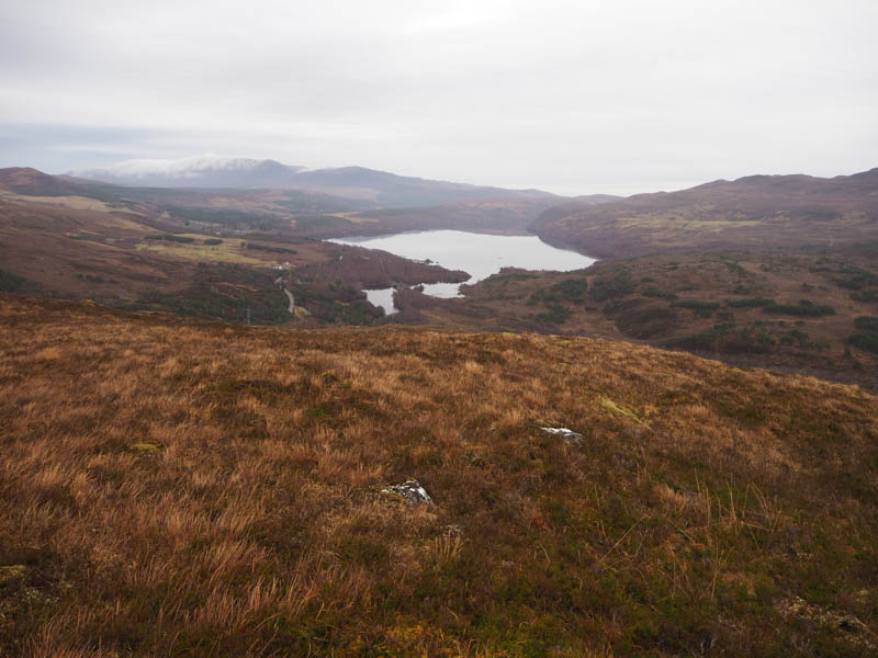
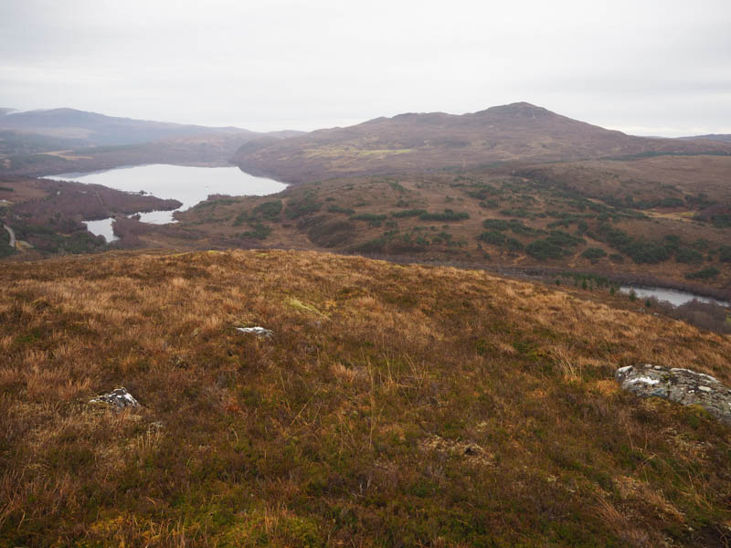
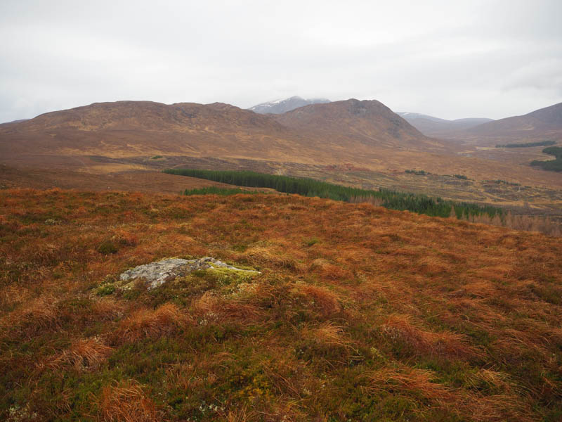
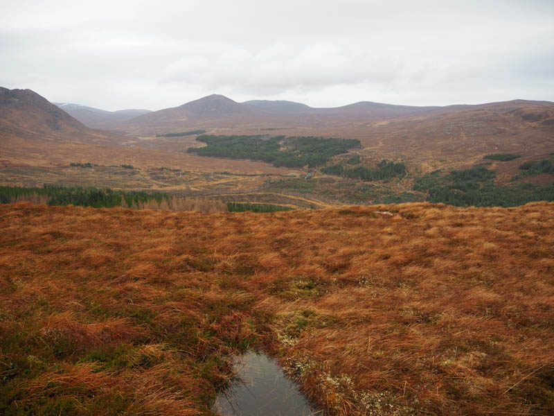
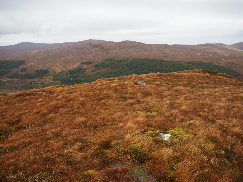
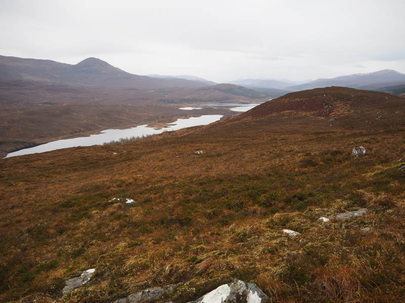
Also went slightly further west for the views in that direction before returning by the ascent route.
- Time taken – 1 hour 45 minutes.
- Distance – 3 kilometres.
- Height climbed – 210 metres.