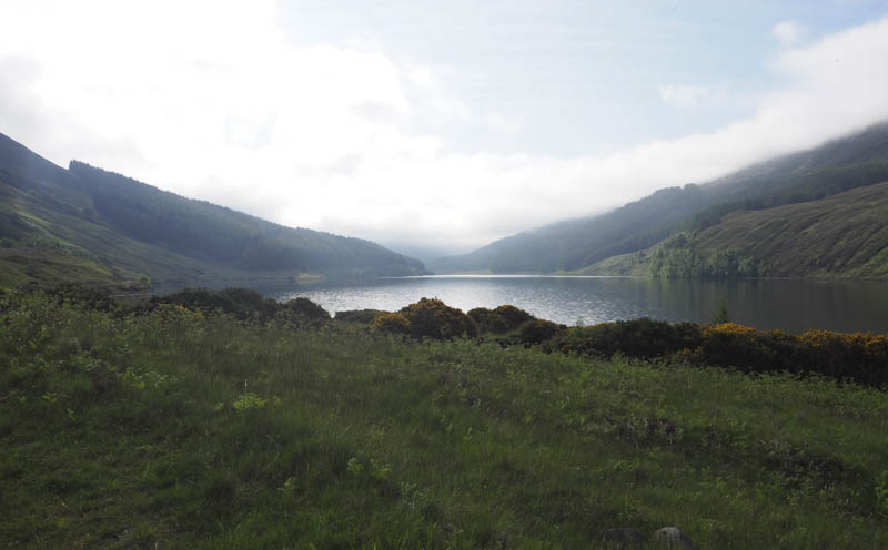
It was another visit to Strathconon this time to climb a couple of hills to the south-west of Scardroy. As on my previous visit I left my car in the parking area midway along the north shore of Loch Beannacharain, accessed from the A835 at Marybank on a single track road for around 17 miles.
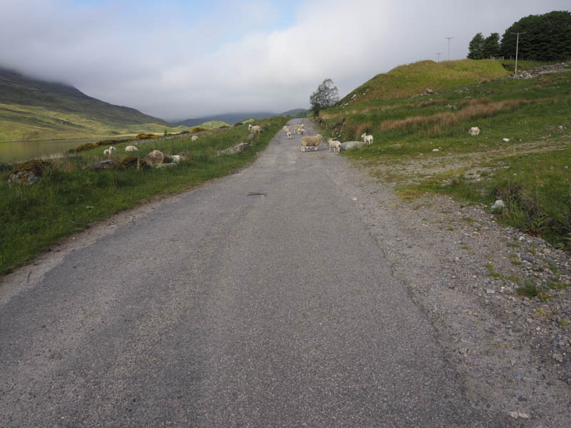
I walked west along a tarred road and vehicle track to Scardroy Lodge then south west to the house at Corrievuic where I crossed the River Meig via a bridge.
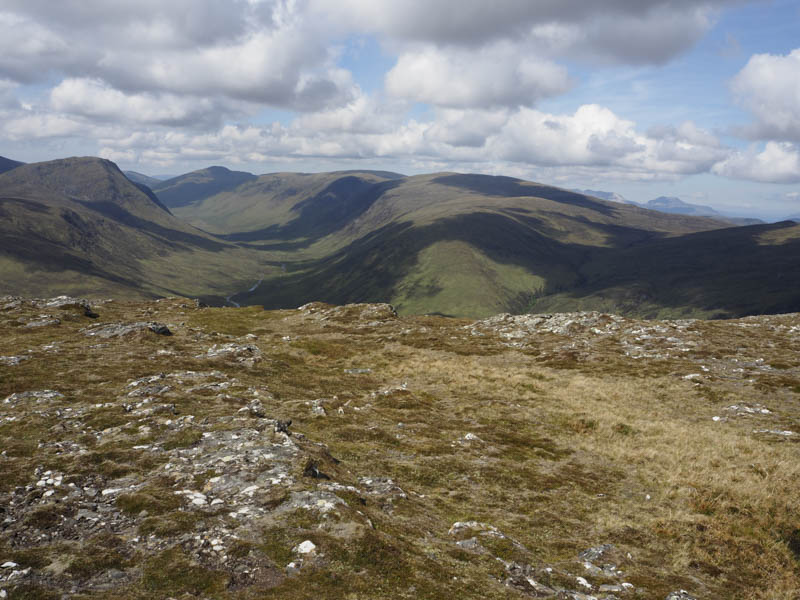
This led to the ruins at Corriefool where I joined the path, which was in reasonable nick, going south-west below Creag Coire na Feola. The path later gained a bit of height before it swung south-east into Coire Mhoraigein and joined an ATV track that came up from a ford on the River Meig to the north-west.
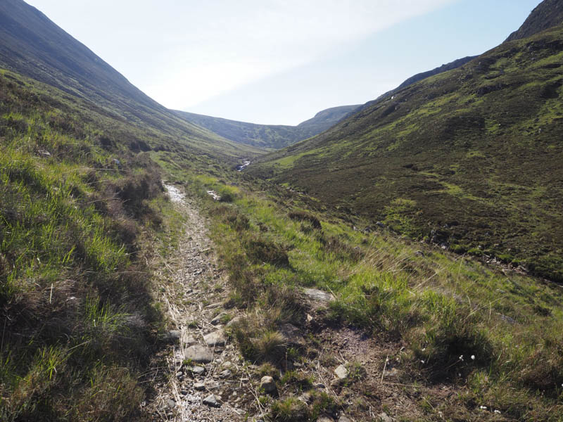
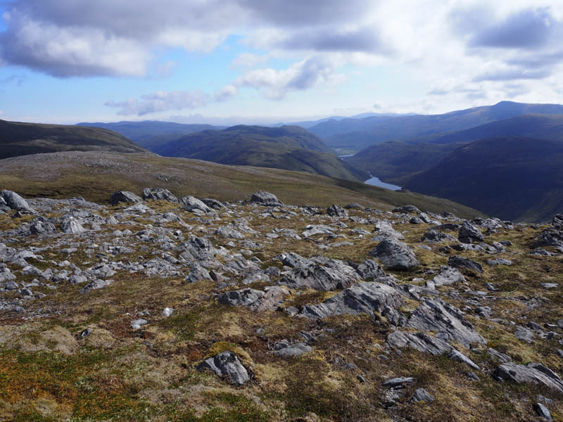
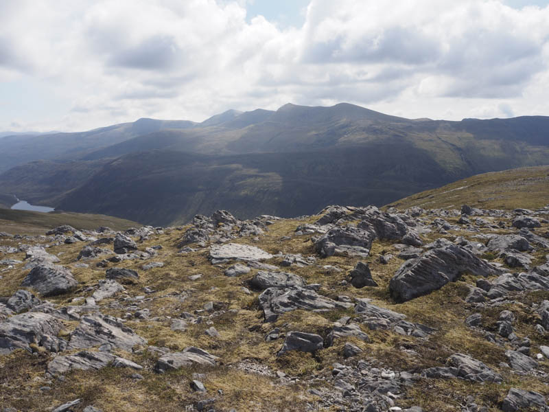
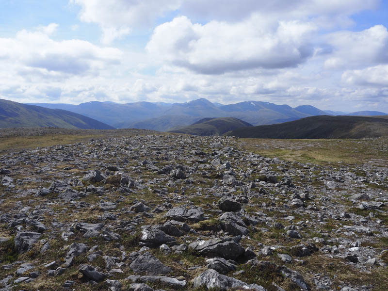
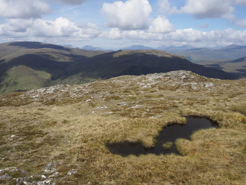
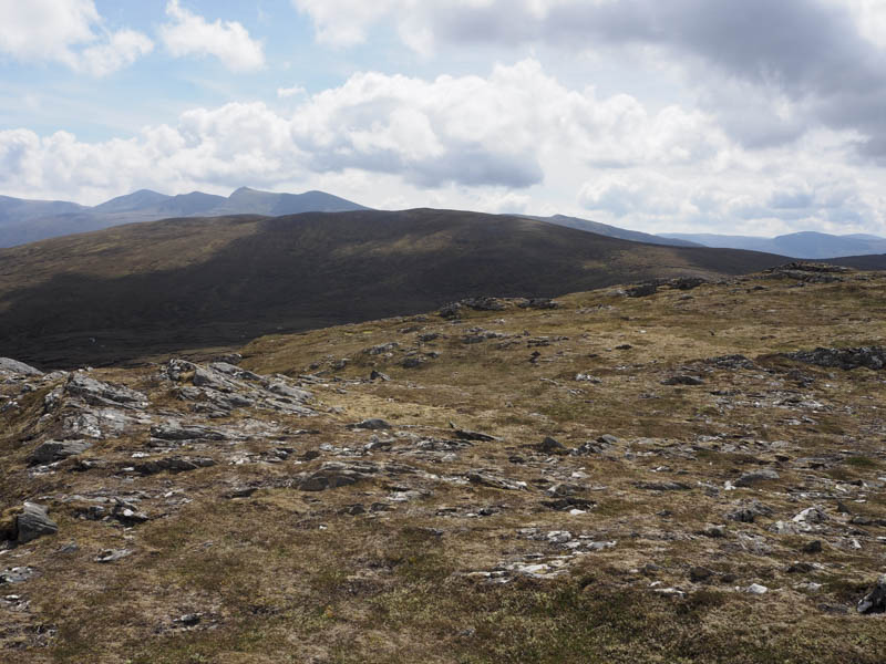
The track began to deteriorate with height and there were a few landslips in the area. Finally the track zigzagged to the bealach, which appears to be named Drochaid Coire Mhadaidh. Here I stopped for a break then followed a zigzag path, not shown on my map, south-west then south-east onto the north-east ridge of Sgurr Coire nan Eun coming to an end at NH205477. It was then an easy walk, mainly on short vegetation, to the summit of this Corbett Top. Its highest point was a rock west of the cairn.
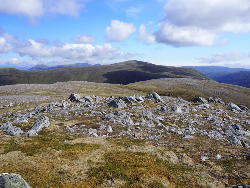
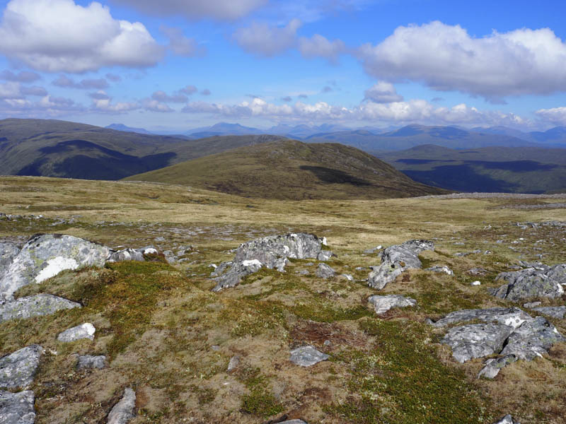
After a few minutes here I descended north-west to the col with Meall Innis na Sine, latterly through peat hags which were relatively dry. There was more of the same as I ascended this Graham Top, the summit marked by a rock.
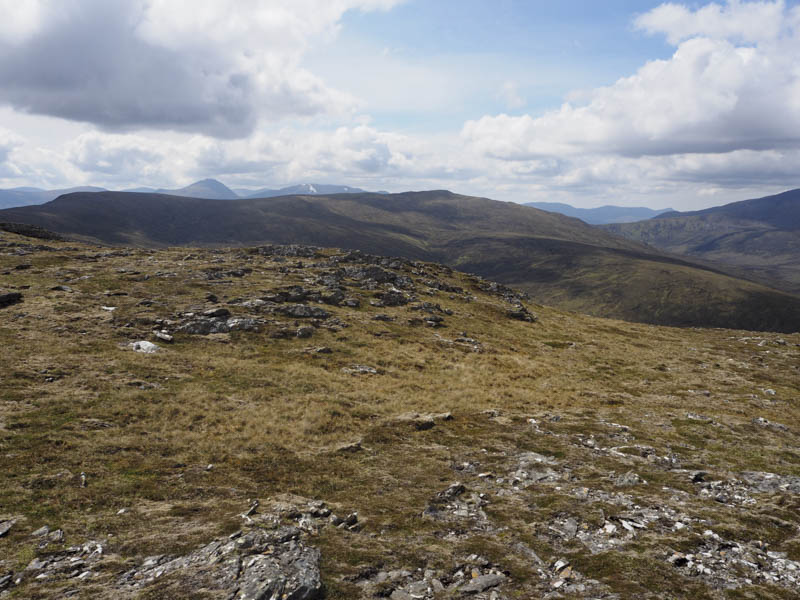
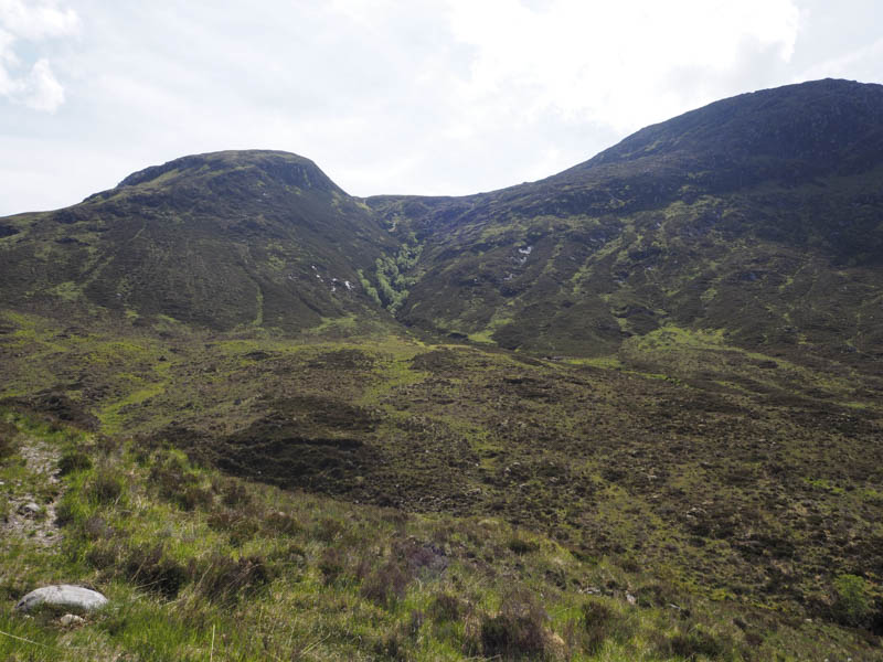
The descent north-east was initially easy enough although it was through rough vegetation until I reached the Eas na h-Eiridh where the ground steepened and there were several crags, some concealed by the heather. It was a tricky descent, occasionally using rough and muddy deer tracks, to reach leveller ground. Here I crossed the Eas na h-Eiridh then later the Allt Coire Mhoraigein to re-join the vehicle track at NH194494 before returning to the start by the approach route.
It may have been easier descending Meall Innis na Sine via its north ridge but I’ll probably never know.
- Time taken – 6.25 hours.
- Distance – 18 kilometres.
- Height climbed – 810 metres.