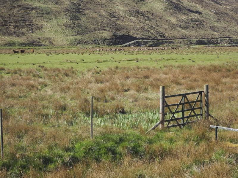
I left my vehicle in the parking area at the end of the public road, well that’s what the sign said, midway along the north shore of Loch Beannacharain in Strathconon, reached from the A832 at Marybank on a single track road.
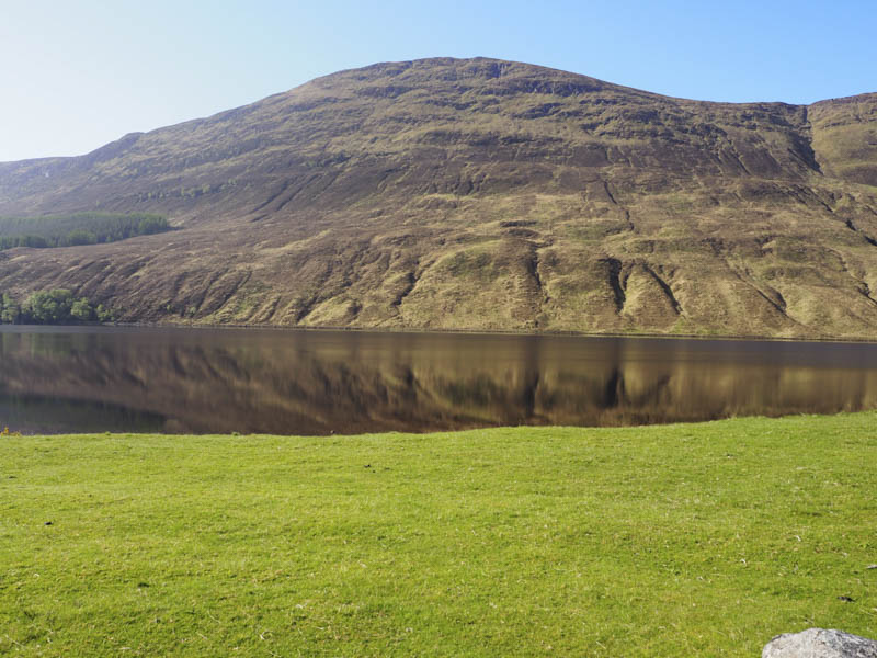
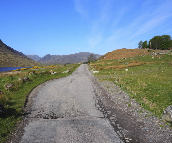
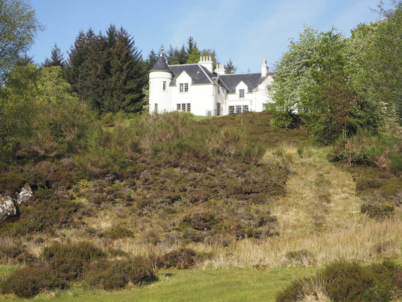
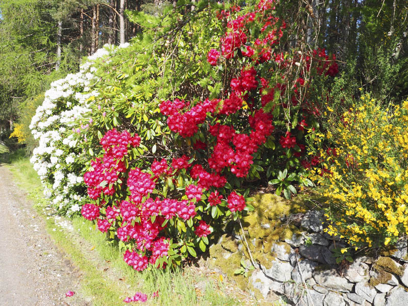
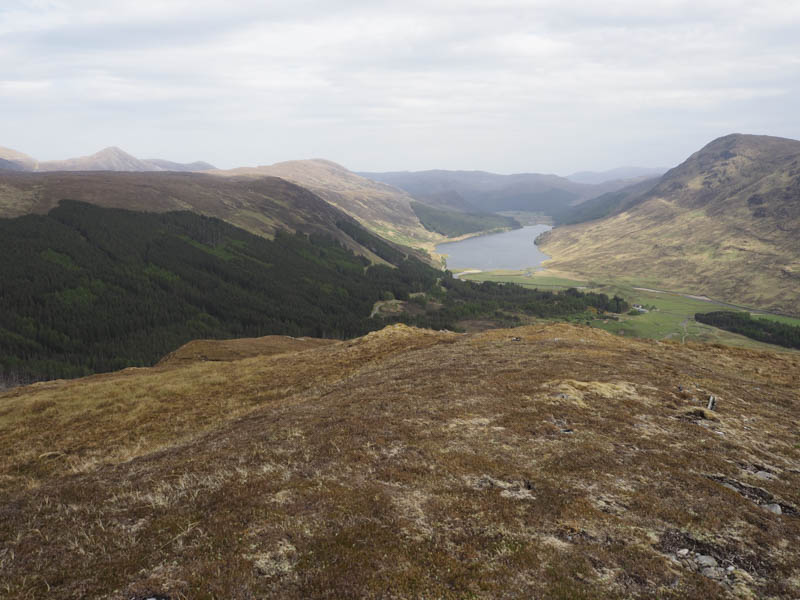
It was a glorious sunny morning as I set off on foot west along the tarred road, which wasn’t in great condition, towards Scardroy Lodge where the occupants had a grand view east out over Loch Beannacharain. The tarred road came to an end before reaching the Lodge where there were numerous rhodies in bloom.
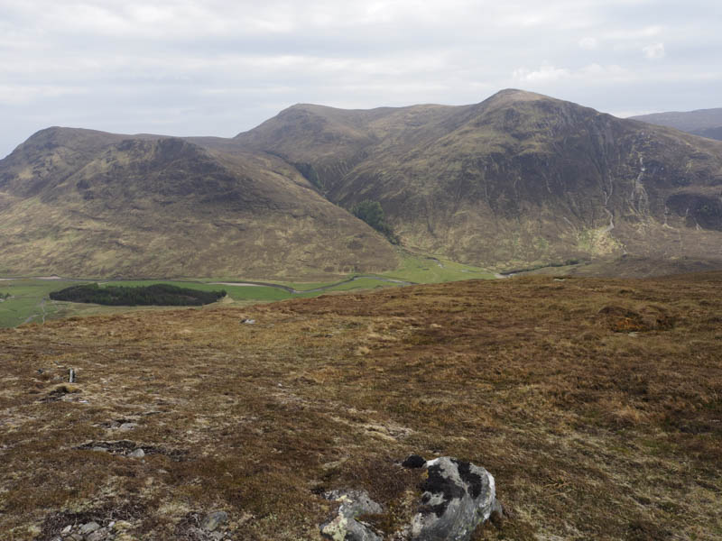
The estate track now headed south-west passed a few buildings and houses. At the final house in the glen, Corrievuic , the track split. One went south across the bridge over the River Meig, while I headed west along the track on the north bank of the river to the Allt Coir a’ Bhuic. With no bridge here I found a suitable crossing point upstream before rejoining the track. However the track soon left this stream and continued south-west gaining height.
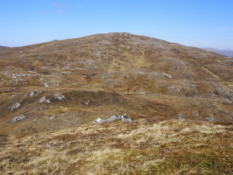
I soon came off the track and commenced the ascent of Creag Sgiathan’s East Ridge. It was a steady climb through rough vegetation with the occasional deer track and was warm work in the sun. The gradient later eased and there was now a pleasant breeze.
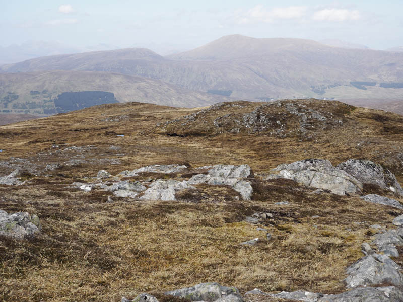
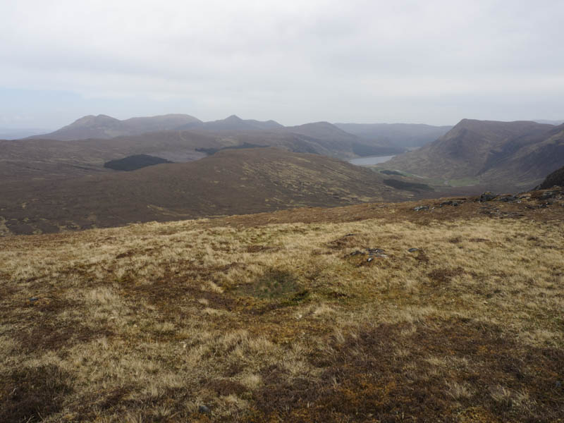
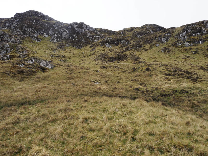
I left the ridge here and walked south-west through rough ground and vegetation with several small peat hags, boggy pools, knolls and dips. Eventually I reached the base of Creag na h-Iolaire although a direct ascent wasn’t possible due to its rocky north-east face. I ascended the heathery north-west face to reach the embedded pointed rock marking the summit of this Tump. Oddly there was a line of four clear glass empty bottles here. A layer of cloud now blocked out the sun.
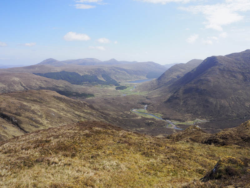
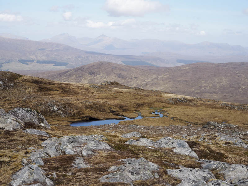
After spending some time at the summit lounging around and identifying the nearby hills I descended north-west onto the south-east ridge of Creag Sgiathan then over or around several knolls. The vegetation was shorter here with some stony ground making for reasonable progress. The summit of this Graham Top and Hump was reached, a rock 10 metres south of a small cairn marking its highest point.
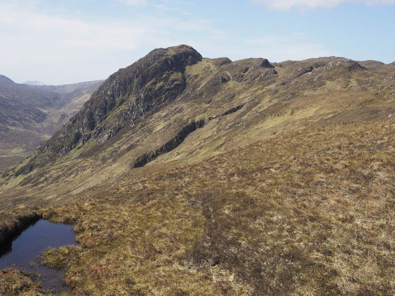
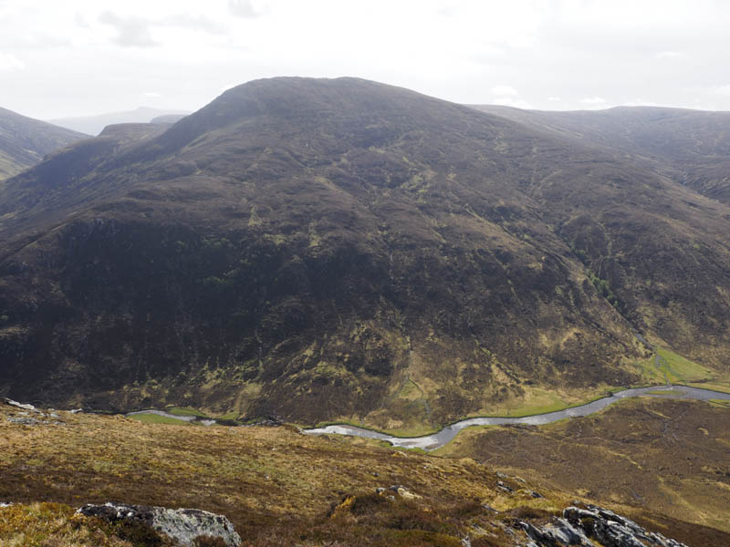
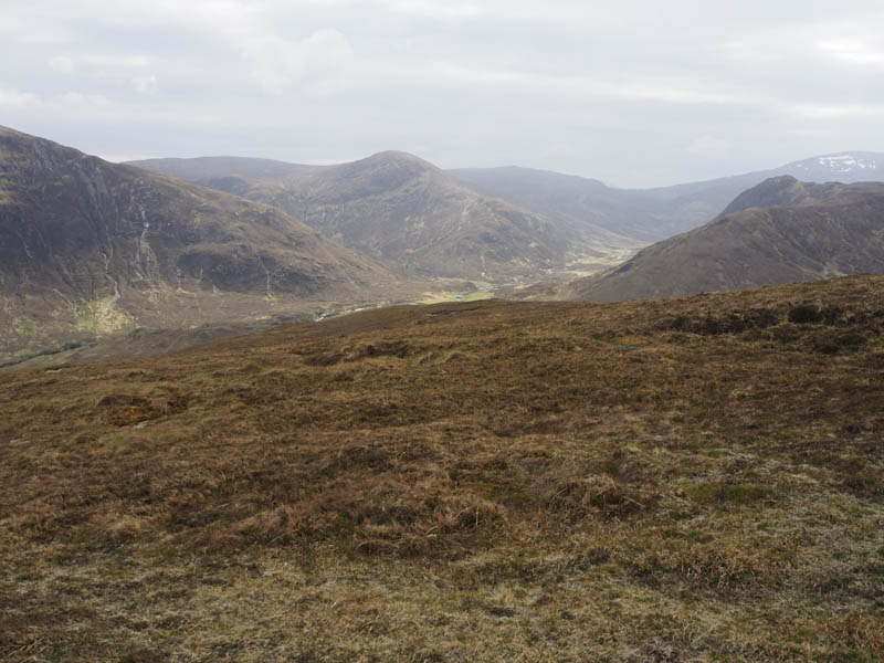
The next hill was to the north-east but a direct descent to Coire a’ Bhuic wasn’t possible due to crags. I headed north-west to and over Creag Coir a’ Bhuic.
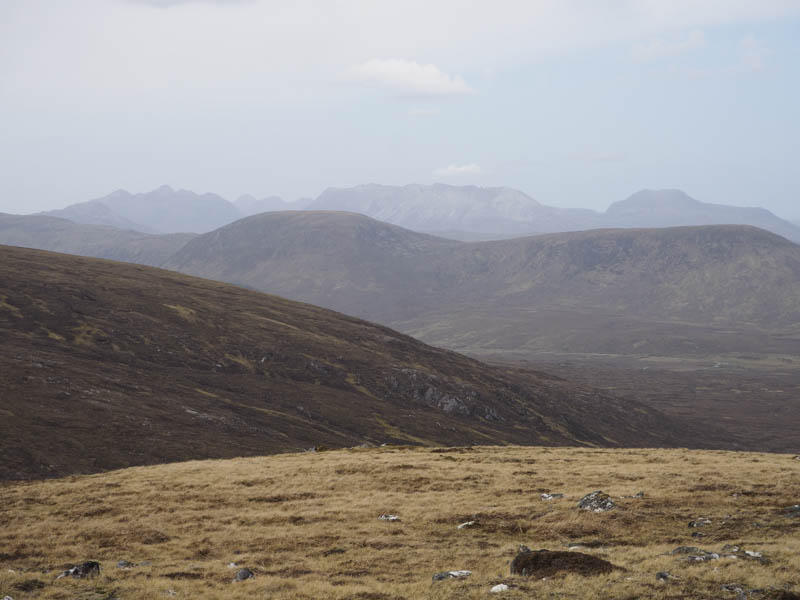
From there I descended steeply north-east then east and below Creag Coir a’ Bhuic, working my way round any crags. The route had been used by deer so their tracks were useful at times. It was slow going but wasn’t much faster as I crossed Coire a’ Bhuic where the ground was wet and boggy with some peat hags.
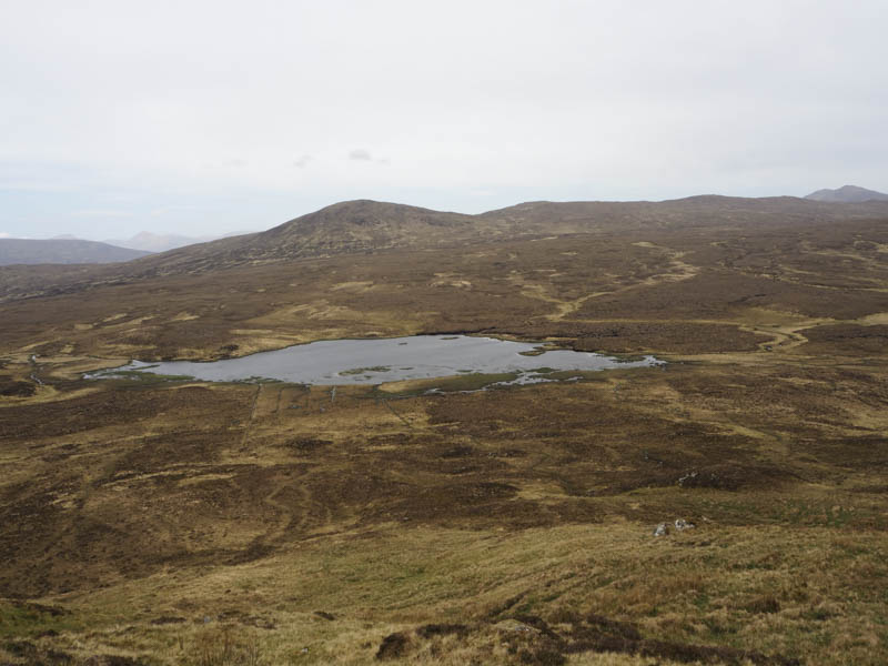
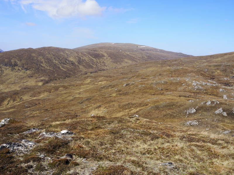
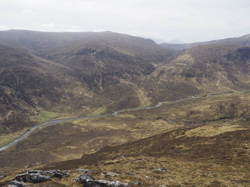
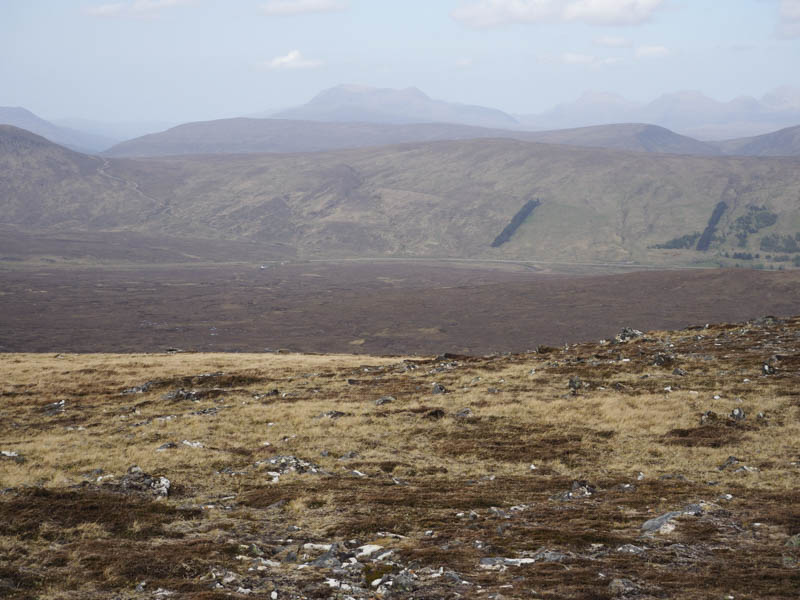
Once over this area there was still some peat hags and bog to contend with as I ascended Braigh na Leitire. The summit of this Tump was eventually reached, a boulder marking its highpoint although another boulder and ground nearby may have been as high.
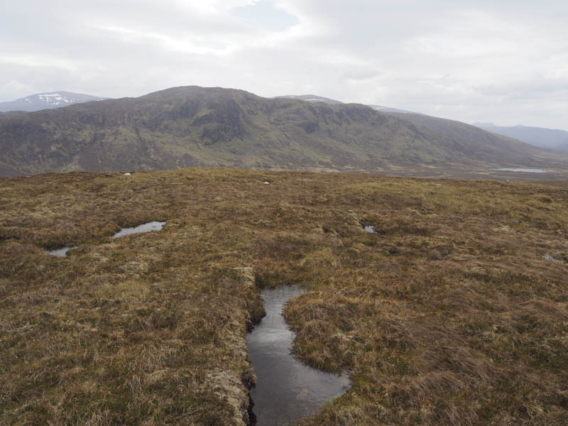
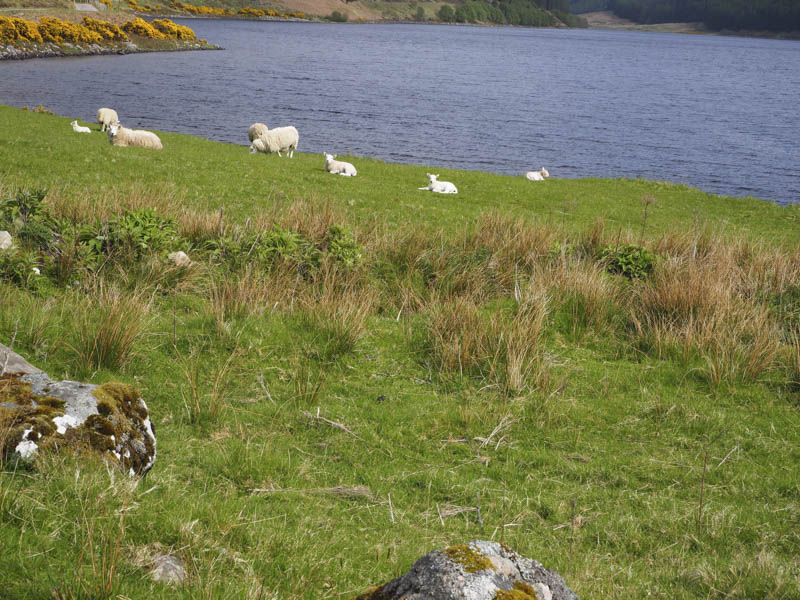
After a late lunch I crossed more boggy ground to reach the East Top then it was a fairly steep descent south-east through grasses and heather then lower down more boggy ground following deer tracks. This took me to the Scardroy Burn which was crossed twice, alternatively I could have walked round its west side, to reach the buildings at Scardroy. I then followed the vehicle track and road back to my car.
- Time taken – 7 hours.
- Distance – 18 kilometres.
- Height climbed – 820 metres.