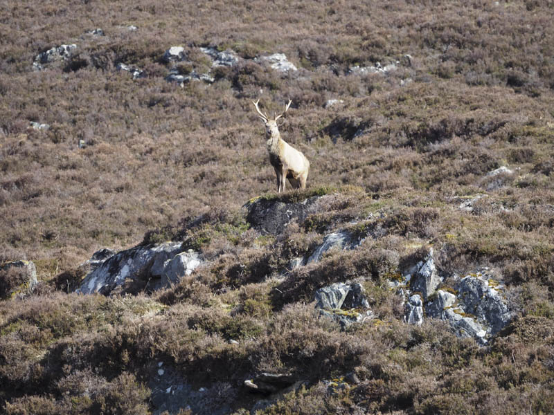
Creag Iucharaidh and Meall na Faochaig – With a reasonable weather forecast I headed up Strathconon, accessed from Marybank, north-west of Muir of Ord, to just beyond Inverchoran Farm and parked on the verge at a passing place. I then walked a few metres west to the start of a vehicle track while being watched by a stag perched above a rock.
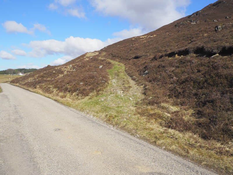
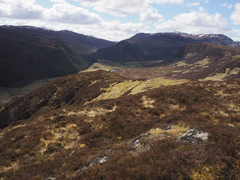
This track gradually rose in a north-westerly direction above the buildings at Carnoch before heading north then east towards Creag Iucharaidh coming to an end a couple of hundred metres before the summit of this Tump. Nearby there was an aerial with a cable running down to Carnoch.
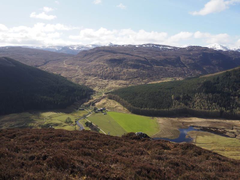
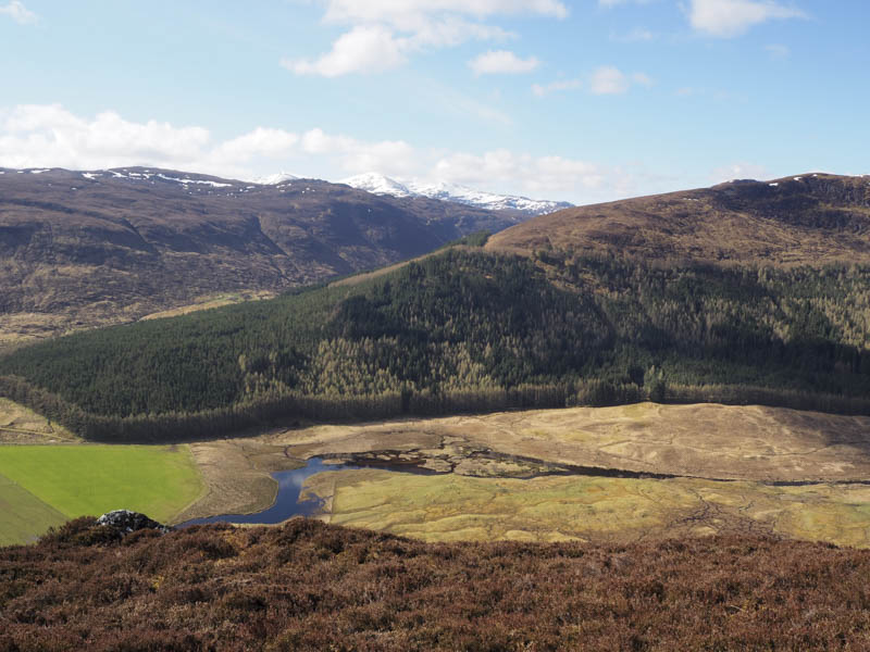
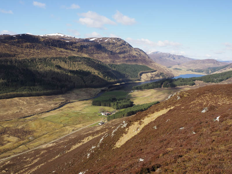
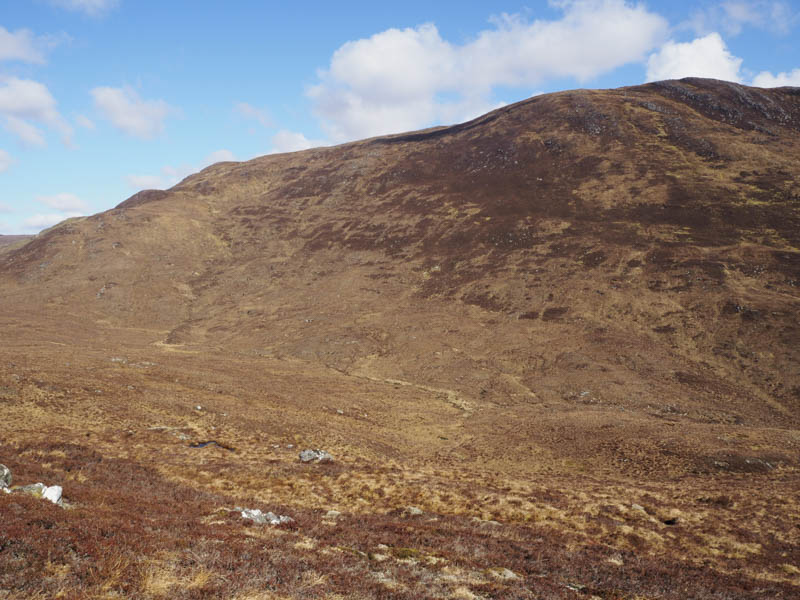
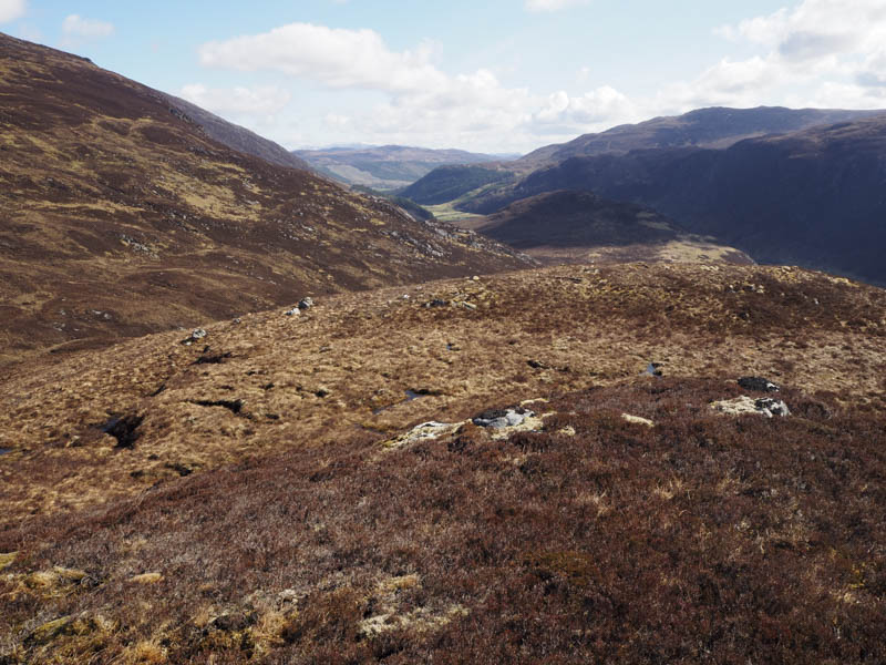
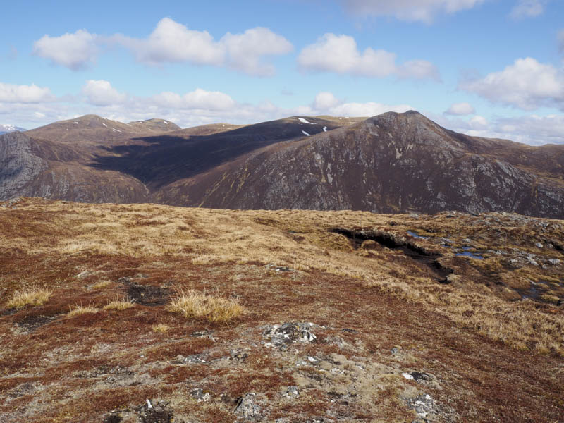
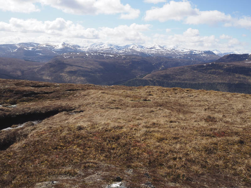
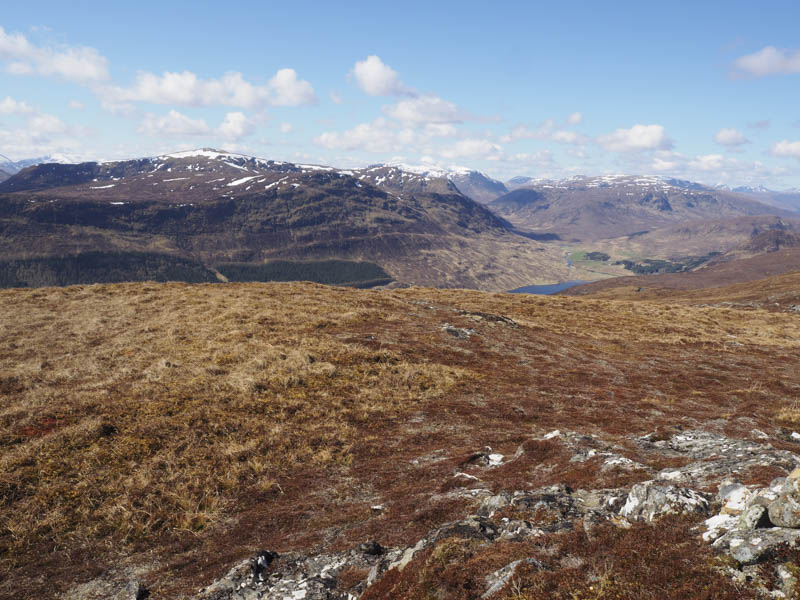
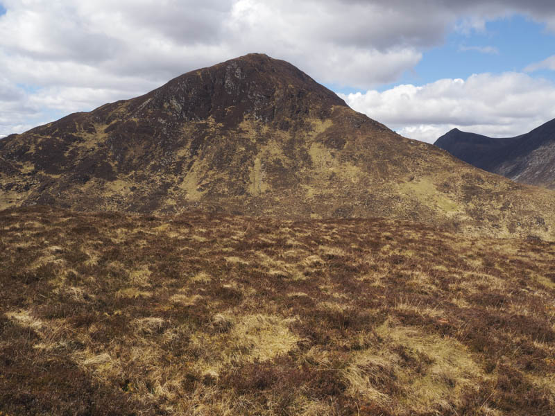
I continued to Creag Iucharaidh’s highest point before descending north-west then north climbing through heather to reach the summit of the Graham, Meall na Faochaig. Here there were good views of snow capped mountains.
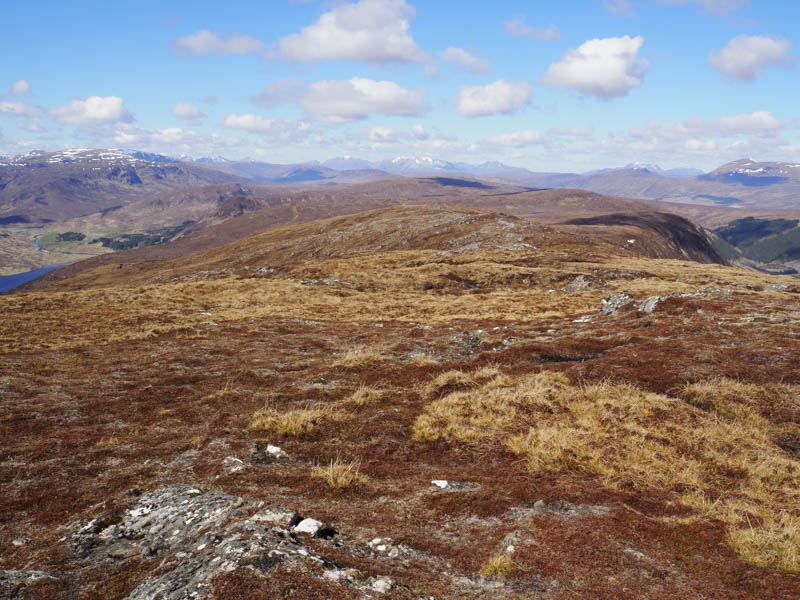
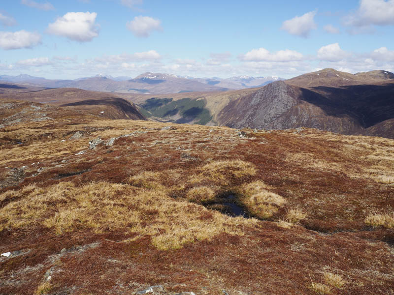
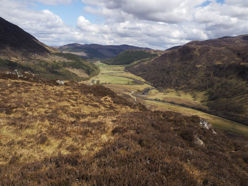
After spending time at the summit I descended south to reach the track used earlier that morning and followed it back to the start.
Clach Loundrain – On returning to my vehicle I drove a couple of kilometres north-east of Inverchoran Farm and parked at the side of the road to the south-west of Clach Loundrain. I then made the short ascent of this Tump before returning to the start by the upward route.
Scatwell Hill – I then drove to the east end of the Strath and to the minor road west of the River Conon and parked near the Luichart Power Station. I climbed through the well spaced trees to the summit of this Tump then returned by the ascent route.
Torr an Lair – Parked at the side of the minor road on the north side of the River Conon east of Comrie and crossed some boggy ground into an enclosure and to the summit of this Tump. The return was by the approach route.
- Total time taken – 4.5 hours.
- Total distance – 10 kilometres.
- Total height climbed – 785 metres.