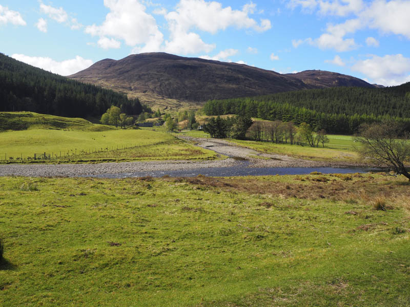
We left my car at the start of the private road leading to Inverchoran in Strathconon and walked down the track towards this farm with its three bridges consisting of two road bridges and a footbridge. The crossing of the first bridge over the Allt Gleann Chorainn, which led to a cottage, wasn’t a problem but then involved a crossing of the bridgeless Alltan Sgeireach which was fairly low on the day of our visit. The other two bridges which would avoid this crossing are accesses to the farmhouse and thus out of bounds to walkers.
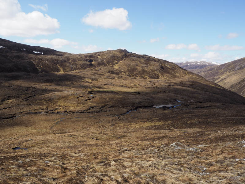
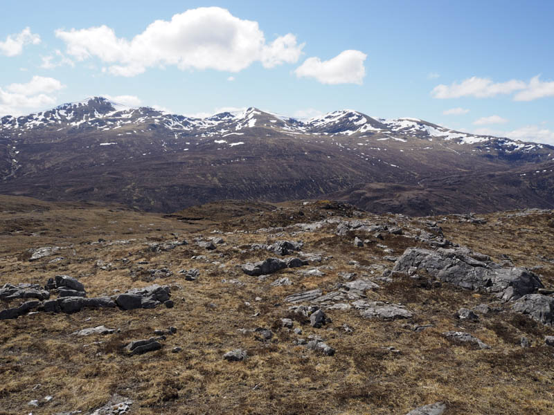
The track up Gleann Chorainn was briefly followed before we headed south up the track below Creagan a’Chaorainn later leaving it to climb this Tump.
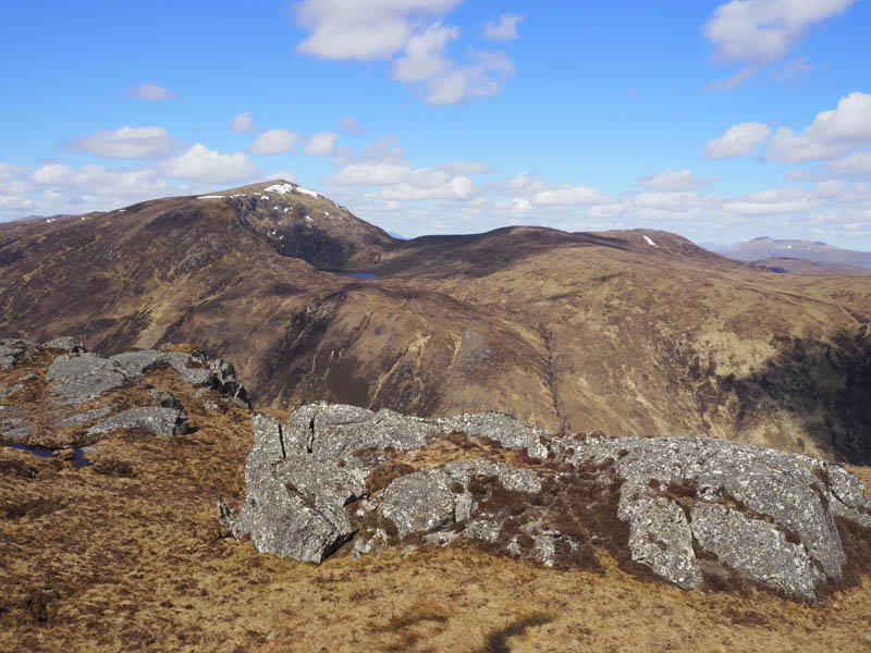
The walk then continued to the south of a small lochan before ascending the Graham Top, Beinn Mheadhoin West Top. From there a short descent was followed by an easy climb to the summit of the Graham, Beinn Mheadhoin.
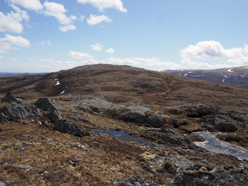
We descended south-east and climbed the Sub Simm, Creag a’Ghlastail, before heading north onto the east ridge of Beinn Mheadhoin.
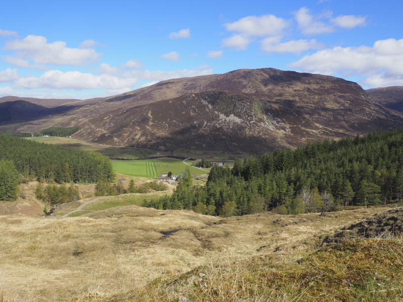
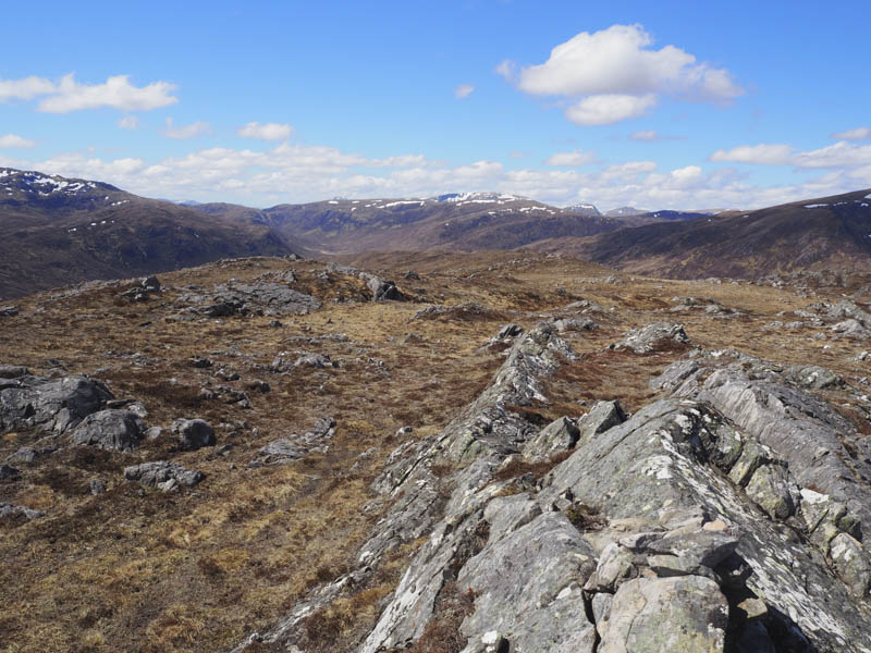
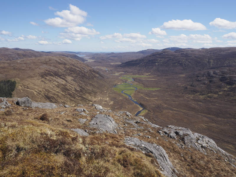
It was then a steep descent to the vehicle track. Once across it we climbed along the north edge of a small plantation where there was deep bog churned up by deer. It took a while to negotiate a route through this quagmire and beyond the trees, despite some peat hags, the walking became easier. We crossed a small knoll to gain the summit of the Hump, Carn na Cre, where we took a break with views down into Glen Orin.
Afterwards we returned over the knoll and descended north-west to the Alltan Sgeireach where an old vehicle track through the trees then some deer tracks at the side of the stream was followed before crossing the burn to reach the vehicle track in Gleann Chorainn. We then reversed our route round Inverchoran Farm and returned to my car.
- Time taken – 6.25 hours.
- Distance – 13 kilometres.
- Height climbed – 810 metres.