I left my vehicle in the car park at the end of the public road in Strathconon, located mid way along the north shore of Loch Beannacharain, and accessed along a single track road from the A832 at Marybank.
To the north of the parking area the hillside had been fenced off from the deer due to tree planting but a gate in the deer fence allowed entry. A little used vehicle track then rose steadily through the plantation to the upper fence where there was another gate.
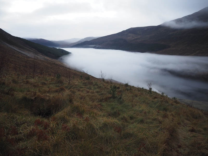
Beyond, the vehicle track came to end so I headed north-east then later north across the moorland. Higher up there were lots of peat hags and after working my way through them I climbed to the summit of the Tump, Cnap na Feola, which was marked by a cairn.
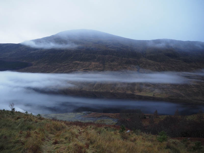
In low cloud I descended WNW through more peat hags before commencing the ascent of Carn an Leanaidh. There was little change in the underfoot condition as I climbed to the summit of this Tump which was marked by a rock.
After a break I headed off in a north-westerly direction with even more peat hags to contend with. I then climbed the Tump, Carn a’ Chaorainn, followed by its North-West Top. My route then continued west to the col with Carn Mhartuin then I ascended this Tump where the highest point was marked by a trig pillar.
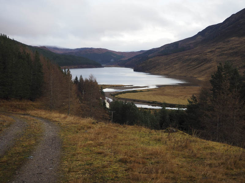
The descent south took me to a vehicle track, a Right of Way between Achnasheen to Strathconon, which was followed south-east into and through the forest before emerging near Scardroy Lodge. A short walk along the tarred road returned me to the car park.
- Time taken – 5.5 hours.
- Distance – 15.5 kilometres.
- Height climbed – 685 metres.