The starting point for the ascent of the Graham, Carn Salachaidh, was Strathcarron, reached along a single track road from the A836 at Ardgay. Parking near the start of the vehicle track opposite Gruinards Lodge wasn’t possible due to mud so I found a more suitable spot further east at the edge of a passing place and beside a stock gate without obstructing either.
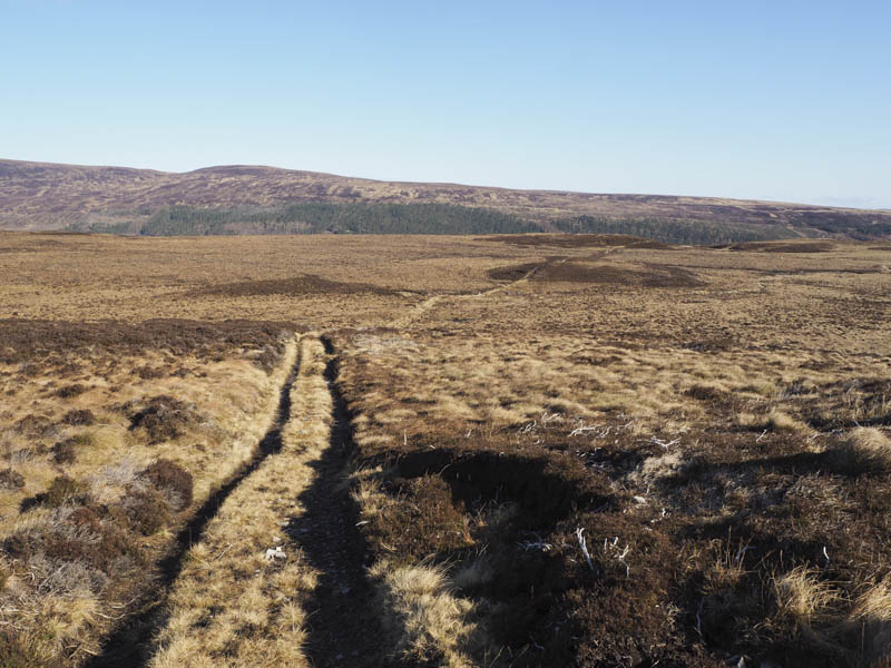
I set off across the gate, through the well spaced trees and onto the open hillside gradually gaining height before joining the grassy vehicle track which was part of my planned route. After a short walk south along this track I came to a gate in a deer fence and beyond it the track gradually deteriorated with sections of bog as it crossed featureless moorland to the east of Carn Mor. It was also a bit overgrown and reverted to a path as it descended into the gully of the Allt a’ Ghlinne where it came to an end.
Once across the burn I climbed south-west through long heather, occasionally following deer tracks, to reach the col east of Cnoc nan Sac.
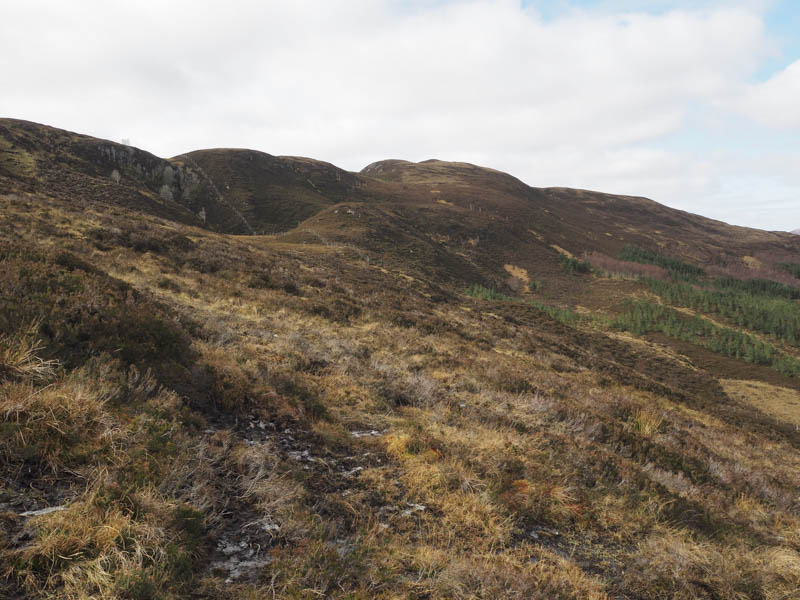
Here a deer fence was crossed then I walked through some young fir trees before climbing to the summit of this Tump where the highest point wasn’t obvious so I visited a couple of possibilities.
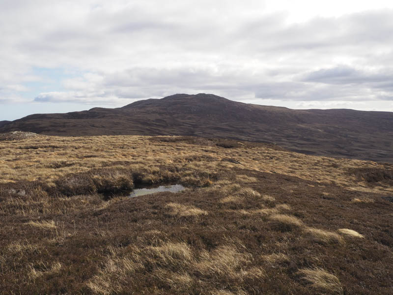
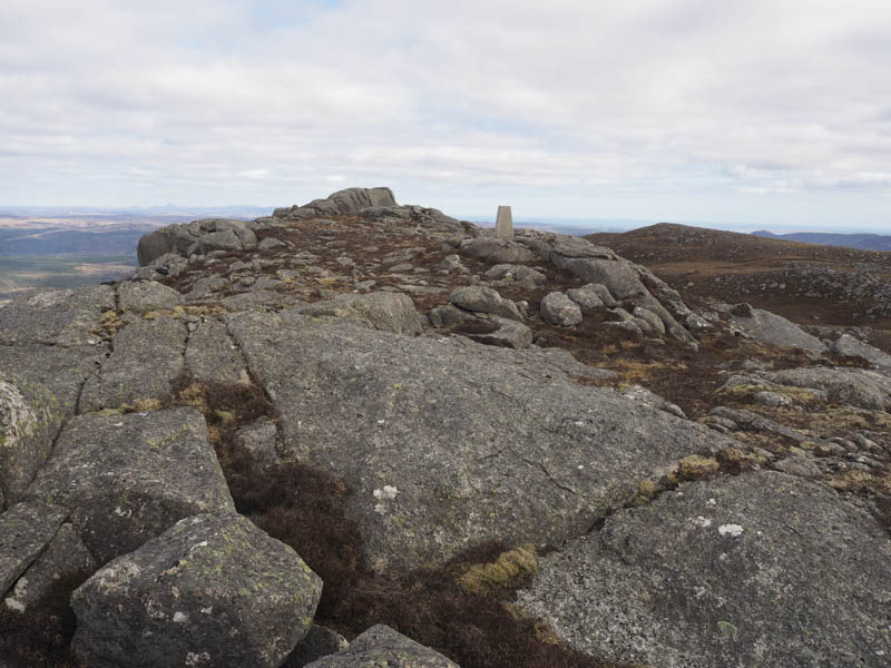
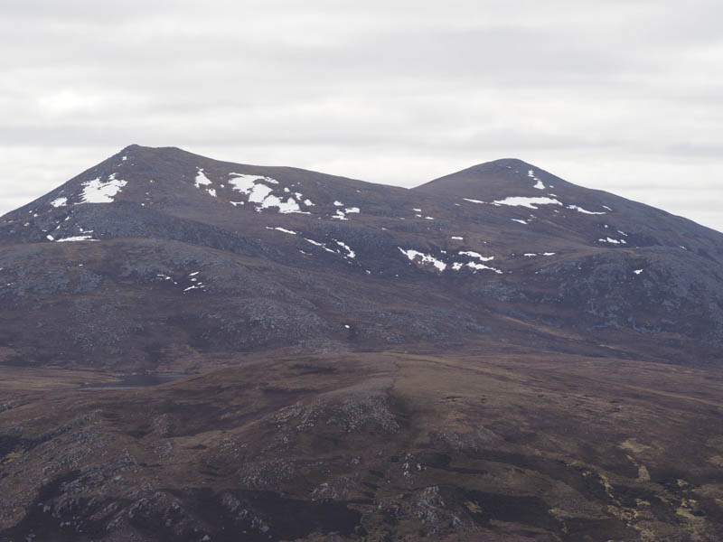
I returned to the col, crossed rough vegetation and ascended Carn a’ Bhealaich, before continuing through more heather and some rocks to reach the summit trig point on Carn Salachaidh. A large granite boulder to the east was higher.
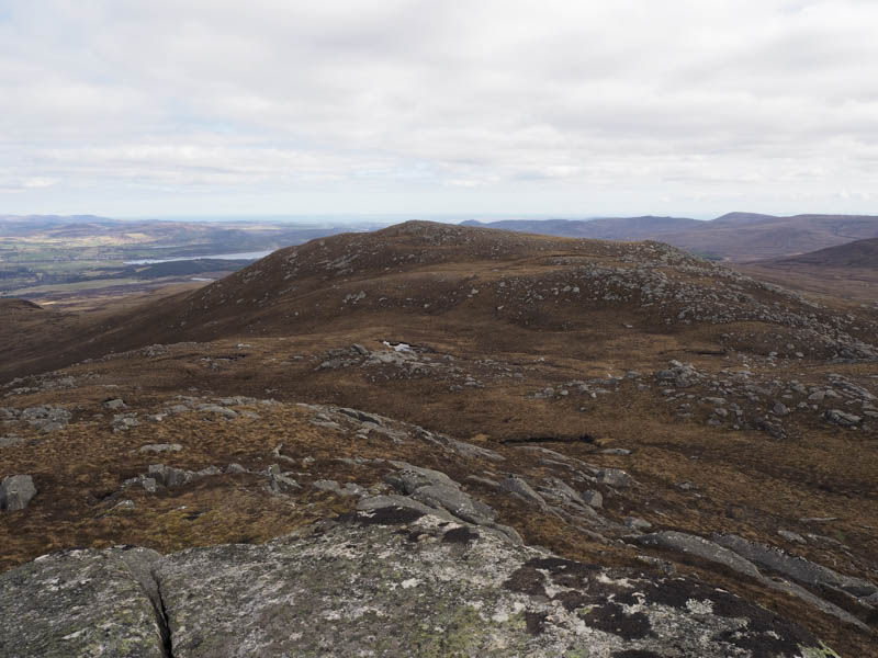
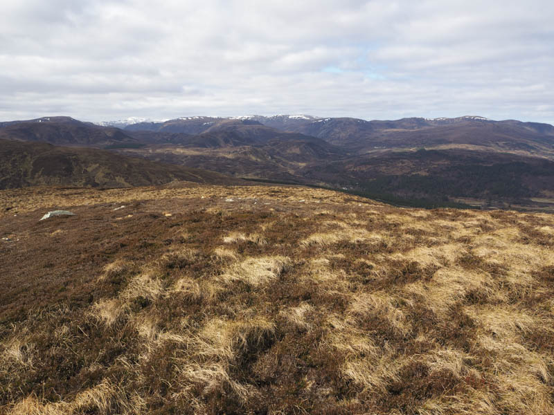
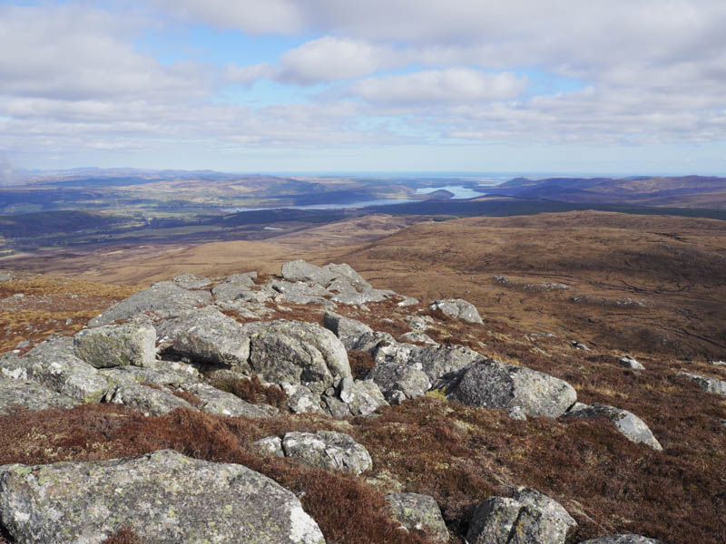
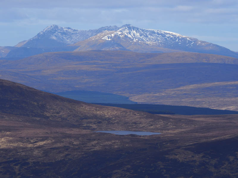
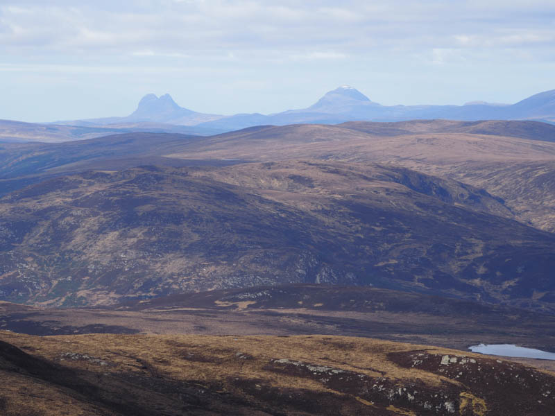
After a break here I descended to the col with Carn Bhrain and made the easy walk to the summit of this Graham Top where there were views out over the Dornoch Firth towards the Moray Firth.
I then returned towards Carn Salachaidh, worked my way round its north side then the west side of Carn a’ Bhealaich before descending though more long heather to the Allt a’ Ghlinne. The outward route was then followed back to the start.
- Time taken 7 hours.
- Distance – 17 kilometres.
- Height climbed – 905 metres.