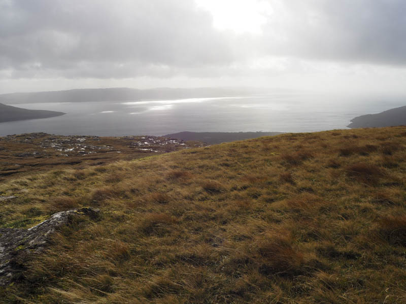
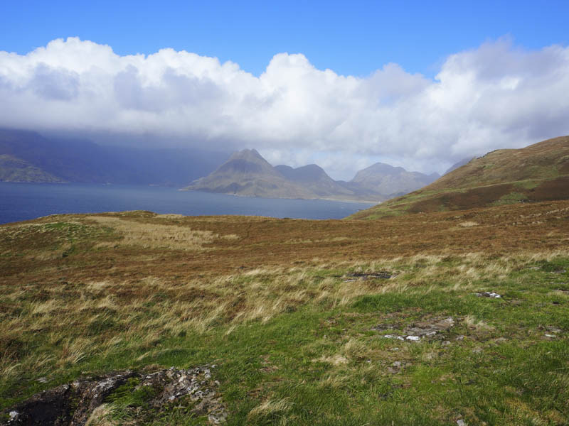
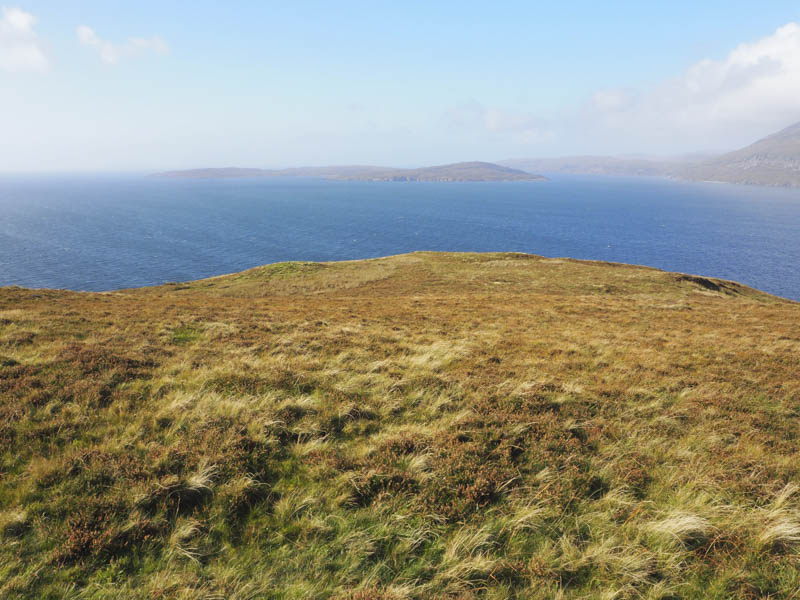
Nead an Fhior-eoin – This hill was located in the Strathaird district on the Isle of Skye and was positioned on the west side of the B8083 Broadford to Elgol Road. Parking at my planned starting point, the east entrance to Strathaird House wasn’t possible, so I parked opposite the south entrance and walked the 500 metres back up the road. The east entrance was obviously no longer used as it was just a grassy track.
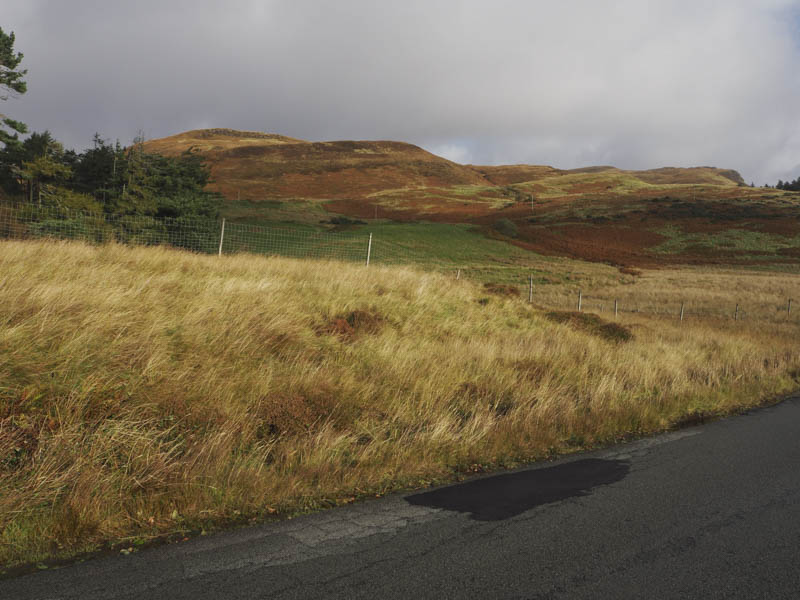
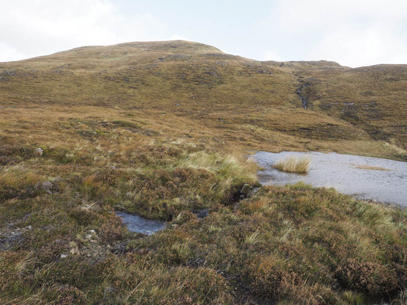
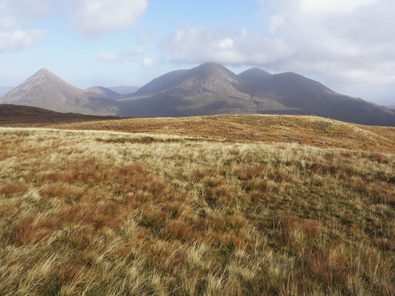
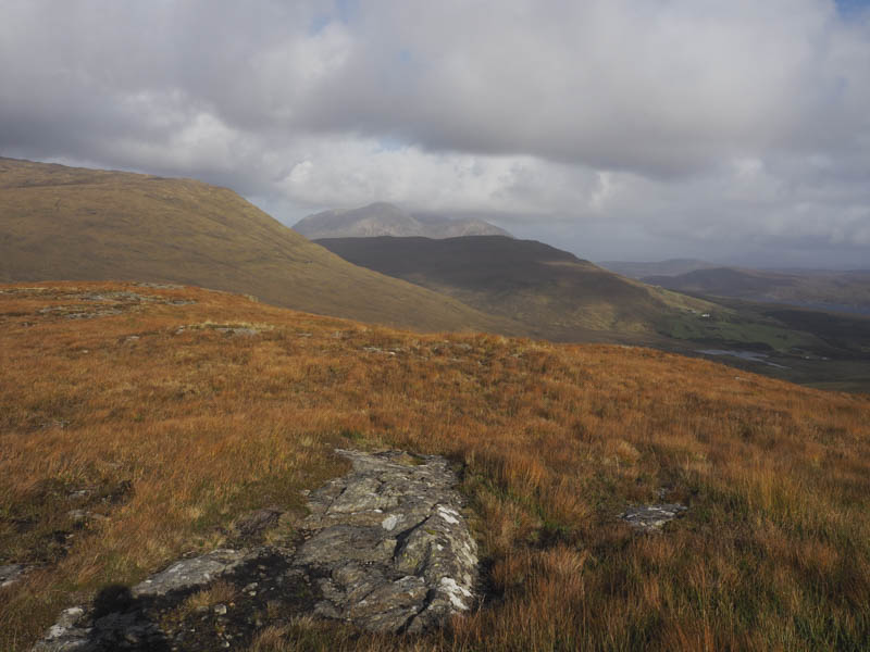
I briefly walked along this grassy track before leaving it and heading north through grass, avoiding the gorse bushes, to a stock gate in a deer fence. A bit pointless as the deer can easily leap the gate. Anyway once beyond it I followed some animal trails then headed through longish vegetation, including heather, gaining height. This led to a wee lochan then it was a steeper climb up the side of a small waterfall and onto Nead an Fhior-eoin. The highest point of this Hump was an outcrop.
The return was by the approach route.
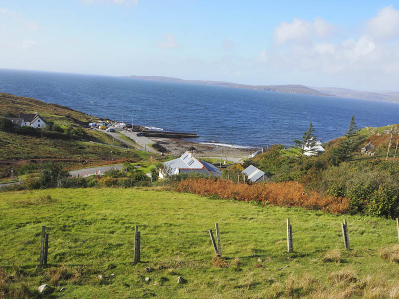
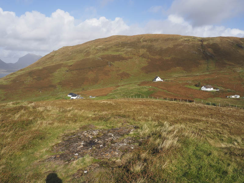
Bidein an Fhithich – From the parking area in the hamlet of Elgol, at the south end of the B8083 from Broadford,
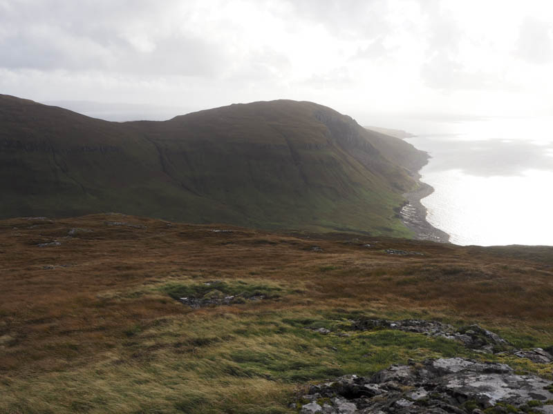
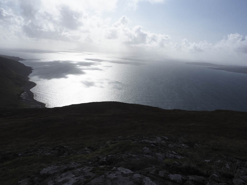
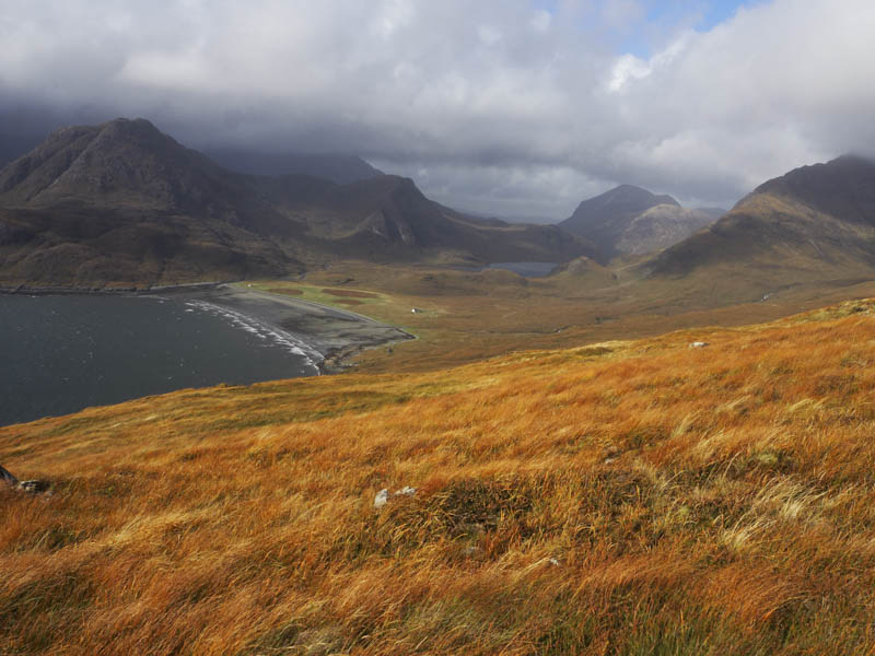
I walked fairly steeply back up the road to the signpost for Camasunary as parking nearer this point was discouraged. This tarred road took me north passed a few houses to a pedestrian gate leading to a narrow track running between two fences. At a second gate, which was tied down but easily crossed, I left the path and climbed east then north-east through grass onto the summit of the Tump, Bidein an Fhithich. The highest point was either some grass or an outcrop, difficult to tell.
I then returned by the ascent route.
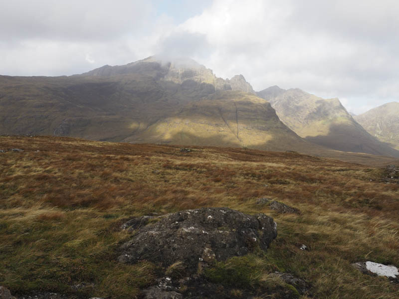
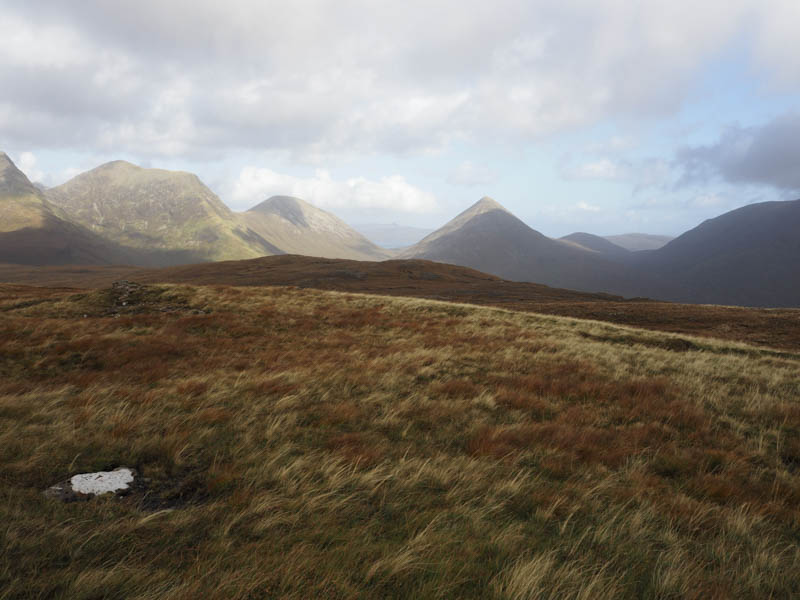
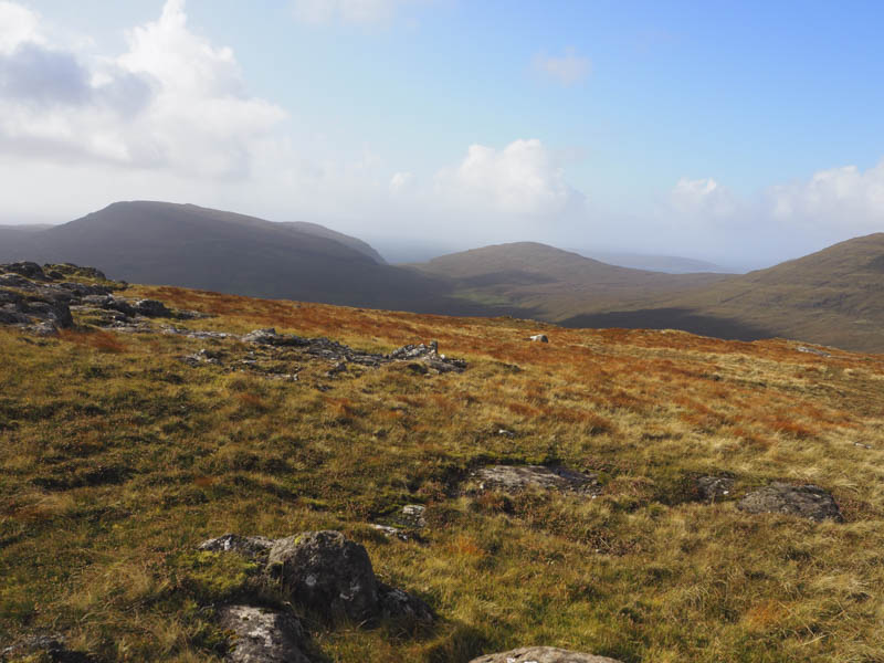
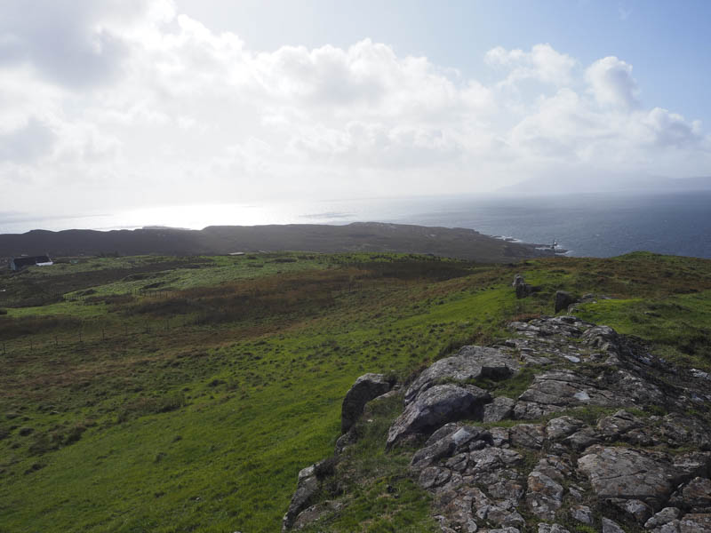
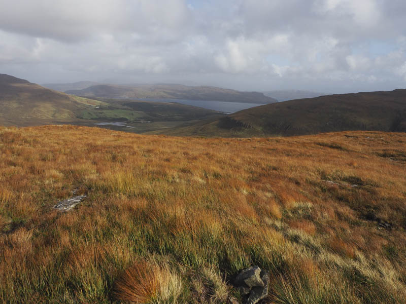
Beinn Leacach – I left my car in the parking area on the east side of the B8083 Broadford to Elgol Road, south-west of Kilmarie, (NG545171) crossed the road, went through a gate, and walked north-west along a rough track gaining a bit of height. This height gain was lost as the track descended to a stream which was easily crossed. The track then continued north-west regaining the lost height and at a large cairn, which appeared to have no significance, I left the track and walked west through rough, longish vegetation and soft ground making it a bit of a plod onto the north ridge of Beinn Leacach where the going was easier. There were two possible high points for this Tump, some grass and an outcrop, so I visited both before returning by the upward route.
- Total time taken – 4.5 hours.
- Total distance – 12.25 kilometres.
- Total height climbed – 700 metres.