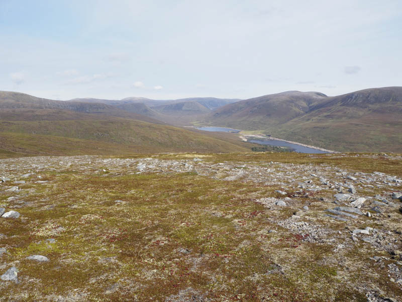
I parked beside the Black Bridge on the A835 Garve to Ullapool Road east of the Aultguish Inn and walked north up Strath Vaich on the tarred road to the east of the Abhainn Srath a’ Bhathaich for around 3.5 kilometres.
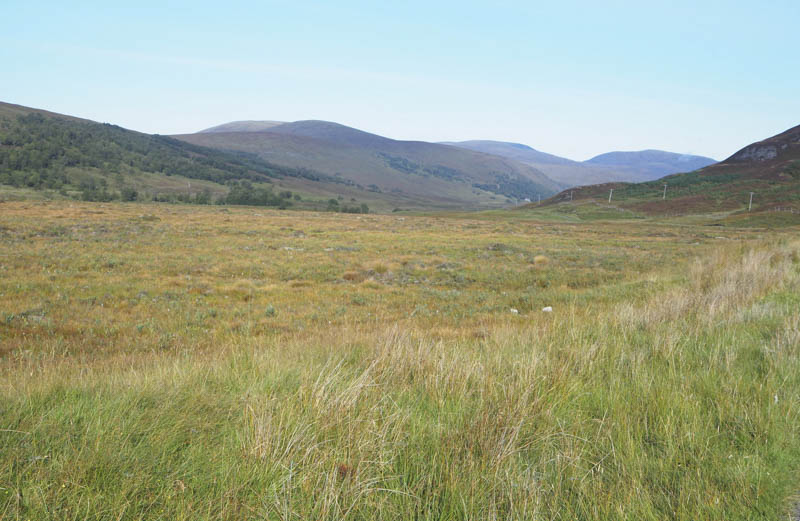
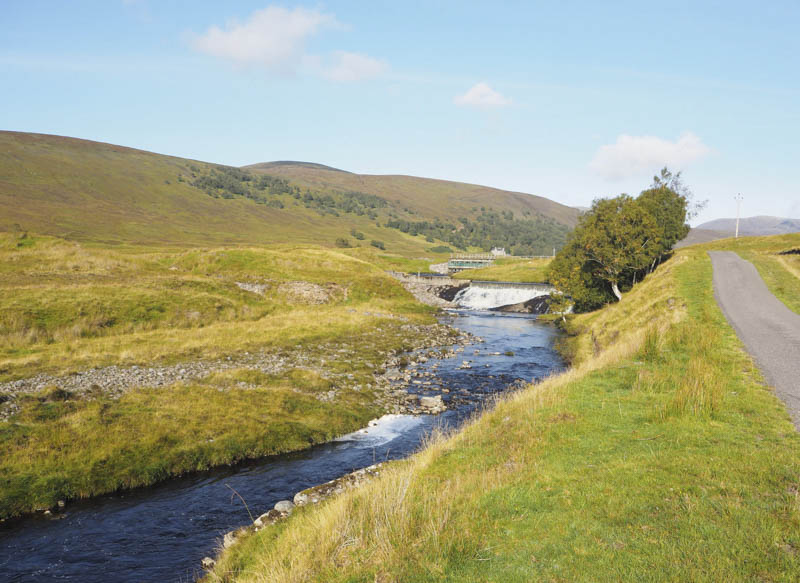
Just beyond the weir we crossed the stream via a bridge and continued along the tarred road to Strathvaich Lodge.
North of this property a wet and boggy ATV track rose steeply through the trees the gradient later easing.
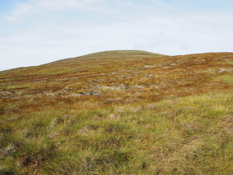
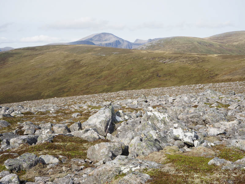
Once east of Meall Coire nan Laogh we left the track and climbed through rough vegetation onto the summit of this Sub Simm, the highpoint being a rock 45 metres NNW of the large cairn.
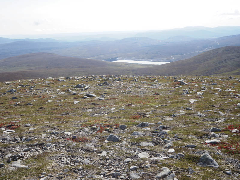
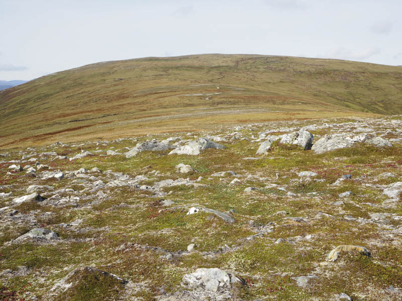
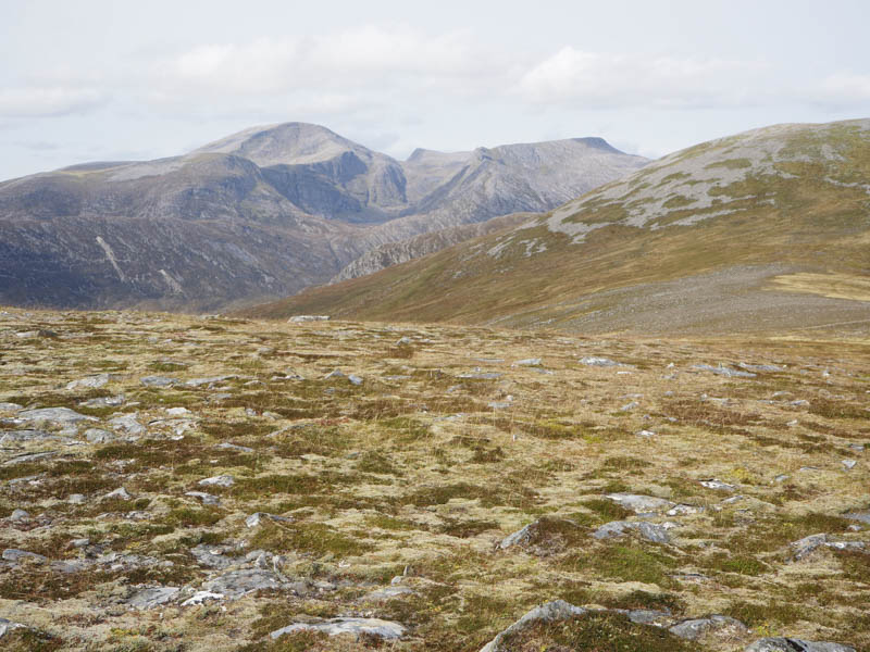
It was then an easy descent north-west to the col with Tom Ban Mor where we rejoined the track which was a bit flooded at this point. The track continued north-west, not such an obvious scar on the hillside, and at a bend in the track we left it and climbed to the cairn marking the summit of the Graham Top, Tom Ban Mor.
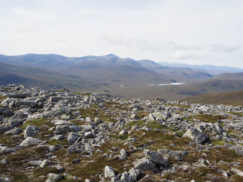
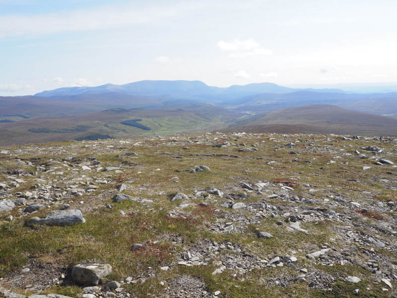
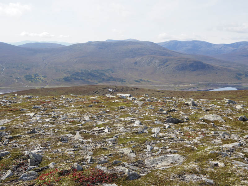
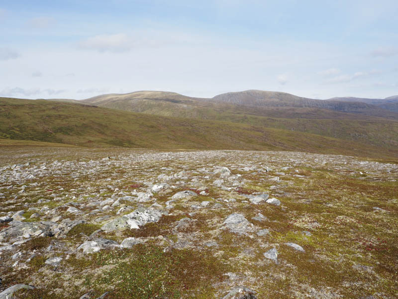
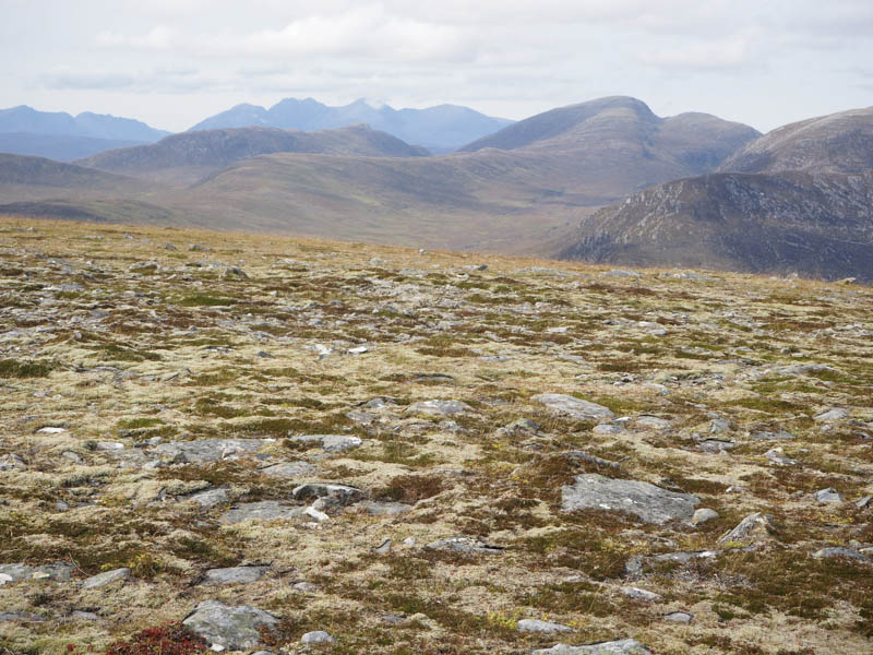
We headed north off this hill on some stony ground to rejoin the track below Creag Rainich then on a gentle gradient to the summit of Sron Liath. The highpoint of this Graham Top was an embedded boulder 8 metres SSW of the cairn. Here we had good views of the Beinn Dearg Group of Munros.
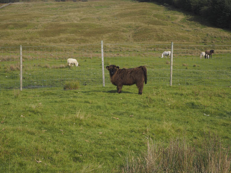
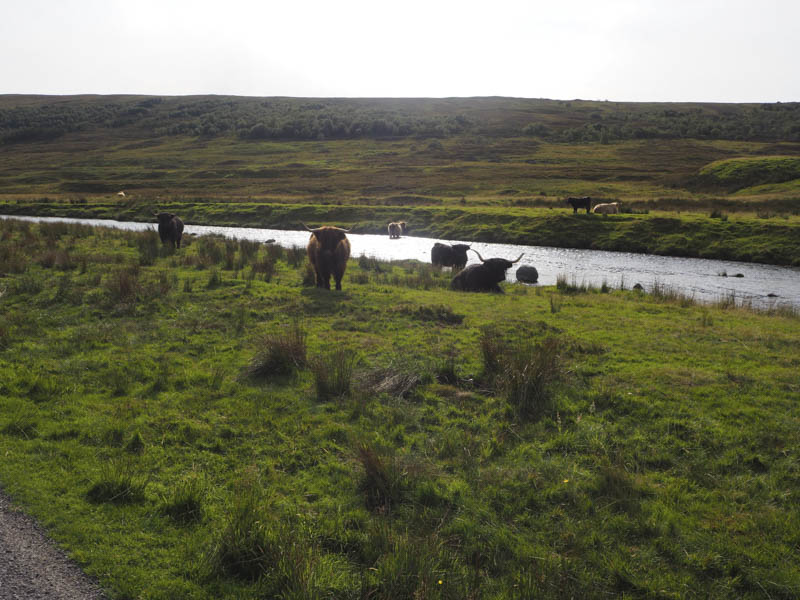
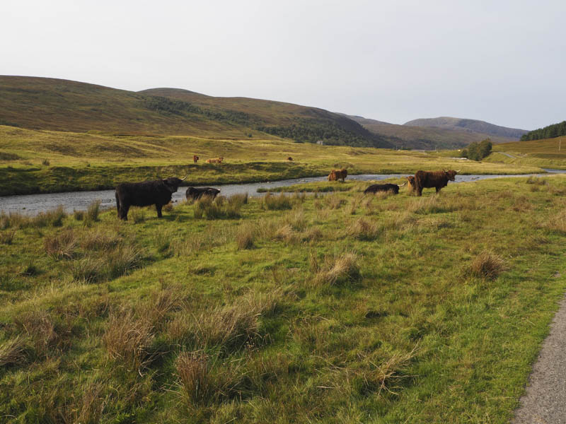
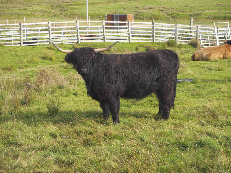
After a break at the summit we descended by the ascent route using the ATV track and avoiding re-ascending Tom Ban Mor and Meall Coire nan Laogh. On reaching Strathvaich Lodge the tarred road was followed back to the start passing through a herd of cattle.
- Time taken – 6.25 hours.
- Distance – 20.25 kilometres.
- Height climbed – 785 metres.