Meall an Fhuarain – I drove north on the A836 Lairg to Altnaharra Road to Strath Vagastie and parked off-road close to an area of woodland. (NC538292) On leaving my vehicle I headed west up the edge of a deer fence, the route obviously used by deer as it was a bit muddy in sections.
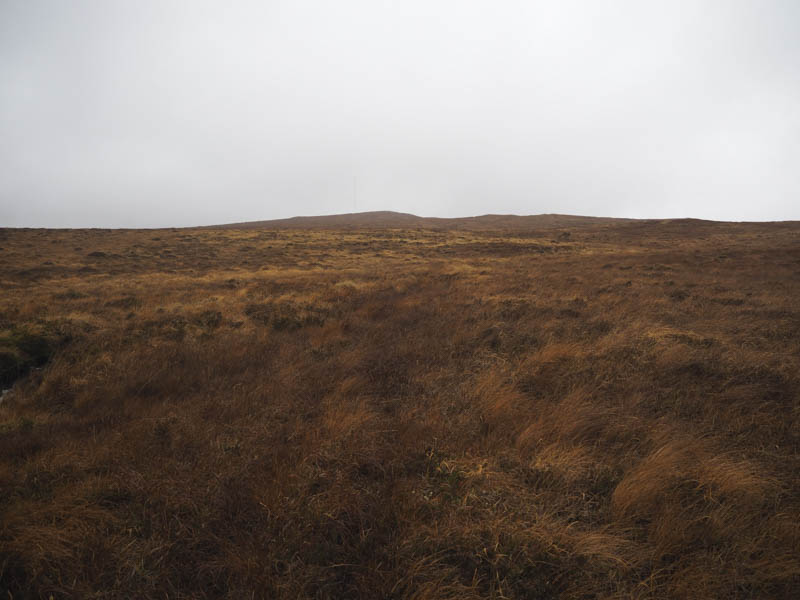
Beyond the forest and fence there were traces of a path going north-west up the side of a stream but I later left this path and headed directly to the 418 knoll where there was a cairn and large mast.
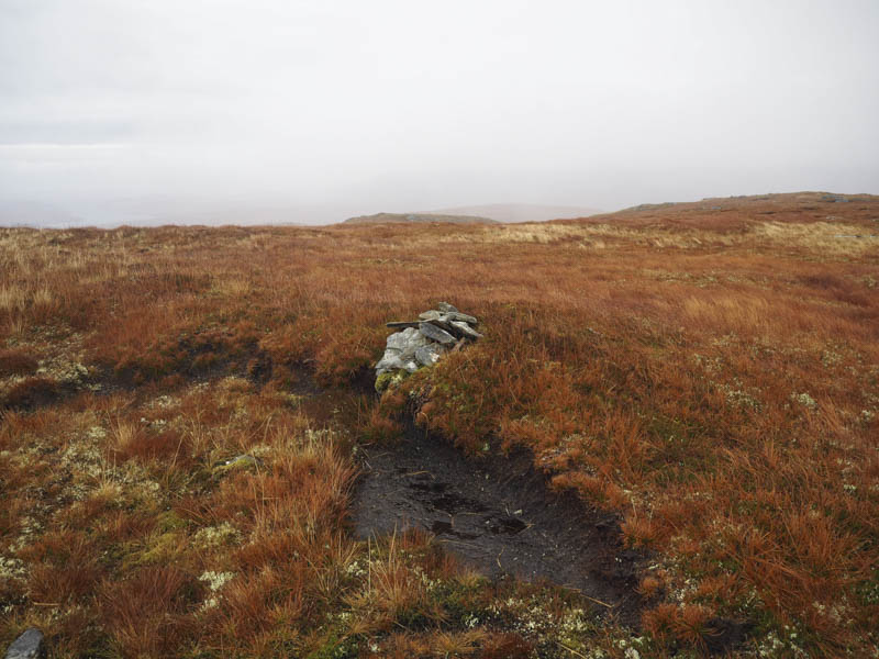
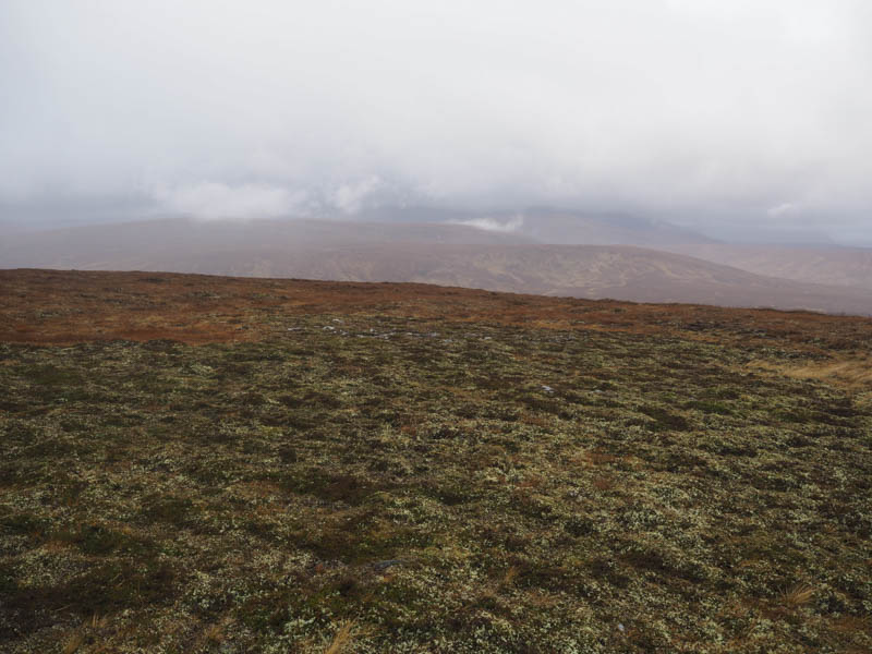
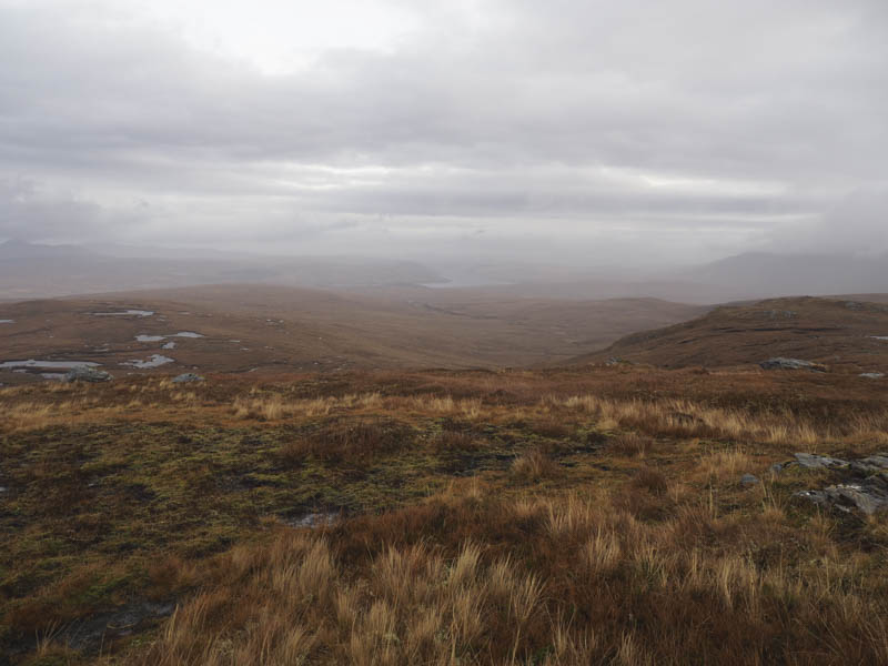
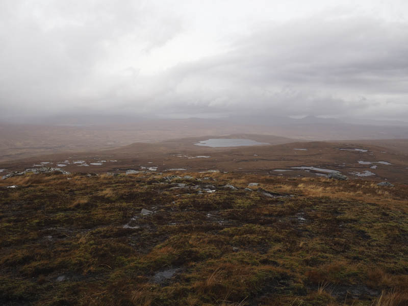
A slight descent took me to the col with Meall an Fhuarain then I headed out to this Marilyn, passing a couple of lochans en-route, before locating the small cairn which apparently marked the highest point. The views weren’t great but at least I was still below the cloud base. The return was by the ascent route.
Cnoc Olasdail – On my drive back south on the A836 I stopped east of Strath Tirry to climb Cnoc Olasdail. I parked at the start of the forest track at NC551186 and walked north-west along the track into the Plantation and below Cnoc Olasdail. I later left the track and climbed through brash, long and soft vegetation and some new tree plantings, to reach the summit area which was in open ground. It wasn’t obvious where the highest point of this Tump was so I walked through the long heather crossing its summit. Afterwards I descended to the forest track through similar underfoot conditions as per the ascent and returned to my car.
Knockdhu – My final stop was immediately east of Lairig where I left my vehicle in the parking area at the start of the track into the Gunnis Plantation on the south side of the A839. I walked along the vehicle track later leaving it and crossing brash and fallen trees to gain Knockdhu’s summit area visiting a few different points as the highest one of this Tump wasn’t obvious. I thereafter descended west later locating a path through the trees which took me back to the start.
- Total time – 3.25 hours.
- Total distance – 9.75 kilometres.
- Total height climbed – 450 metres.