Cnoc an t-Sidhein Mor – I drove up Strath Rusdale, reached from the B9176 Struie Road at Ardross, to near the end of the public road parking at the start of the vehicle track below the Keeper’s Cottage. I walked up this track, went through a stock gate width gap between two deer fences, and crossed some wet ground obviously used by deer as the gap between the fences widened.
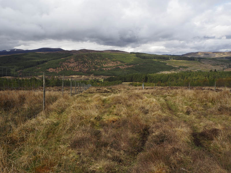
Beyond these enclosures the ground was wet and boggy, crossing a muddy track en-route to the foot of Cnoc an t-Sidhein Mor.
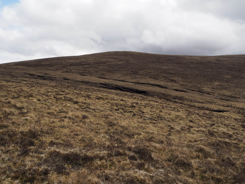
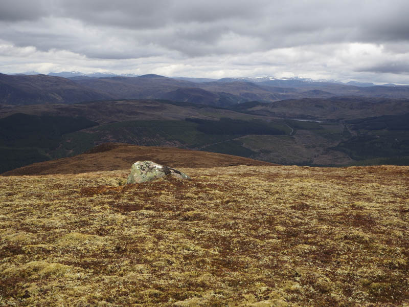
I followed a deer track as it crossed the hillside gradually gaining height. At a couple of large boulders I left this track and climbed through heather and grasses onto the south side of the hill. I could now see the summit but to reach it involved walking across some rough vegetation, tussocks and peat hags then it was easy going to reach the large cairn on a boulder marking the highpoint of this Graham Top.
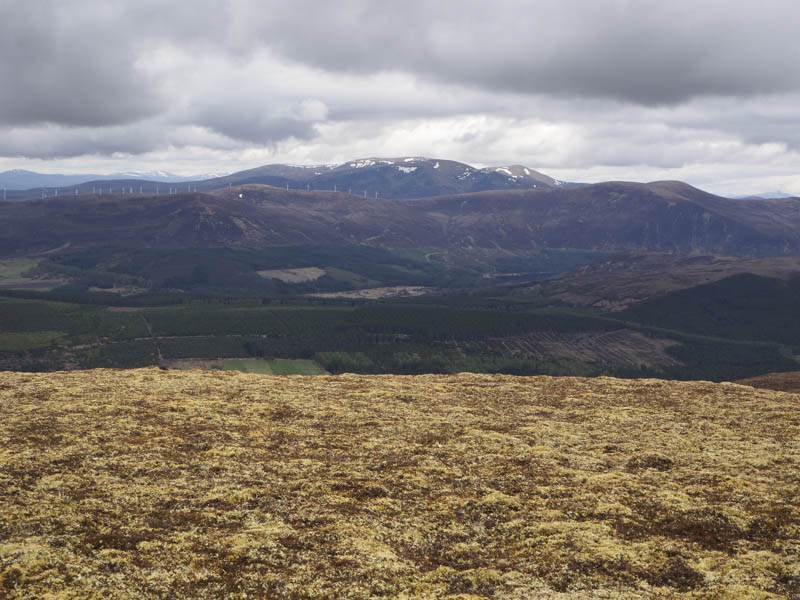
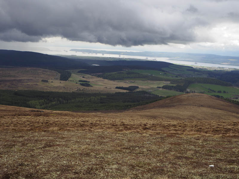
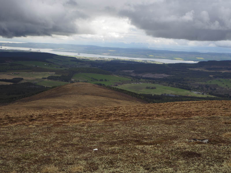
There was some light rain but looking at the cloud over Nigg Bay it appeared they were encountering a downpour.
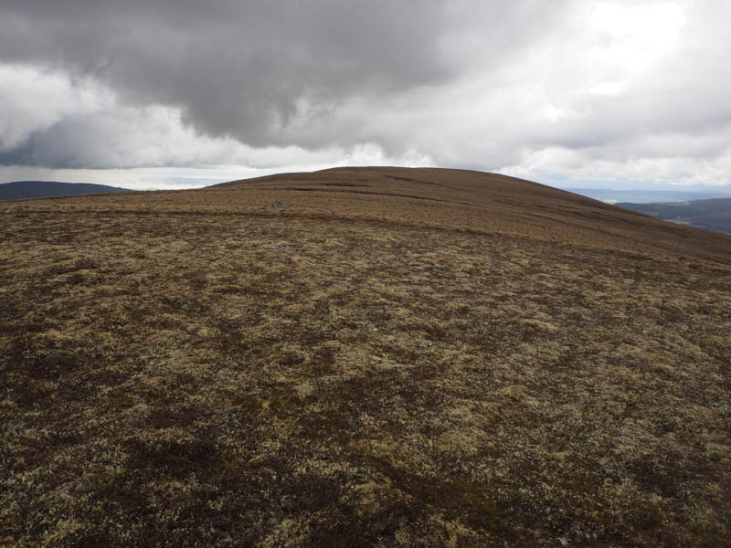
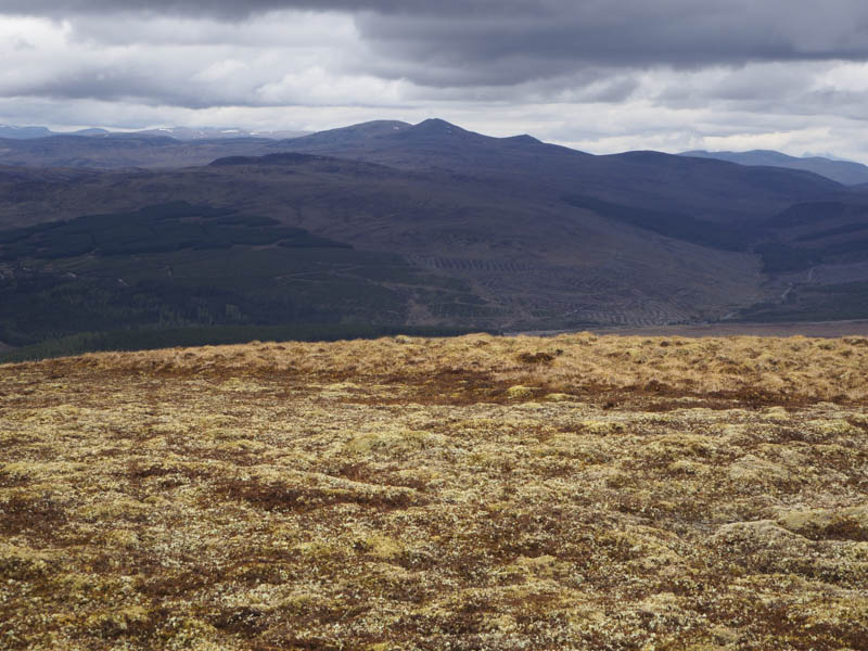
The South-East Top, some 600 metres away, was possibly the same height so I walked to its cairn then slightly beyond for a photo of Nigg Bay.
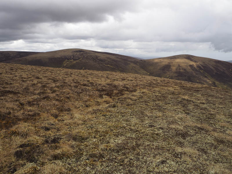
On returning to the South-East Top I descended north-west, again through rough vegetation and peat hags to the boulders below Cnoc an t-Sidhein Mor, then returned to my car by the approach route.
Cnoc na Sroine – I drove back down Strath Rusdale to the long straight south-east of Inchlumpie and the start of the vehicle track at NH601748. I read that it was possible to drive along this track but signs indicated otherwise. I parked at the start of the track on the opposite side of the road then walked down the vehicle track to the bridge across the Black Water, overtaken by a logging lorry, and passing a couple of houses.
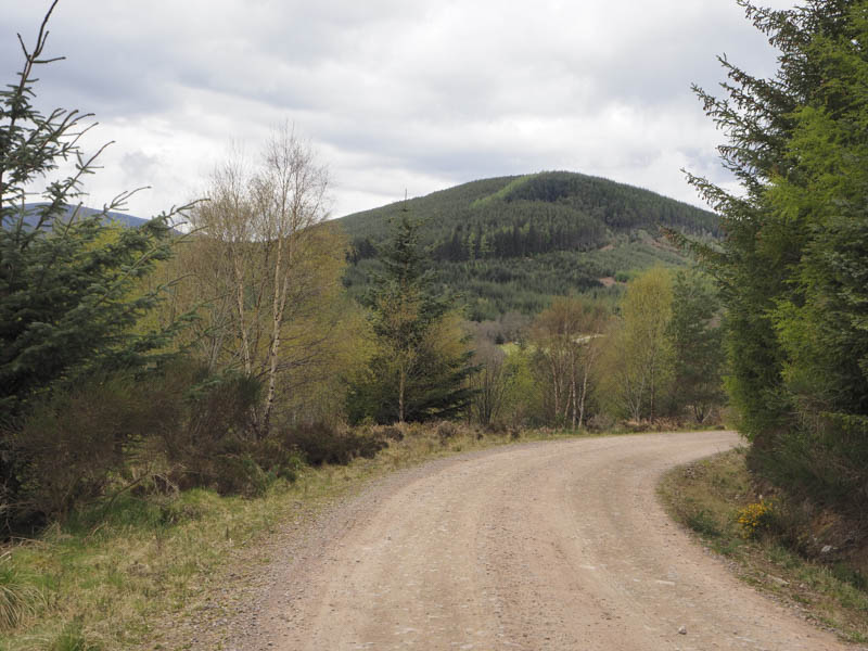
The gradient began to rise and at a junction of tracks I went left searching for an old stone dyke which was the point I planned to leave the track. I came across this dyke at NH583749 and followed it through the trees including some fallen ones onto the summit of the Tump, Cnoc na Sroine. I was unable to say where the actual highest point was. I then returned by the ascent route.
- Total time taken – 4.75 hours.
- Total distance – 12.25 kilometres.
- Total height climbed – 775 metres.