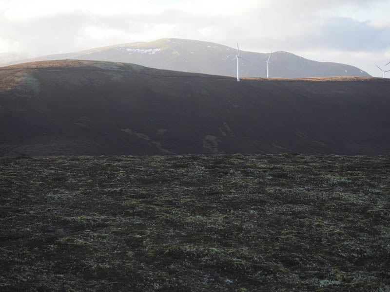
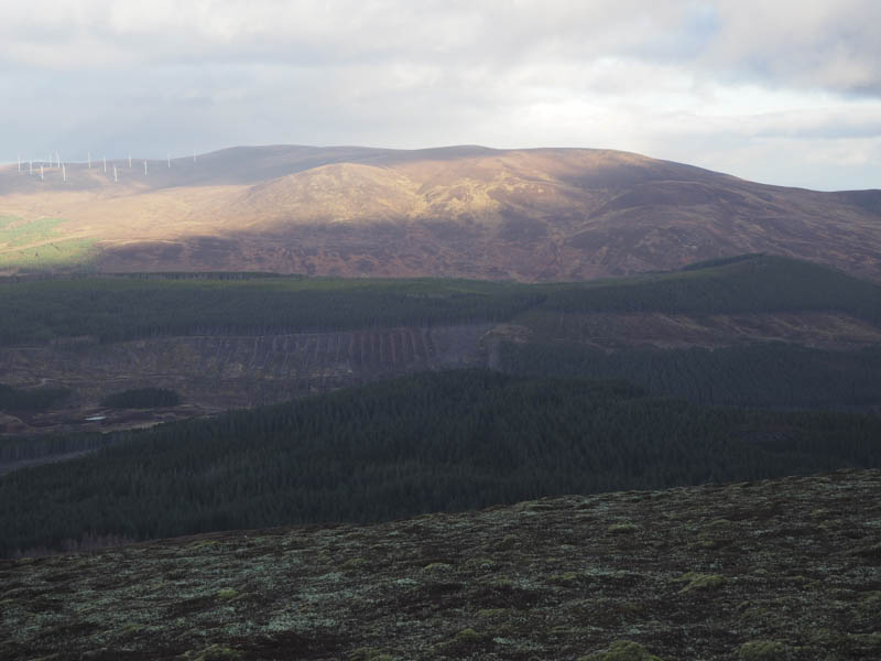
I left my vehicle on an area of rough ground east of Boath, in Strath Rusdale, north-west of Alness in Easter Ross, and walked back east along the road to the start of the vehicle track for Ballone Cottage and the Novar Wind Farm. This track led passed the cottage and to the power station where the track split. I took a right and climbed steadily towards the wind farm then high up the track that led onto Cnoc Gille Mo Bhrianaig passing a couple of wind turbines en-route. The highest point of this Tump wasn’t obvious.
I descended directly west to rejoin the main wind farm track and continued west to the cattle grid then south on the track that led to a pair of wind turbines. At the end of this track I crossed some rough vegetation to reach the summit of the Tump, Bendeallt, again the highest point wasn’t obvious.
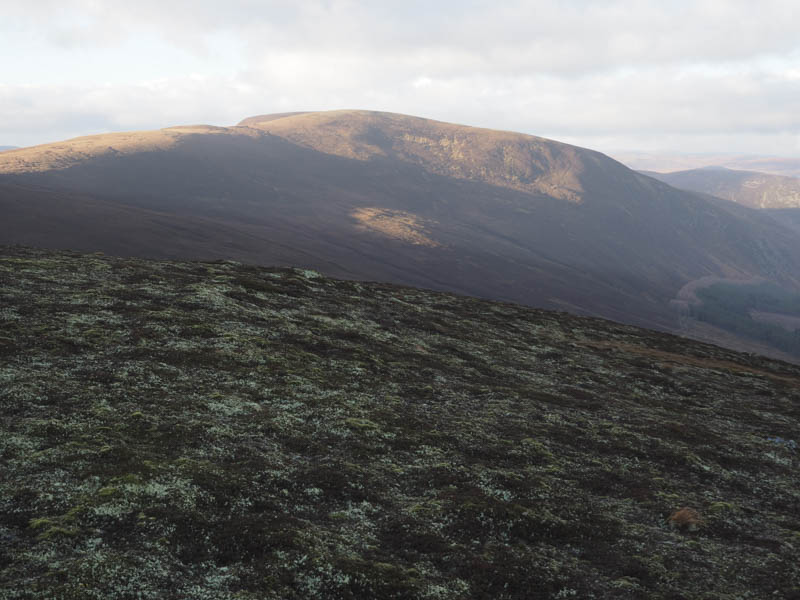
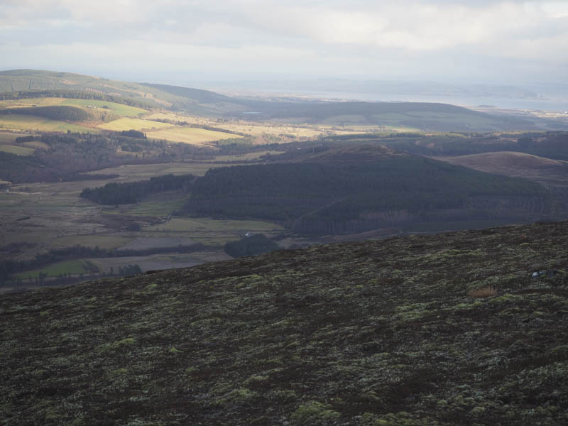
After a short break I returned to the cattle grid on the main track and followed it west then north to the east side of Meall an Tuirc. From there I crossed rough vegetation and ascended the Tump, Meall an Leathaid, where the summit was marked by a cairn.
I descended north-east steeply at times then lower down there were some long heather and boulders to contend with before reaching the col with Creag na Glaic. A deer fence was crossed and I entered the forest where the trees were well enough spaced as I ascended this Tump. A steep section led to the summit although the highest point wasn’t obvious. The descent east took me through the trees to join a vehicle track that led to Boath then it was a short road walk back to my car.
On the drive back down Strath Rusdale I parked beside a new communications tower (NH600733) where I crossed a barbed wire fence and climbed through rough vegetation to reach the summit of the Tump, Cnoc Alasdair, which was marked by a boulder. There was also a mini wind turbine nearby. The descent was by the upward route although I did find traces of an ATV track which made the return easier.
- Total time – 5.75 hours.
- Total distance – 15.5 kilometres.
- Total height climbed 765 metres.