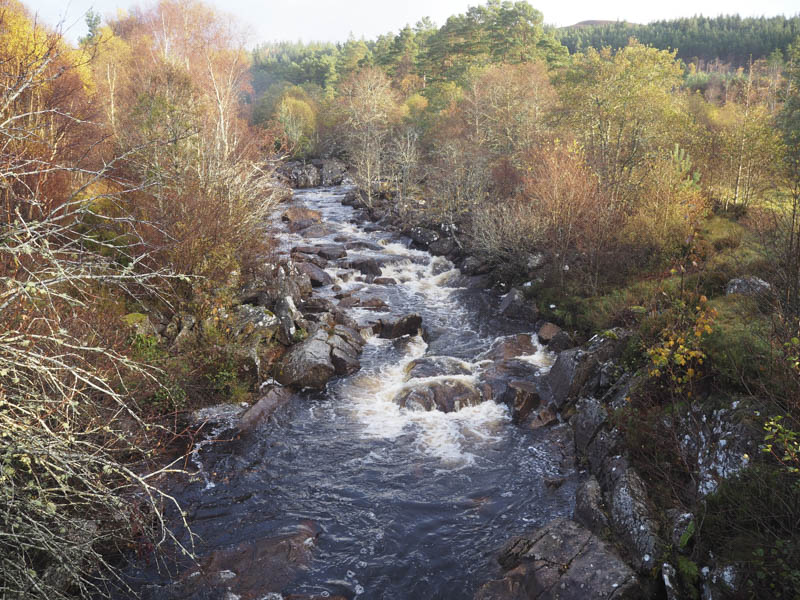
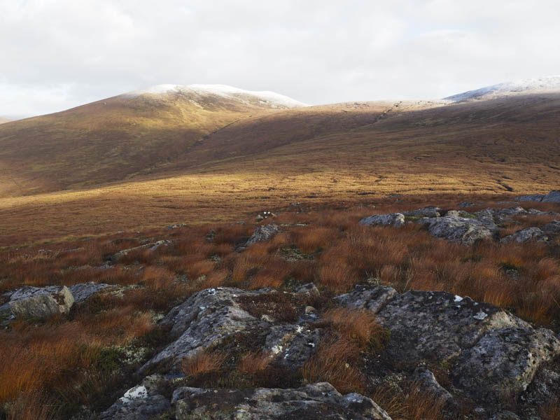
I parked on an area of rough ground on the north side of the A835 Garve to Braemore Junction Road immediately west of the bridge over the Abhainn Srath Rainich, then walked across the bridge and headed north up Strath Rannoch on a rough vehicle track. To the east was an area of mainly mature fir trees and on the west side a few deciduous plantings beside the Abhainn Srath Rainich.
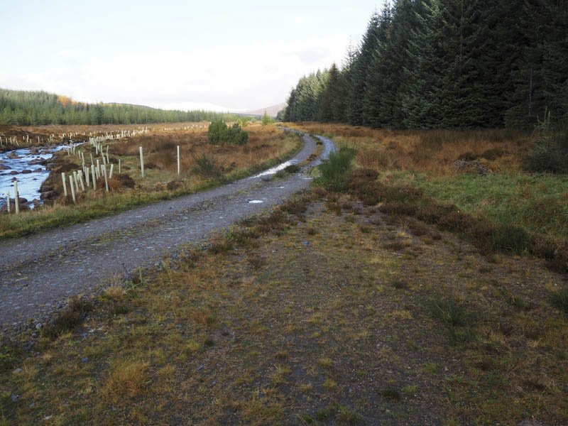
After around three kilometres I came to the end of the mapped forest and to gates in a deer fence, one for vehicles which was locked and the other for use by those on foot. It was here I planned to leave the vehicle track and climb the Sub Dodd, Meall nan Sac before heading for the Graham, Carn Loch nan Amhaichean. However this area of open hillside had been planted with trees and enclosed by a deer fence.
I therefore continued north along the vehicle track but with no sign of the enclosure coming to an end I crossed the deer fence and walked through the rough vegetation avoiding the saplings.
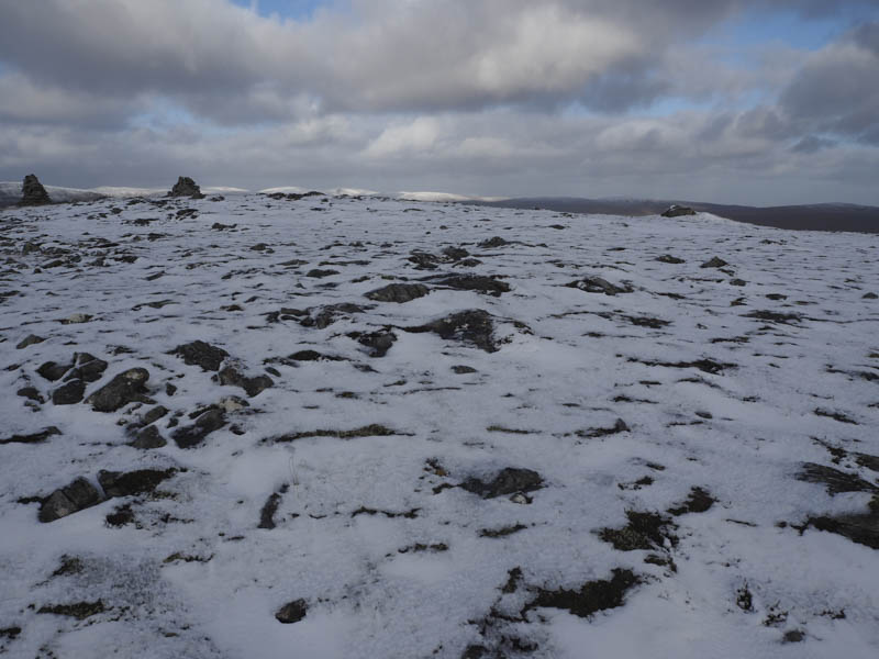
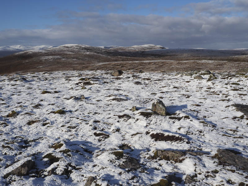
On reaching the top end of this new plantation I climbed over the deer fence then it was onto the summit of Meall nan Sac which was marked by a large rock.
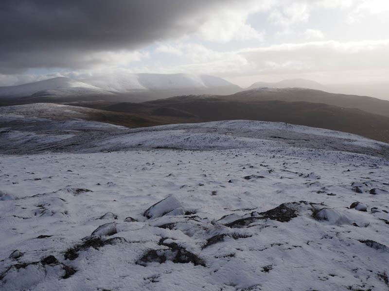
From there I descended east then climbed north-east below Carn nan Con Ruadha onto the snow cover below the col between this hill and Carn Loch nan Amhaichean. From there I ascended the Graham, Carn Loch nan Amhaichean, with its two cairns, the smaller one marking the highest point.
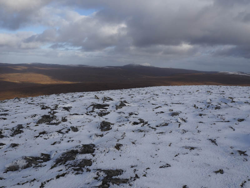
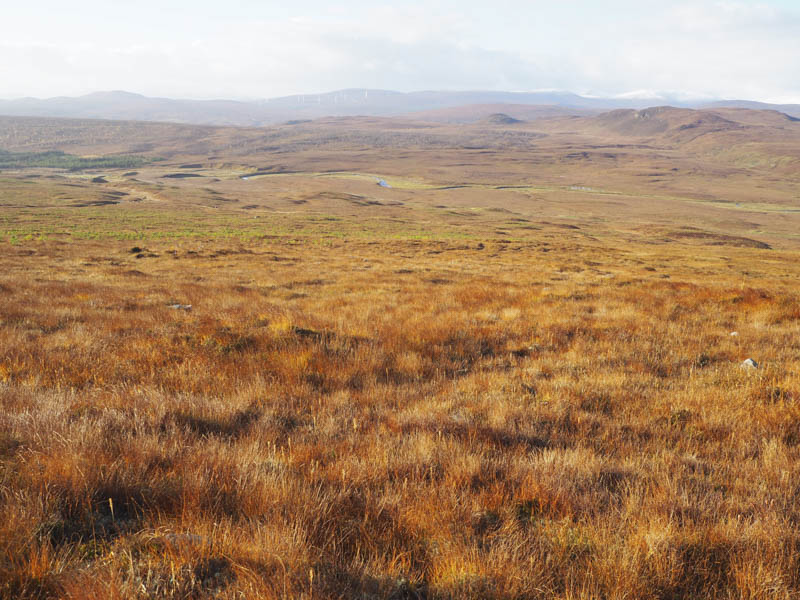
There was a cold wind blowing so I descended to the east of the col with Carn nan Con Ruadha then crossed an area of fairly flat ground consisting of numerous peat hags and bog pools. Once the gradient increased the walking became easier and I ascended the Graham Top, Carn nan Con Ruadha, where a cairn marked the highest point.
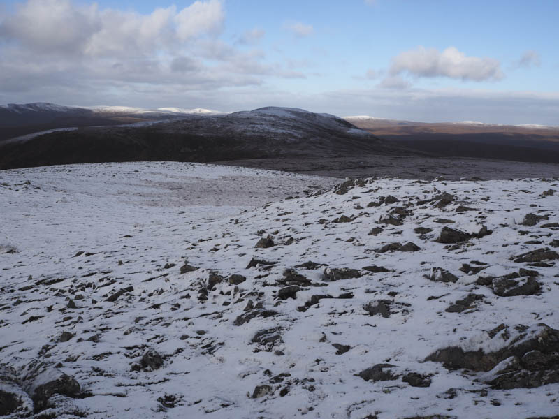
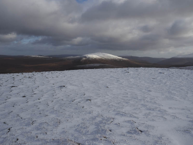
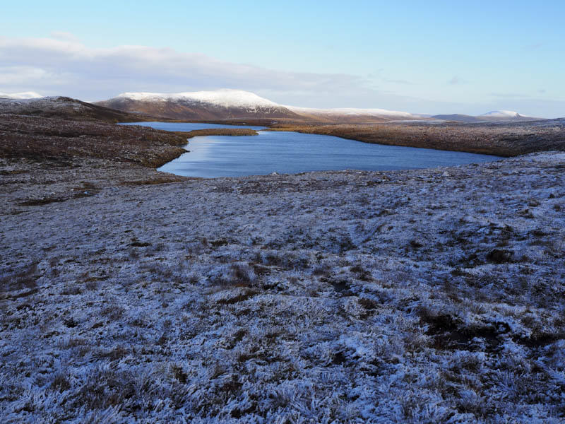
The walk continued with a descent to the west of Lochan Gobhlach before climbing the Graham Top, Gob a’ Chairn, where a boulder marked its summit.
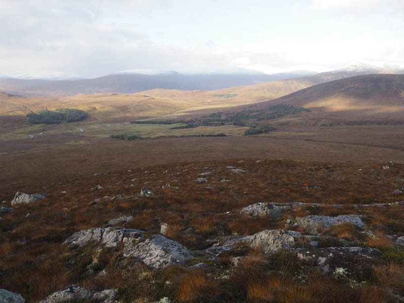
From there I descended to the west of Loch Coire Bheachain then ascended through heather to the summit of the Hump and Graham Top, Carn Mor, marked by a cairn. Visibility had improved with good views of Ben Wyvis and the Fannaichs.


I descended south-west towards Meal a’ Bhaird then south making for a gap in the mature fir trees that I had spotted that morning. I came across another new deer fence which I crossed then continued towards the break in the trees. Young saplings had been planted in this area but I came across an old vehicle track covered in brash and used it to access the vehicle track in Strath Rannoch. It was then a 1.5 kilometre walk down the Strath to my car.
- Time taken – 6.5 hours.
- Distance – 18.25 kilometres.
- Height climbed – 805 metres.