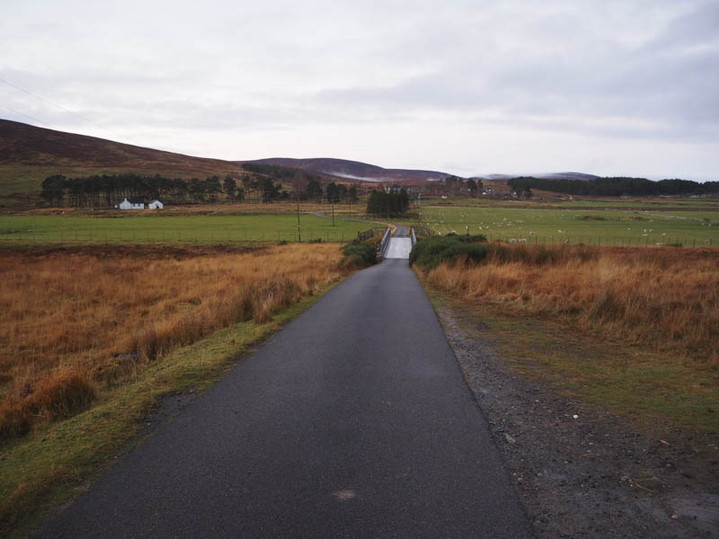
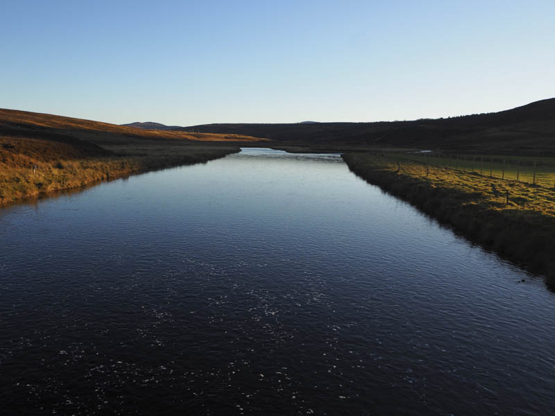
I was parked at the entrance to Borrobol, Strath of Kildonan, on the A897 Helmsdale to Thurso Road just after daylight had made an appearance. I then set off on foot across the bridge over the River Helmsdale and the railway level crossing.
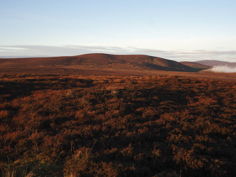
After passing a few houses at Borrobol I located a grassy track that led to the foot of Borrobol Hill. The track was then wet and boggy and led to the radio masts and just beyond them the large cairn marking the summit of Borrobol Hill.
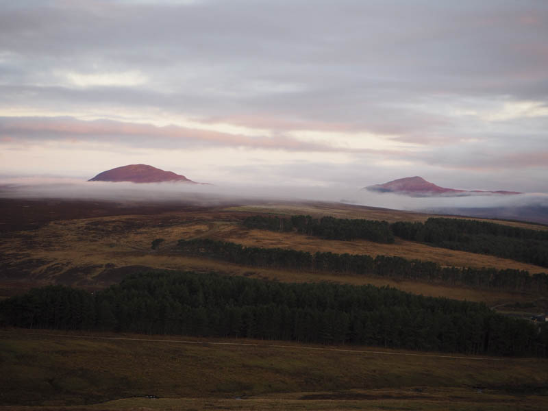
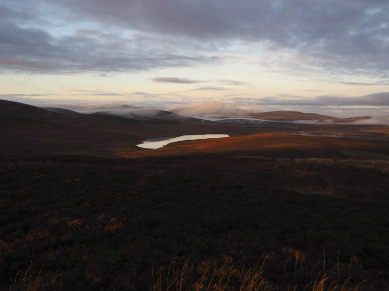
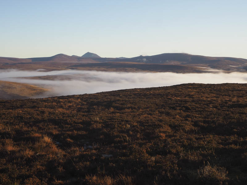
Unfortunately I reached the summit of this Hump a few minutes after sunrise although it hadn’t been my plan to arrive there for that purpose. There were good views of Morven above the low cloud.
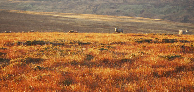
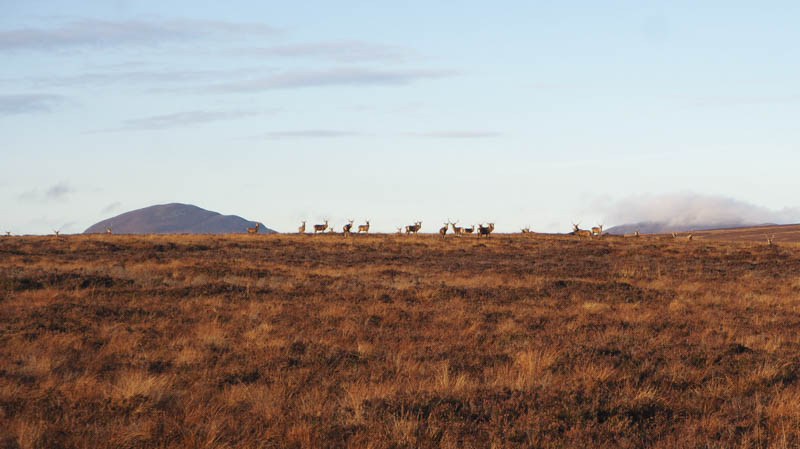
From Borrobol Hill I continued south disturbing a herd of deer.
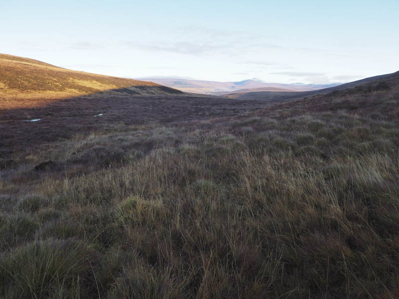
The underfoot conditions were wet and tussocky but the route ahead was difficult to see due to the low sun. On reaching Borrobol Hill South Top I descended south-west through heather to the rather wet col with Cnoc Ascaig.
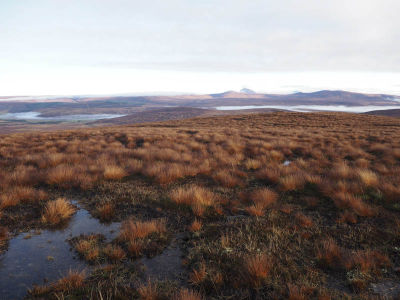
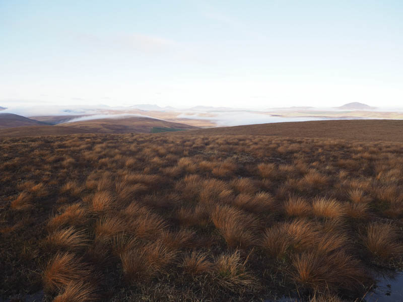
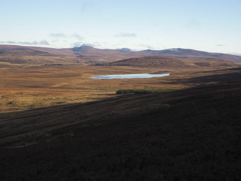
The ascent of this uncategorised hill was through rough vegetation but was far easier underfoot than what lay ahead. On reaching the summit of Cnoc Ascaig I took an extended break sitting in the sun in windless conditions with good views.
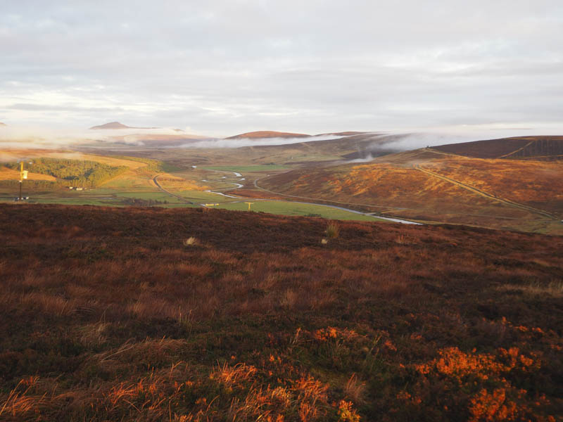
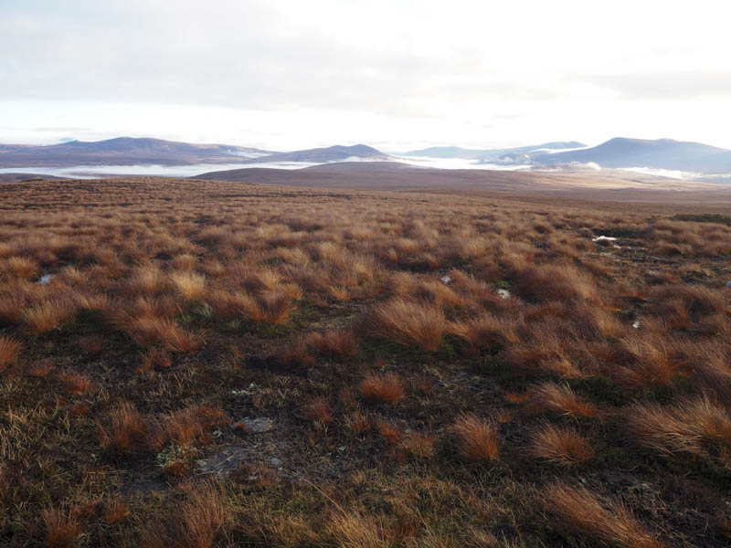
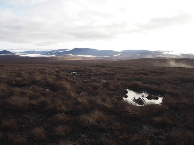
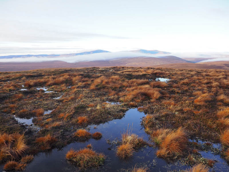
On leaving this spot I walked west for well over a kilometre through wet ground pitted with pools of water. If it wasn’t for the fine weather this section of the walk would have been a nightmare. Once across this relatively flat area I commenced the ascent of Creag nam Fiadh. Although rough going still with some pools of water it was far easier than what I had just encountered. Eventually I reached the trig point marking the summit of this Marilyn.
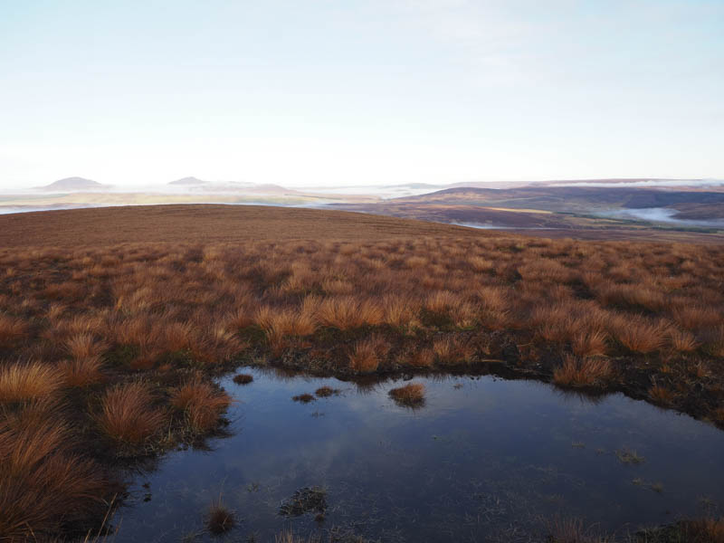
After taking in the views I descended through more rough and wet ground to Plover’s Gap which was rather boggy.
The ascent of Ceannabhaid was across drier ground including some heather. The summit of this Tump was unmarked so I visited a few possible highpoints.
The descent north-east was through heather then lower down more boggy ground to reach the vehicle track around 1.5 kilometres east of Altanduin.
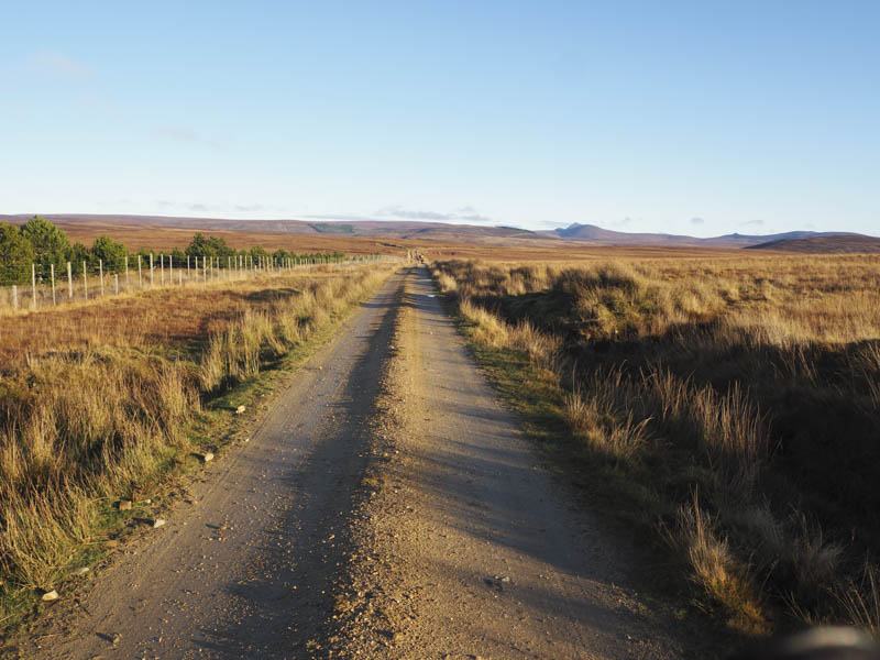
This track was then followed back to Borrobol although at one point it was blocked by some cattle.
- Time taken 5.75 hours.
- Distance – 17.25 kilometres.
- Height climbed – 540 metres.