The forecast indicated that he best of the weather would be in the far North-East of Scotland with rain forecasted to arrive in Helmsdale around mid-day with snow on the hills. The drive north on the A9 was in the dark with patches of mist. On arriving in Helmsdale I drove along the A897 to west of the houses at Torrish and parked on an area of hard packed snow just east of the bridge over the Torrish Burn.
It was daylight, albeit a bit dull and misty, when I set off north along the vehicle track on the west side of the Torrish Burn.
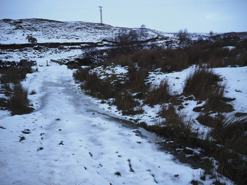
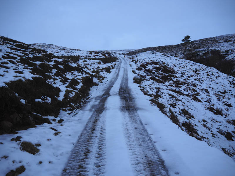
The track was icy having been used by a tractor but these marks came to an end at mineral licks for the deer positioned on the ground and on poles. The deer moved away on my approach.
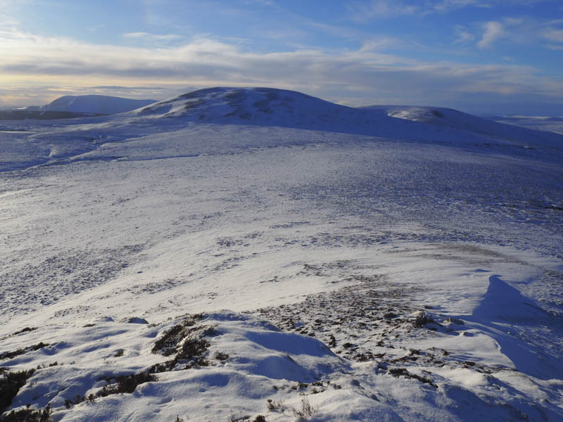
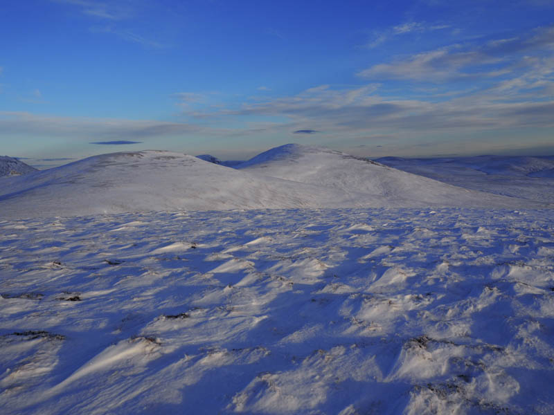
The rising sun was now shinning on the tops of a few of the snow plastered hills as I continued north through the snow covered rough vegetation as I had lost the line of the vehicle track although found it again before the split but then it came to an end.
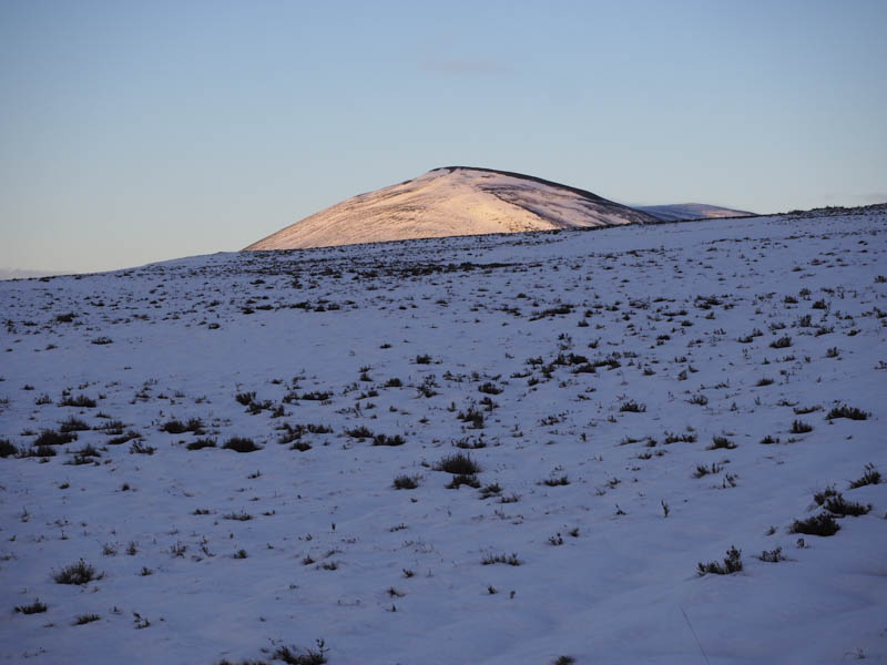
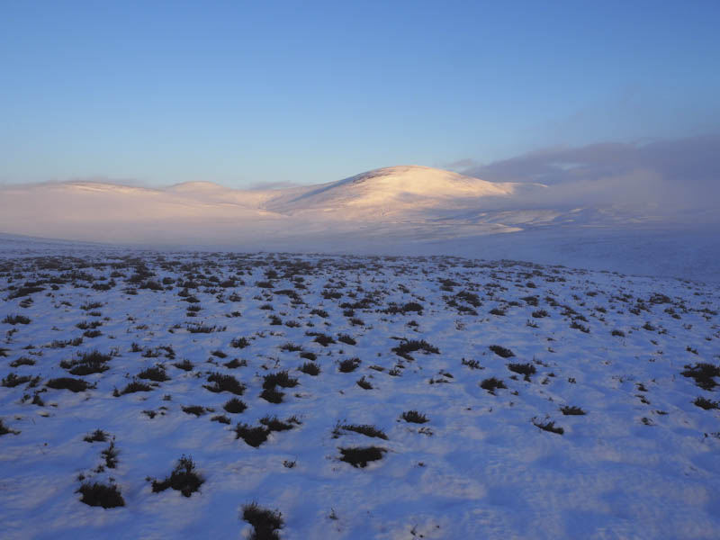
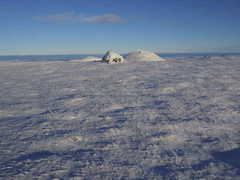
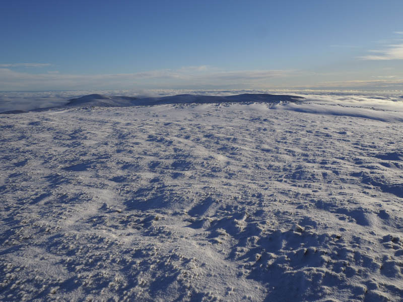
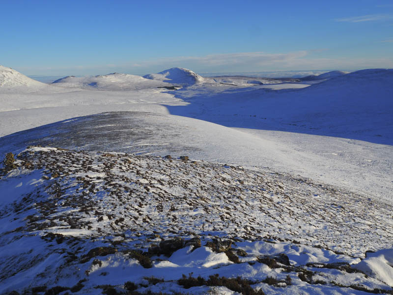
It was then a plod through the snow as I continued north with views of Creag Scalabsdale which was sometimes in the sun and occasionally shrouded by mist. This route involved a few short descents to cross streams but eventually I gained Creag Scalabsdale’s South-West Ridge then made my way towards its summit. The snow higher up had an icy crust but wouldn’t hold my weight. The large summit cairn was reached with awesome views of the surrounding hills and the mist filled glens, well worth the effort to reach this Marilyn.
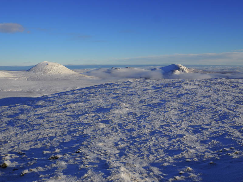
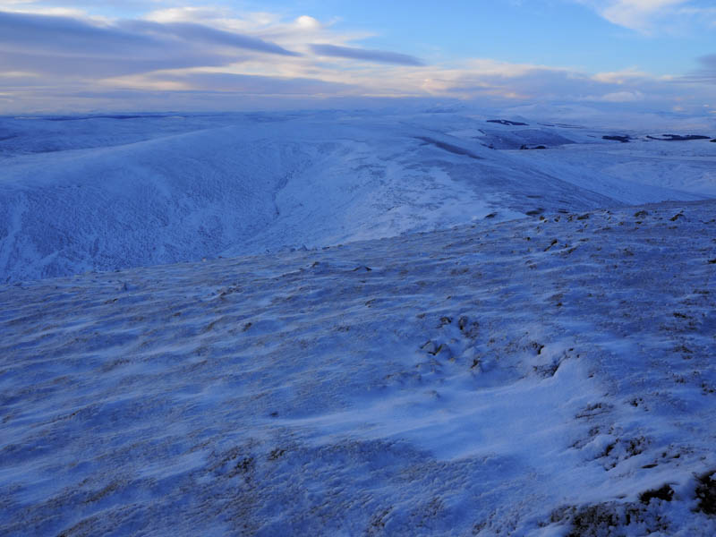
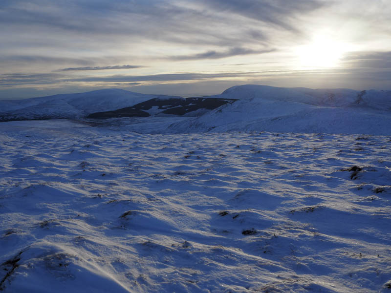
Lower down there had been little or no wind but on the summit there was a cold breeze so I took shelter behind the cairn looking across to Morven and Scaraben and out to the Moray Firth although it was in the mist. I did wonder if I could see Orkney but it was difficult with the snow and mist to distinguish what was in the far distance.
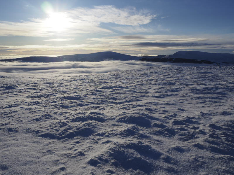
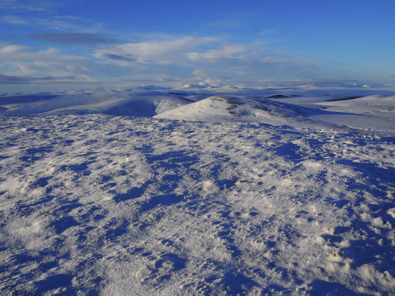
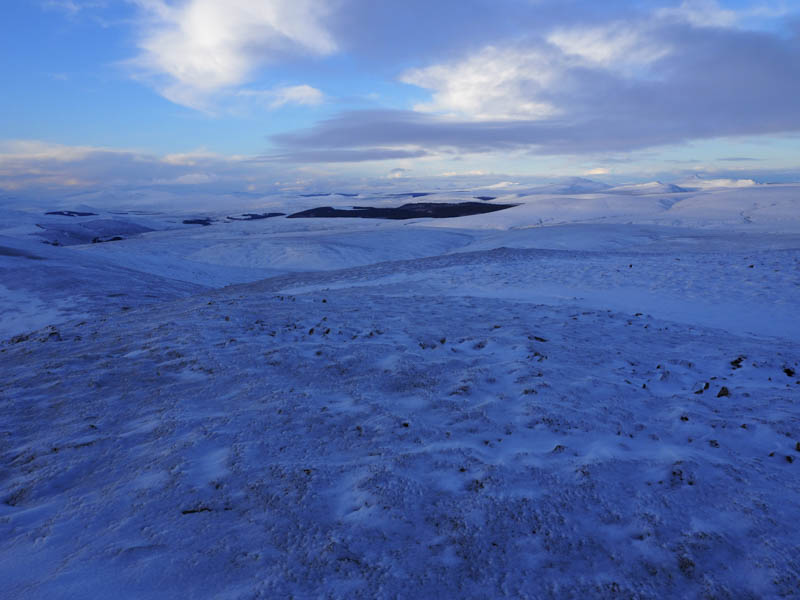
After a break here I descended through some knee deep snow to the east of Loch Scalabsdale where peat bog and hags were concealed by the snow which made for slow progress. I then climbed to the rocky summit of Suidh’ an Fhir-bhig, a Tump, also known as The Child’s Seat.
The descent south-west initially followed the upward route before making my way onto the Tump, Creag nan Gearr, although I found the ascent quite tiring.
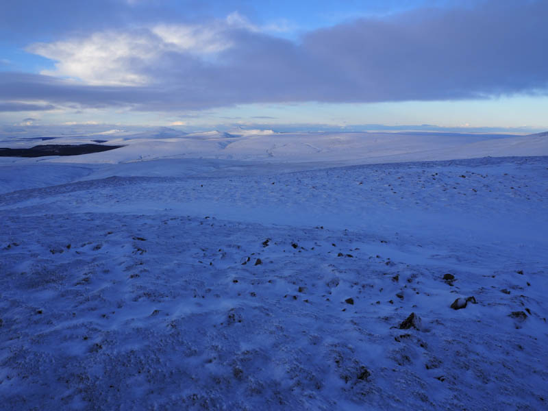
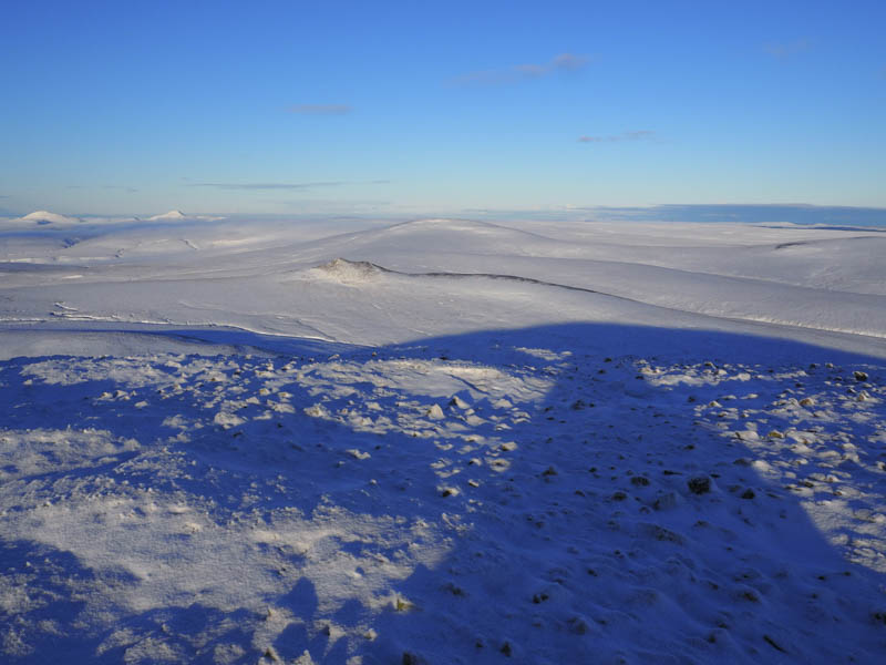
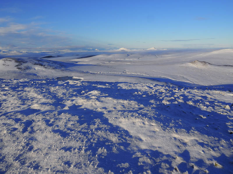
It was now after 1pm and there still no evidence of the rain/snow so I didn’t linger here and headed off west through some small snowdrifts to the col with Cnoc Salislade. I then ascended this Tump through more snowdrifts reaching the tussocky summit area with nothing to indicate its highest point, well nothing I could see.
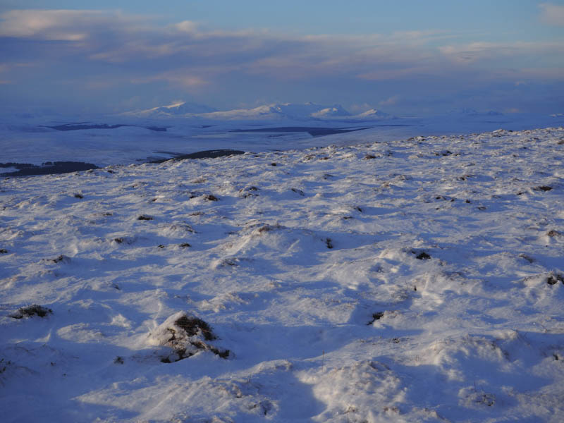
The mountains to the west now had a touch of cloud on their tops so it was time to return to my car although I had at least 5.5 kilometres to travel mainly across pathless terrain. I opted to descend south towards the Allt Breac trying to stay above the gullies. There were numerous deer around so I made use of their tracks but it was still hard work. I then headed to and climbed the 202 metre knoll where I located a snow covered vehicle track. This took me back to the start, lower down joining the route I used earlier that day. Darkness was falling and the moon was out as I arrived back at my car.
The drive back down the A9 was again in the dark with a rain shower around Golspie so I managed to miss the inclement weather.
- Time taken – 7 hours.
- Distance – 16.75 kilometres.
- Height climbed – 835 metres.