I parked in the cemetery car park at Kinlochlaich, located on the north side of the A828 Glencoe to Connel Road at the Strath of Appin, then walked across a cattle grid and headed east towards the farm en-route meeting the farmer’s wife in her car. She advised us that there was no standard route up Beinn Donn but directed us back towards the cattle grid, then up the road at the side of the cemetery towards a newer house where there was a small gate that we could use to access the hill.
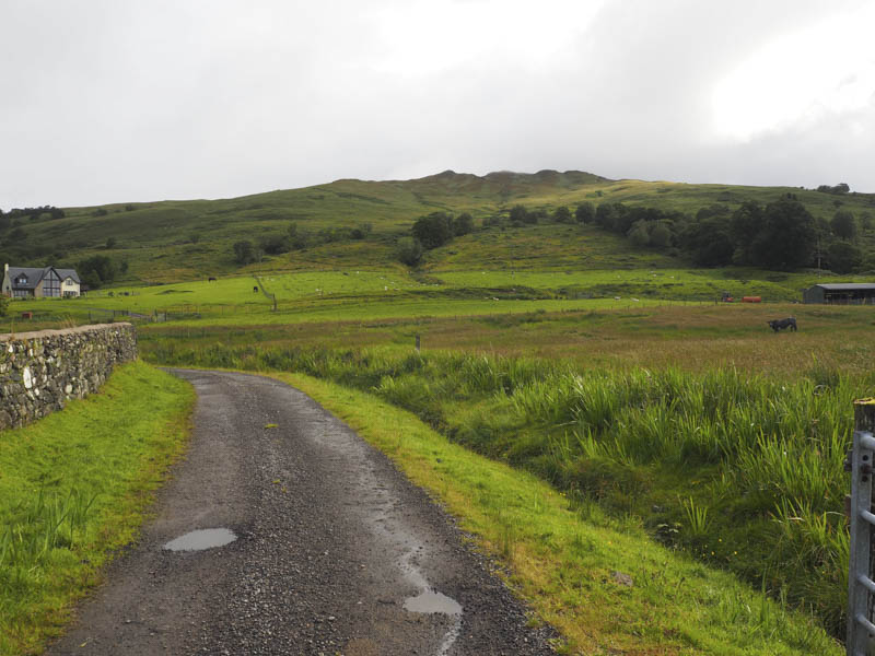
Her directions were followed and on approaching this newer house we climbed over some wooden fencing to reach the small gate which took us into a field containing sheep and lambs. Keeping to the edge of the field we headed for an open stock gate where beyond there was a vehicle track across rougher vegetation that led to a closed stock gate.
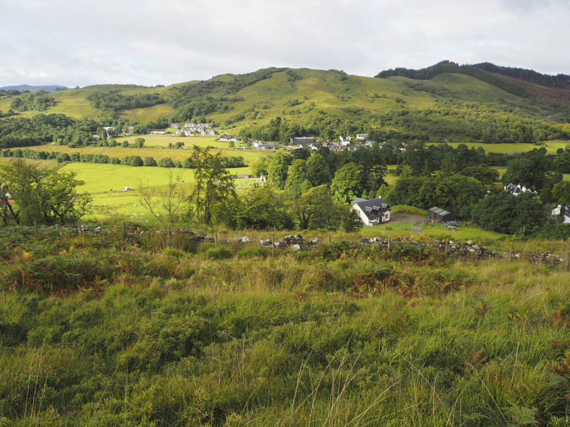
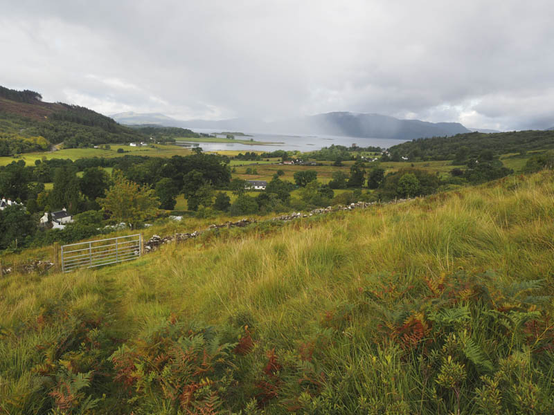
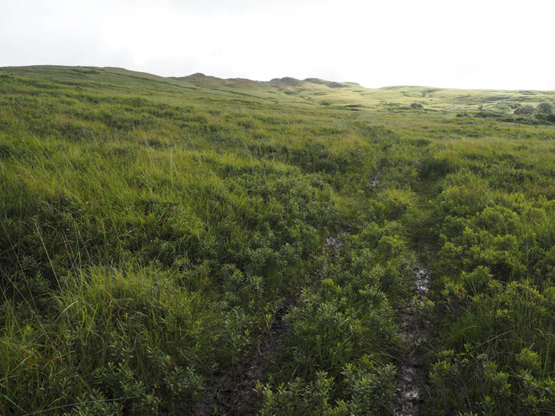
A wet quad vehicle trail headed uphill through some longish and wet vegetation. There were some wooden posts marking the route but I doubt they were placed there for the benefit of walkers. Higher up the trail disappeared so we continued through the rough vegetation crossing a few knolls or working round them as well as crossing a stock fence to reach the cairn marking the summit of the Tump, Meall Loch Steallaig.
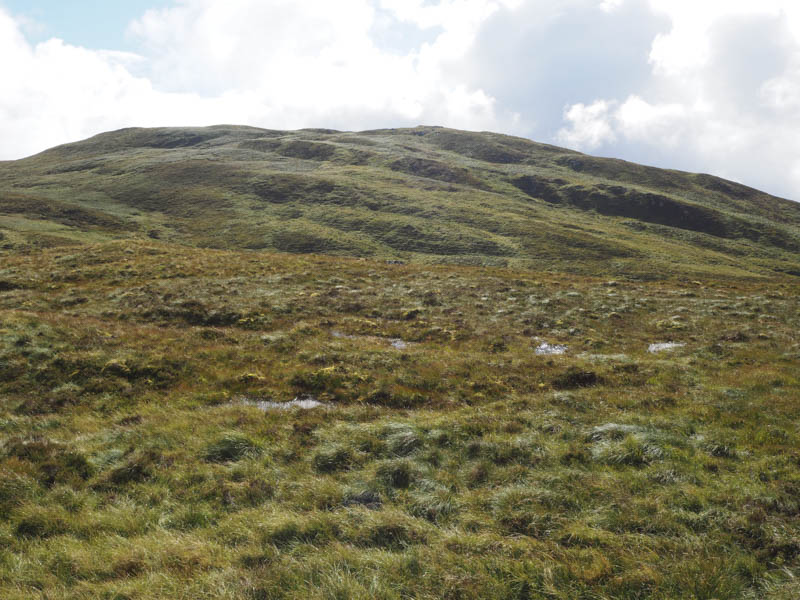
From this Tump we descended east through more wet and rough vegetation before climbing to the summit of the Marilyn, Beinn Donn, marked by a rib of rock.
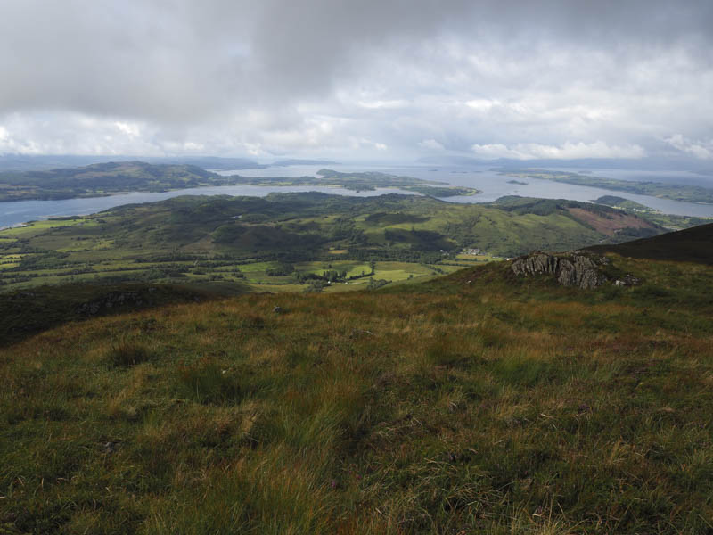
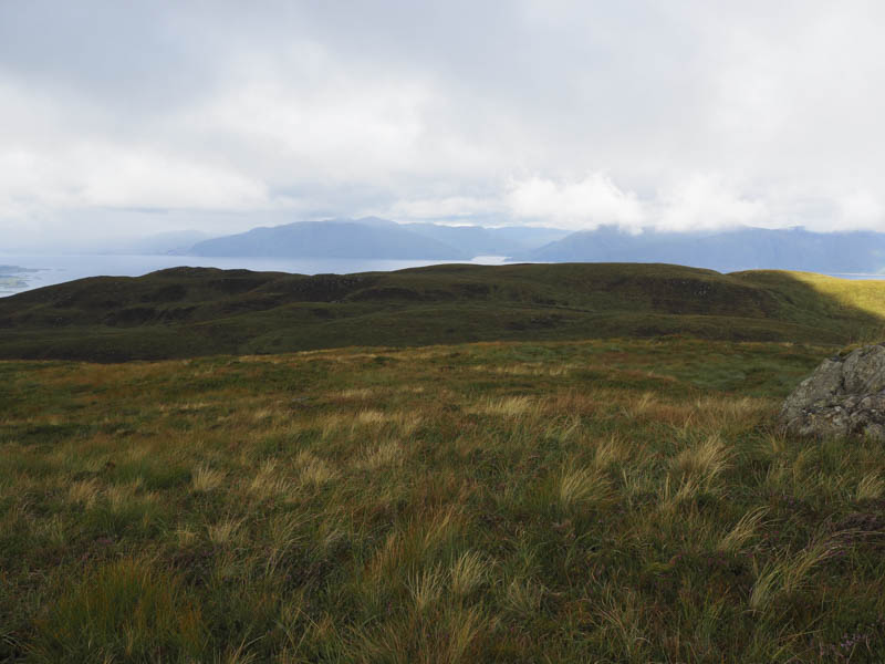
After a short break here we returned to the start roughly by the same route avoiding the re-ascent of Meall Loch Steallaig.
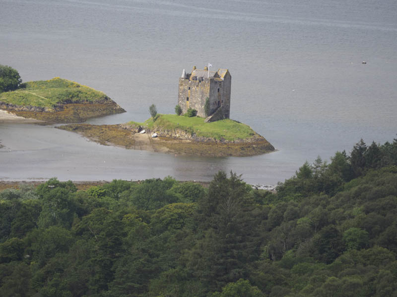
- Time taken – 3.5 hours.
- Distance – 6.25 kilometres.
- Height climbed – 535 metres.