I parked on the south verge of the B851 Inverness to Fort Augustus Road in Strath Nairn on the west side of the bridge over the River Nairn and walked across the bridge, through a gate then south up the east side of the river on an estate track. I soon left it and made an easy ascent across grass and some rushes then higher up heather to reach the boulder marking the summit of the Tump, Cairn Poullachie.
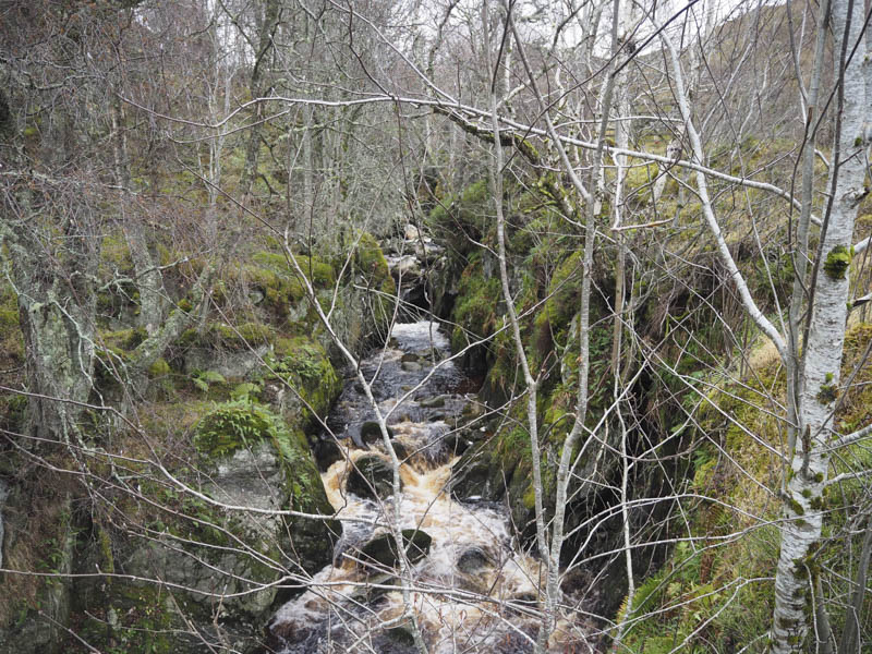
From there I descended south to rejoin the estate track before later leaving it again and descending to the bridge over the Allt Mor.
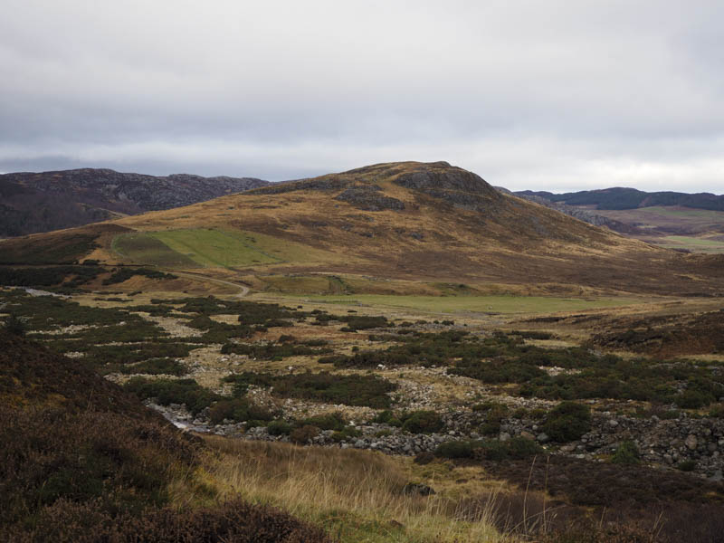
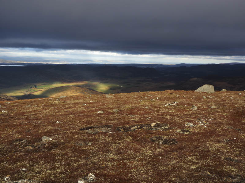
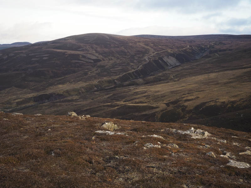
This track continued south up the hillside where it later split. A newish track led almost to the col between Beinn Bhuidhe and Coille Mhor. I commenced the ascent of the latter across rough vegetation and onto the summit area of this Graham Top which consisted of peat hags visiting a few potential high points.
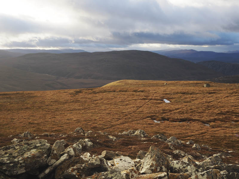
I descended to the boggy col with Beinn Bhuidhe and ascended this Graham Top, across short vegetation and heather following old fence posts to reach the summit trig point.
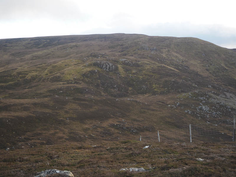
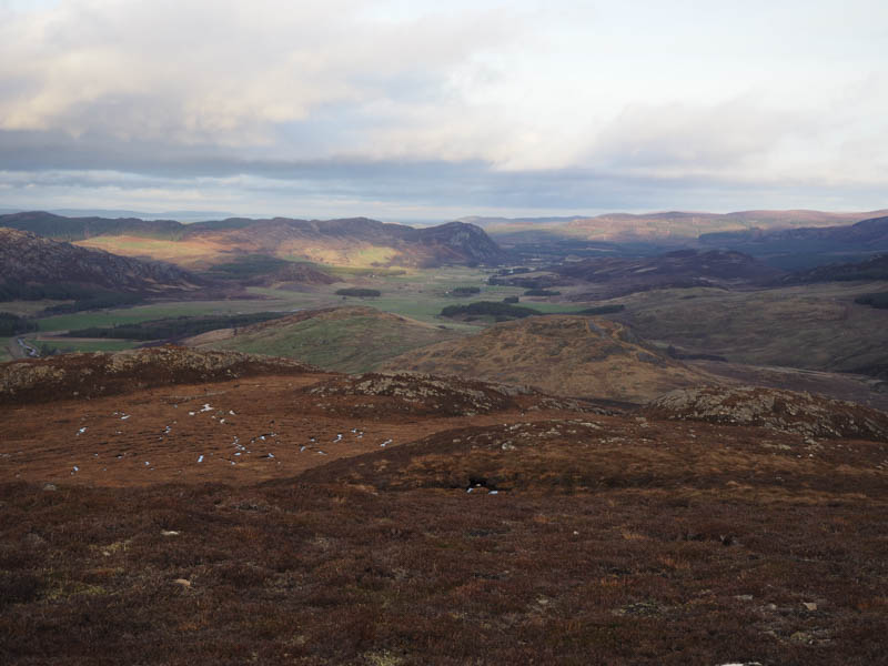
The descent south was initially reasonably easy but the ground later steepened and the vegetation was rough with long heather. Eventually I reached the col with Garbhal Mor and this was followed by a steep ascent of this Tump through more long heather to reach the summit cairn beside a small knoll.
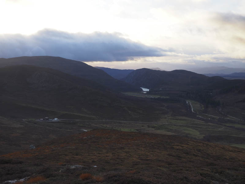
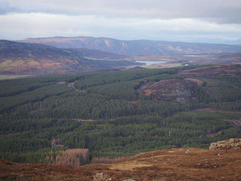
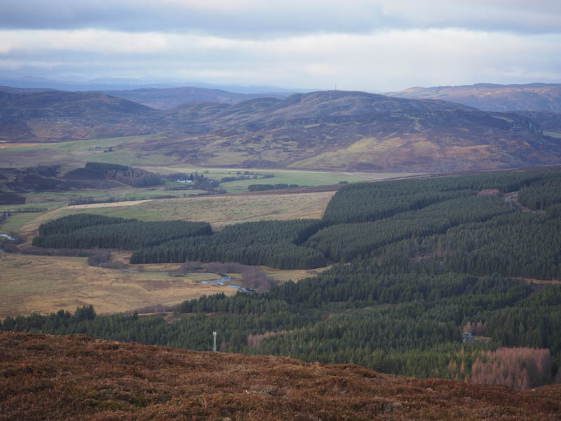
I descended north, again it was a bit steep with long heather, to reach a deer fence where the upper section had been removed. The ground on the other side was wet and boggy but once across it a track through the forest and passed the Mains of Aberarder Farm took me to the B851then a short walk to my car.
- Time taken – 4.5 hours.
- Distance – 13.75 kilometres.
- Height climbed – 720 metres.