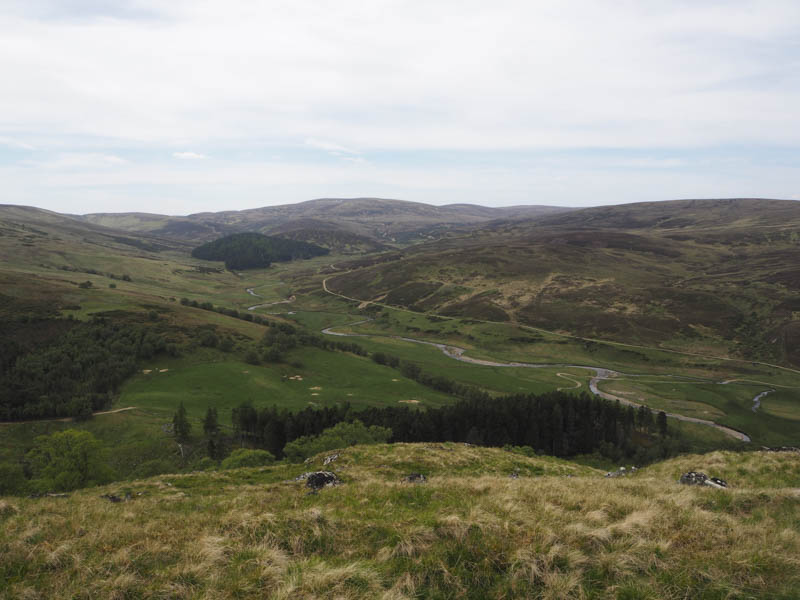
Sith Mor – I parked beside the bridge over the River Findhorn, west of Coignascallan in Strath Dearn, accessed along the single track road from the village of Tomich, south of Inverness.
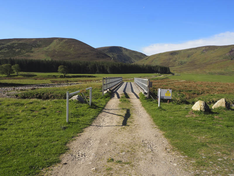
I then walked across this bridge and along the west side of the Allt Fionndairnich to beyond the bridge opposite the ruins at Coignafeuinternich where I followed an ATV track.
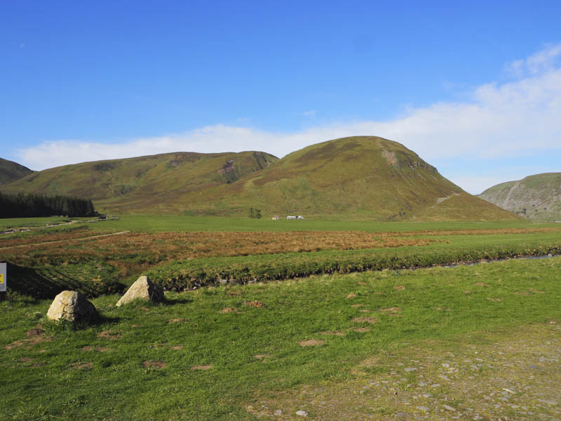
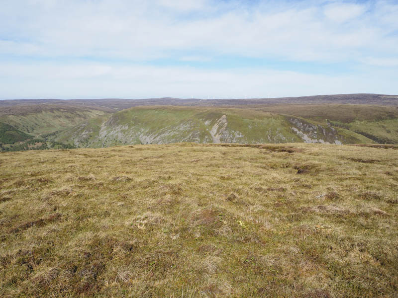
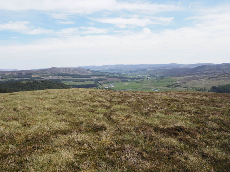
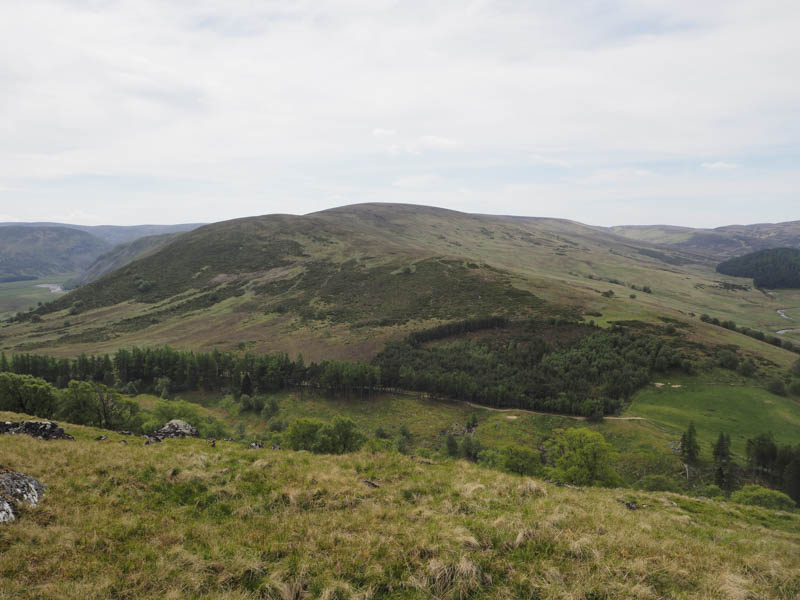
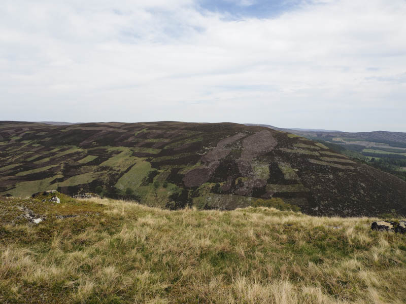
I soon left this track and climbed fairly steeply across short vegetation of heather and grasses. Near the summit area the gradient eased and I disturbed a large herd of deer. The vegetation was now quite rough and included peat hags with the summit of this Graham Top being some tussocks.
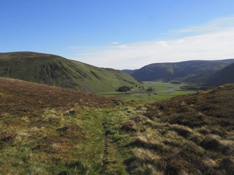
I managed to find a bit of shelter from the strong wind for a coffee being returning to the start by the ascent route.
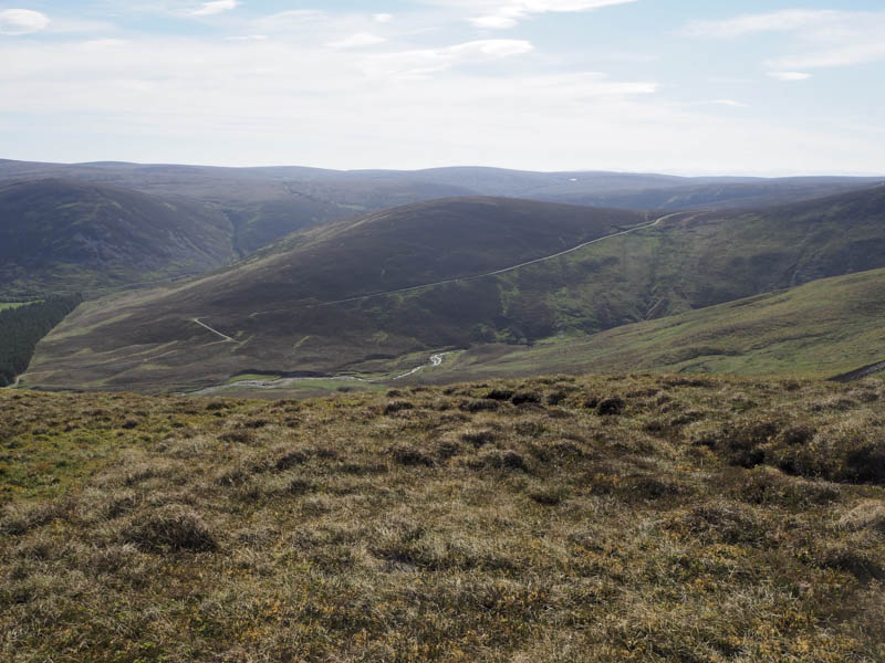
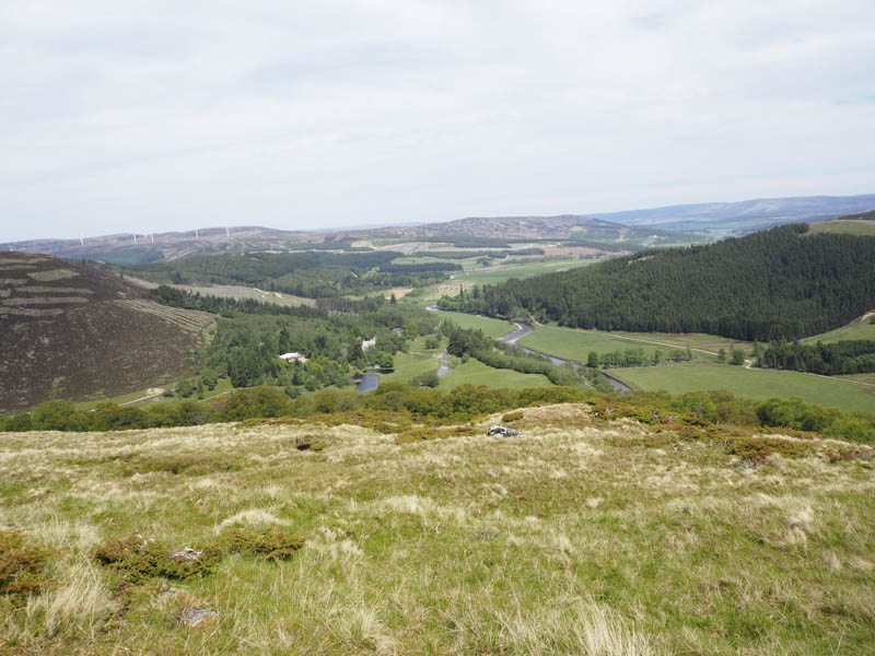
Torr na Garbole, Creag Gharbh, and Cnoc Thulagain – After climbing Sith Mor I drove back down Strath Dearn to the bridge over the Glenmazeran Burn where I left my car then walked north-east along the road to the vehicle track opposite the entrance to Dalmigavie Lodge.
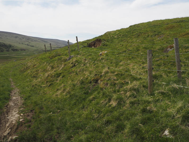
This track was followed north then north-west for around 750 metres to another vehicle track which crossed the Caochan Cosach then double back south-east. On reaching an open gate in a deer fence I entered this enclosed area only to discover it was a small fenced off area probably used for rearing game birds as I was soon confronted by a deer and electric fence. Fortunately there was a small gate nearby which allowed my escape. I then climbed through the trees onto open ground and the moss covered outcrop that marked the summit of the Tump, Torr na Garbole, disturbing some roe deer.
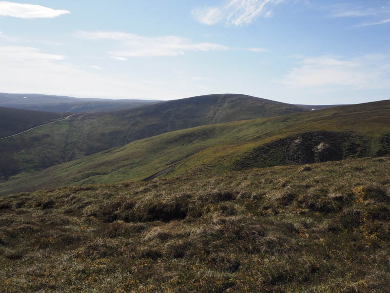
I returned to beyond Caochan Cosach, by passing the enclosure, and walked north-east, later passing through a gate in a deer fence. This took me across a heathery gap between young fir trees and led to another deer fence which I followed south-east to a recently constructed one. Once over it and a gate in this new deer fence I accessed the open hillside and walked through rough heather to a boulder at NH740235. On visiting a point further south the boulder appeared to be the highest point of the Tump, Creag Gharbh.
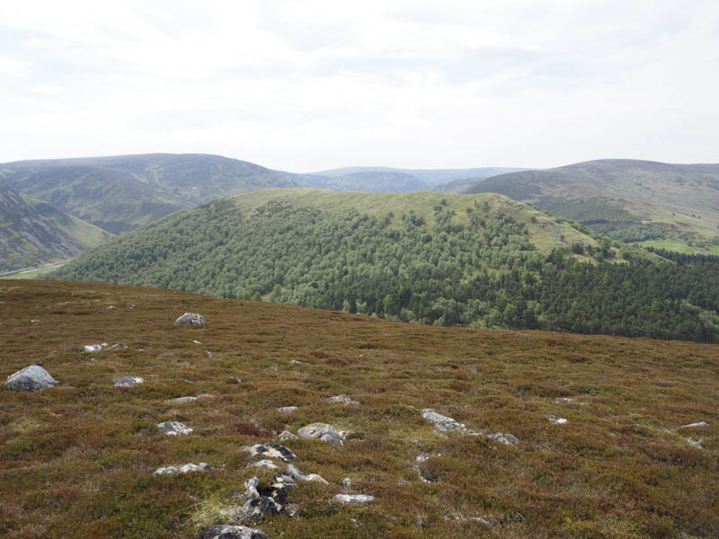
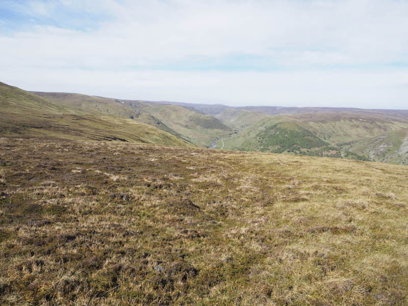
I then walked north-west across a mixture of heather and tussocks to the summit of the Sub Dodd, Creag Gharbh West Top, although it was difficult to establish its highest point.
From there I descended south through heather some of which had been burnt. Prior to reaching the vehicle track in Glen Mazeran I came across a double electric fence, one with three strands of wire and the other with two.
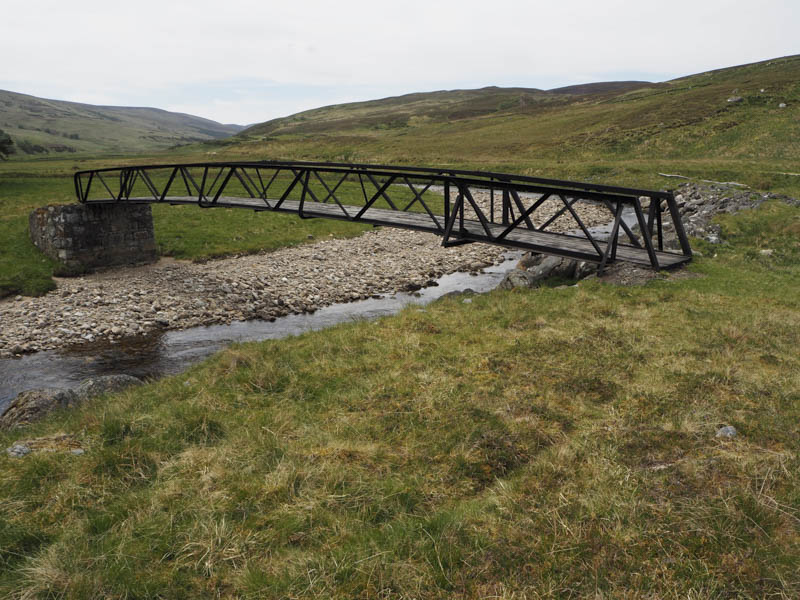
I found a point where I could slide underneath both fences, then crossed the vehicle track to a footbridge at NH736227. This bridge was in surprisingly good condition and took me across the Glenmazeran Burn.
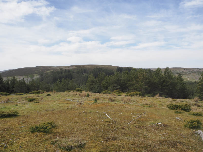
I climbed through some well spaced trees onto the north-west ridge of the Hump, Cnoc Thulagain, the gradient steepening before I reached the cairn at its north-west end. I walked south-east along the ridge but it was hard to decide where the highest point was.
At the south end of the ridge I sat for awhile before descending north-east initially through open ground then round juniper bushes and into well spaced trees.
An animal trail led to a gate in a stock fence and to near the cattle grid at the start of the access road leading to the house at Laggan. It was then a road walk of around 500 metres to my car.
- Total time taken – 5.25 hours.
- Total distance – 12.75 kilometres.
- Total height climbed – 710 metres.