Accessing the hills to the south-east of Coignascallan, in Strath Dearn, is a bit problematic as it involves a river crossing and potentially wet feet although there is a bridge at Dalmigavie Lodge but it is several kilometres away. I suspected that after a recent dry spell of weather it might be possible to cross the river without getting wet.
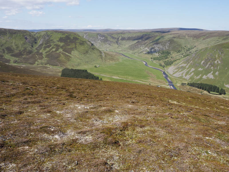
After a drive south west through Strath Dearn, accessed from Tomatin on the old A9 south of Inverness, I left my vehicle in a small parking area beside the bridge over the River Findhorn to the west of the property at Coignascallan. I walked round the barrier preventing unauthorised vehicle access, crossed the bridge, and headed along an estate track to the bridge over the Allt Fionndairnich.
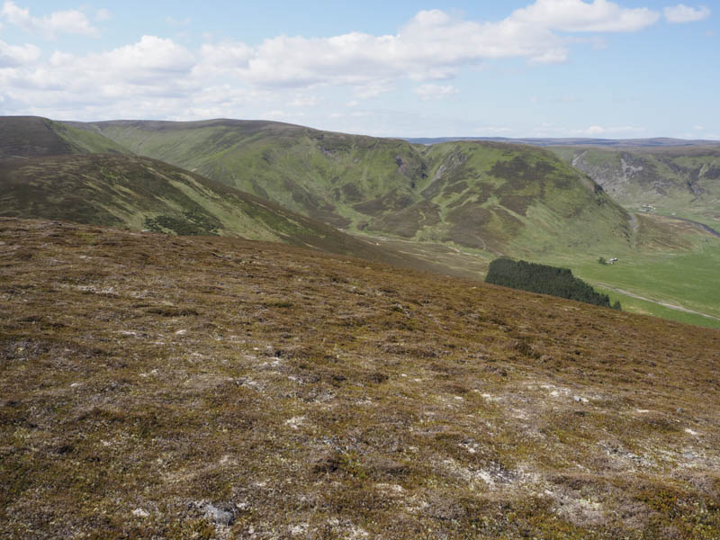
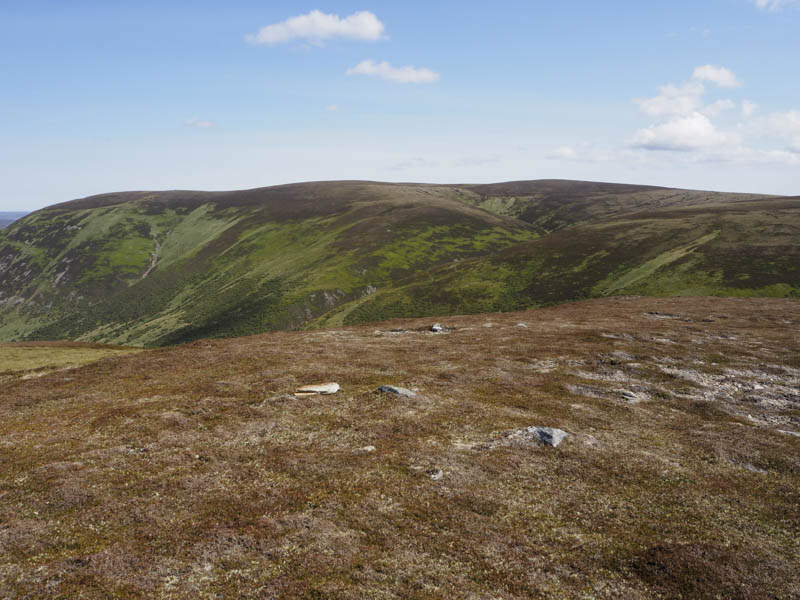
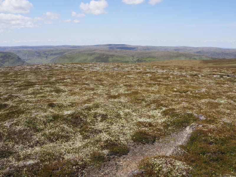
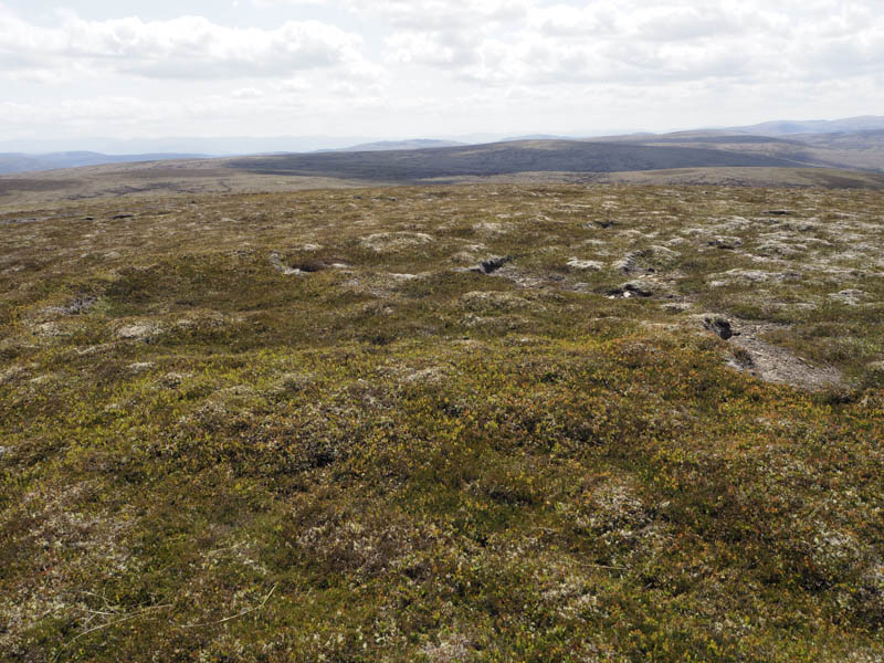
Once on the other side of this stream I walked round the north side of a wood to and over a stock fence. The Allt Mhuillin was very low and easily crossed to gain the vehicle track on its east side. It was briefly followed south-east before commencing the steep ascent of Creag Dhubh Tigh an Aitinn through heather and some boulders. There were several deer tracks crossing the hillside so I occasionally used them for a break from this ascent. Higher up the gradient eased and I climbed a grassy ride through the heather then it was across short windswept heather to reach the cairn, the easterly one, which marked the summit of this Graham Top.
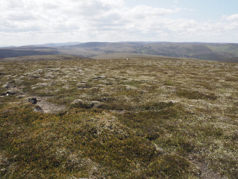
A descent south-east took me to some dry peat hags and once through them I walked east then north-east across rough ground although the walking was fairly easy. I joined a new looking estate track which was followed until it turned north.
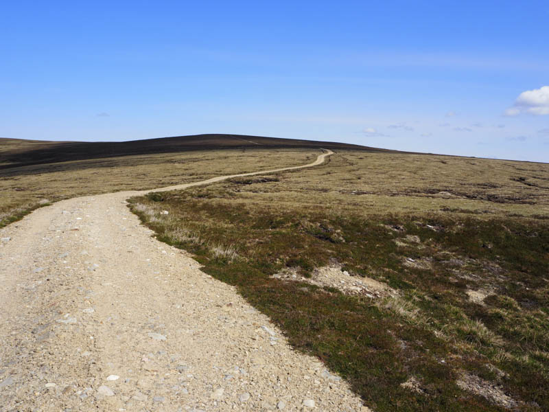
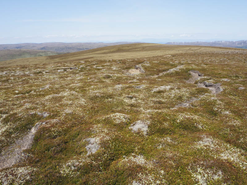
Here an old rough track led onto the summit of the Graham Top, Carn Coire na h-Eirghe, marked by a cairn.
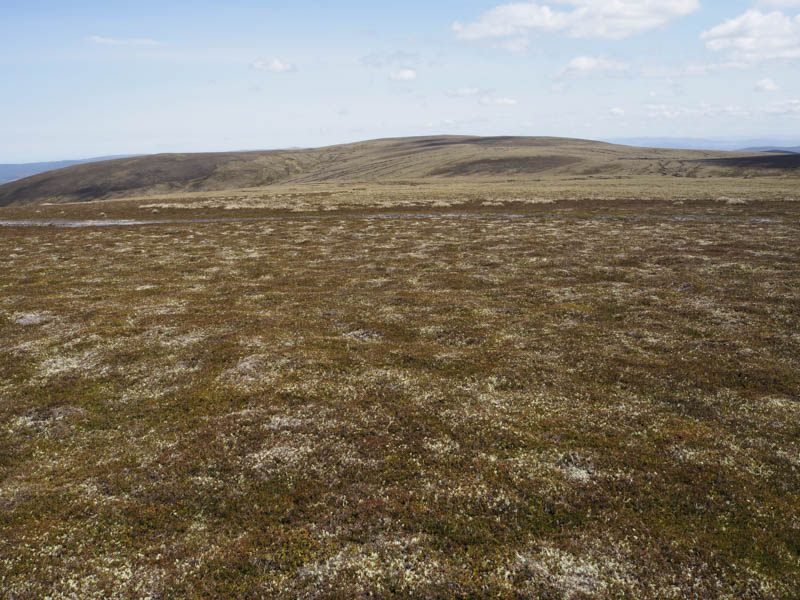
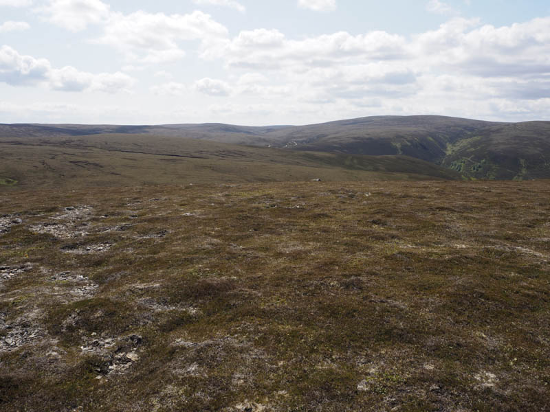
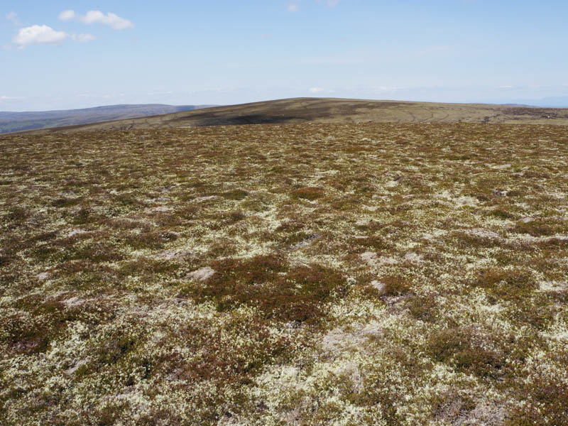
Another change of direction took me south-east through a few more peat hags and to the col with Carn nan Luibean Glas. I then climbed this Sub Simm, the highest point being some moss and heather.
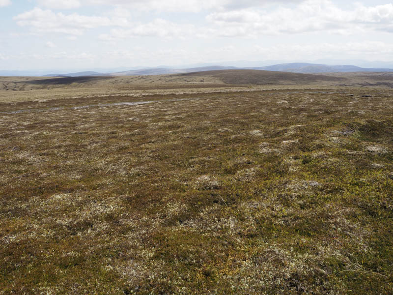
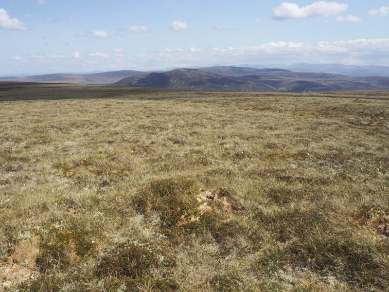
From there I descended south, the walking was relatively easy through the numerous mostly dry peat hags, crossed the 710 knoll, then in similar underfoot conditions ascended Carn Caol. The summit of this Graham Top was a heather/mossy knoll.
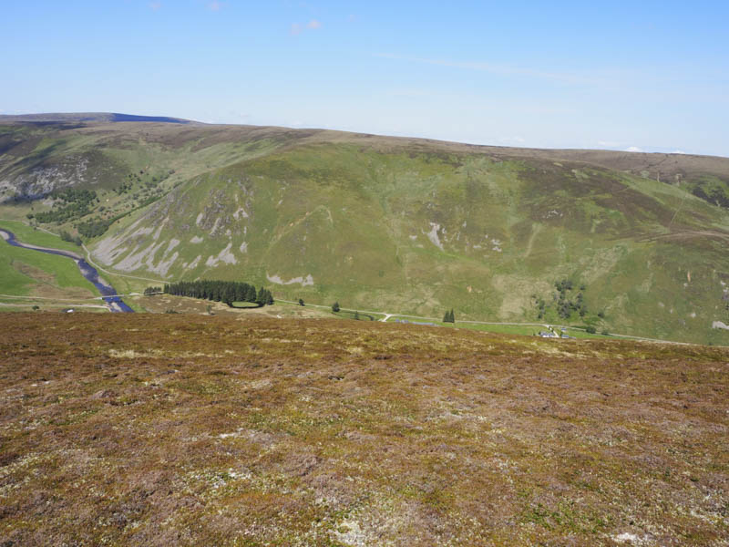
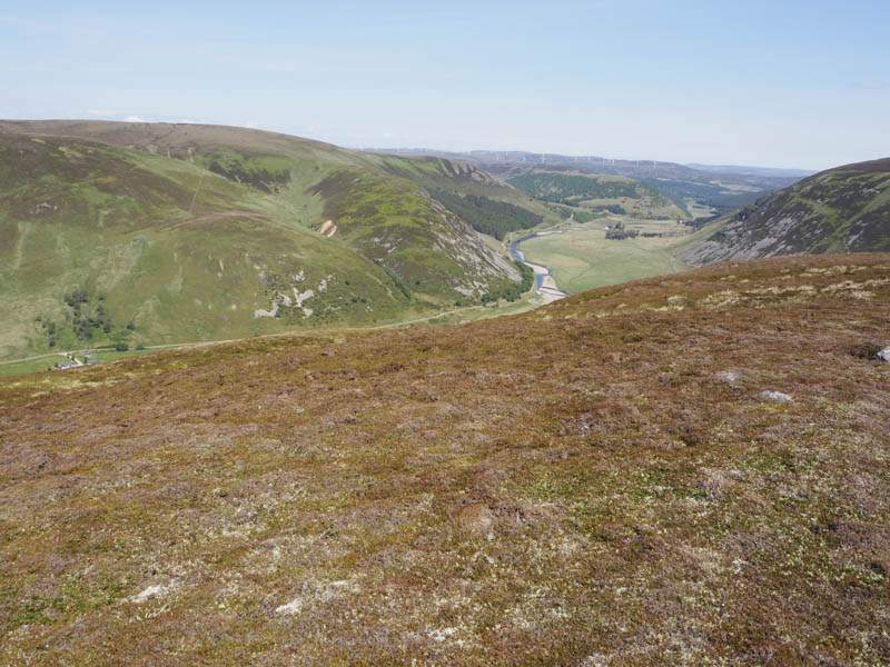
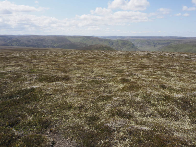
The descent WNW was through rough vegetation with several drainage channels crossing the hillside. It took me to the Caochan Crom, easily crossed, to reach the vehicle track on its north-west side. This was the lower section of the track used on the approach to Carn Coire na h-Eirghe. The vehicle track wound its way through a gorge, fording a couple of streams and gaining a bit of height before dropping down to the bridge over the Allt Mhuillin. The track was then followed to the point I crossed it earlier in the day and from there I retraced my route back to the car.
- Time taken – 5.25 hours.
- Distance – 14.5 kilometres.
- Height climbed – 590 metres.