I drove south-west along the single track road on the south side of the River Findhorn in Strath Dearn, accessed from the road south of Tomatin, and parked on the grass east of Knockandoo Farm. I walked along this road passed the farm and to just beyond the house at Strathnoon then up the track on the east side of the Wester Strathnoon Burn steadily gaining height.
I later left the vehicle track and climbed to the summit of An Socach before descending SSE along animal trails and across some rough vegetation before climbing to the summit of the Tump, Carn Ruighe Shamhraich. Thereafter I descended south to an estate track which took me east to the bridge over the Allt Lathach.
After a short climb to a junction of tracks I briefly walked south then commenced the ascent of Carn Phris Mhoir initially on a grassy rake but later on a mixture of vegetation. The flattish summit of this Graham Top was reached and I covered a few points including walking along the edges of a couple of fences which crossed the summit but was unable to say where the highest point was.
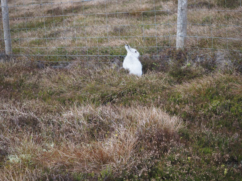
I descended east then north-east following a fence which was covered in rabbit wire to obviously contain the mountain hares.
At the col with Carn na Sguabaich I continued along the fence edge, crossing a stock fence, to reach the summit of this Tump marked by a cairn.
Thereafter I returned part way up Carn Phris Mhoir before heading north-west across a mixture of vegetation, crossing fences and a track then ascending the Tump, Creag Shrath-nin. I then descended north-east across heather and lower down some rough ground to reach the road just west of Knockandoo Farm.
- Time taken – 5 hours.
- Distance – 16.25 kilometres.
- Height climbed – 615 metres.