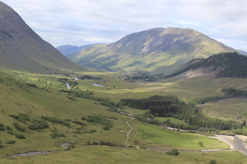
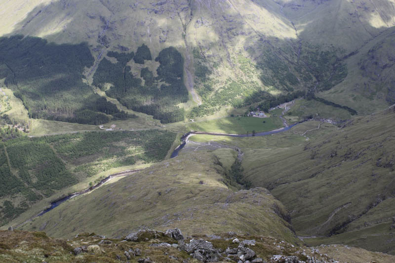
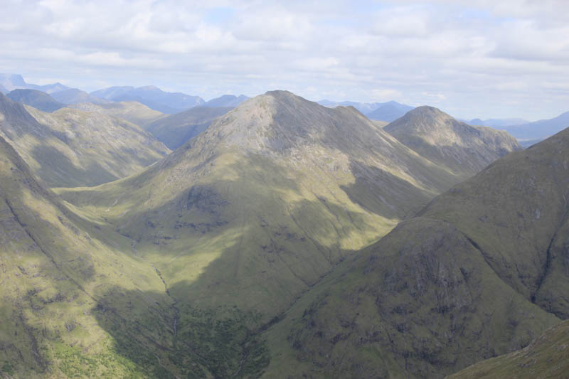
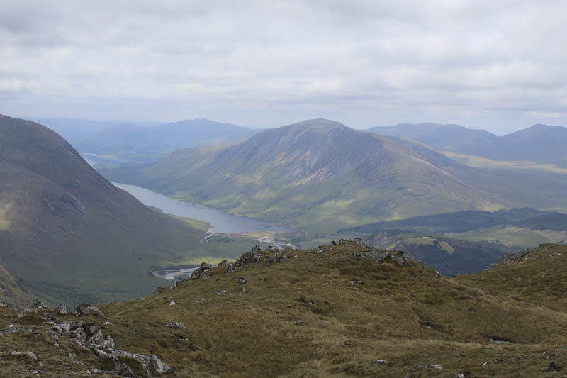
We parked in Glen Etive just south of the vehicle track leading to Coileitir then walked down this track to the bridge over the River Etive then north-east along the vehicle track on the east side of the river.
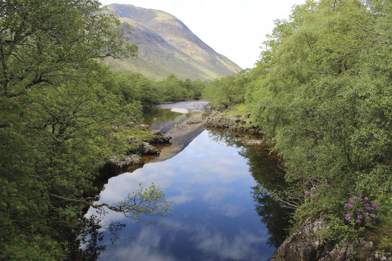
This took us to the bridge over the Allt Ceitlein and to Glenceitlein Cottage.
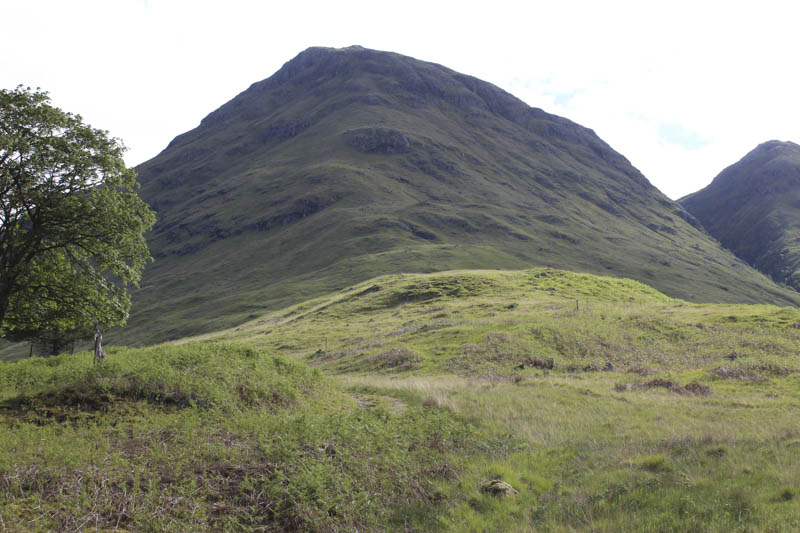
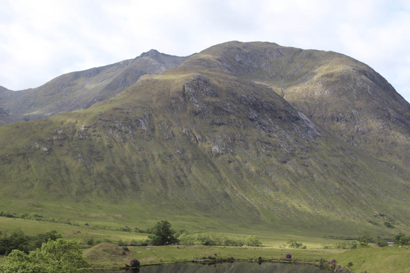
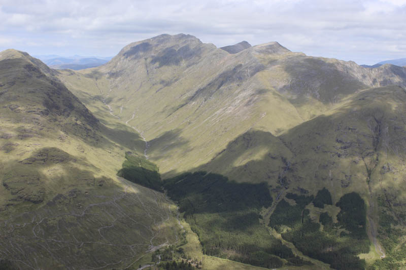
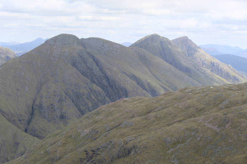
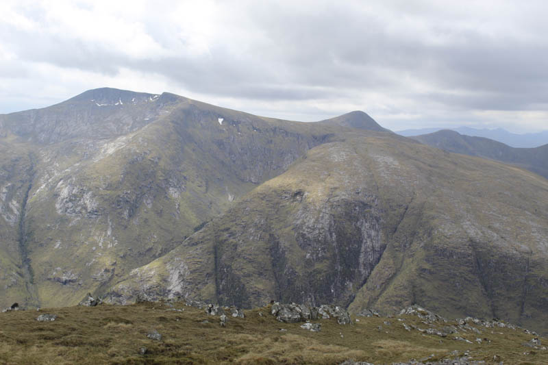
At the rear of the property we walked briefly along a vehicle track then up the side of some old fencing to locate the walker’s path onto the Corbett, Stob Dubh. The initial ascent of its South-West Ridge was reasonably easy compared to higher up. Here the gradient steepened and it was a steady plod occasionally on a path but mainly across rough vegetation avoiding the rocky areas. Beyond the rock, the slope eased as we headed to the summit cairn.
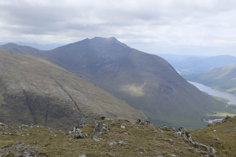
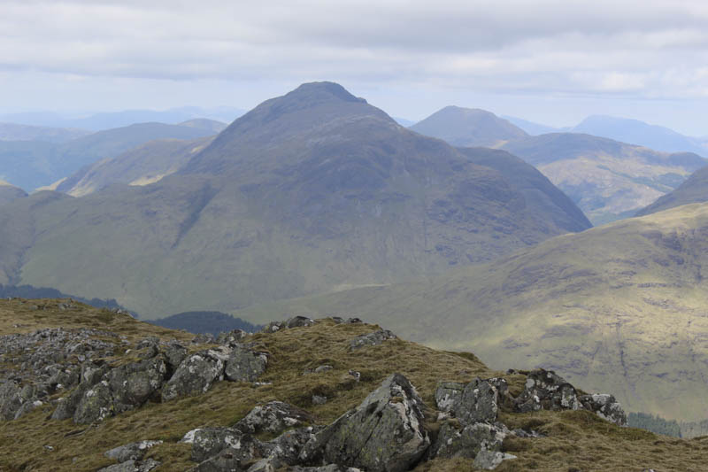
Due to the fine weather we had an extended break at the summit before returning by the ascent route.
- Time taken – 5.25 hours.
- Distance 8.25 kilometres.
- Height climbed – 895 metres.