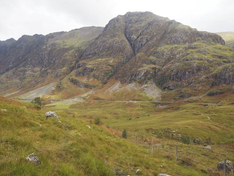
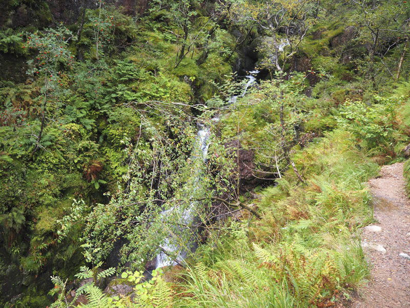
I left my vehicle in the large car park on the south side of the A82 Glasgow to Fort William Road in Glen Coe, where it was already busy with tourists taking photos. I walked down the path to the River Coe then used the steps, bridge and wire supports to cross the gully.
![Coire nan Lochan and Aonach Dubh to the right](https://scotlandhills.net/wp-content/uploads/2021/01/01-Coire-nan-Lochan-and-Aonach-Dubh-to-the-right.jpg)
![Route to Lost Valley. (Coire Gabhail) Gearr Aonach to the right](https://scotlandhills.net/wp-content/uploads/2021/01/02-Route-to-Lost-Valley.-Coire-Gabhail-Gearr-Aonach-to-the-right.jpg)
![Glen Coe and A82. Am Bodach beyond](https://scotlandhills.net/wp-content/uploads/2021/01/03-Glen-Coe-and-A82.-Am-Bodach-beyond.jpg)
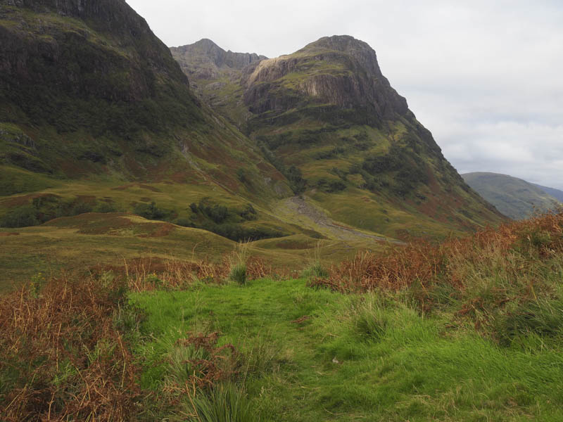
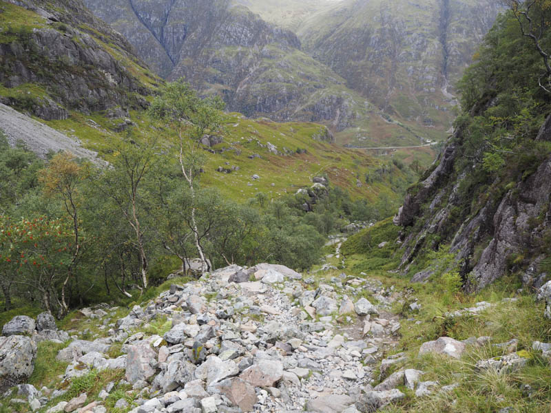
The path passed through some heather then became eroded and narrowed as it rose above the gully of the Allt Coire Gabhail later crossing this stream.
![Allt Coire Gabhail](https://scotlandhills.net/wp-content/uploads/2021/01/04-Allt-Coire-Gabhail.jpg)
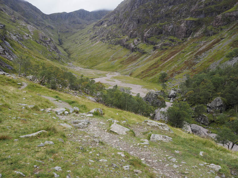
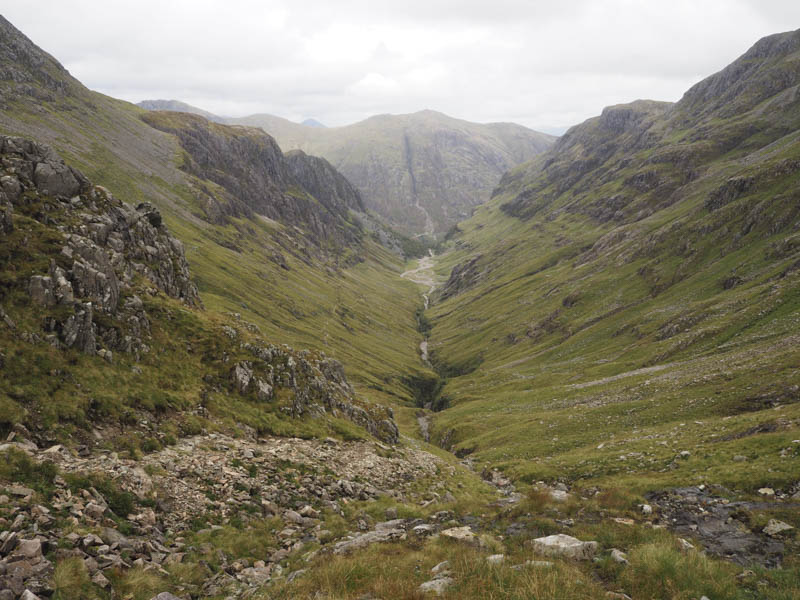
The eroded and in places rocky path led steeply into Coire Gabhail, The Lost Valley, where the stream ran underground.
![Looking back down path from Lost Valley (Coire Gabhail)](https://scotlandhills.net/wp-content/uploads/2021/01/05-Looking-back-down-path-from-Lost-Valley-Coire-Gabhail.jpg)
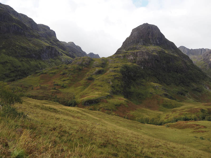
Once across this wide and flat coire I located the path on the north-west side of the stream which steadily gained height.
![Lost Valley (Coire Gabhail) and route to Stob Coire Sgreamhach](https://scotlandhills.net/wp-content/uploads/2021/01/06-Lost-Valley-Coire-Gabhail-and-route-to-Stob-Coire-Sgreamhach.jpg)
Well up the glen the path split, the right hand one heading to the col below Stob Coire nan Lochan, but I continued straight ahead.
![Waterfall in Coire Gabhail](https://scotlandhills.net/wp-content/uploads/2021/01/07-Waterfall-in-Coire-Gabhail.jpg)
![Rescue Helicopter](https://scotlandhills.net/wp-content/uploads/2021/01/08-Rescue-Helicopter.jpg)
![Lost Valley (Coire Gabhail). Am Bodach beyond](https://scotlandhills.net/wp-content/uploads/2021/01/09-Lost-Valley-Coire-Gabhail.-Am-Bodach-beyond.jpg)
![Stob Coire nan Lochan](https://scotlandhills.net/wp-content/uploads/2021/01/10-Stob-Coire-nan-Lochan.jpg)
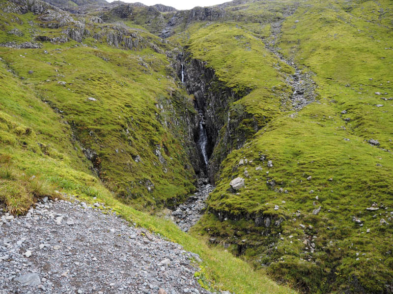
The route was now a bit awkward underfoot with some loose scree especially as I climbed onto the Bealach Dearg.
![Final ascent to Stob Coire Sgreamhach](https://scotlandhills.net/wp-content/uploads/2021/01/11-Final-ascent-to-Stob-Coire-Sgreamhach.jpg)
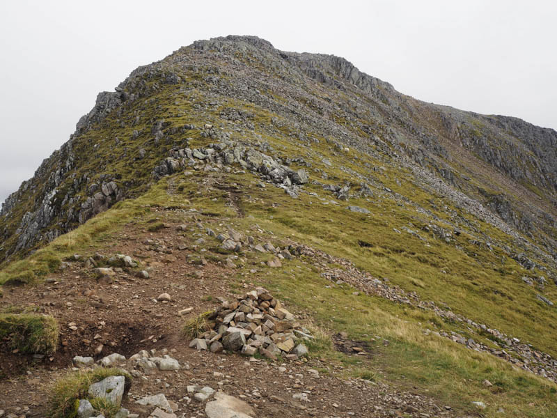
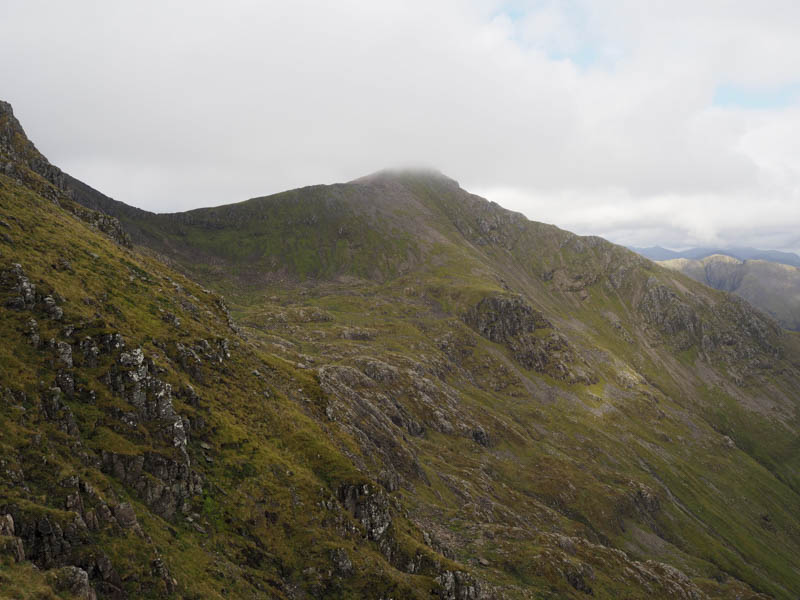
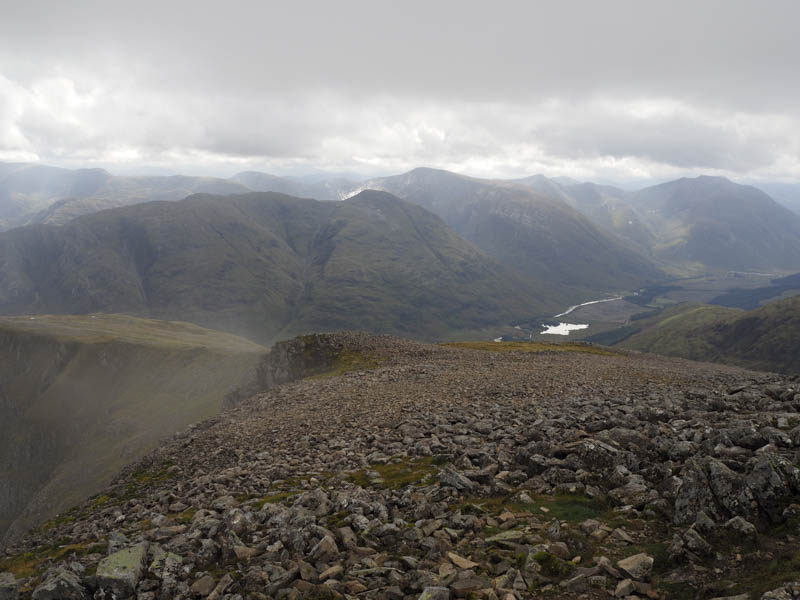
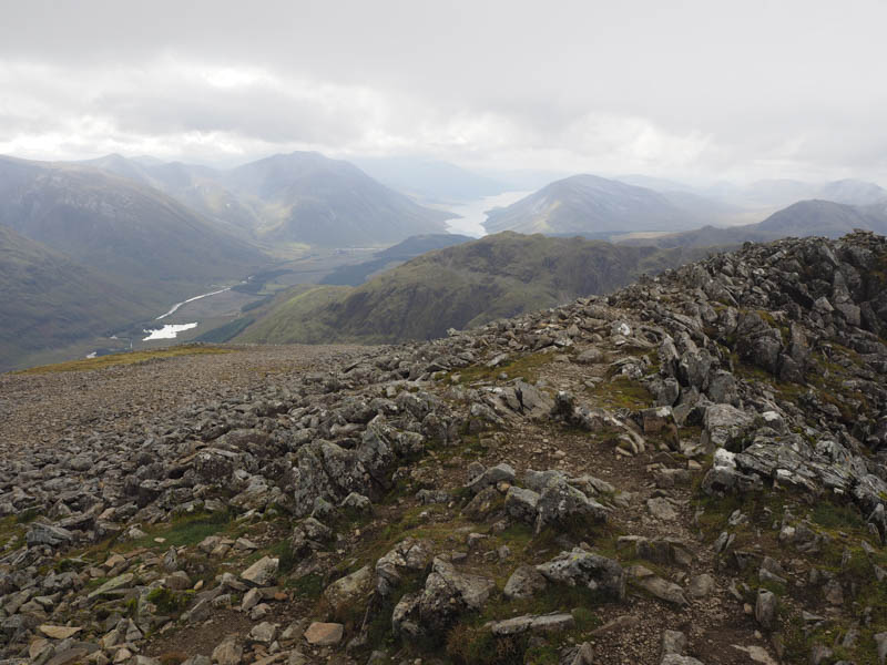
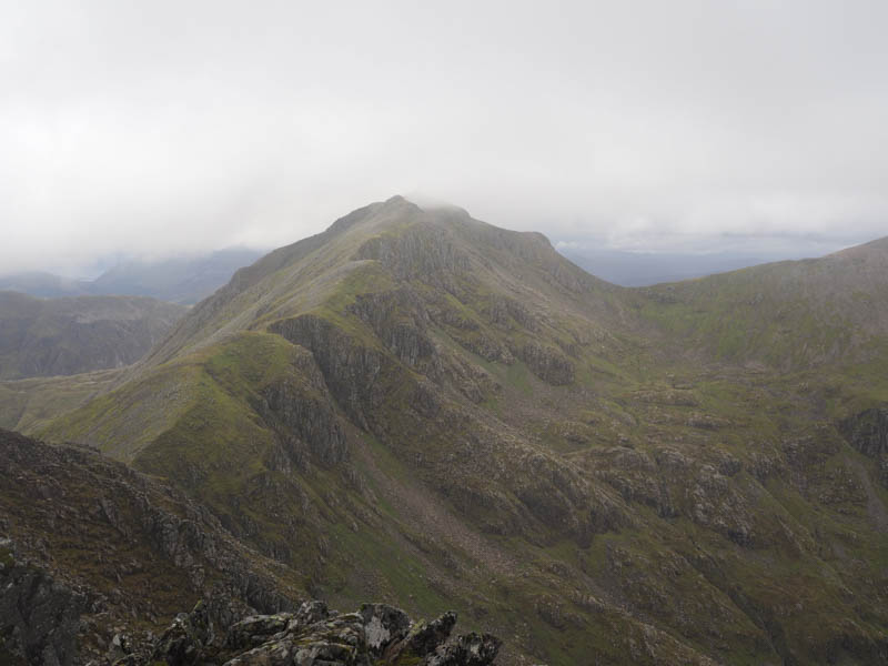
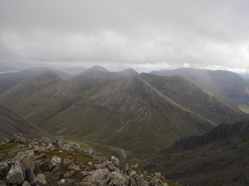
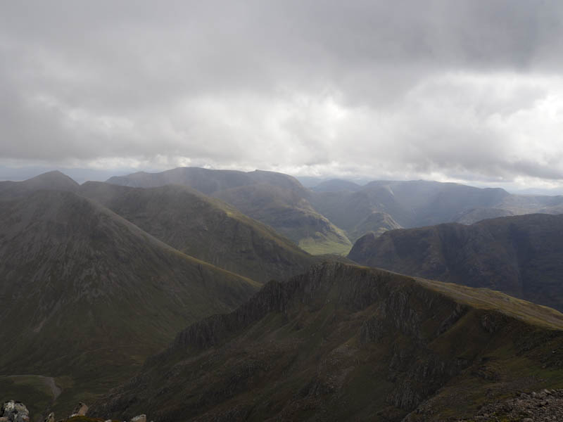
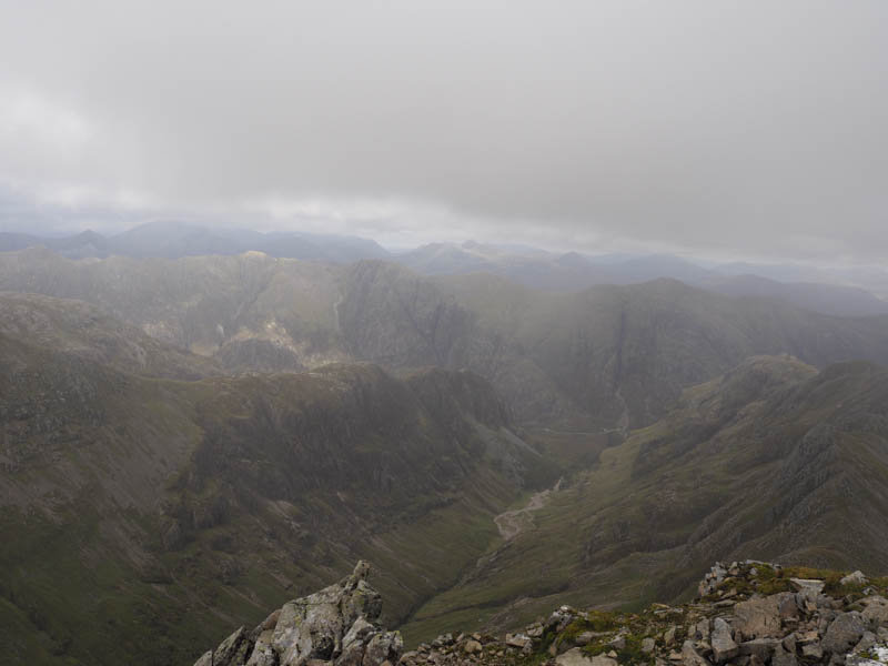
It was then a fairly easy ascent across rocks and stones to reach the cairn marking the summit of the Munro, Stob Coire Sgreamhach. Unfortunately low cloud had engulfed the tops, but by the time I had a bite to eat the cloud began to lift.
![Stob an Fhuarain and Sgor na h-Ulaidh](https://scotlandhills.net/wp-content/uploads/2021/01/12-Stob-an-Fhuarain-and-Sgor-na-h-Ulaidh.jpg)
![Stob Dubh and Glen Etive](https://scotlandhills.net/wp-content/uploads/2021/01/13-Stob-Dubh-and-Glen-Etive.jpg)
![Glen Etive, Ben Starav and Loch Etive](https://scotlandhills.net/wp-content/uploads/2021/01/14-Glen-Etive-Ben-Starav-and-Loch-Etive.jpg)
![Bidean nam Bian](https://scotlandhills.net/wp-content/uploads/2021/01/15-Bidean-nam-Bian.jpg)
![Buachaille Etive Mor behind Buachaille Etive Beag](https://scotlandhills.net/wp-content/uploads/2021/01/16-Buachaille-Etive-Mor-behind-Buachaille-Etive-Beag.jpg)
![Creise in the distance](https://scotlandhills.net/wp-content/uploads/2021/01/17-Creise-in-the-distance.jpg)
![Coire Gabhail (Lost Valley) and Glen Coe](https://scotlandhills.net/wp-content/uploads/2021/01/18-Coire-Gabhail-Lost-Valley-and-Glen-Coe.jpg)
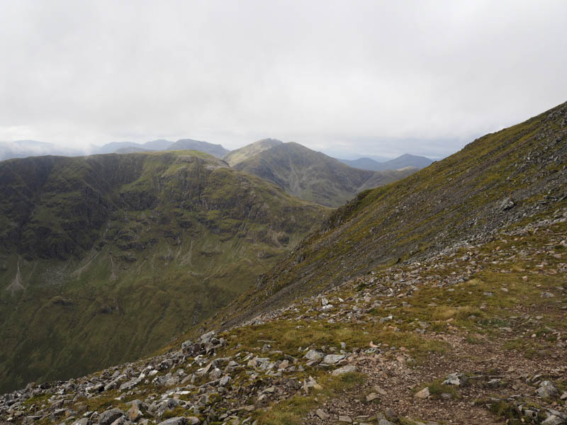
The return was by the ascent route although the initial drop off Bealach Dearg was a bit tricky.
- Time taken – 5.5 hours.
- Distance – 9.5 kilometres.
- Height climbed – 980 metres.